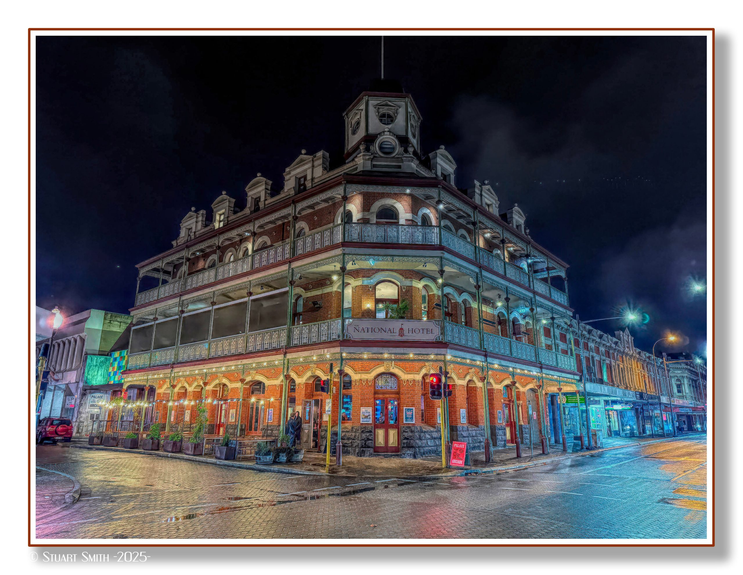
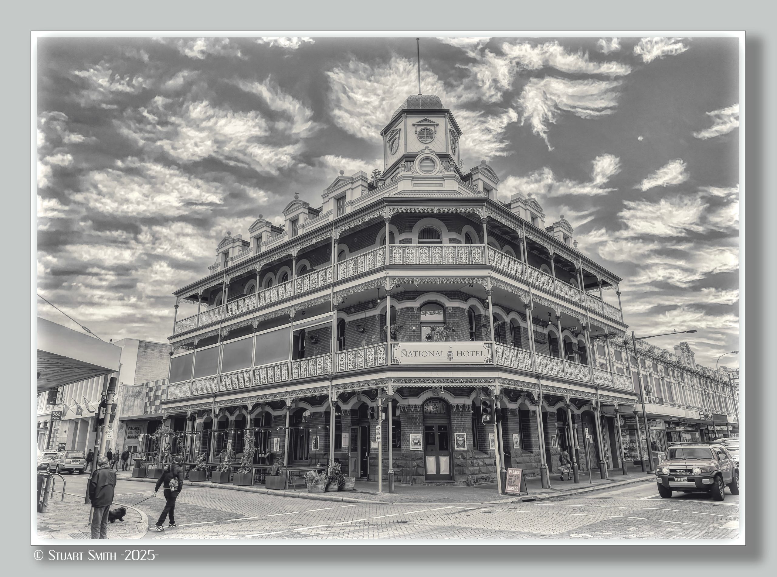
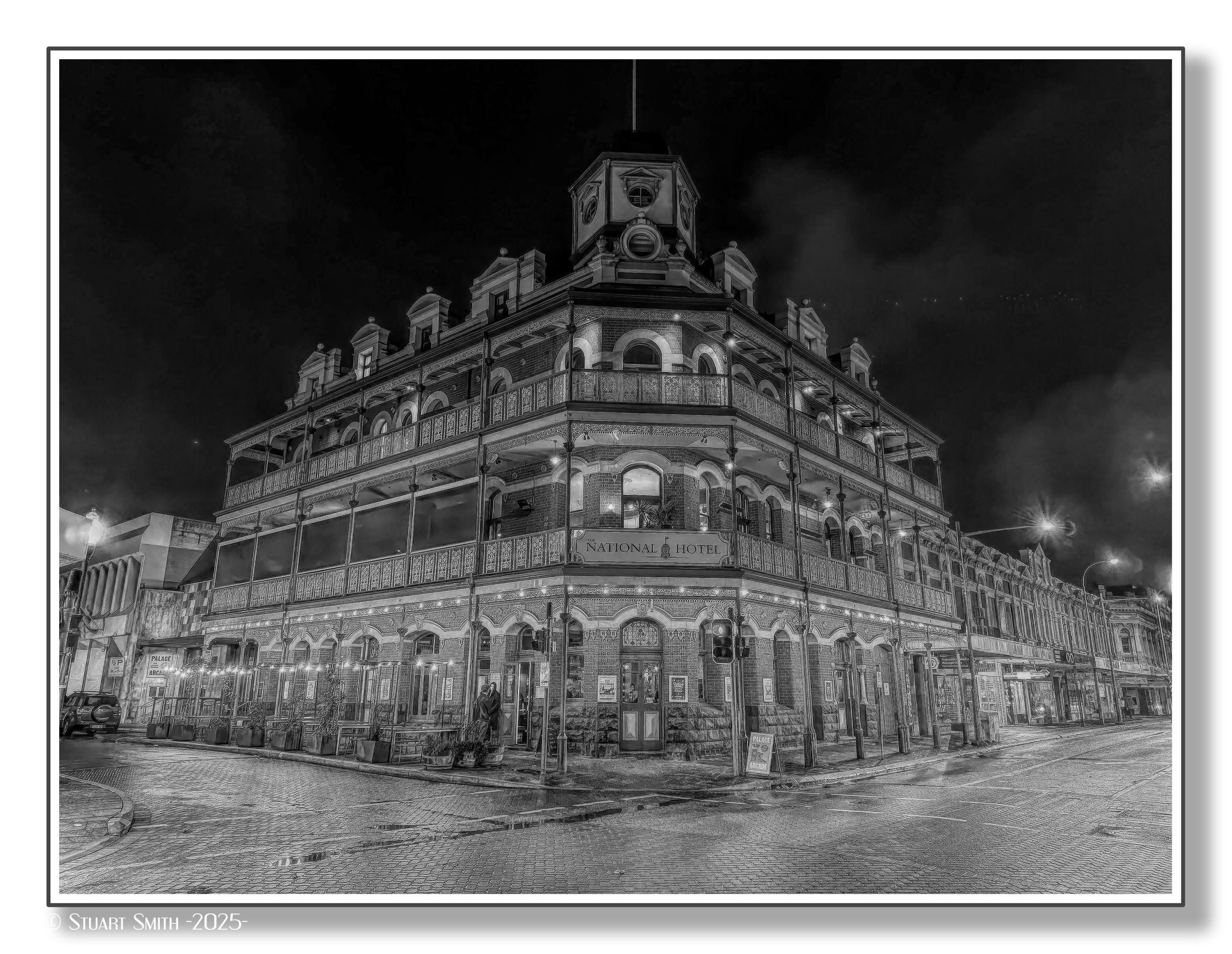
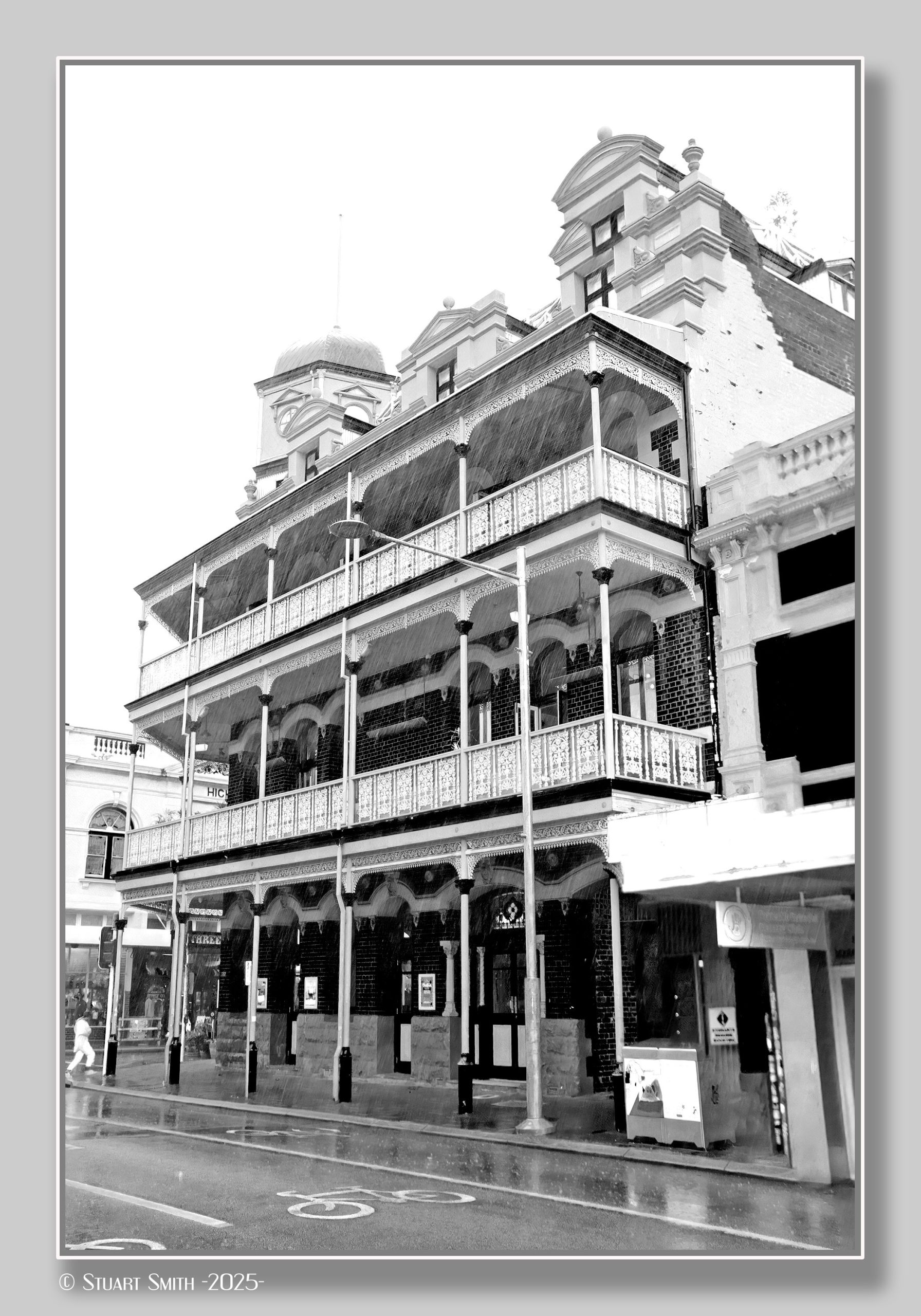
We spent a few days staying in Fremantle at the historic National Hotel.
[Remember... images will open in a new tab when clicked on. All are geotagged and can be downloaded and viewed on a map using the software at this link.]

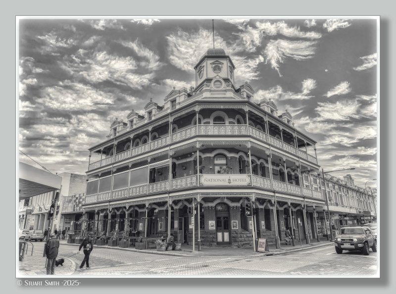

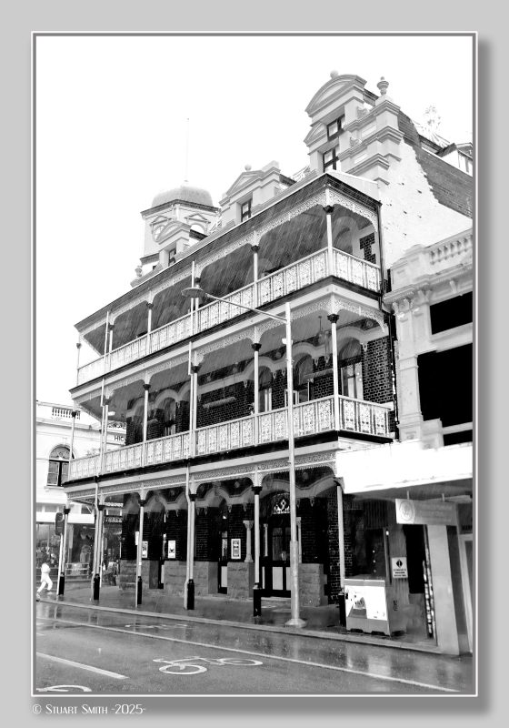
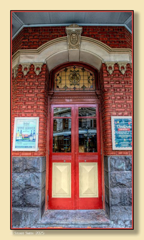
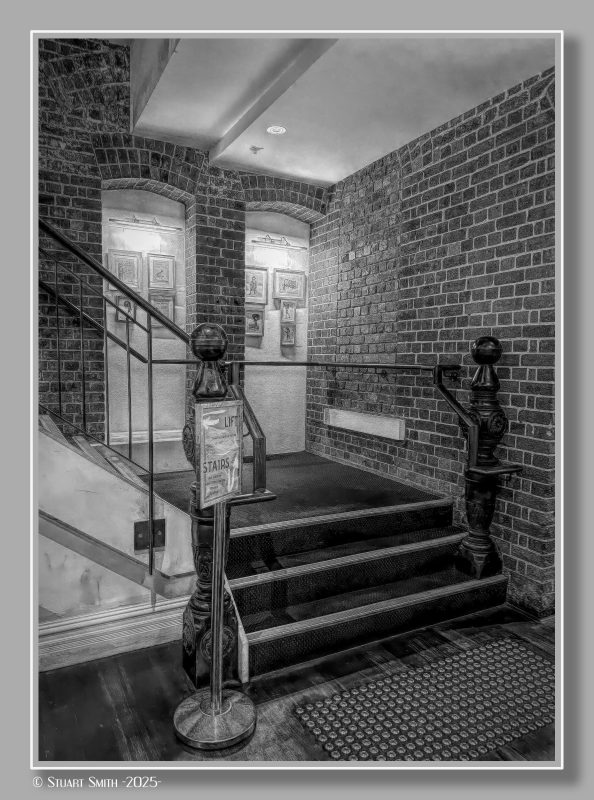
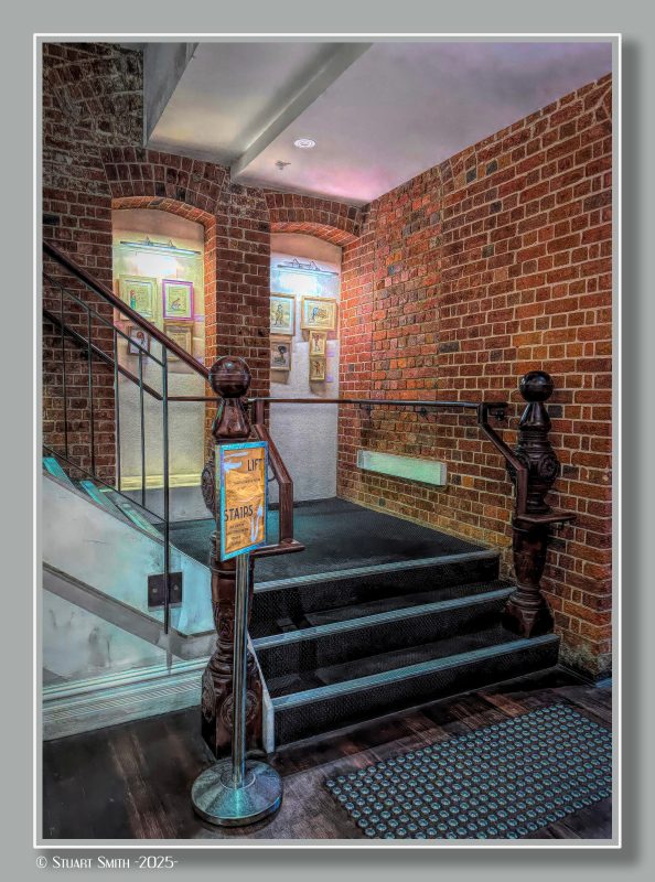
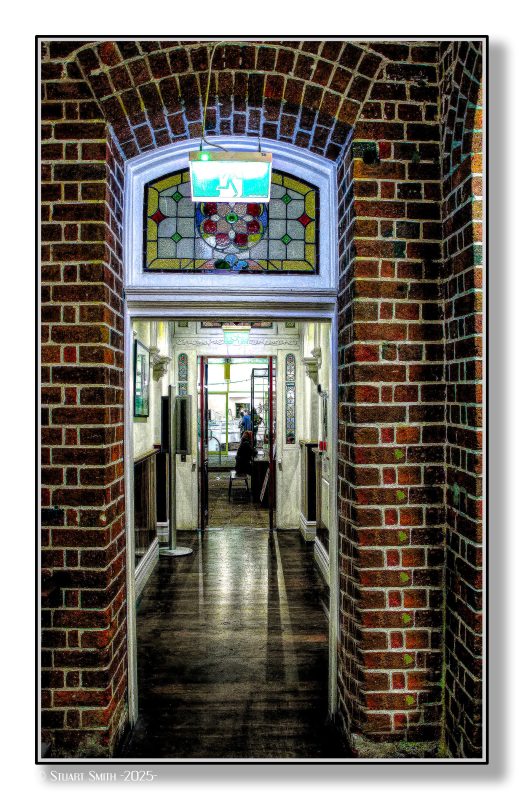 National Hotel, Cnr High & Market Streets, Fremantle, Western Australia
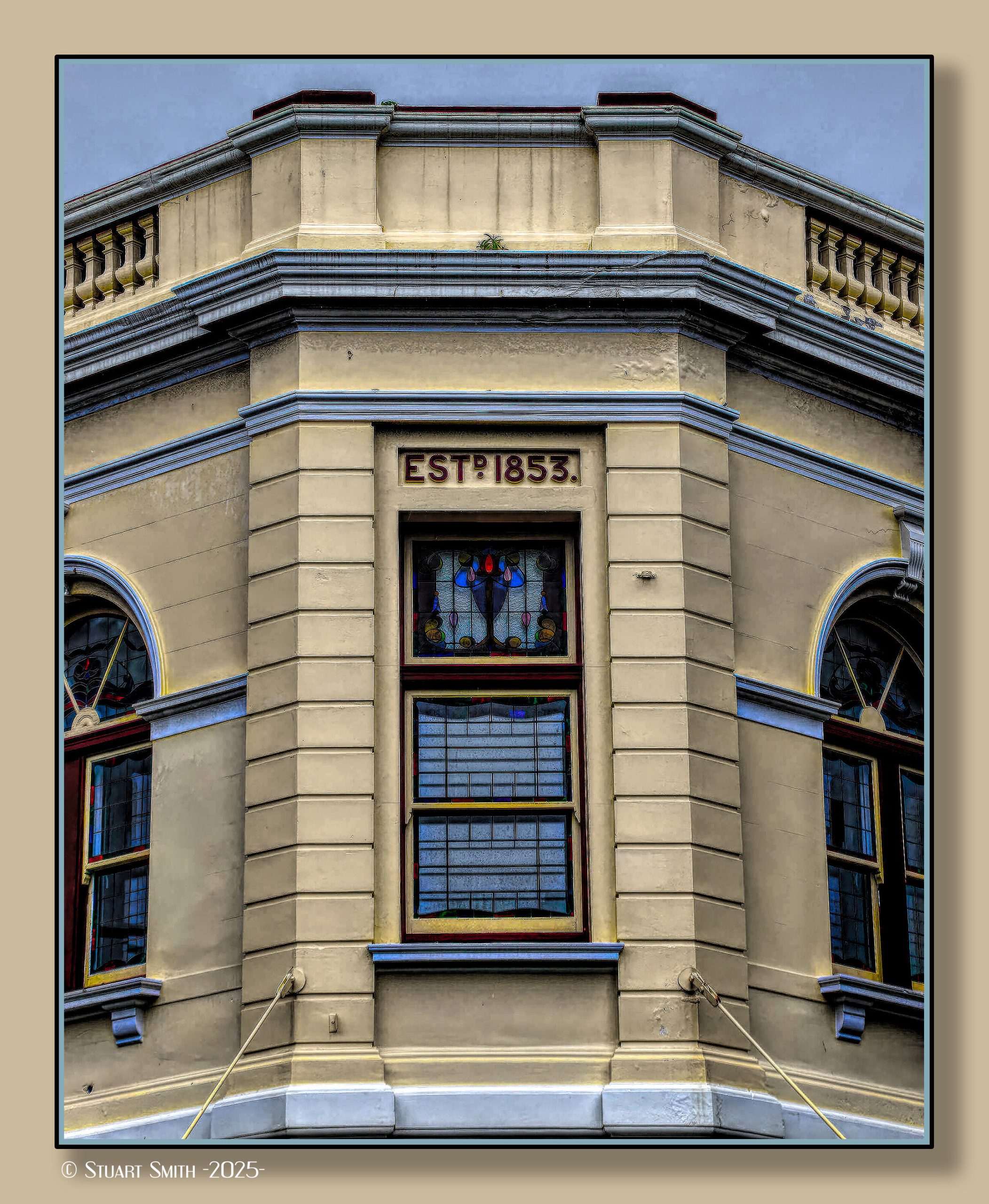
The National Hotel is on the corner of High and Market streets in Fremantle. Originally built as a shop in 1868, it was occupied by the National Bank in the early 1880s. When the bank relocated in 1886, the building became the National Hotel.
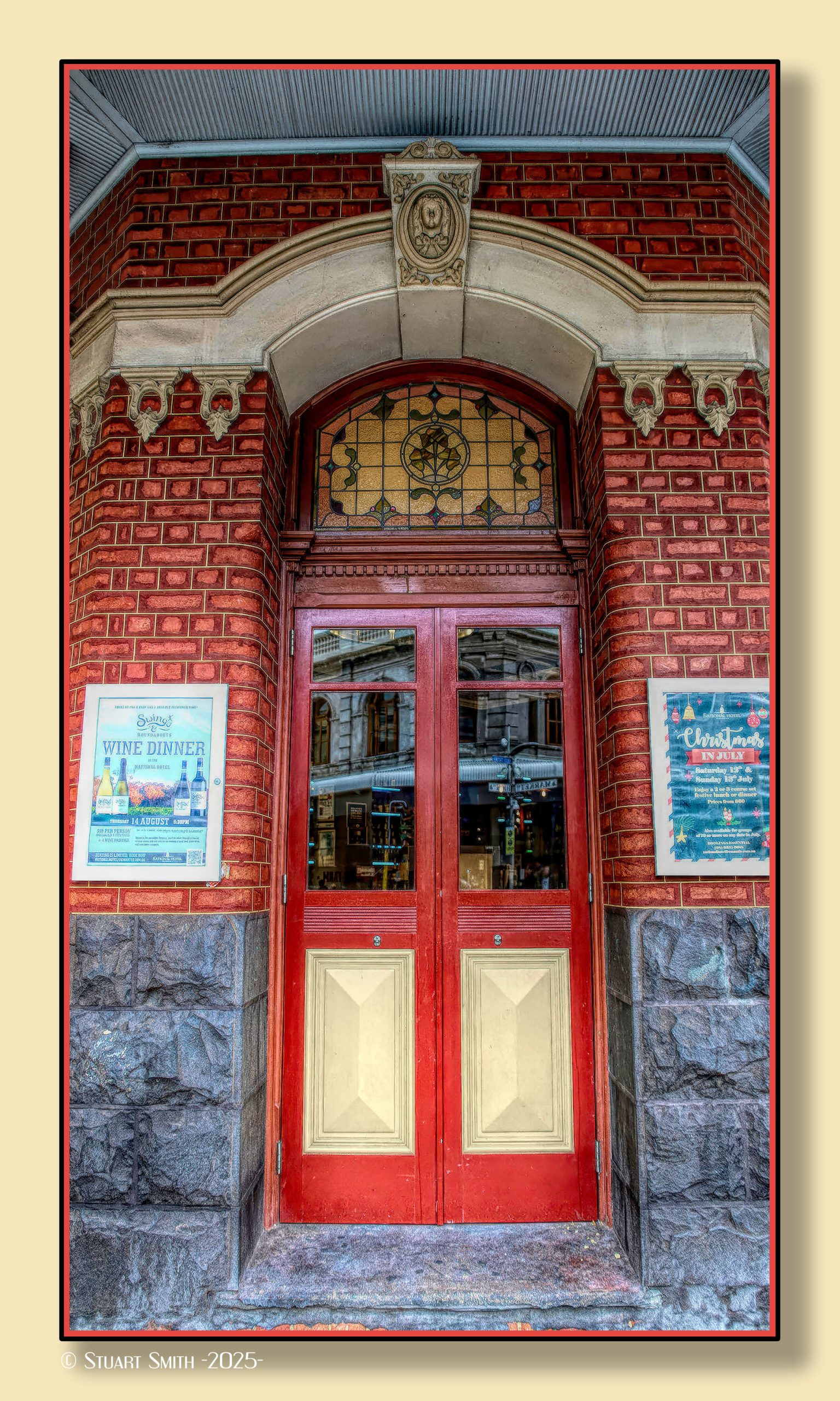
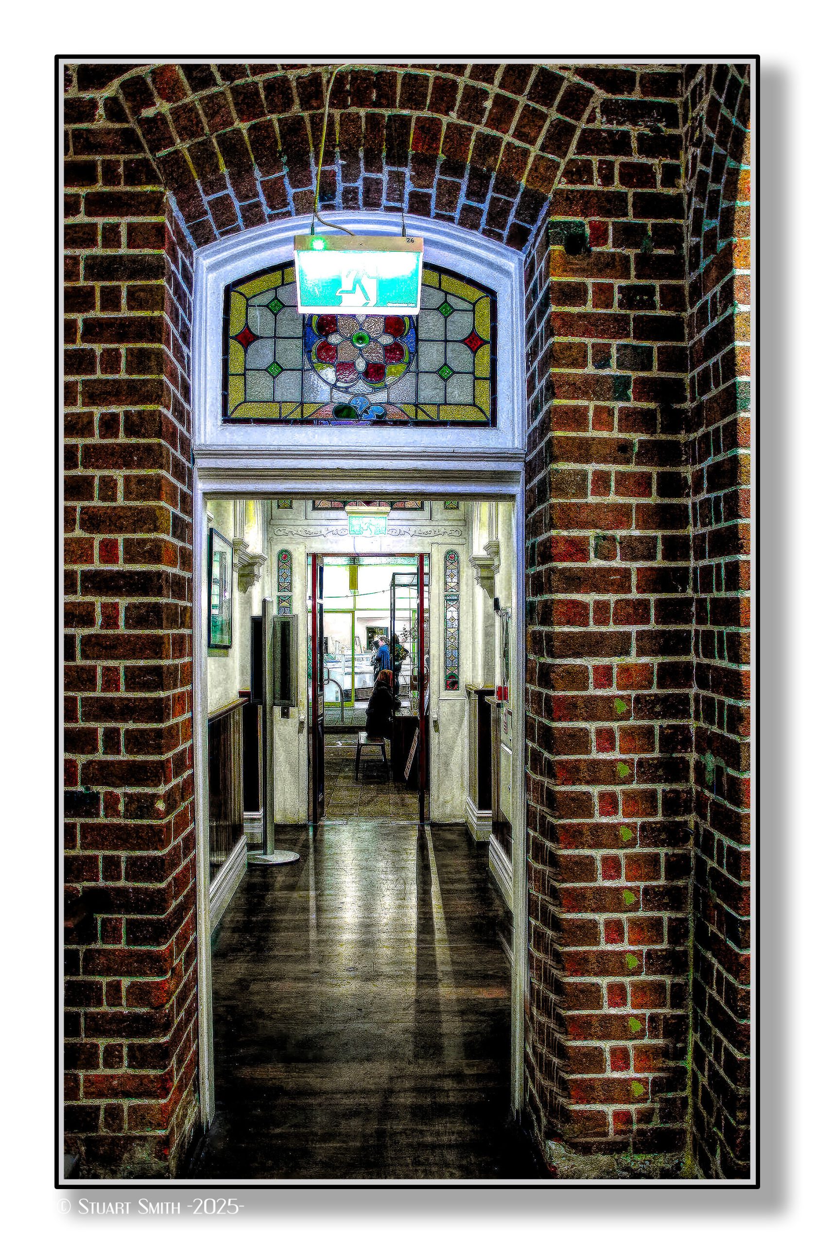
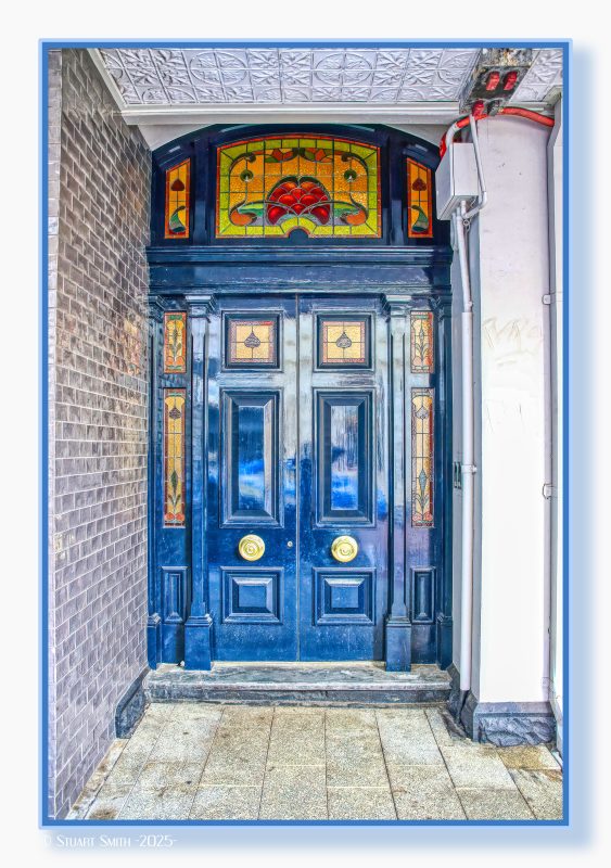 Stained Glass Doorway, High Street, Fremantle, Western Australia
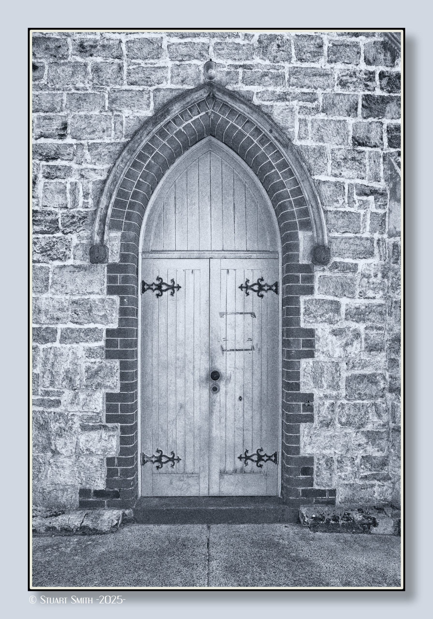
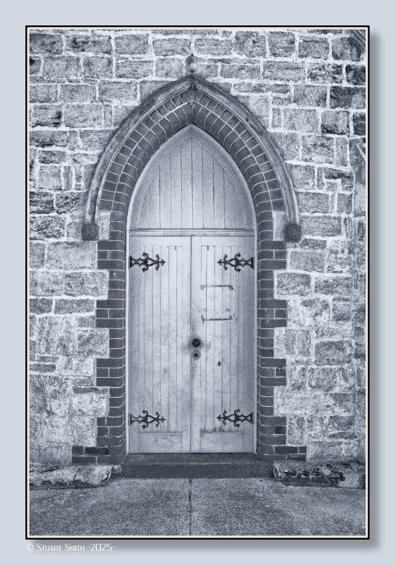 Side Door, Scots Presbyterian Church, Parry Street, Fremantle, Western Australia
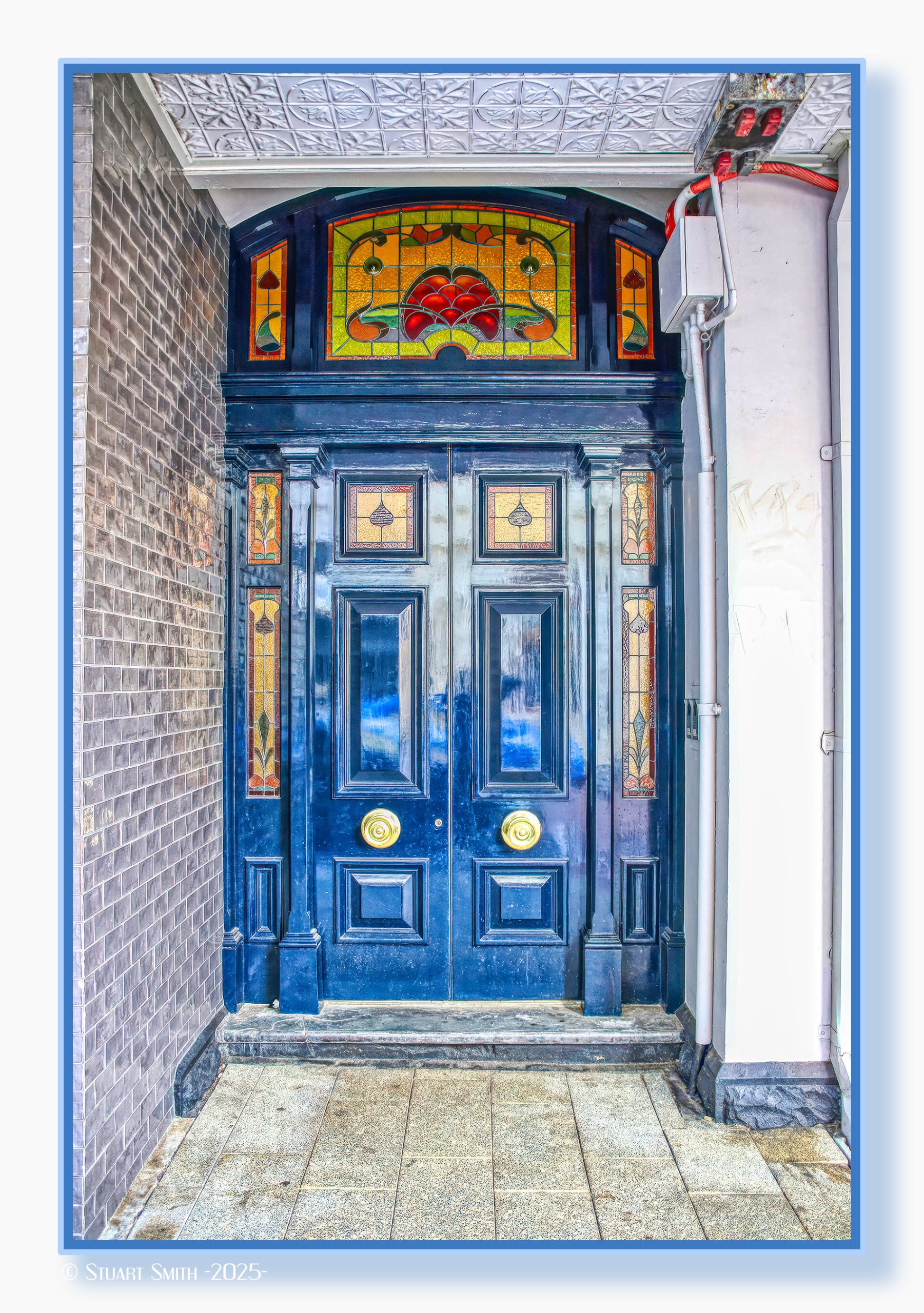
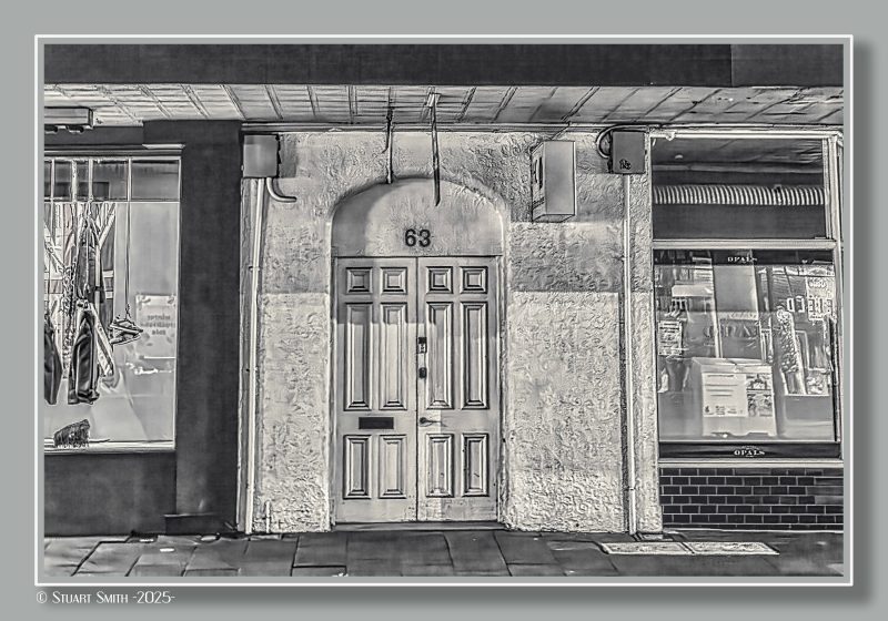 Doorway, 63 Market Street, Fremantle, Western Australia
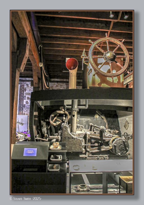
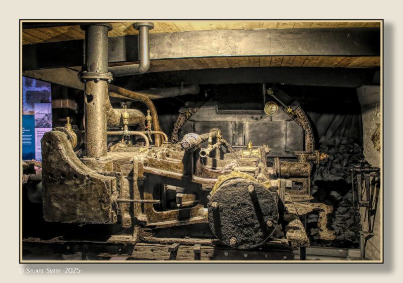
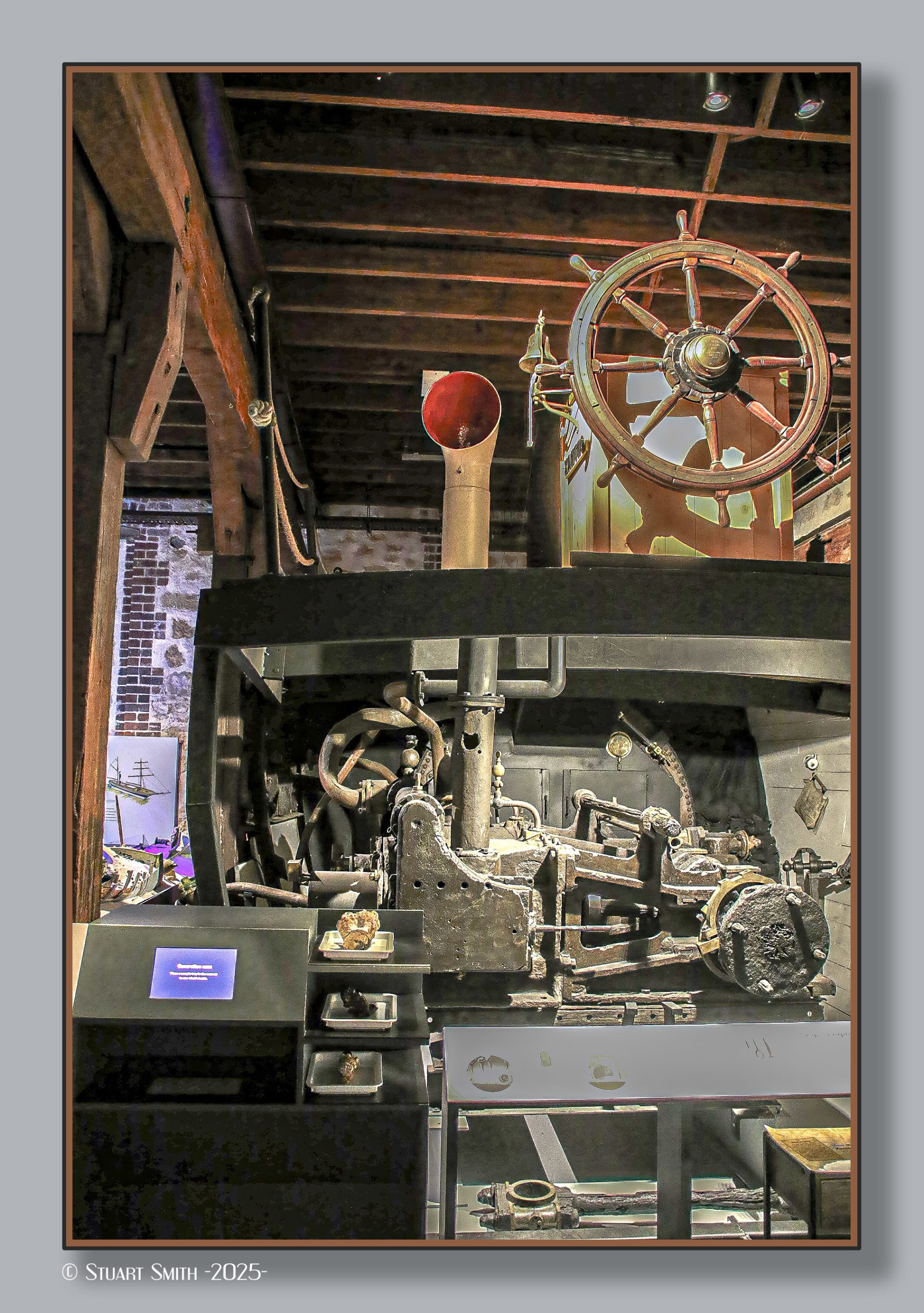
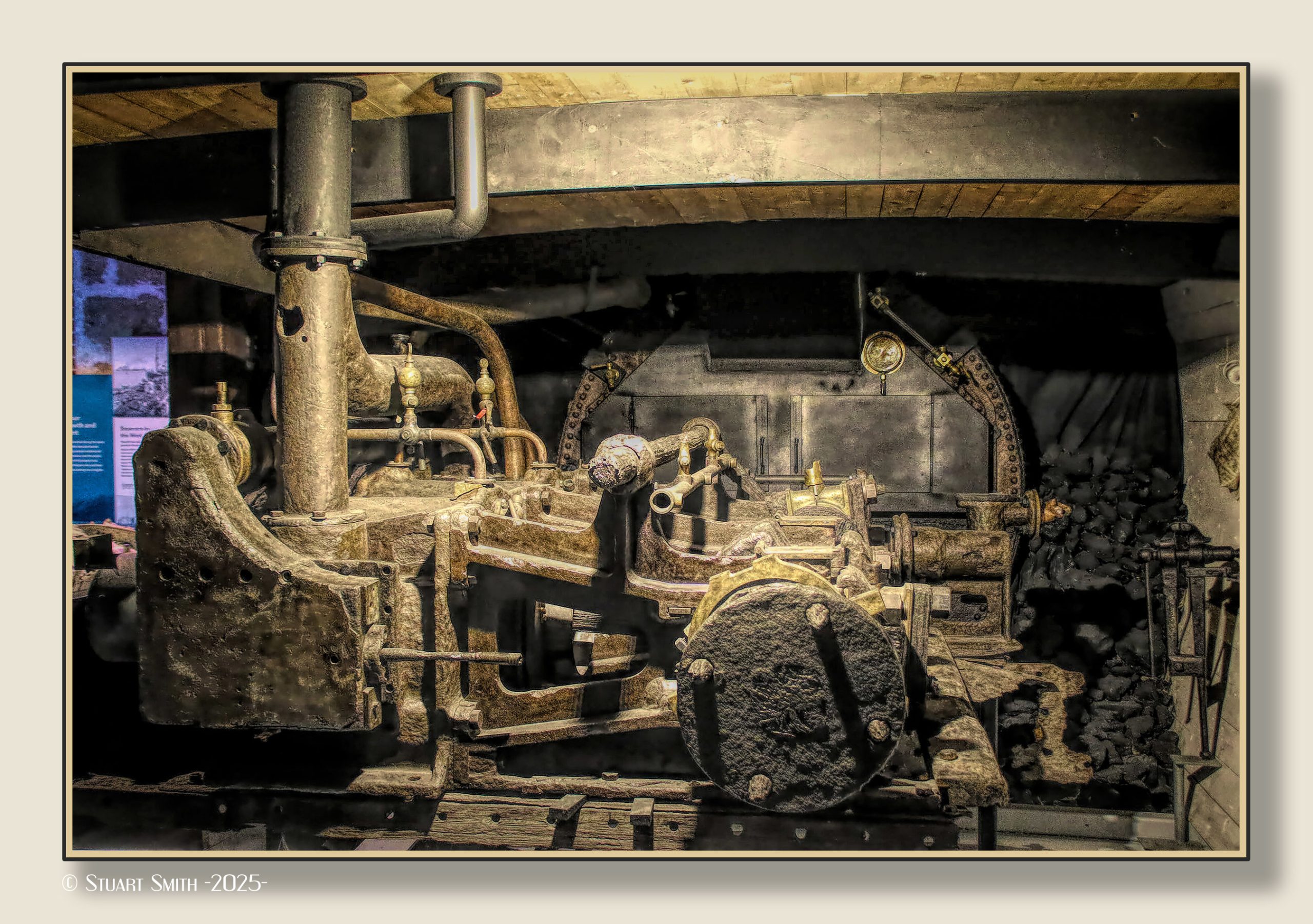
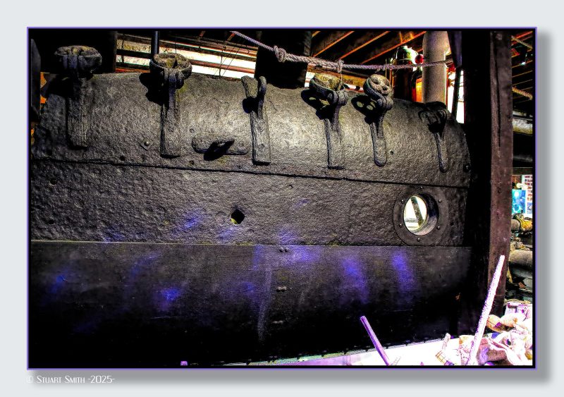 Relics of SS Xantho, WA Shipwrecks Museum, Marine Terrace, Fremantle, Western Australia
Story of the SS Xantho
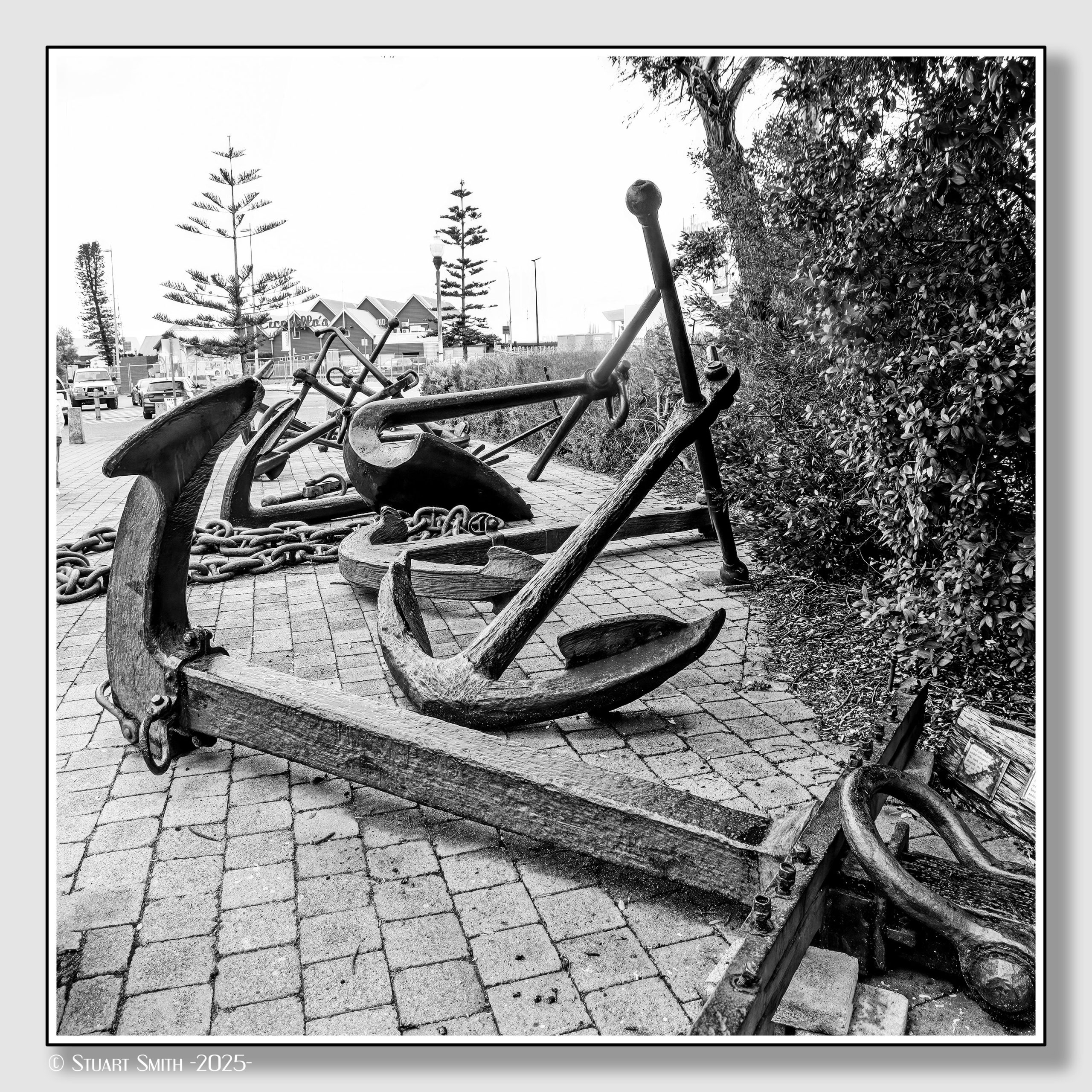
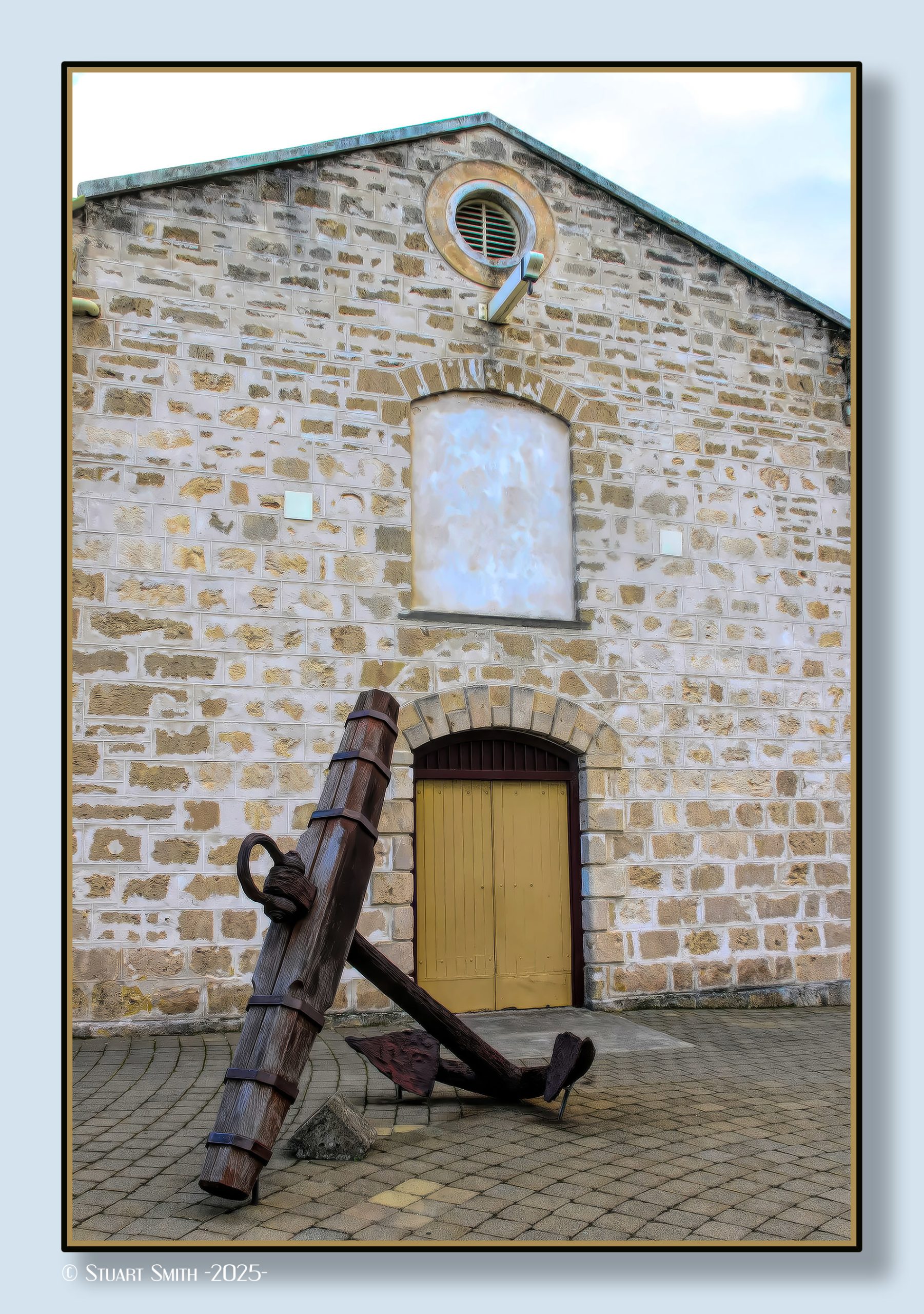
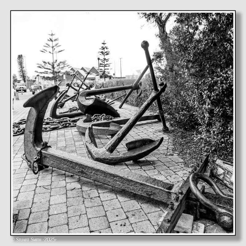 Anchors Exhibit, WA Shipwrecks Museum, Marine Terrace, Fremantle, Western Australia
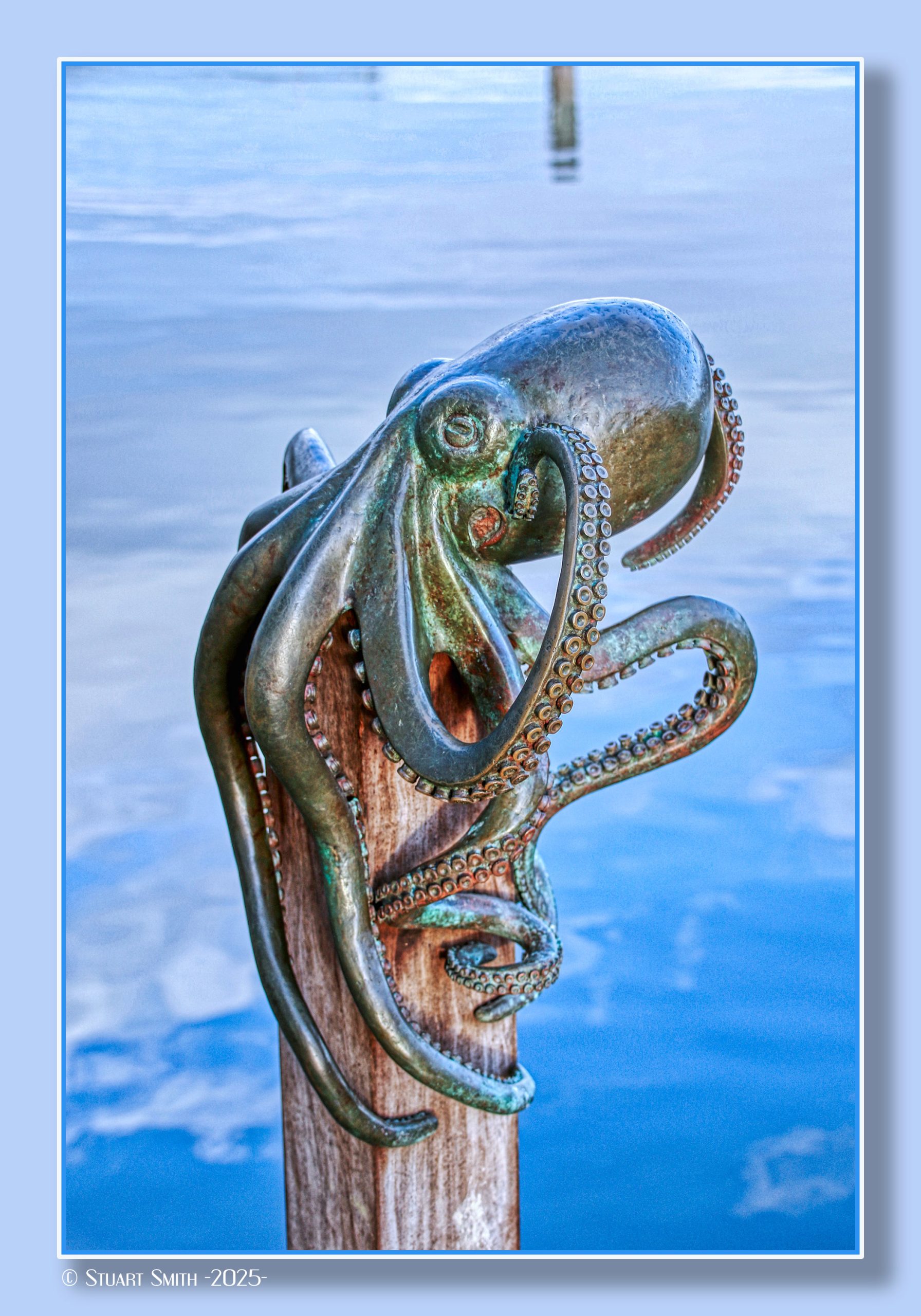
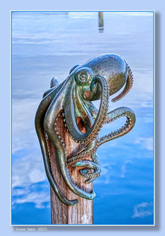 Arty Occy, Fishing Boat Harbour, Mews Road, Fremantle, Western Australia
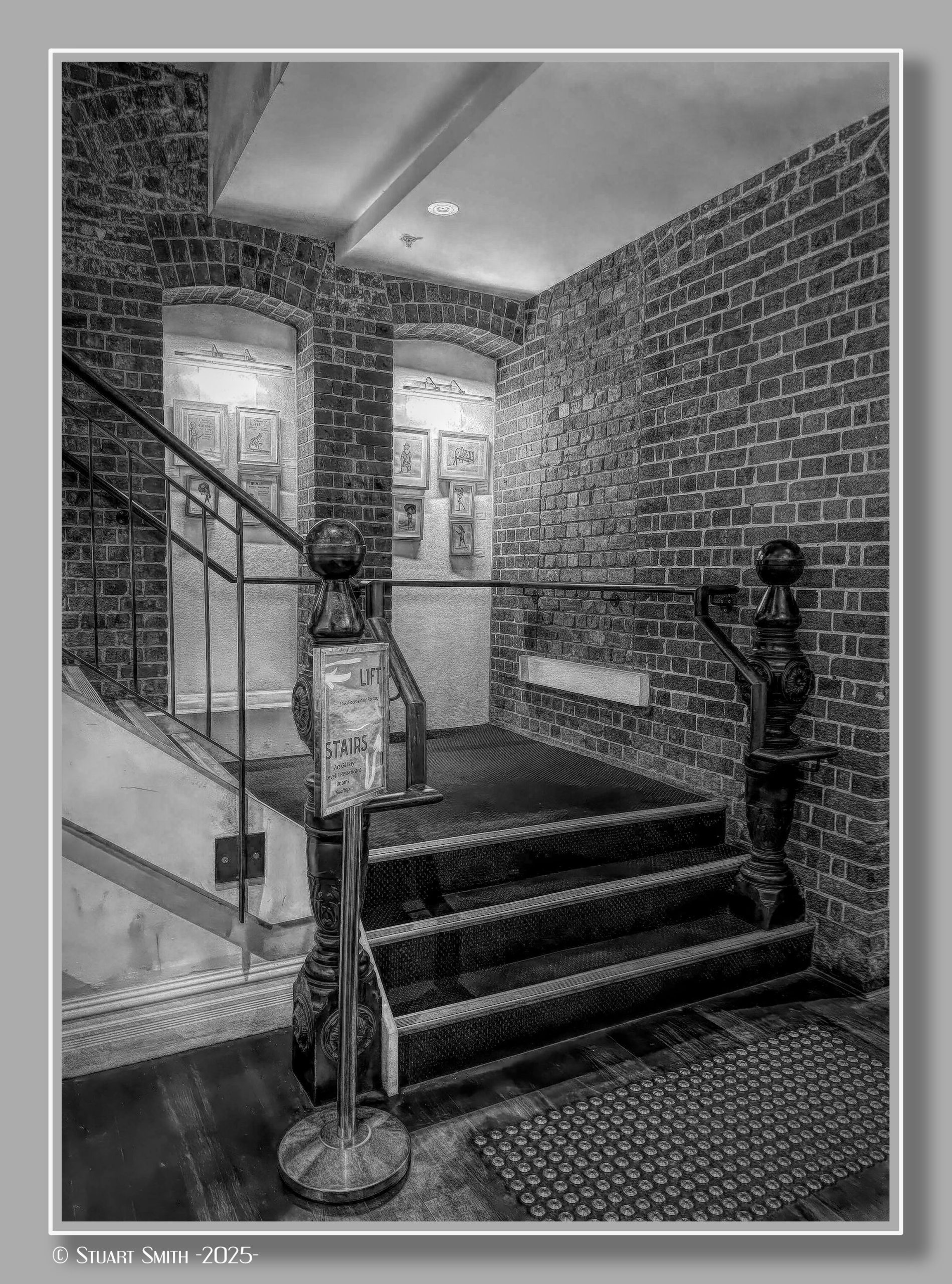
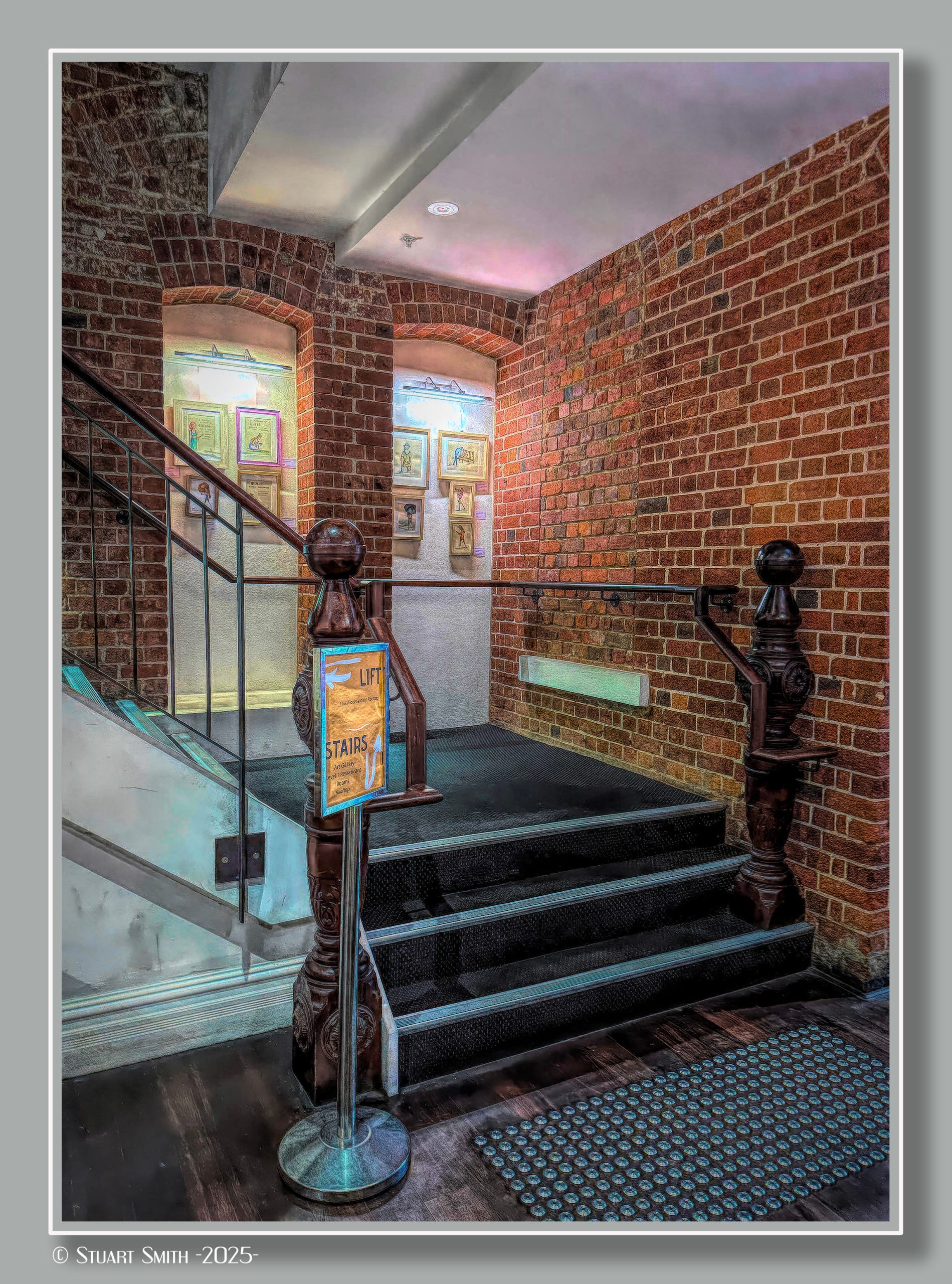
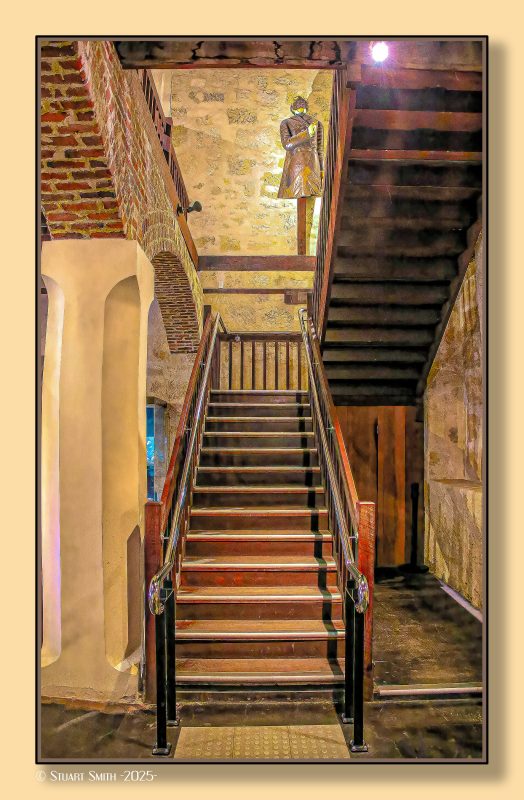 Staircase, WA Shipwrecks Museum, Marine Terrace, Fremantle, Western Australia
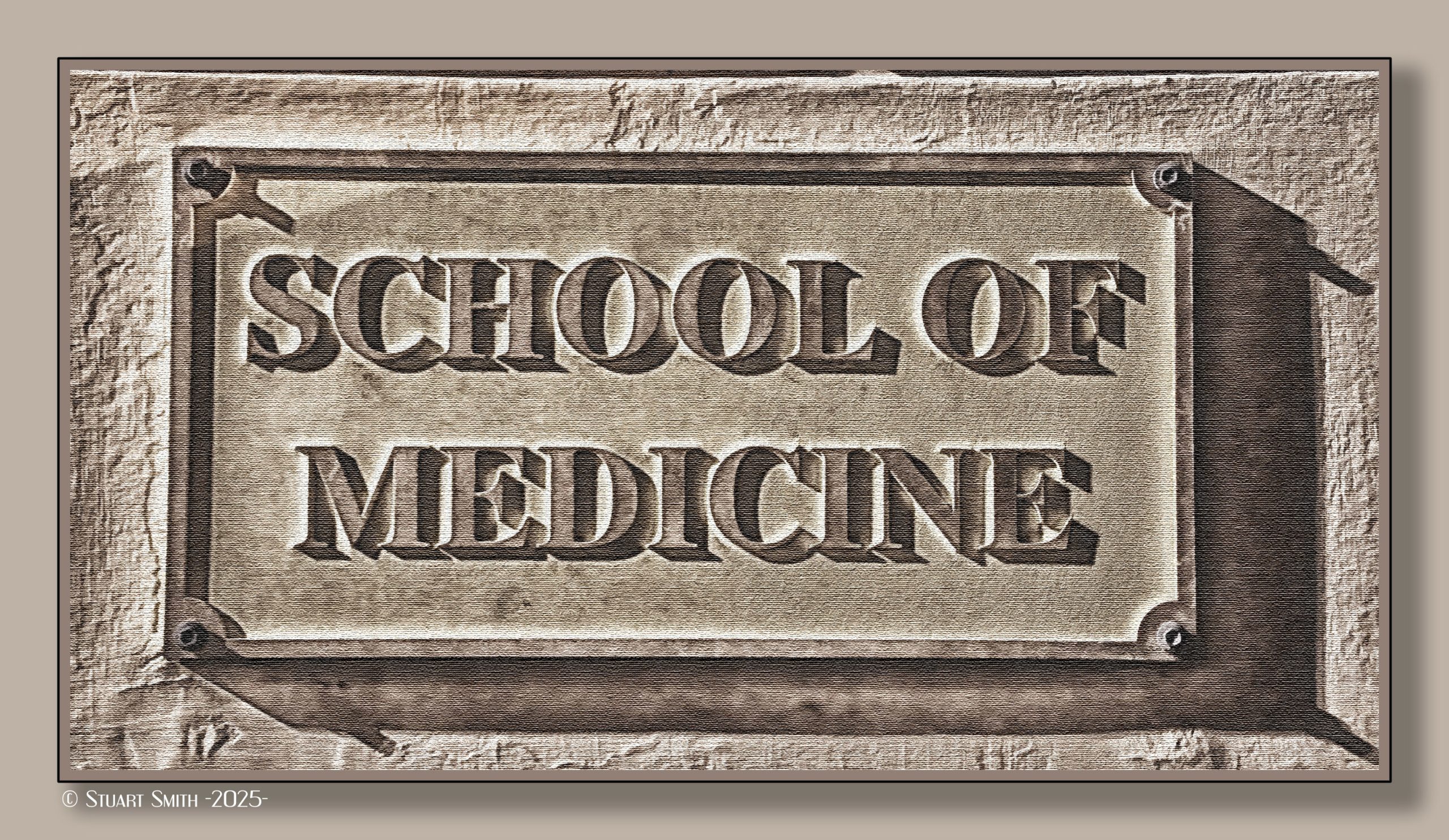
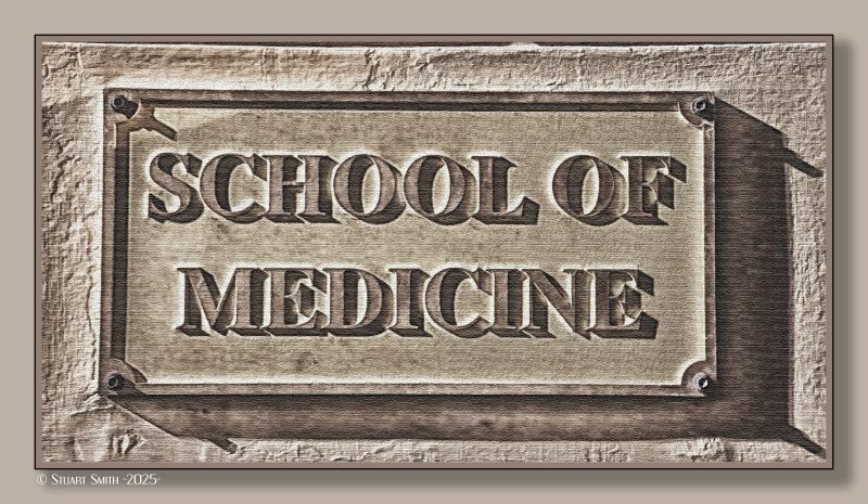 School of Medicine, Notre Dame University, 21 Henry Street, Fremantle, Western Australia
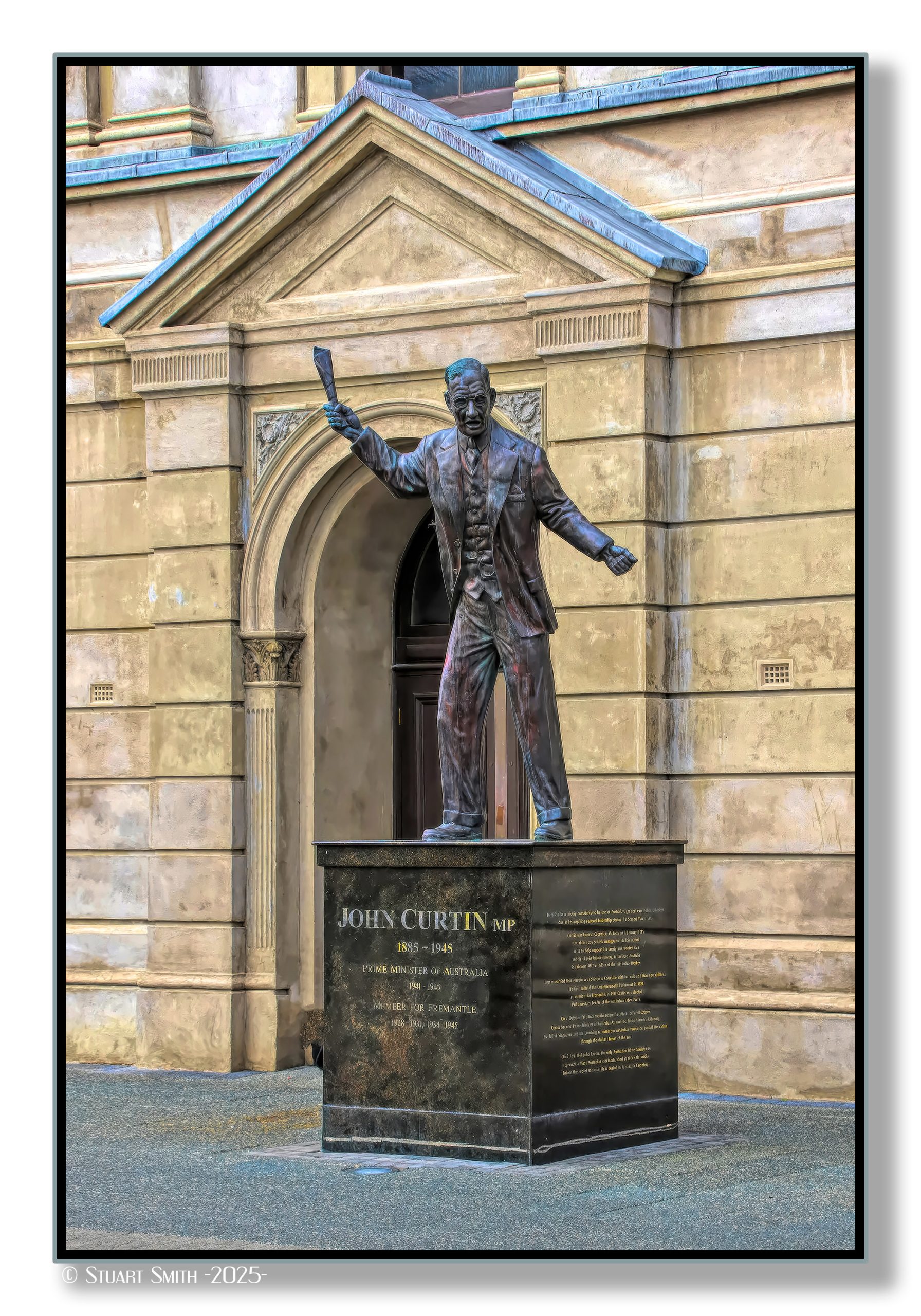
 Statue, John Curtin Place, Kings Square, High Street Mall, Fremantle, Western Australia
Perhaps the most iconic of Australia’s prime ministers, John Curtin is bound to ordinary Australians by his working class roots and trade union advocacy, but most importantly as Australia’s war-time voice. Although Victorian by birth, Curtin made Western Australia his home in 1917 where he became an editor for a union press.
He joined federal parliament in 1928 as the elected Member of Fremantle. He became leader of the Labor Party in 1935 and prime minister in 1941 in the midst of war with Germany and Italy, with troops deployed in fronts in the middle-east and Europe. Weeks after his succession Australia was pulled into a war in the Pacific.
Curtin’s decisions strengthened relations with the United States, as their interests were directly threatened by Japan who had attacked ports in Australian and allied ports around the pacific.
Curtin died in office only weeks before the formal ending of the war in the Pacific. As Western Australia’s first and only prime minister, John Curtin is commemorated at King’s Square in Fremantle.
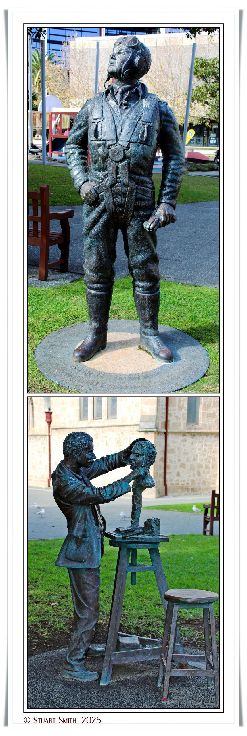
 Statues, Kings Square, Queen Street, Fremantle, Western Australia
Top:
Air Commodore Sir Hughie Idwal Edwards
Bottom:
Pietro Giacomo Porcelli
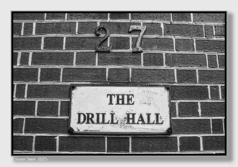
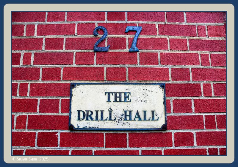 The Drill Hall, 27 Mouat Street, Fremantle, Western Australia
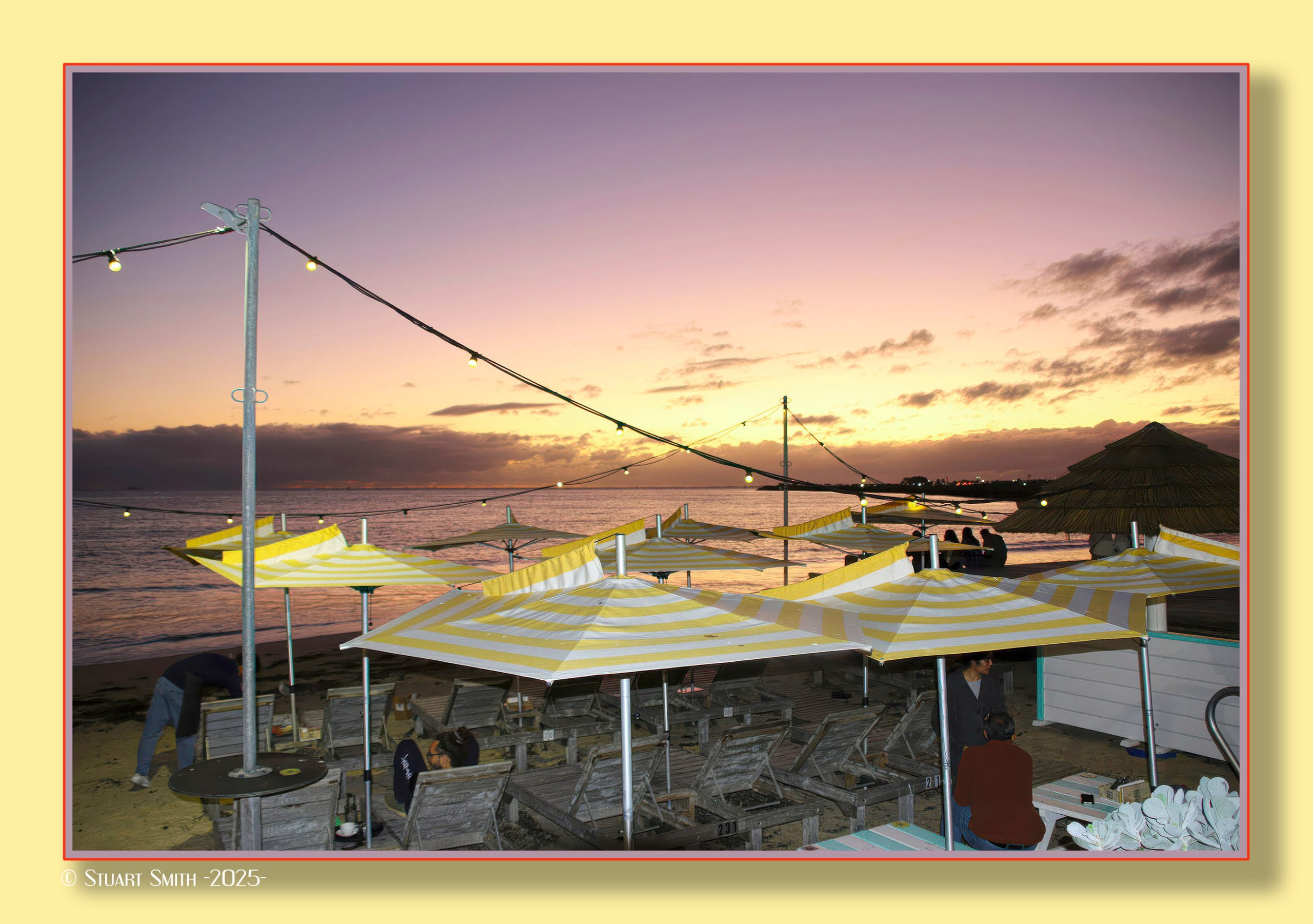
 Sundown, Bathers Beach, Fremantle, Western Australia
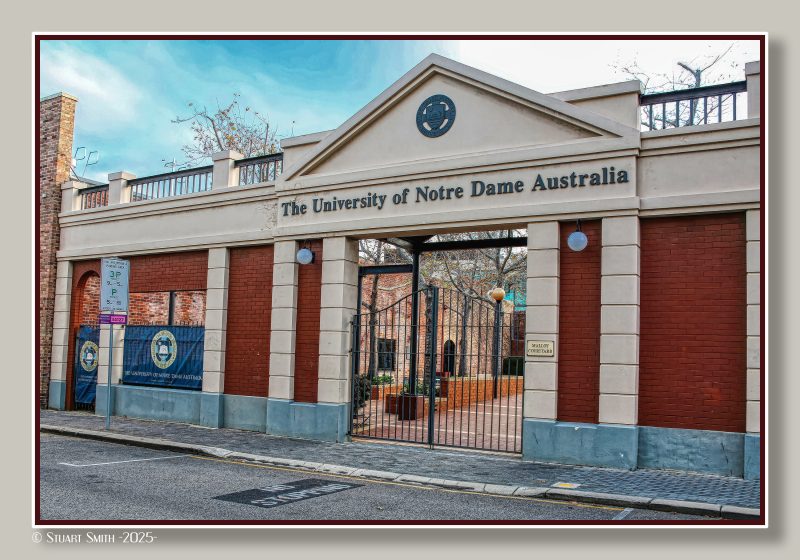 The University of Notre Dame Australia, Malloy Courtyard, Mouat Street, Fremantle, Western Australia
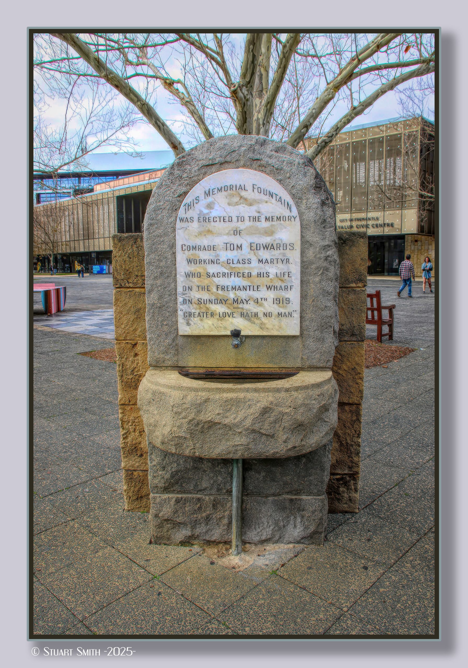
 Tom Edwards Memorial Fountain, Kings Square, Adelaide Street, Fremantle, Western Australia
See Article 1919 Fremantle Wharf Riot
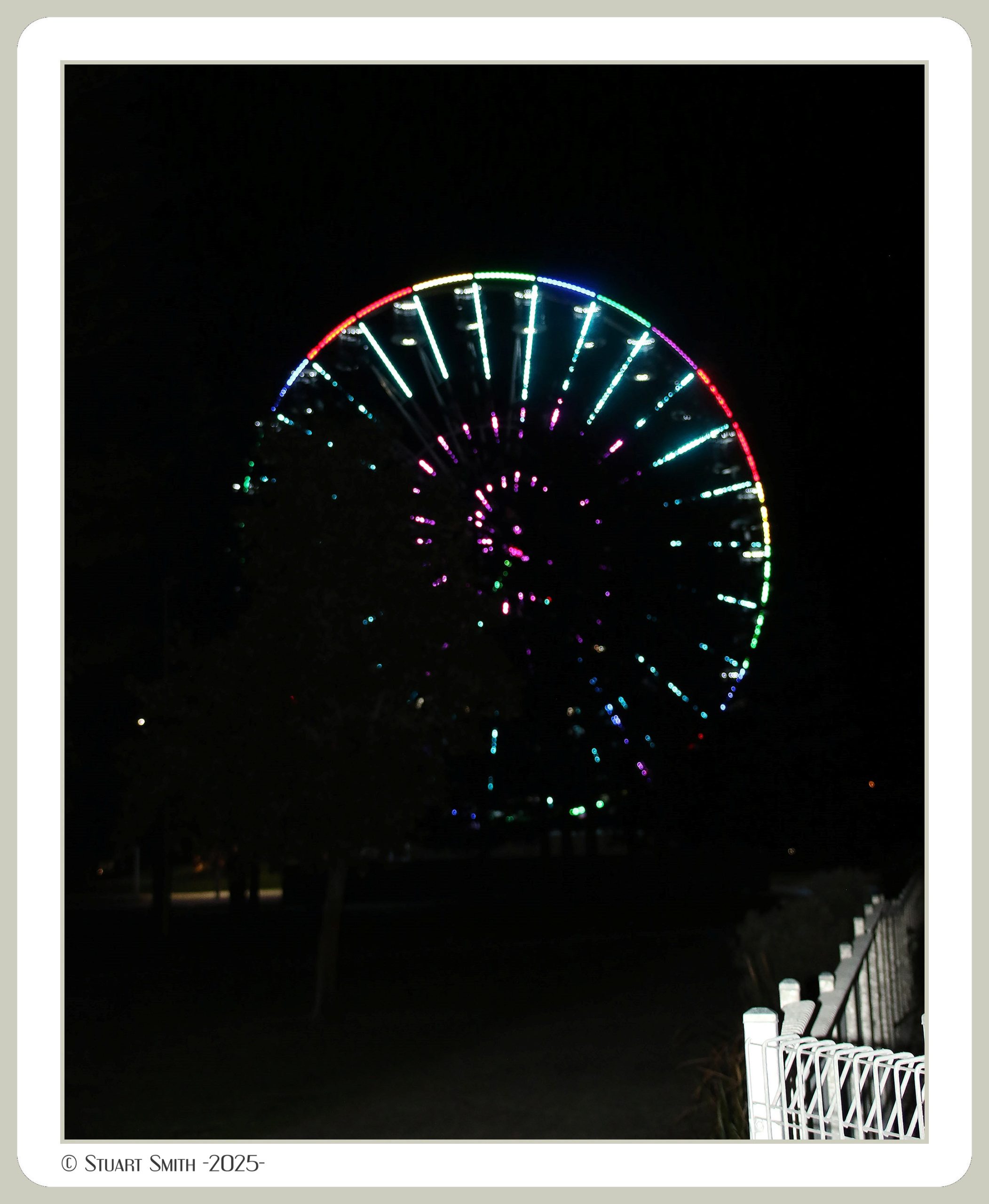
 Tourist Wheel, Esplanade Park, Marine Terrace, Fremantle, Western Australia
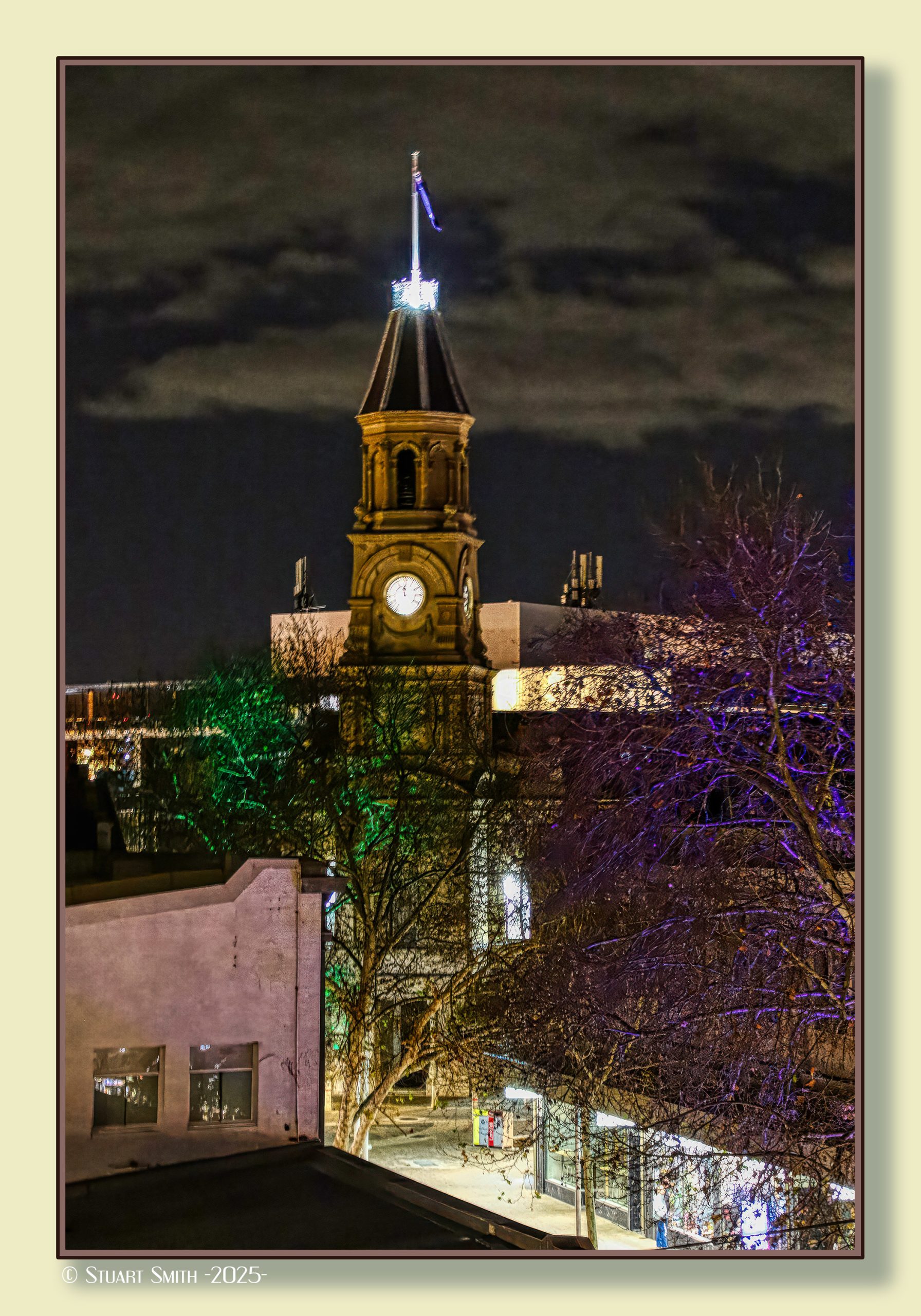
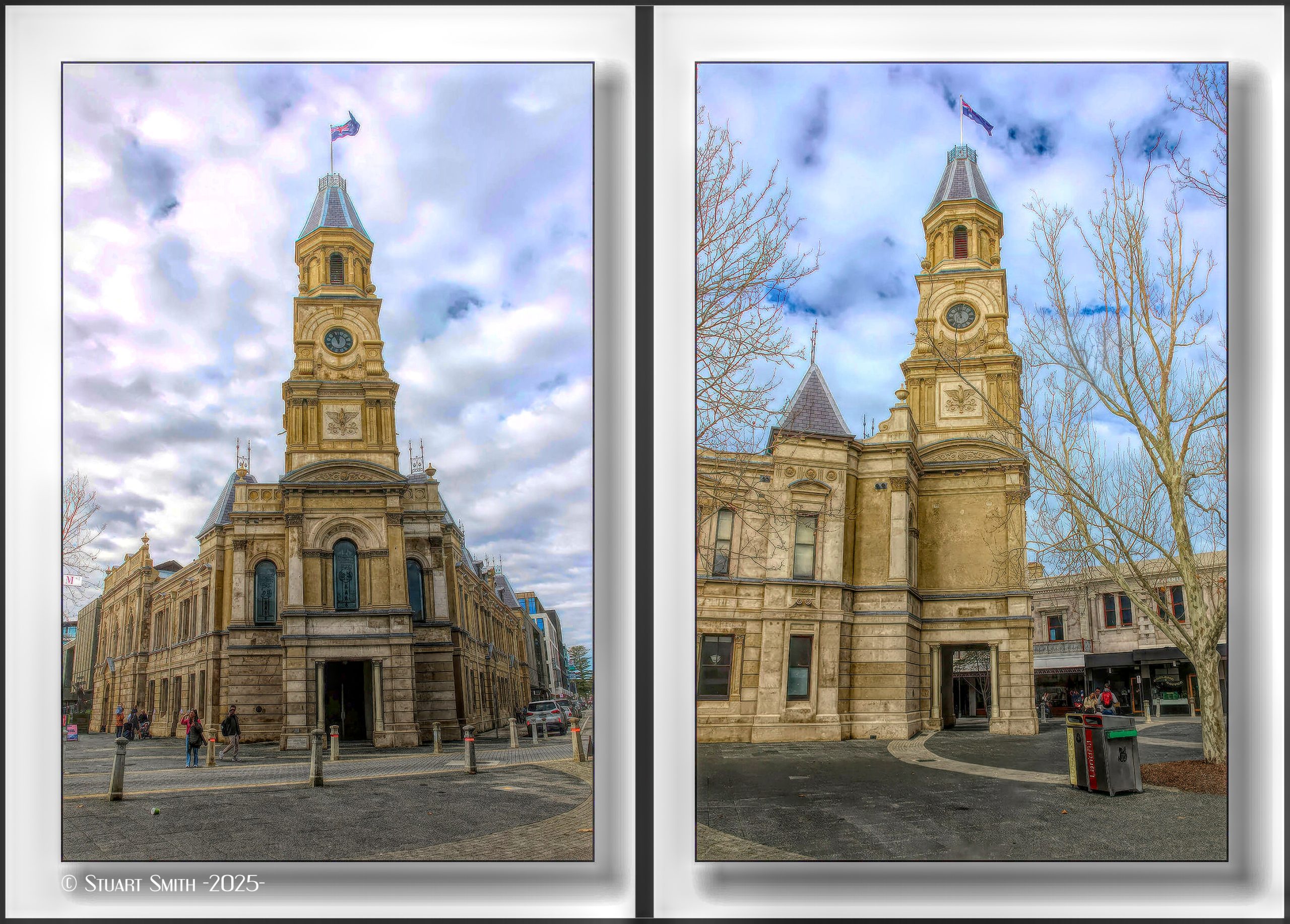
 Town Hall from The National Hotel, Cnr High & Market Streets, Fremantle, Western Australia
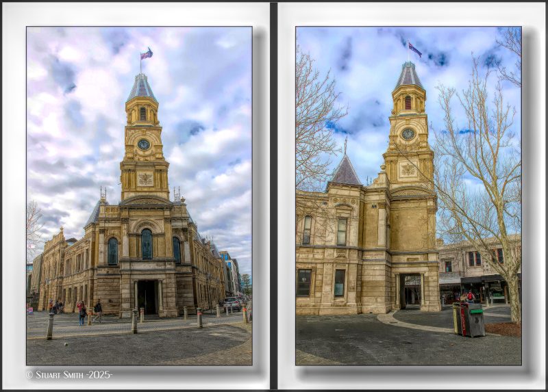 City of Fremantle Town Hall, High Street Mall, Fremantle, Western Australia
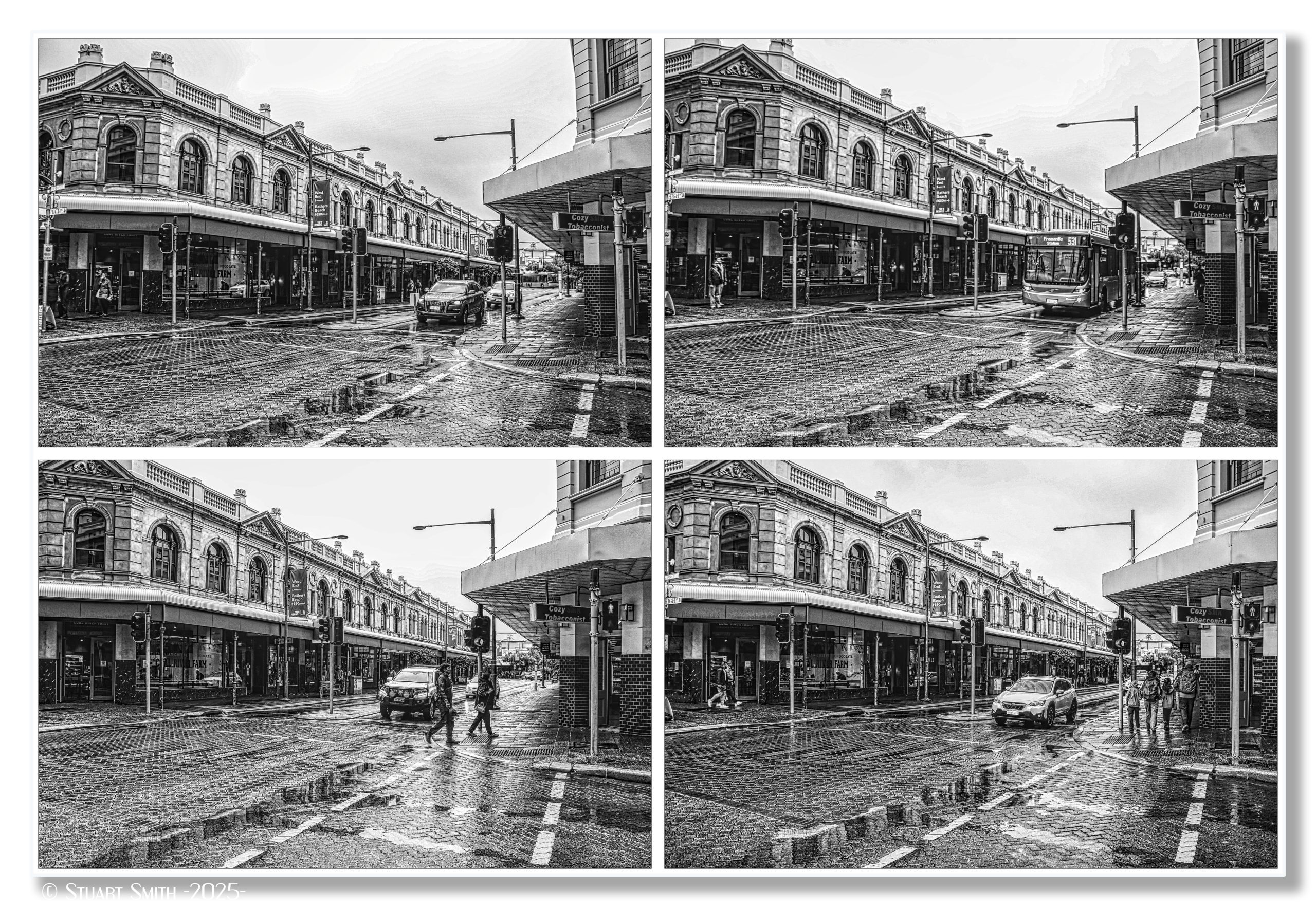
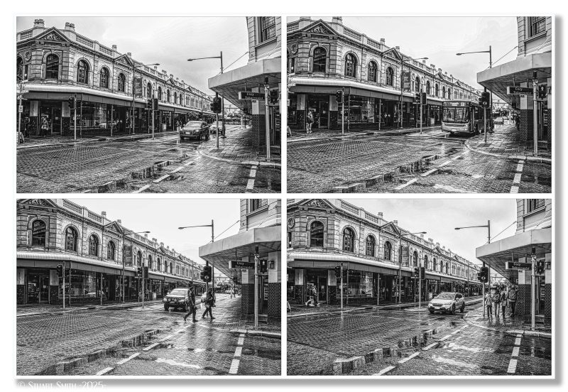 Traffic in the Wet, Cnr High & Market Streets, Fremantle, Western Australia
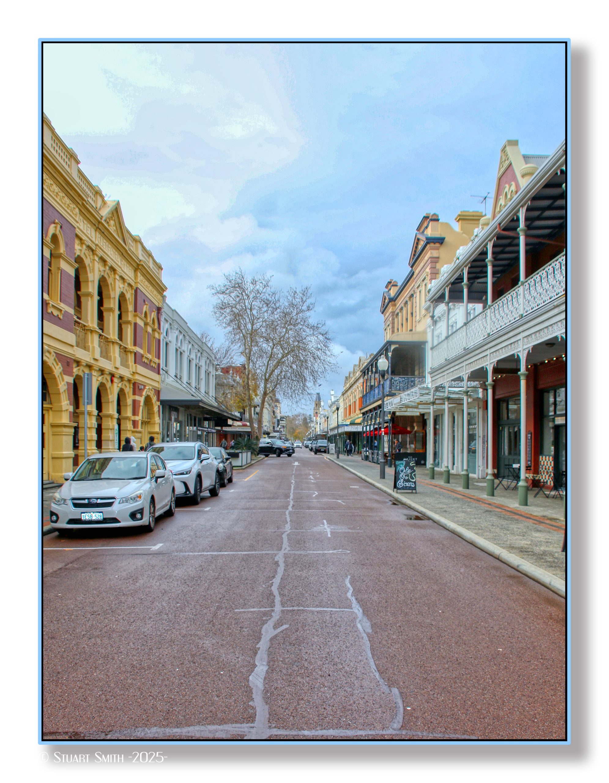
 Market Street, Fremantle, Western Australia
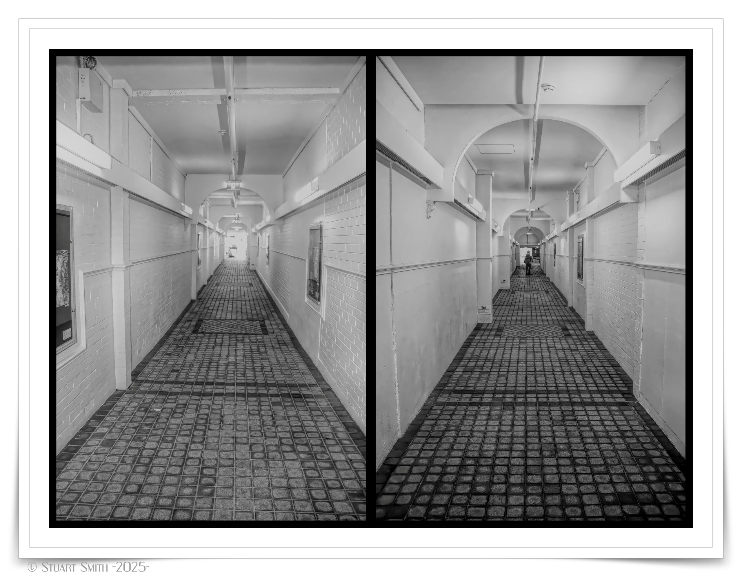
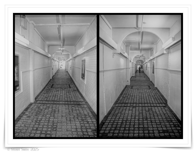 Arcade, Adelaide Street, Fremantle, Western Australia
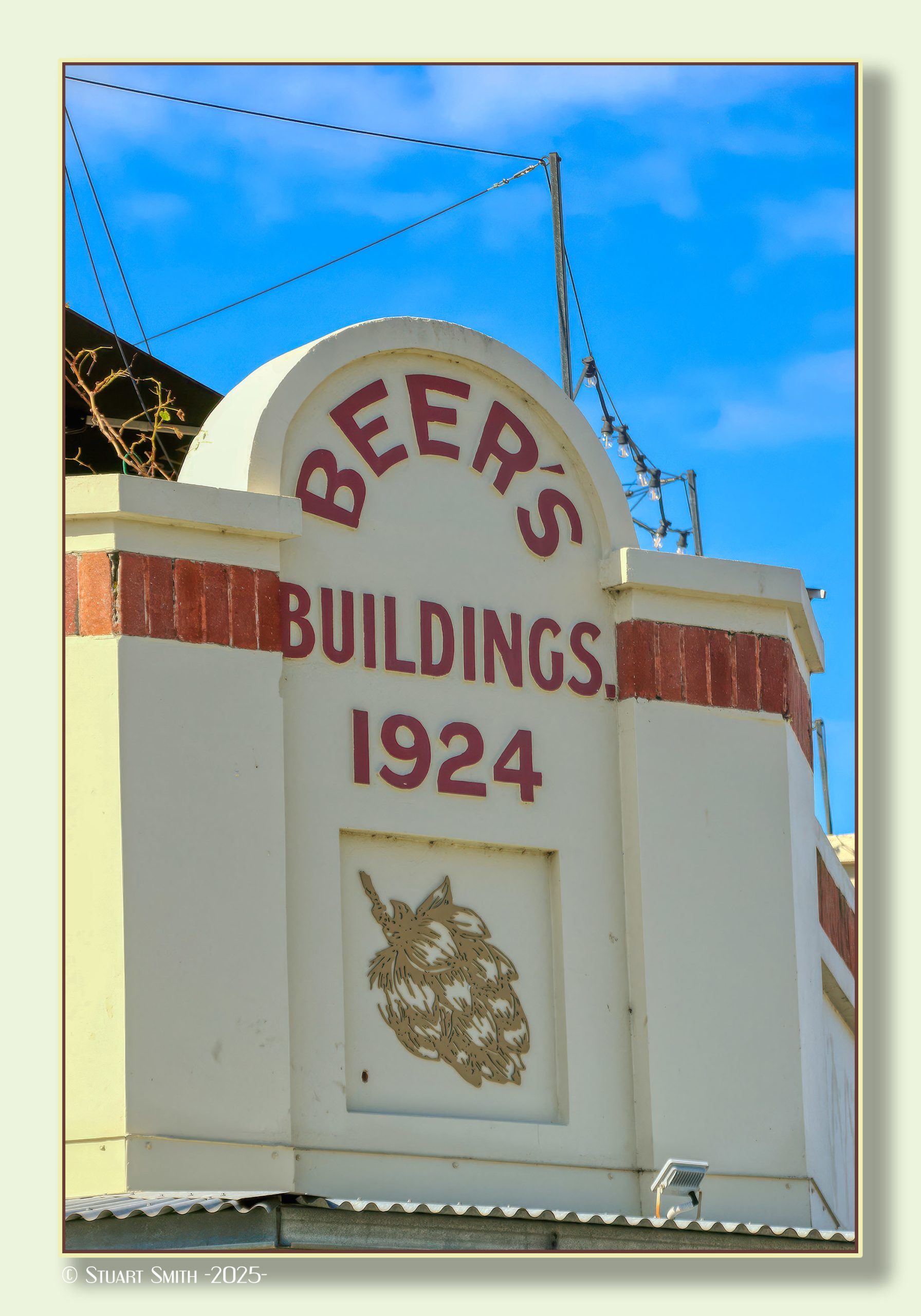
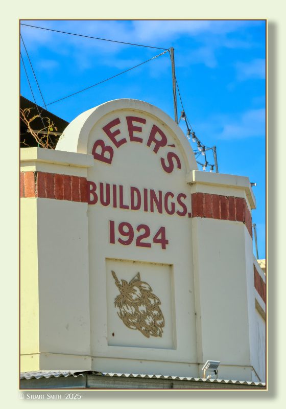 Beer’s Buildings 1924, Cnr Parry Street and South Terrace, Fremantle, Western Australia
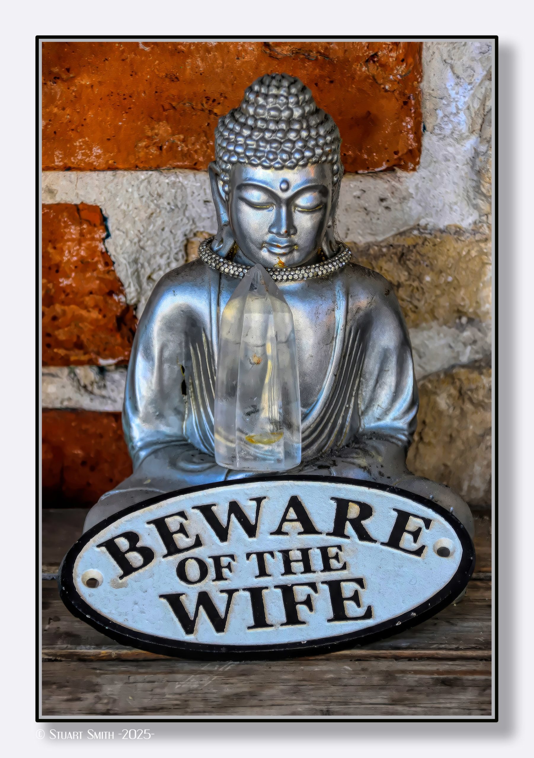
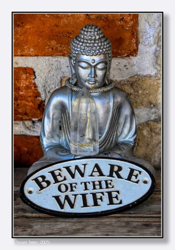 “Beware of the Wife”, Essex Street, Fremantle, Western Australia
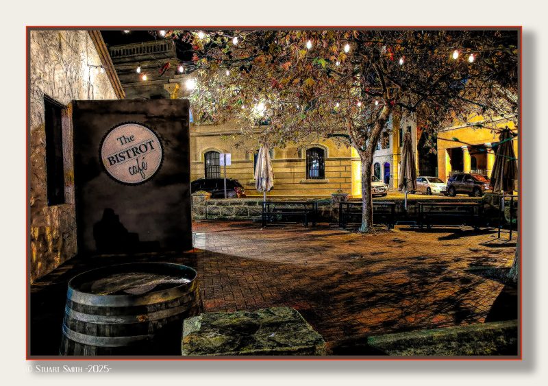
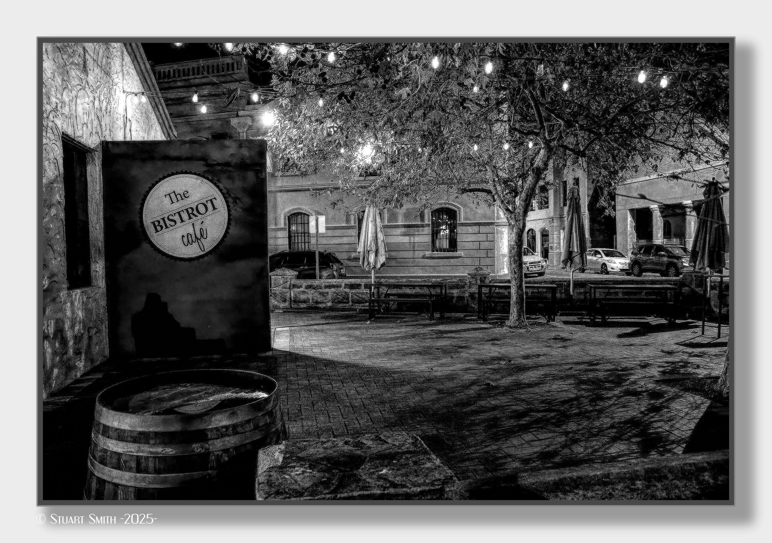
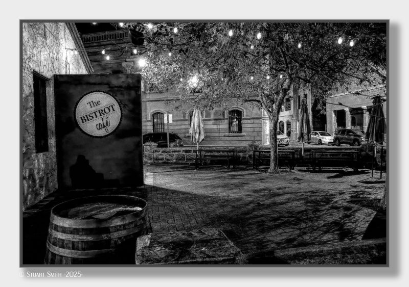 Bistrot Café, Henry Street, Fremantle, Western Australia
 Bon Scott Memorial, Mews Road, Fremantle, Western Australia
Ronald Belford "Bon" Scott (9 July 1946 – 19 February 1980) was an Australian singer who was the second lead vocalist and lyricist of the hard rock band AC/DC from 1974-1980.
 Brass Plates, Fremantle, Western Australia
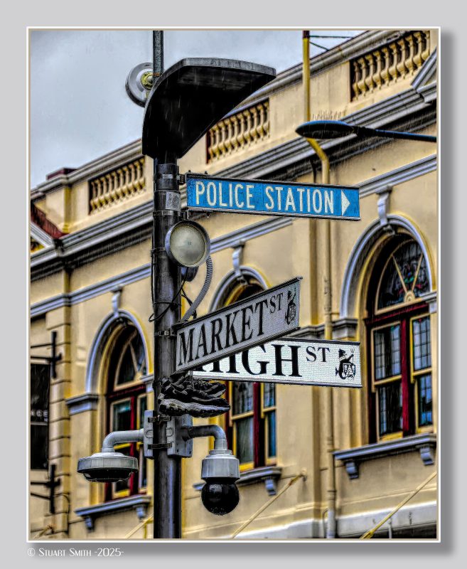 Discarded Shoes on Lamp Post, Cnr High & Market Streets, Fremantle, Western Australia
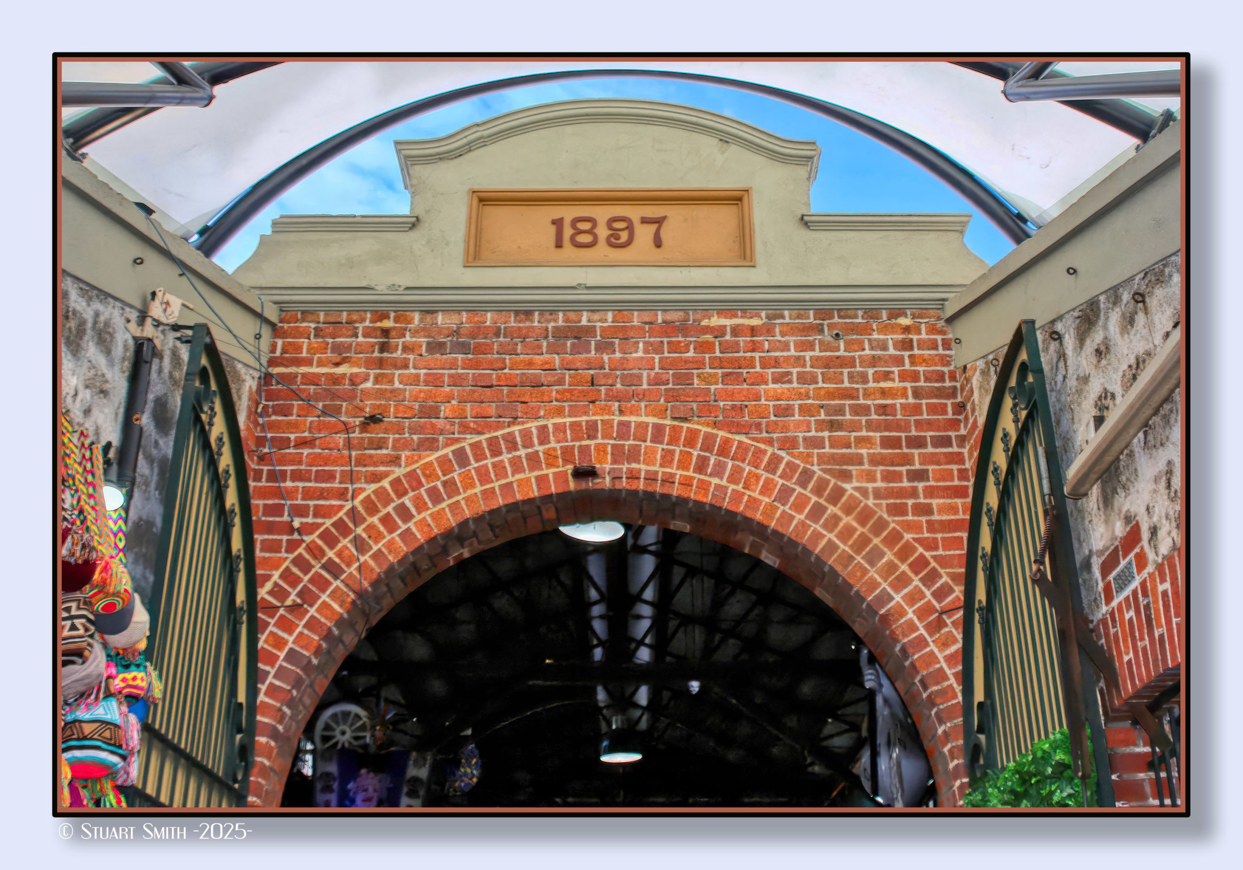
 Entrance Arch, Fremantle Markets, Henderson Street, Fremantle, Western Australia
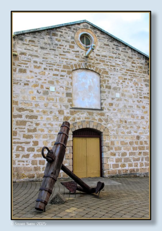
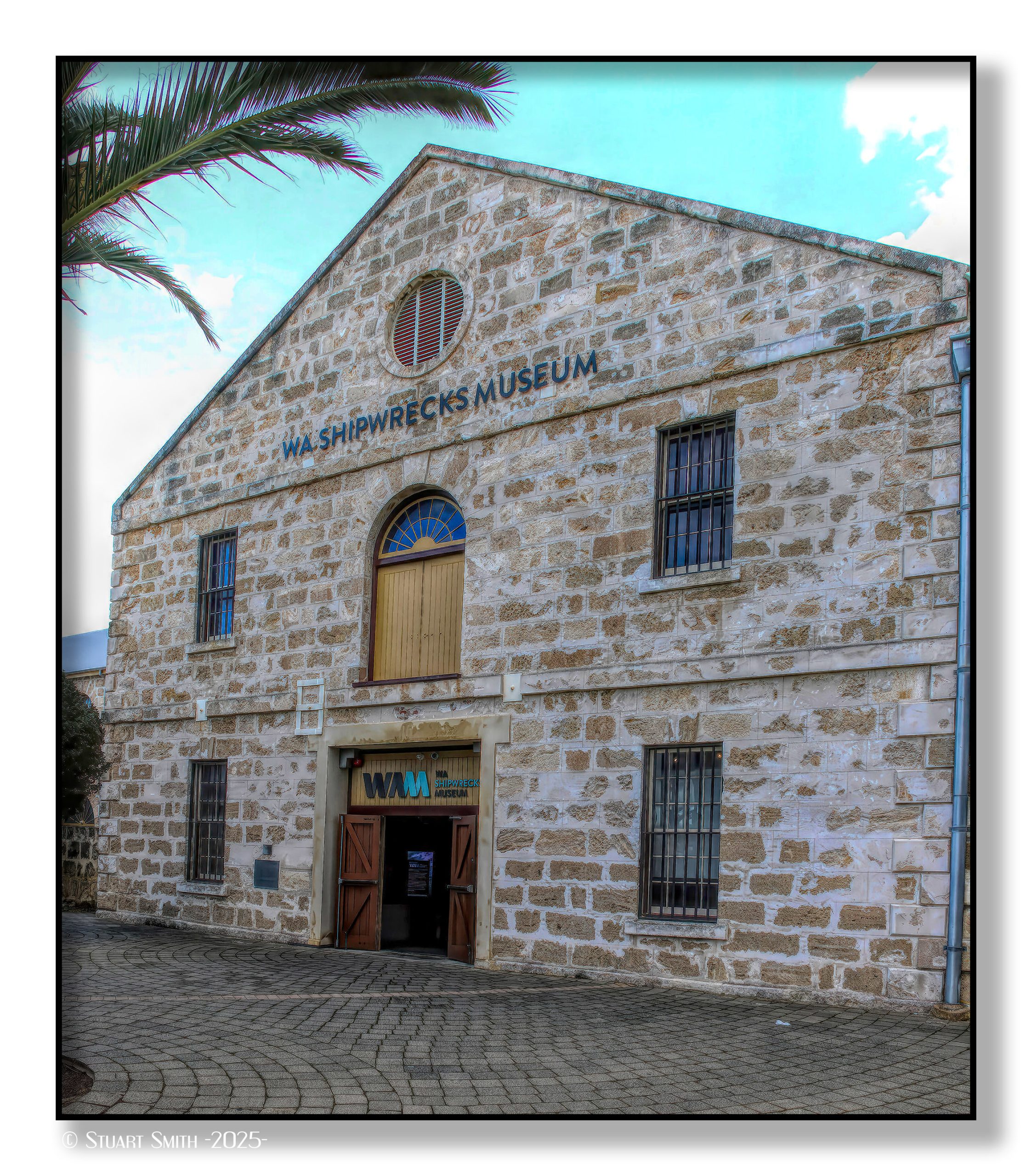
 Façade, WA Shipwrecks Museum, Cliff Street, Fremantle, Western Australia
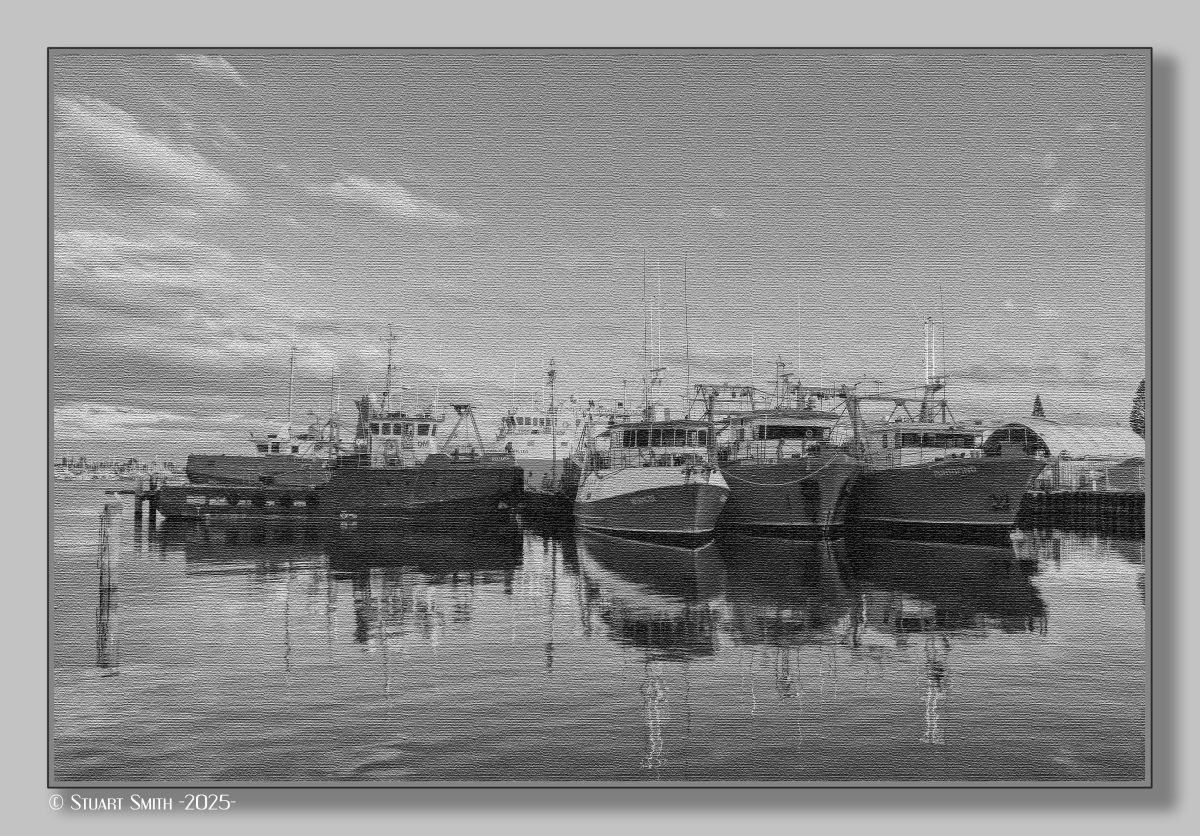
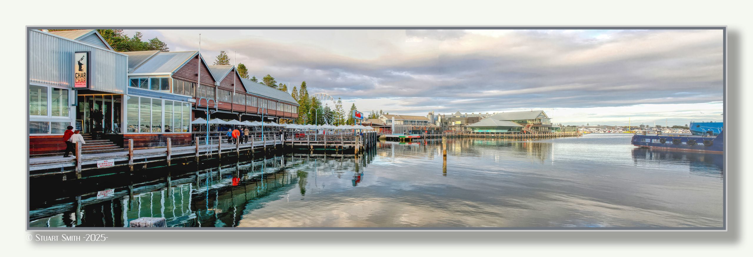
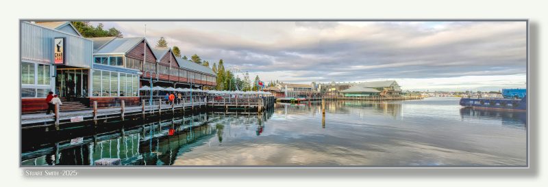 Fishing Boat Harbour, Fremantle, Western Australia
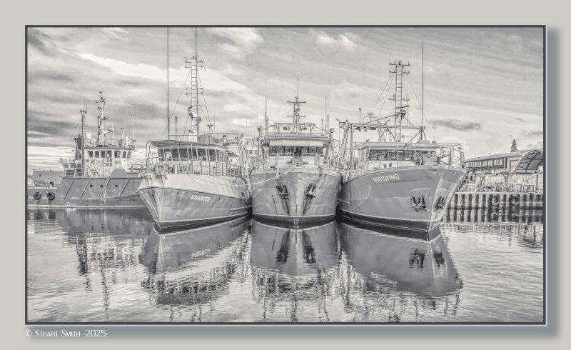
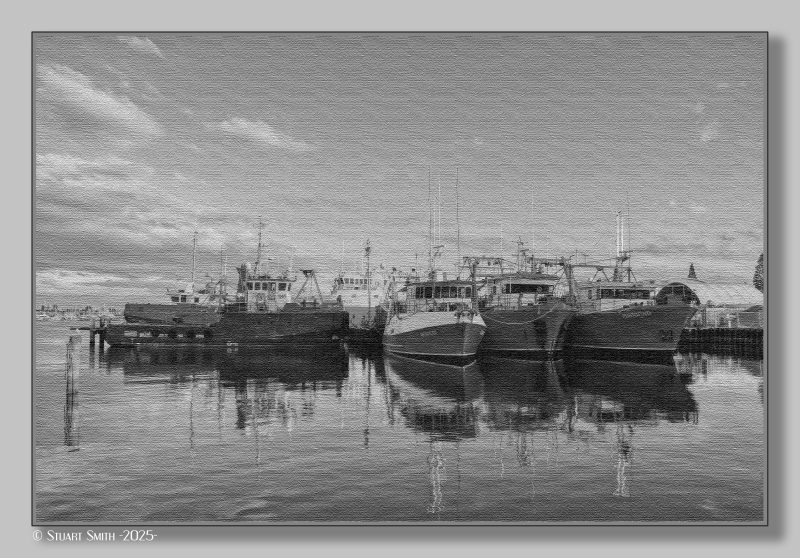
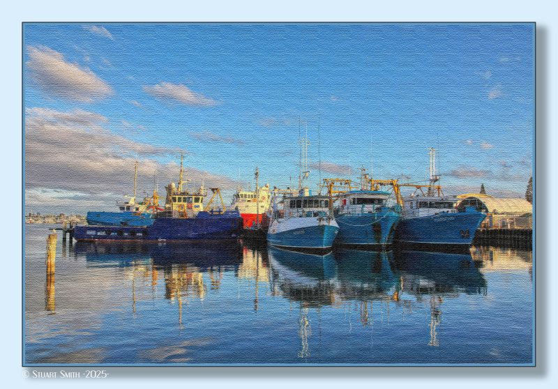
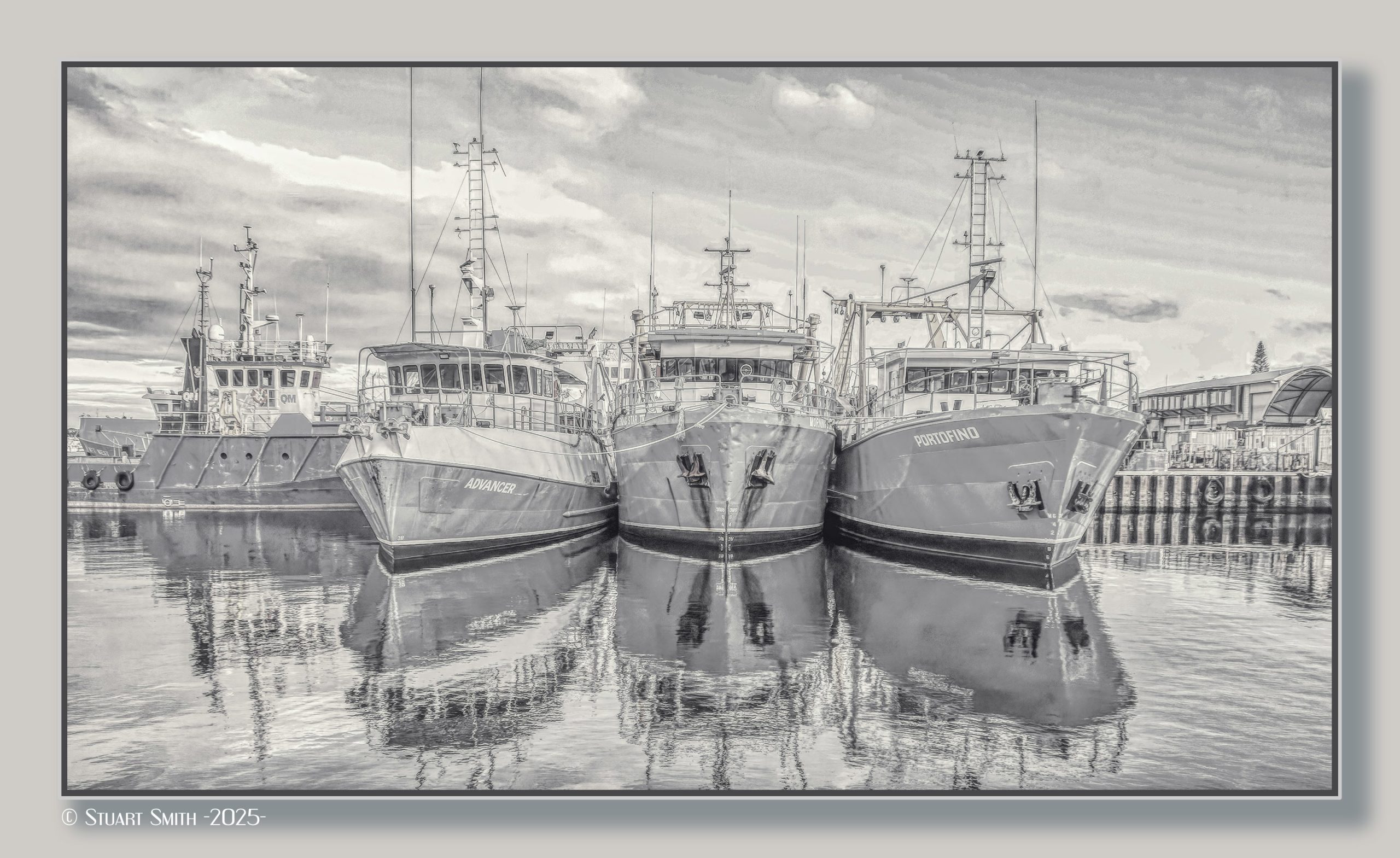
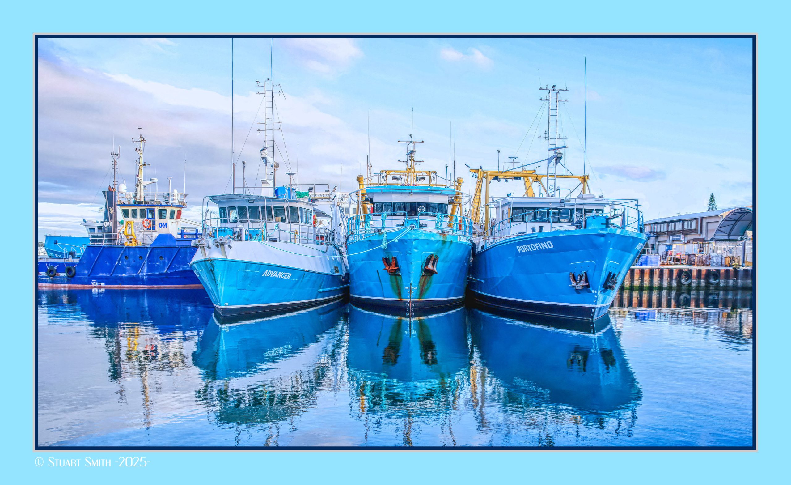
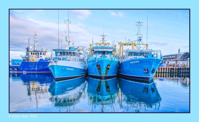 Fishing Fleet, Fishing Boat Harbour, Fremantle, Western Australia
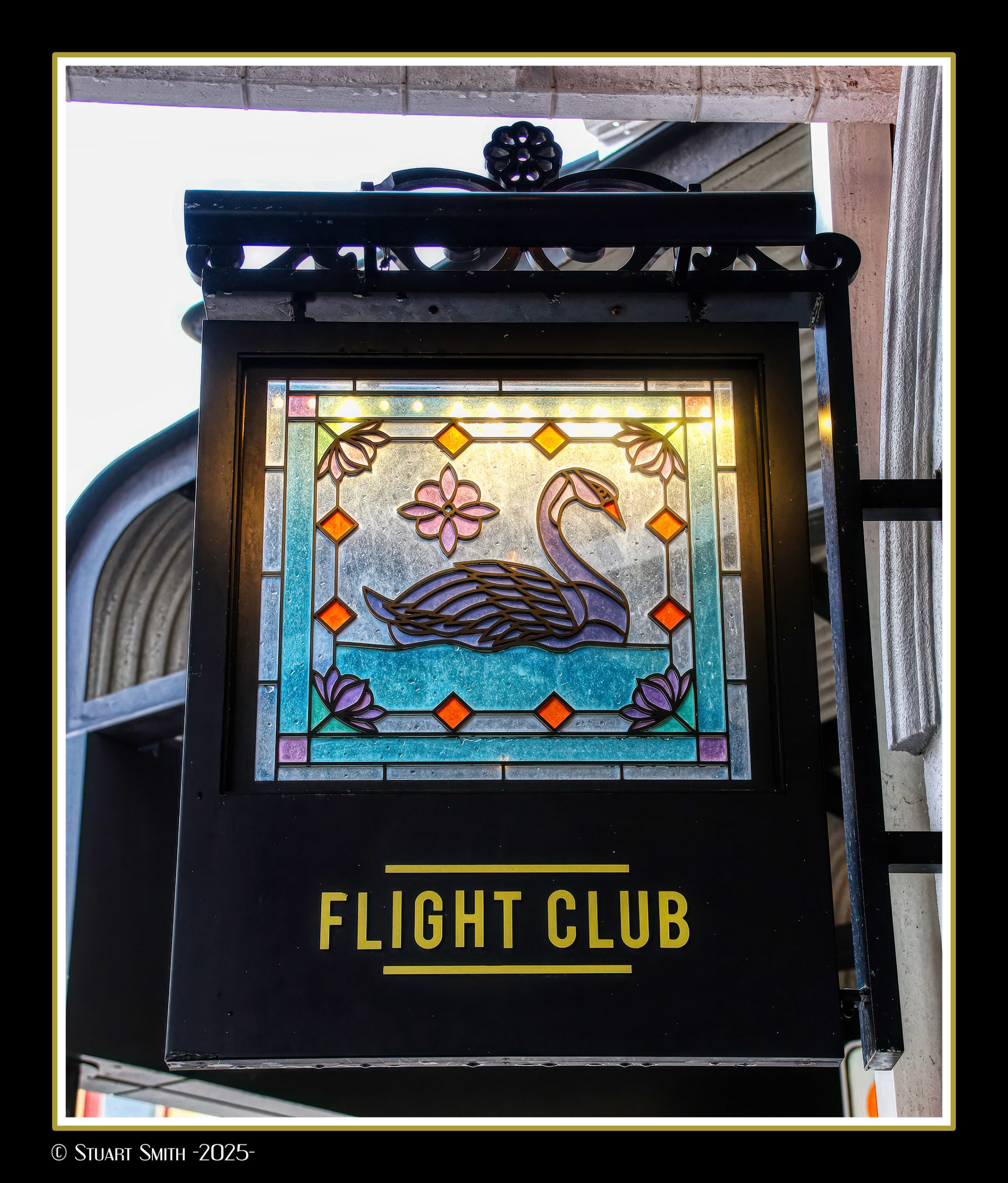
 Flight Club Sign, South Terrace, Fremantle, Western Australia
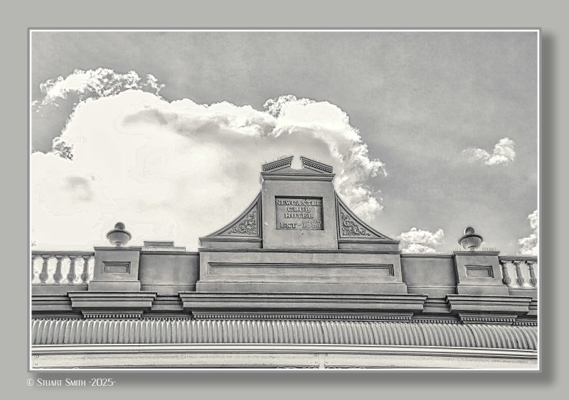 Former Newcastle Club Hotel, South Terrace, Fremantle, Western Australia
aka The Newport and now The Flight Club
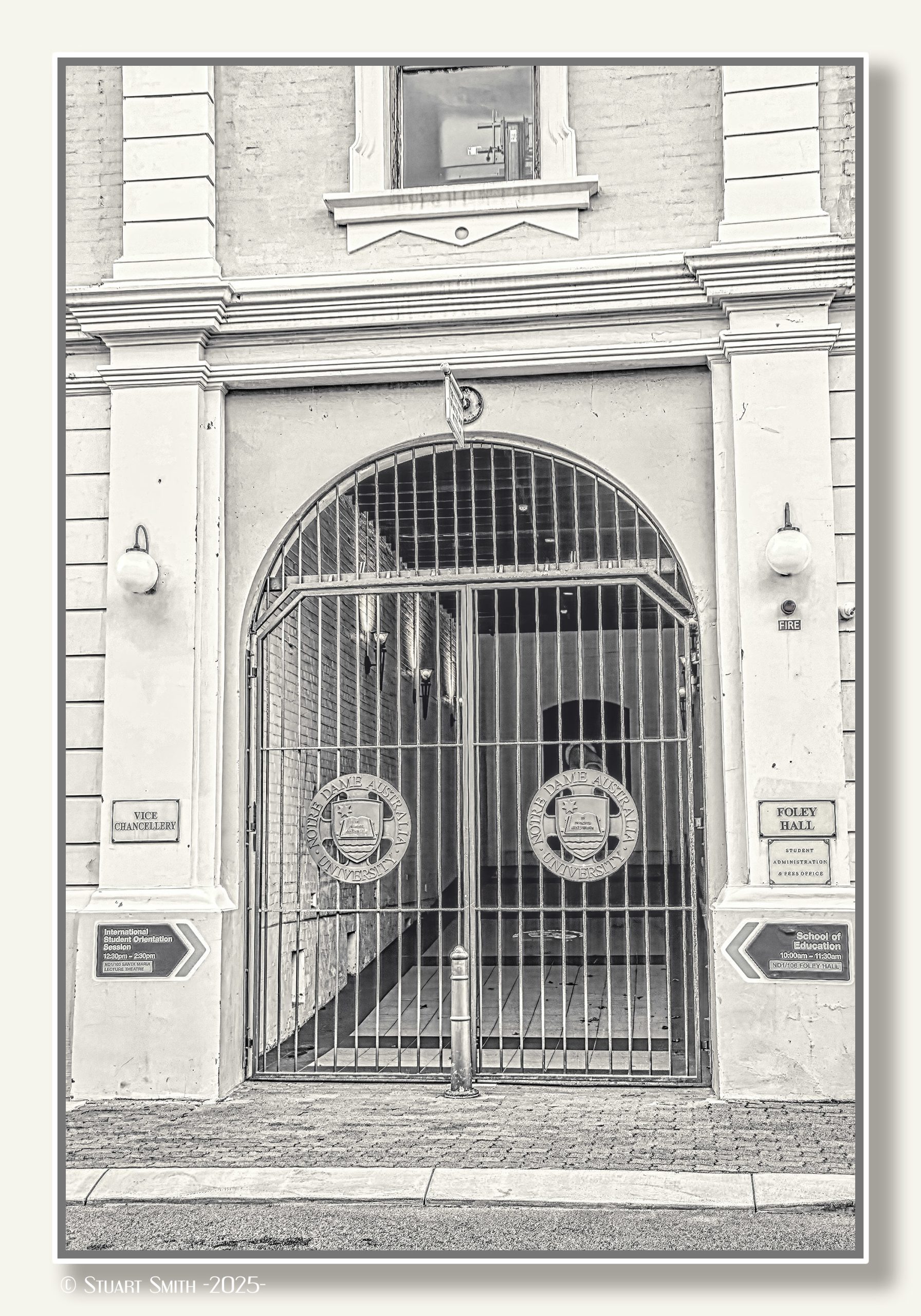
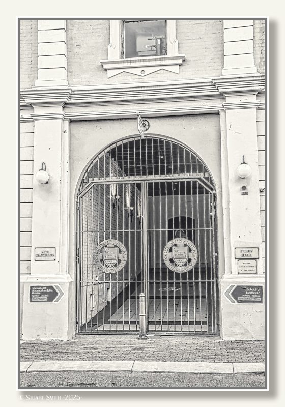 Foley Hall Gates, Mouat Street, Fremantle, Western Australia
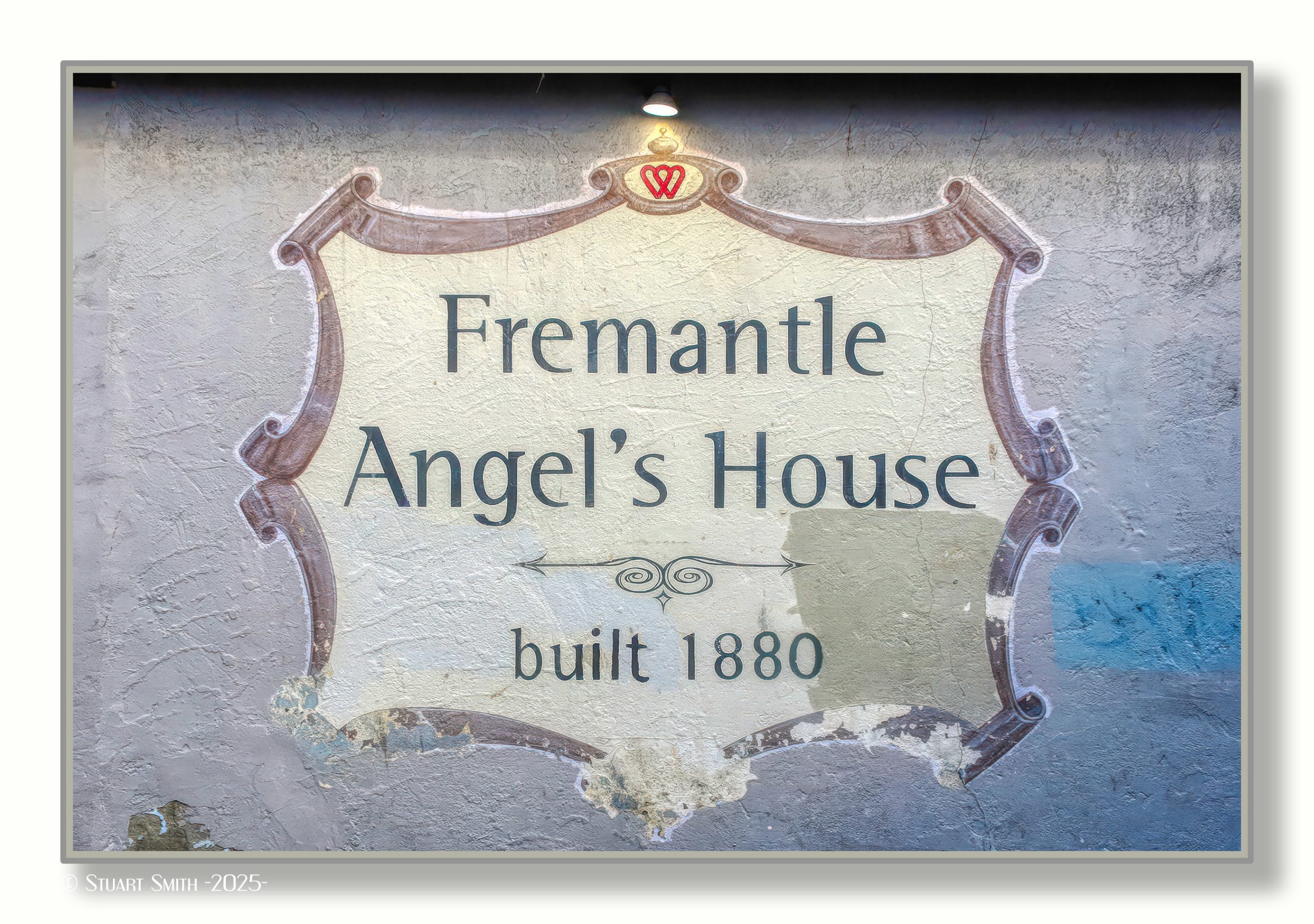
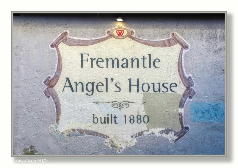 Fremantle Angel’s House, Cnr Essex Street & Essex Lane, Fremantle, Western Australia
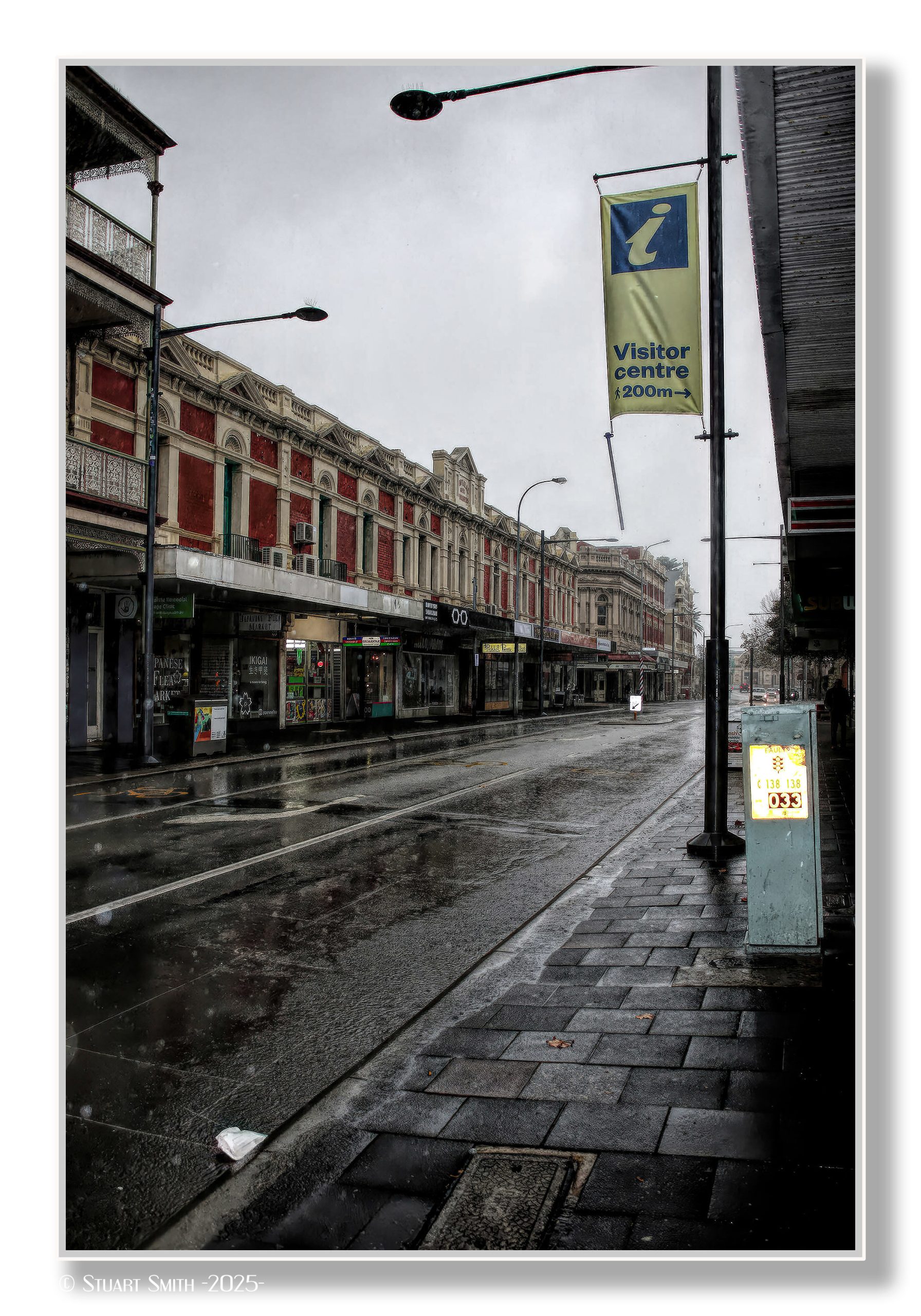
 High Street, Fremantle, Western Australia
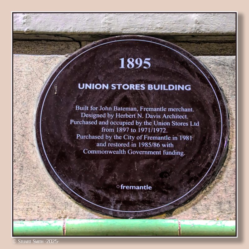 Historical Marker, Union Stores Building, Cnr High & Henry Streets, Fremantle, Western Australia
The building is now occupied by "New Edition Bookshop".
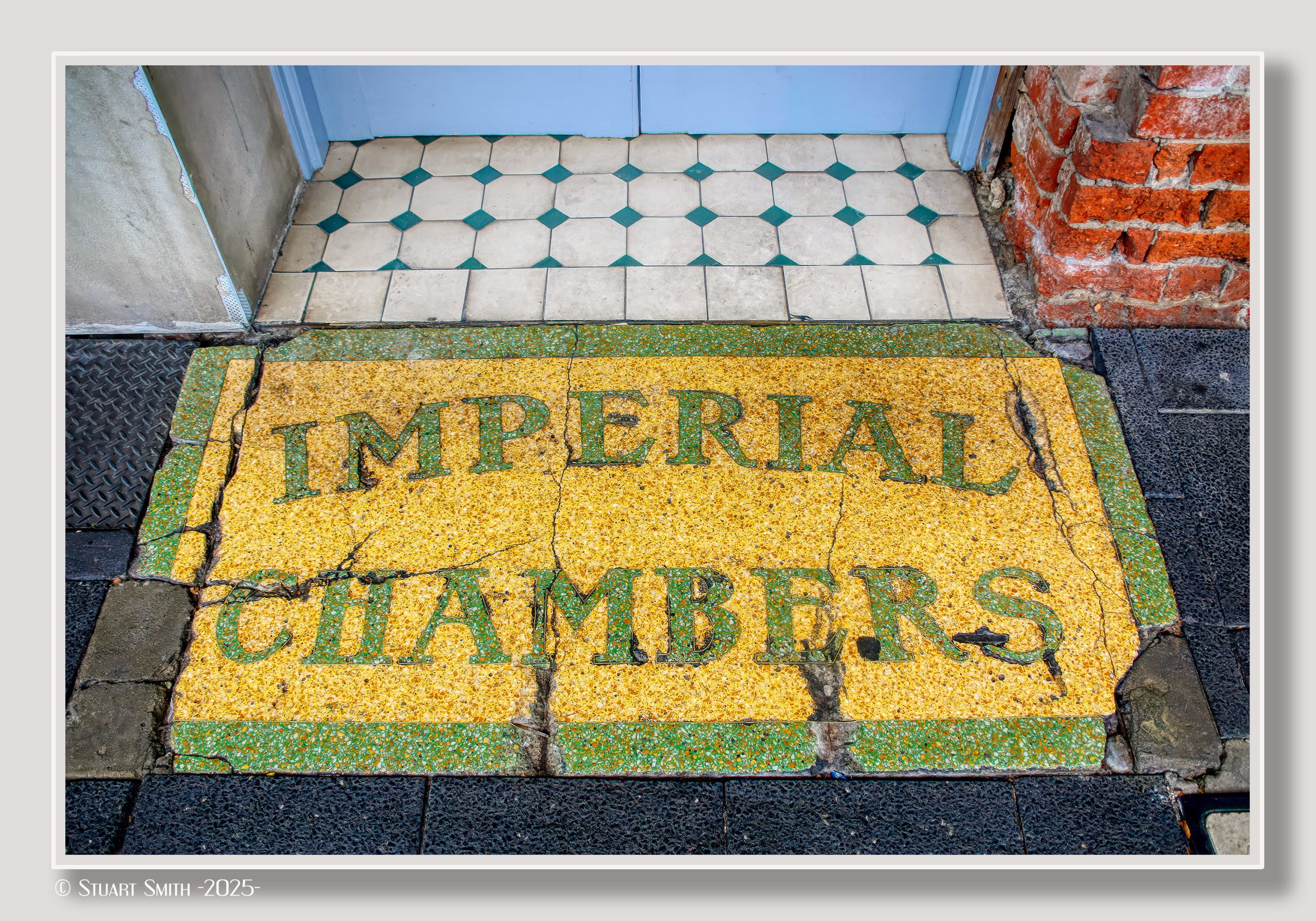
 “Imperial Chambers”, Market Street, Fremantle, Western Australia
See in situ
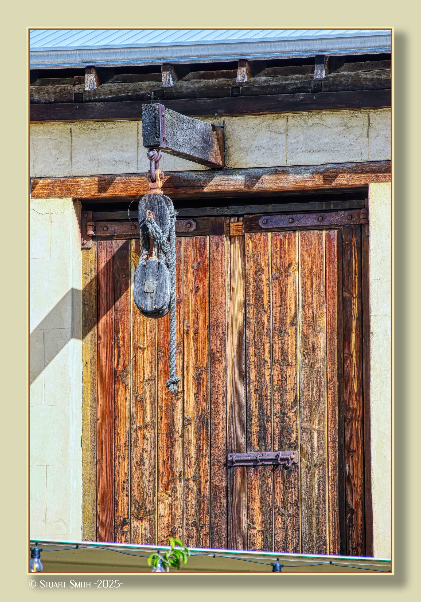
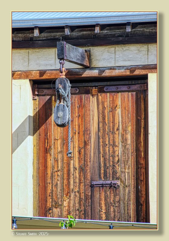 Loading Door, Norfolk Hotel, Cnr Norfolk Street and South Terrace, Fremantle, Western Australia
The Norfolk Hotel is located on the corner of South Terrace and Norfolk Street in Fremantle, Western Australia. The stone built hotel was originally constructed in 1887 before the 1893 Kalgoorlie gold rush, for George Alfred Davies, a vintner, local councillor and Mayor of Fremantle. For most of its life it was known as the Oddfellows Hotel; it was renamed when it was substantially renovated in 1985.

Original Construction
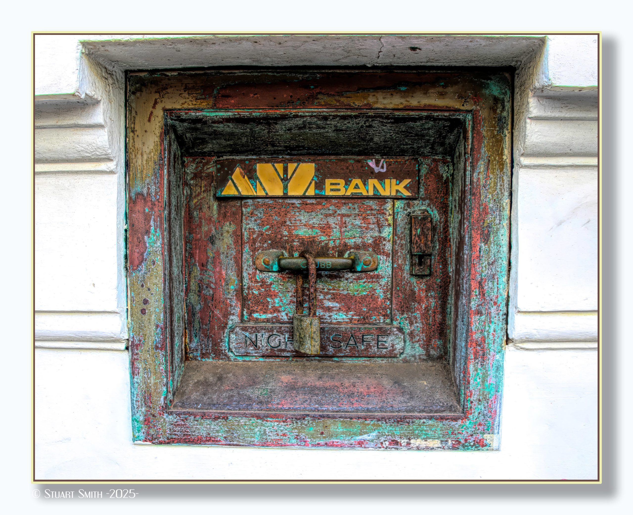
 Night Safe, Former ANZ Bank Premises, High Street, Fremantle, Western Australia
Once used by business customers to lodge their takings outside of banking hours
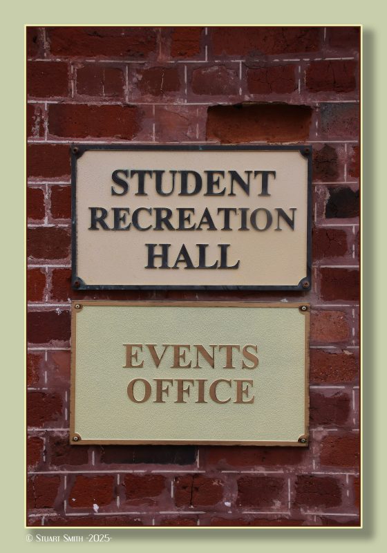
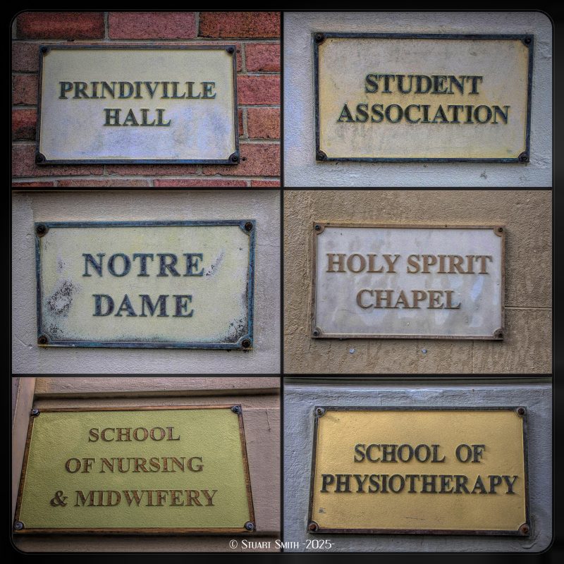 Notre Dame University, Mouat Street, Fremantle, Western Australia
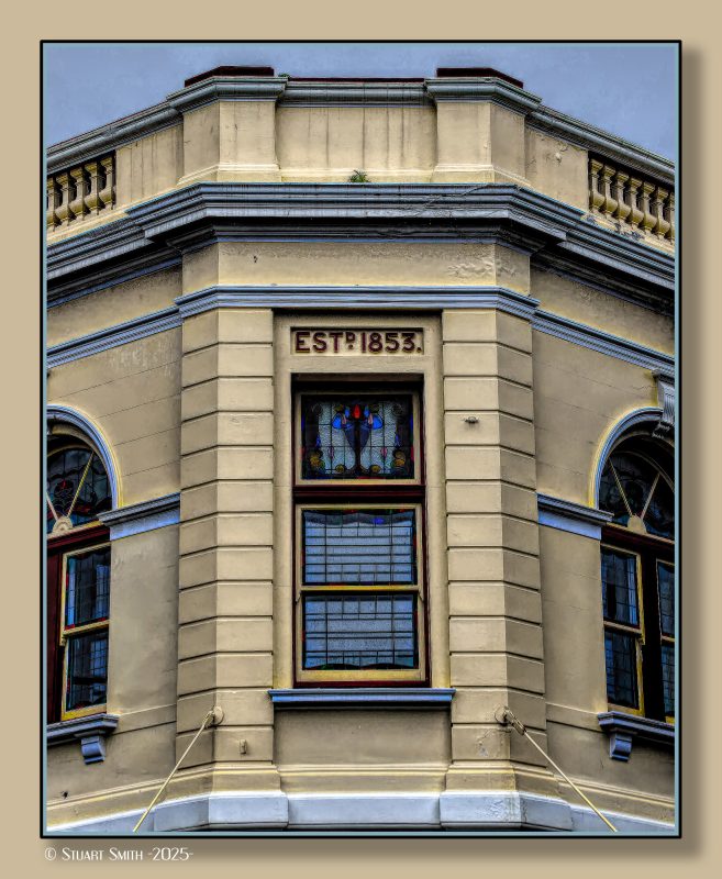 Heritage Building, Cnr High & Market Streets, Fremantle, Western Australia
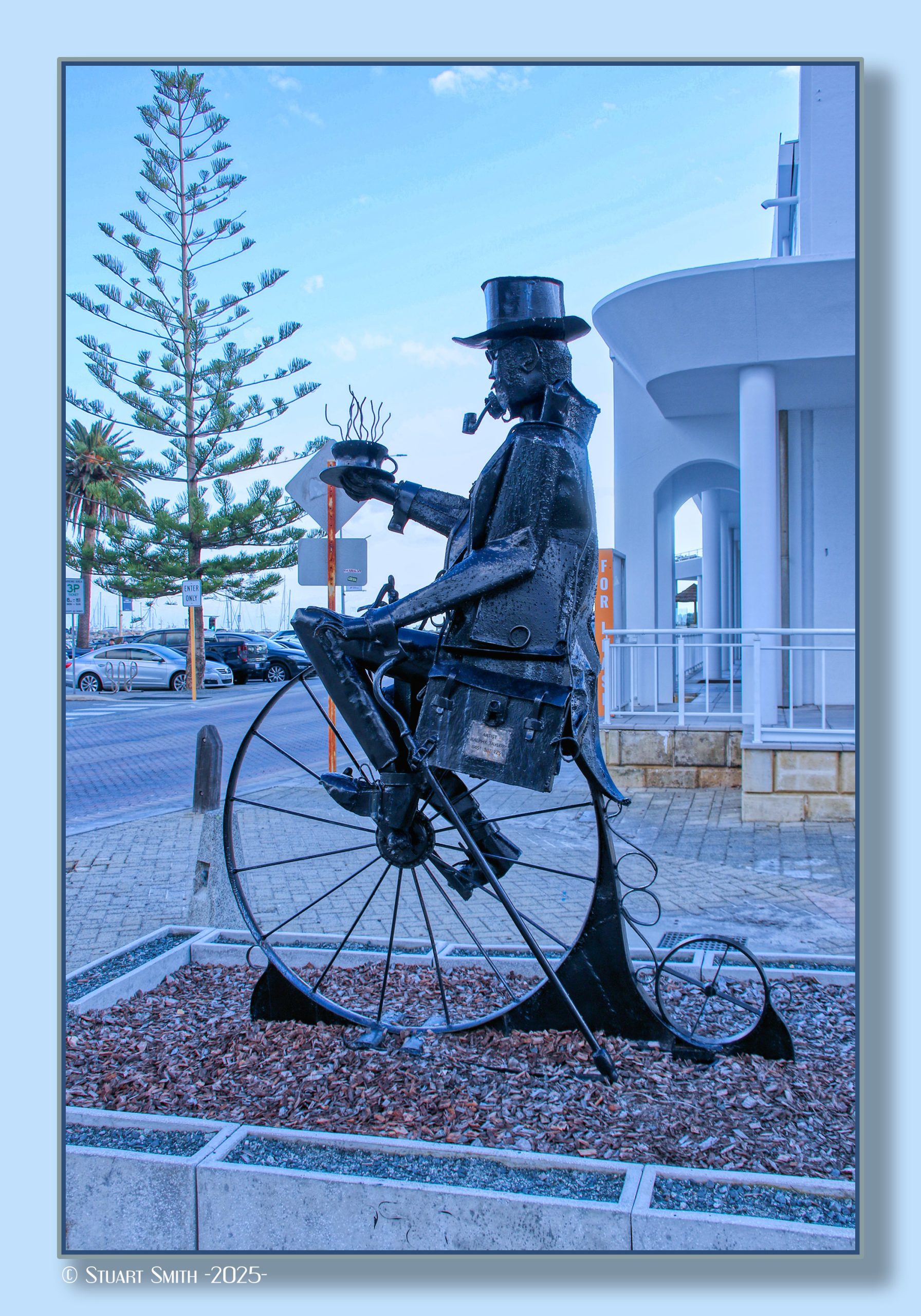
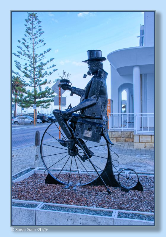 Penny Farthing Sculpture, Mews Road, Fremantle, Western Australia
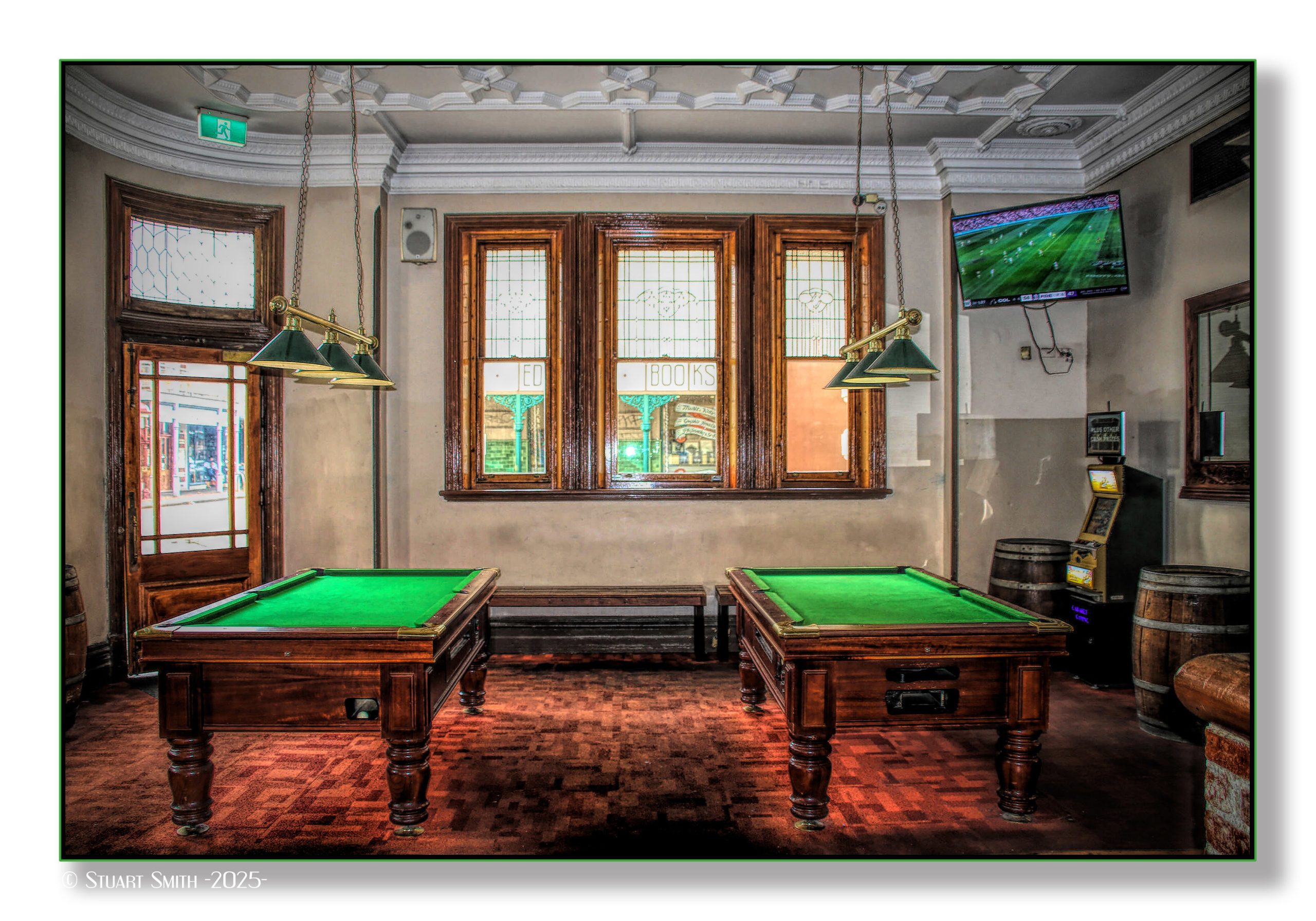
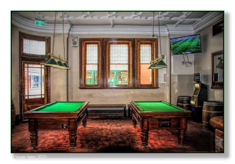 Pool Tables, Bar Orient, Cnr High & Henry Streets, Fremantle, Western Australia
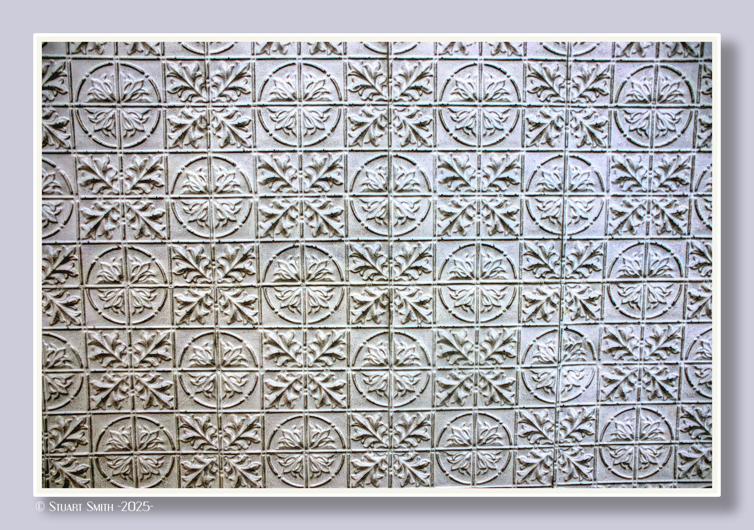
 Pressed Tin Ceiling, High Street, Fremantle, Western Australia
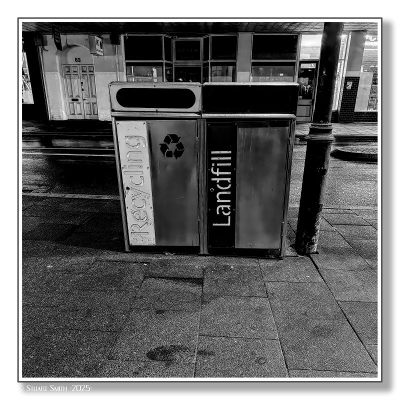 Recycle or Landfill, Market Street, Fremantle, Western Australia
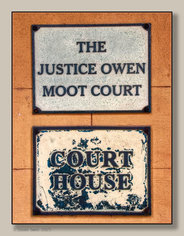 Heritage Signs, Court House, Marine Terrace, Fremantle, Western Australia
 “Absorbed by Light”, Newman Court, Fremantle, Western Australia
Created to encourage reflection on society's increasing reliance on technology, depicting three figures engrossed in what appear to be smartphones. - BRITISH artist Gali May Lucas
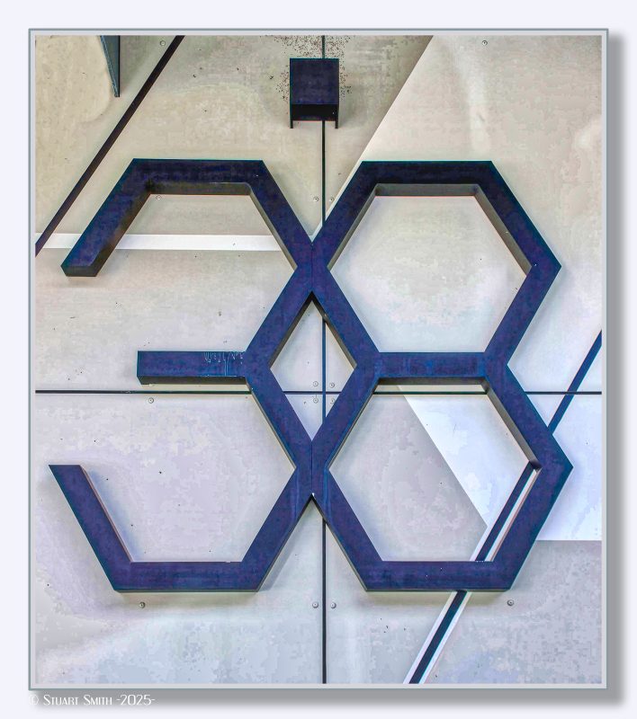 38 Adelaide Street, Fremantle, Western Australia
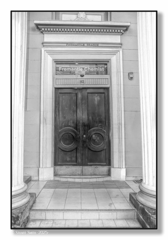 82 High Street, Fremantle, Western Australia
Now used by a chemist, this building was formerly occupied by the Commonwealth Bank of Australia.
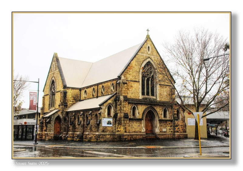 Wesley Uniting Church, Cnr Market & Cantonment Streets, Fremantle, Western Australia [c.1888]
 Under the Verandah, Market Street, Fremantle, Western Australia
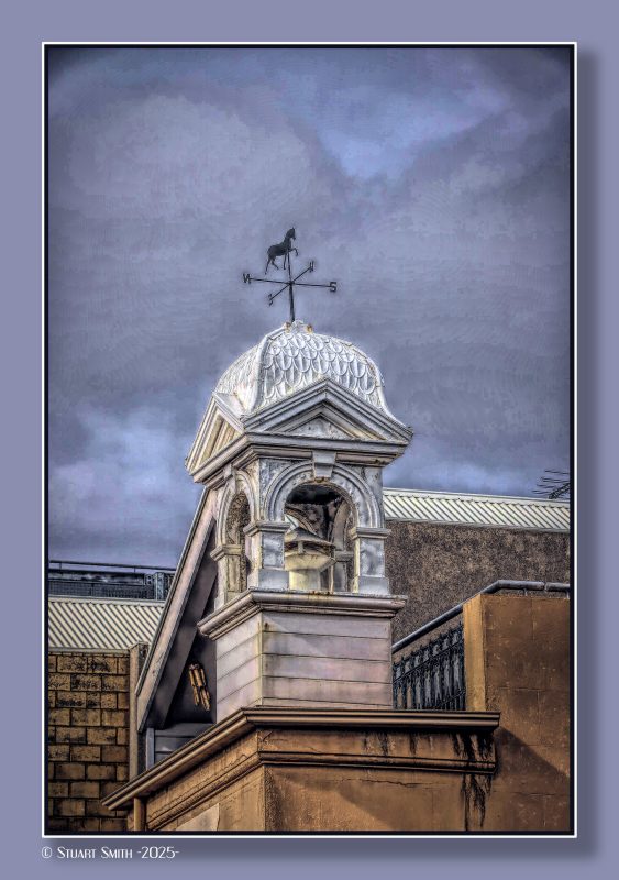 Turret, Cliff Street, Fremantle, Western Australia

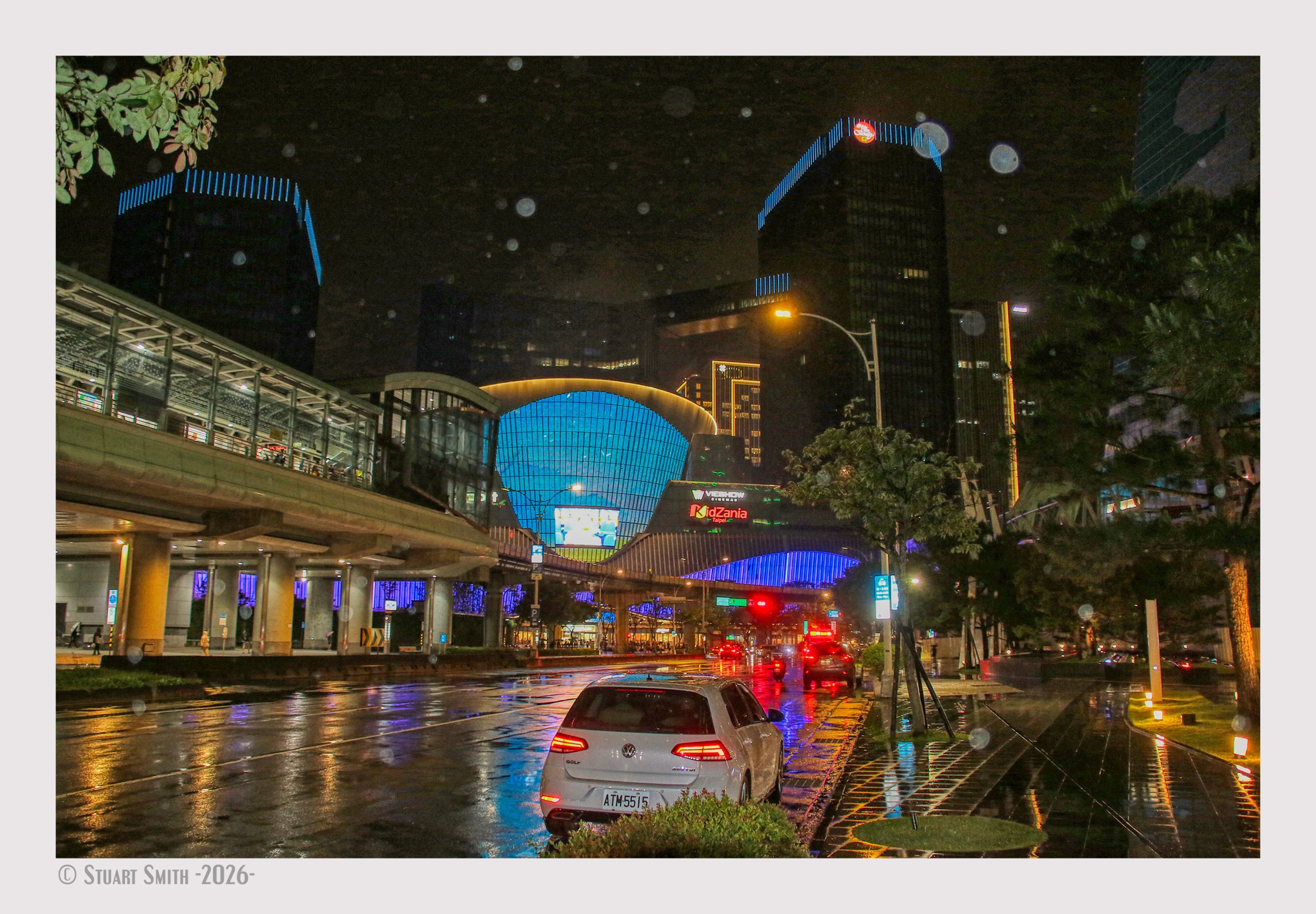
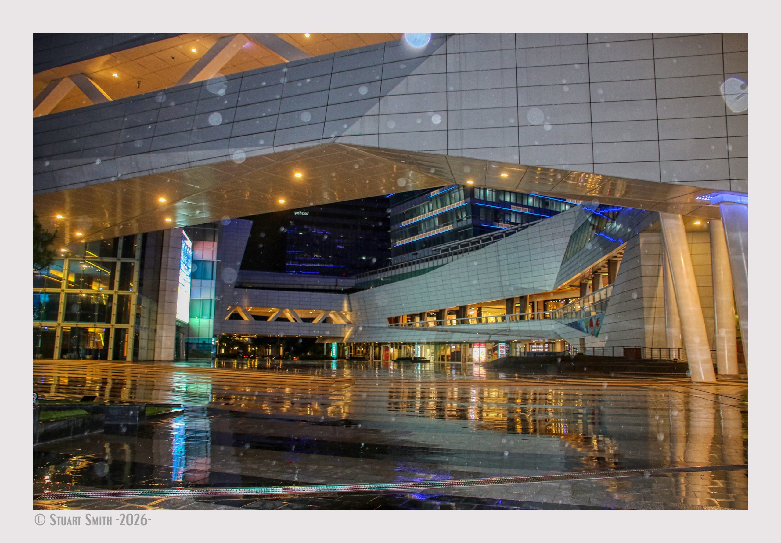 LaLaport Shopping Complex, Jingmao 2nd Road, Taipei, Taiwan
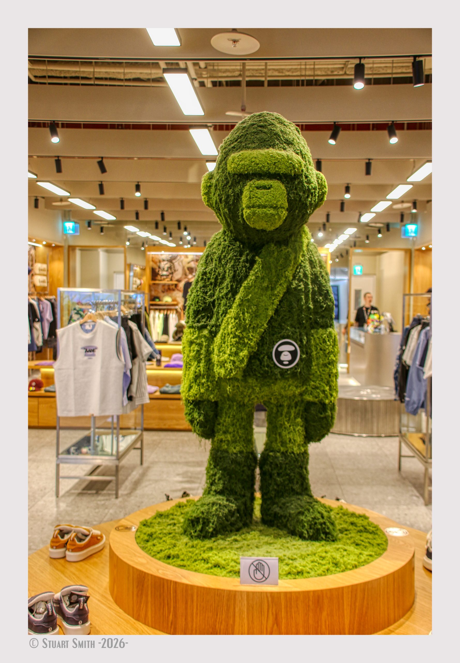 Retail Display, Lalaport Shopping Complex, Jingmao 2nd Road, Taipei, Taiwan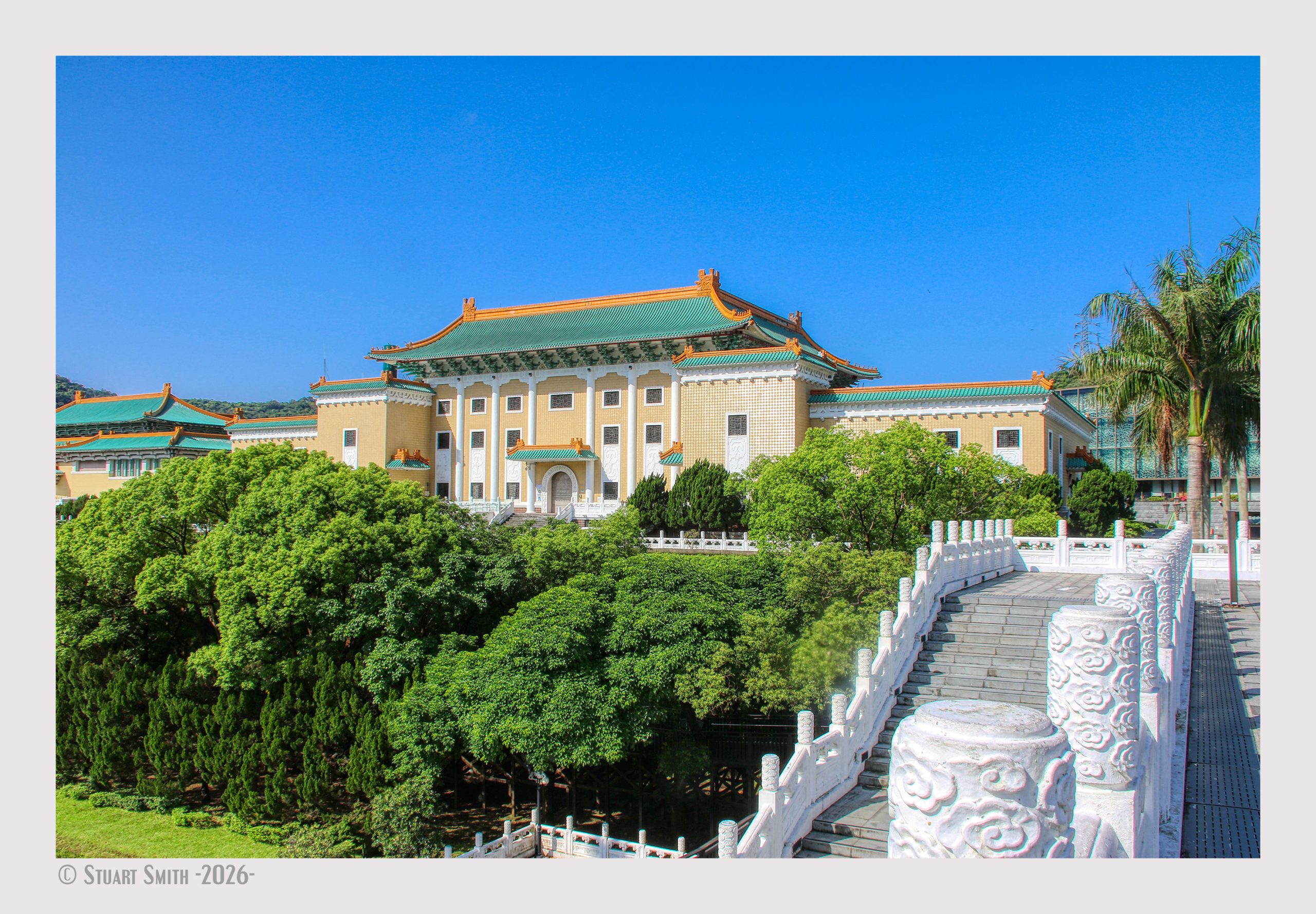
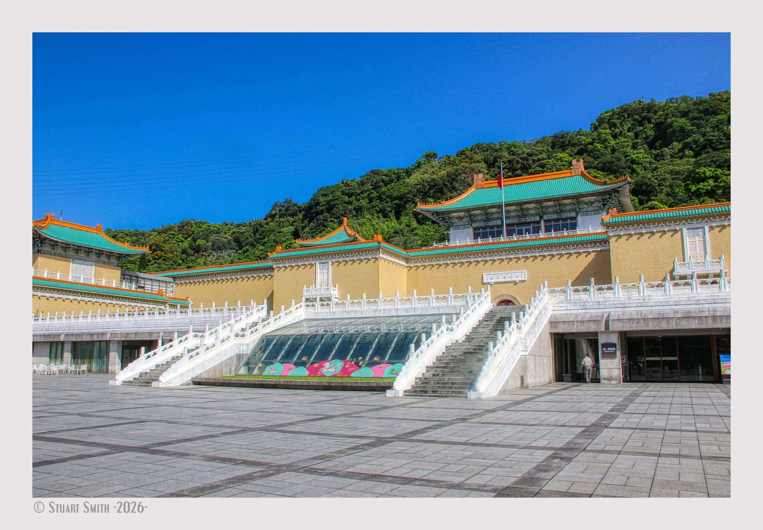
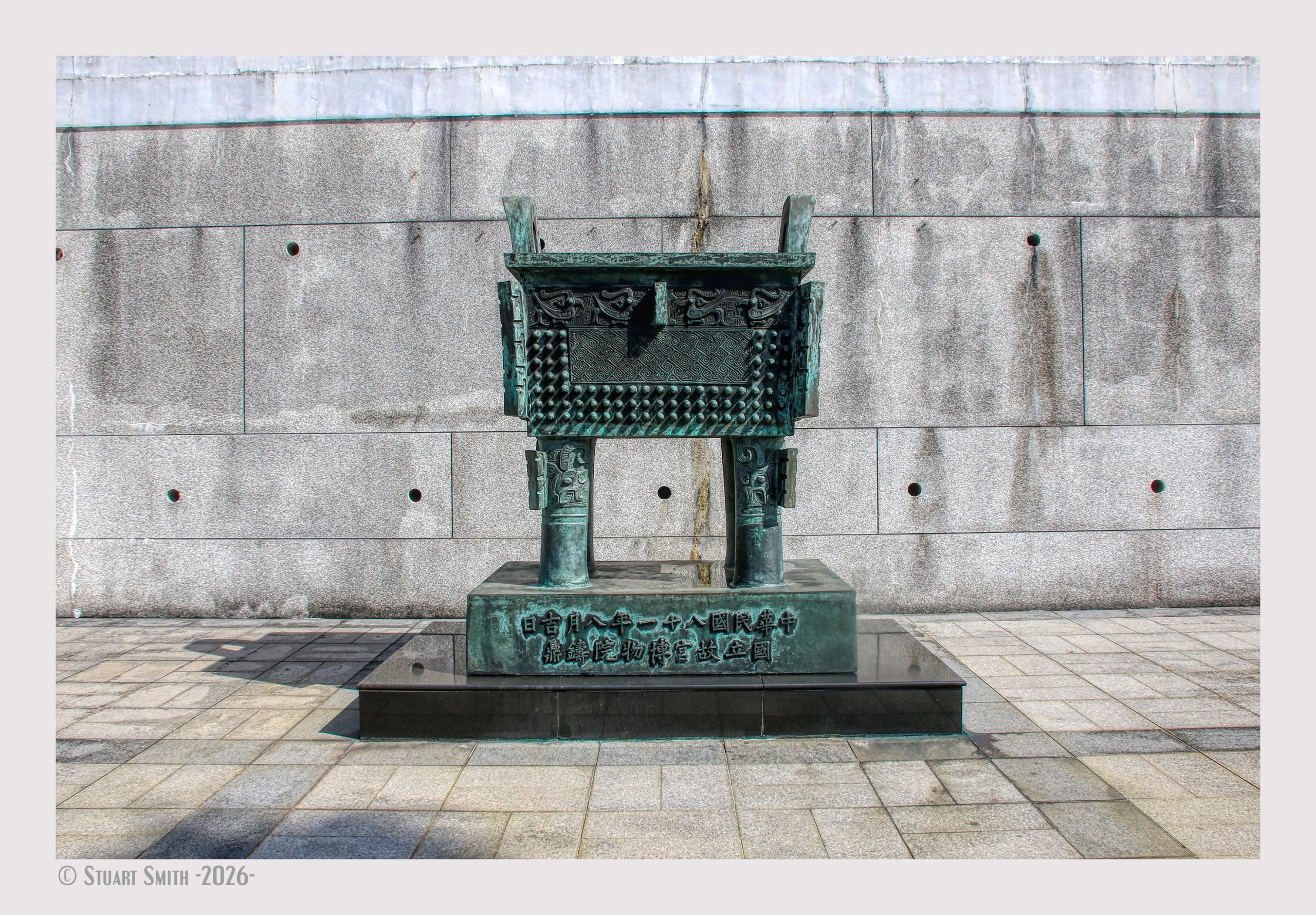
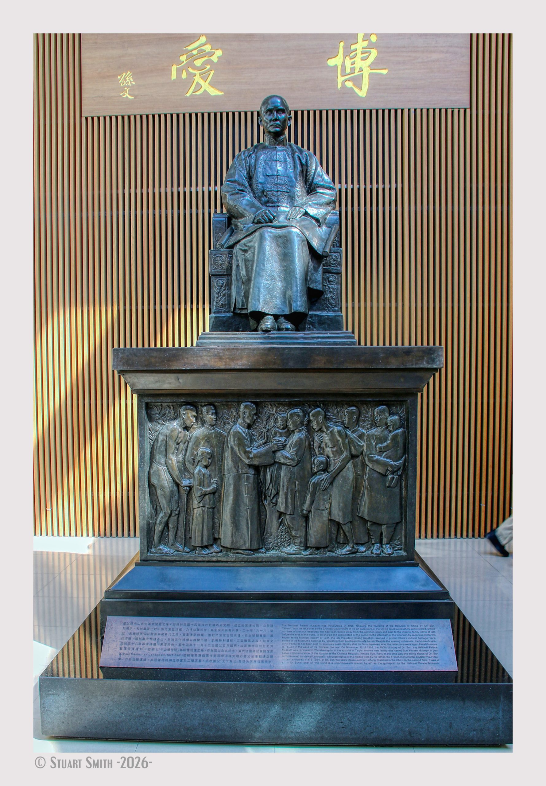 National Palace Museum, No. 221, Sec 2, Zhi Shan Rd, Shilin District, Taipei City, Taiwan
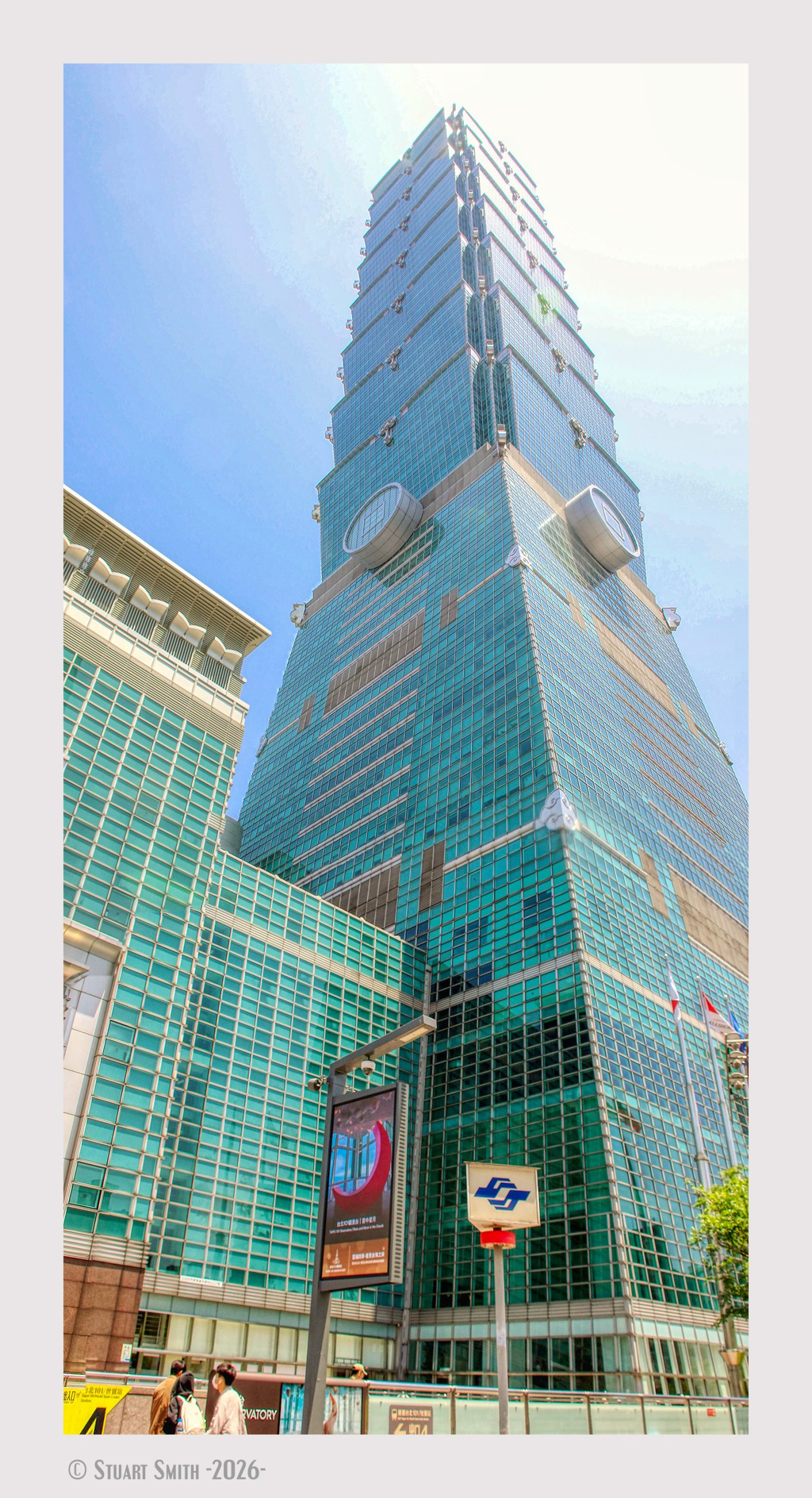 Taipei 101 World Trade Centre, Xinyi Road, Xinyi District, Taipei City, Taiwan
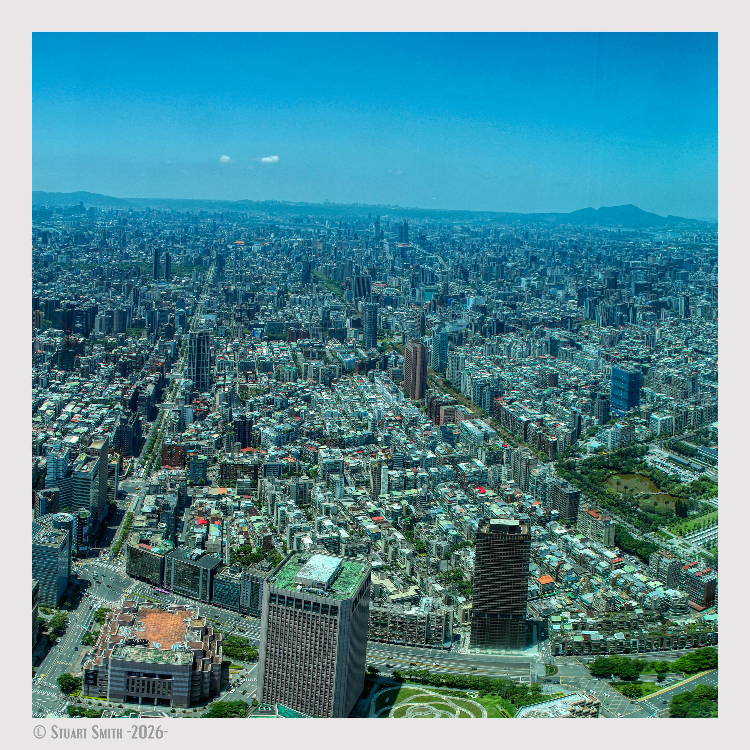 View from Top, Taipei 101 World Trade Centre, Xinyi Road, Xinyi District, Taipei City, Taiwan
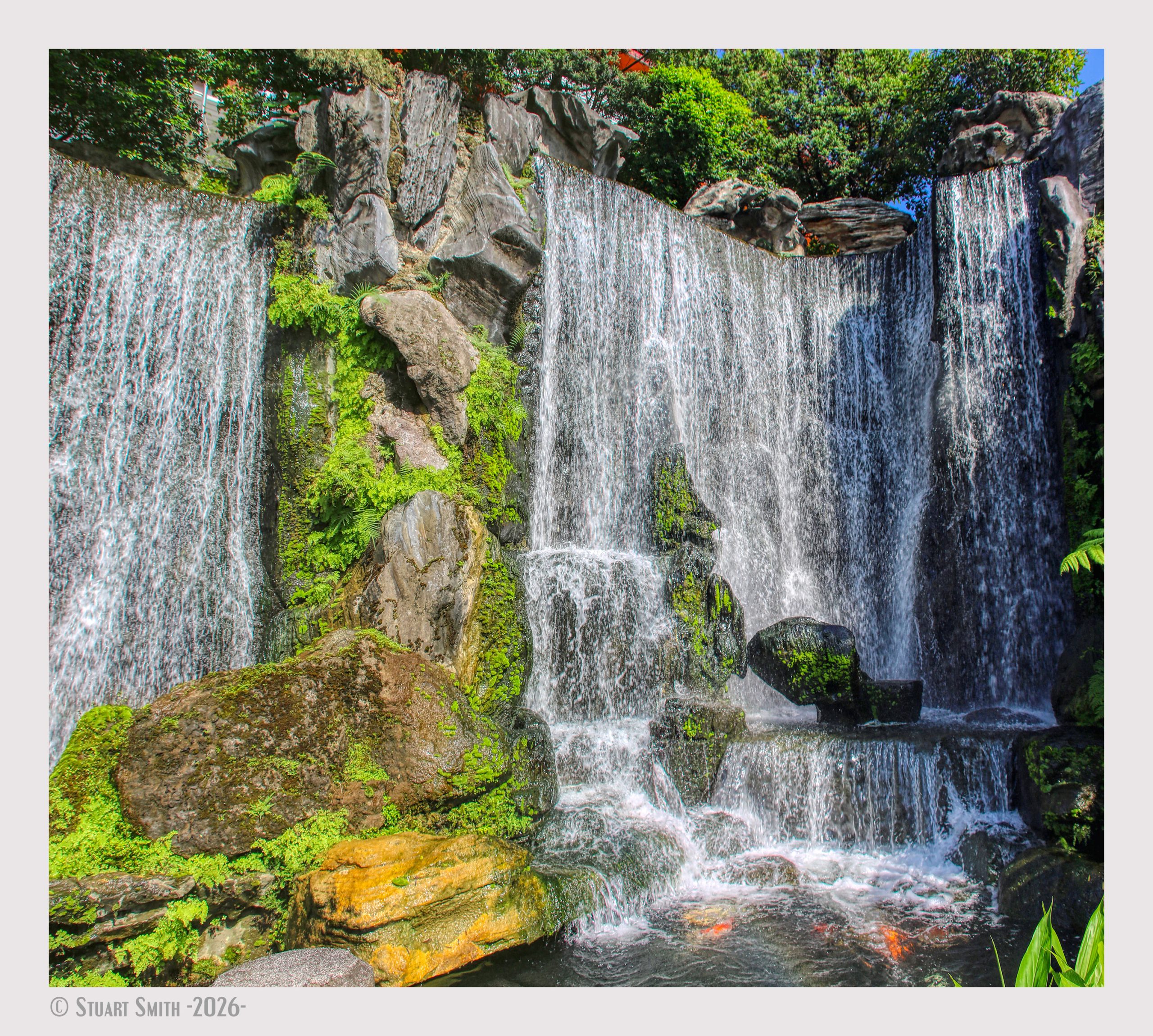 Joshin Waterfall, Lungshan Temple, Guangzhou St, Fumin Village, Wanhua District, Taipei City, Taiwan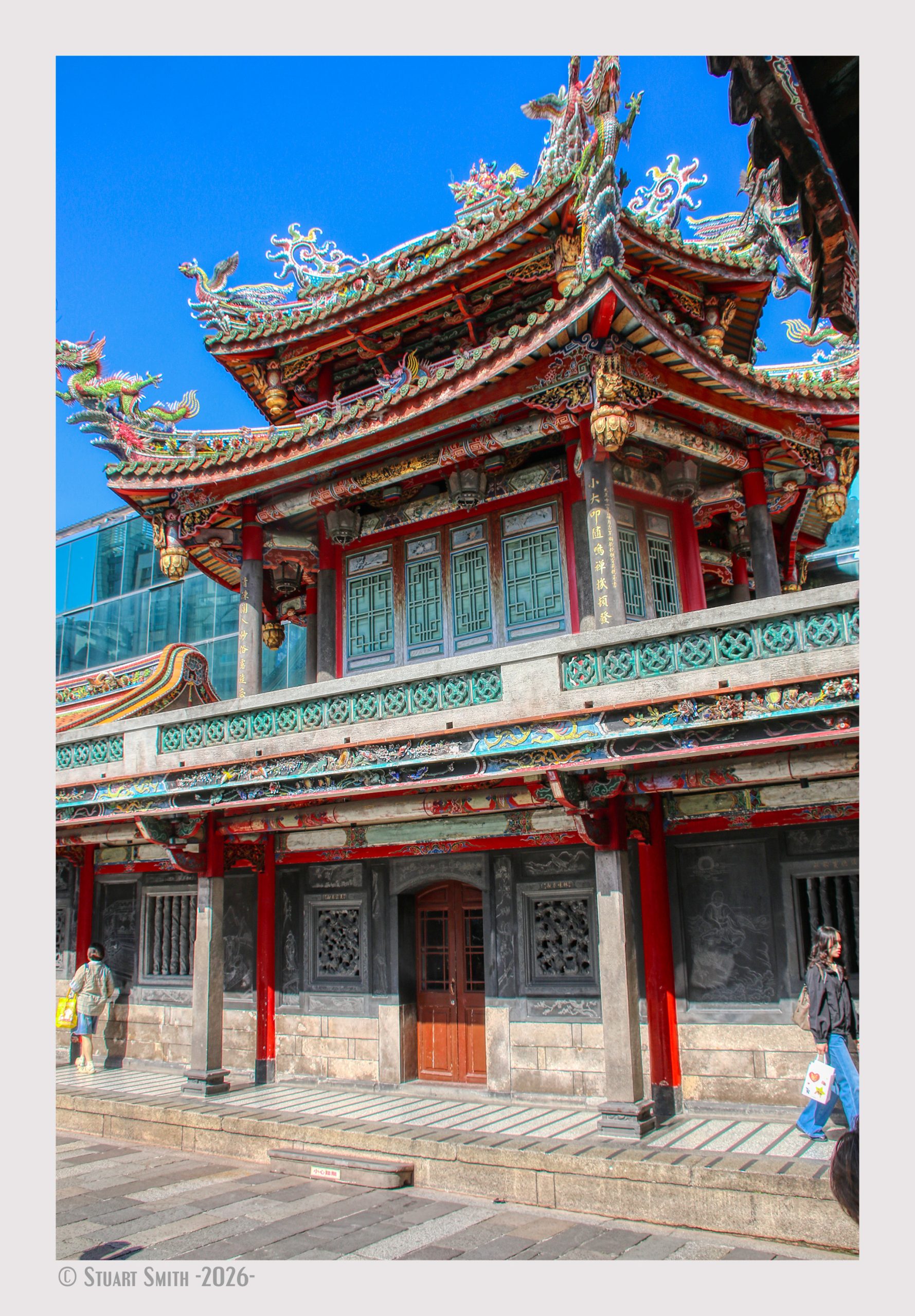
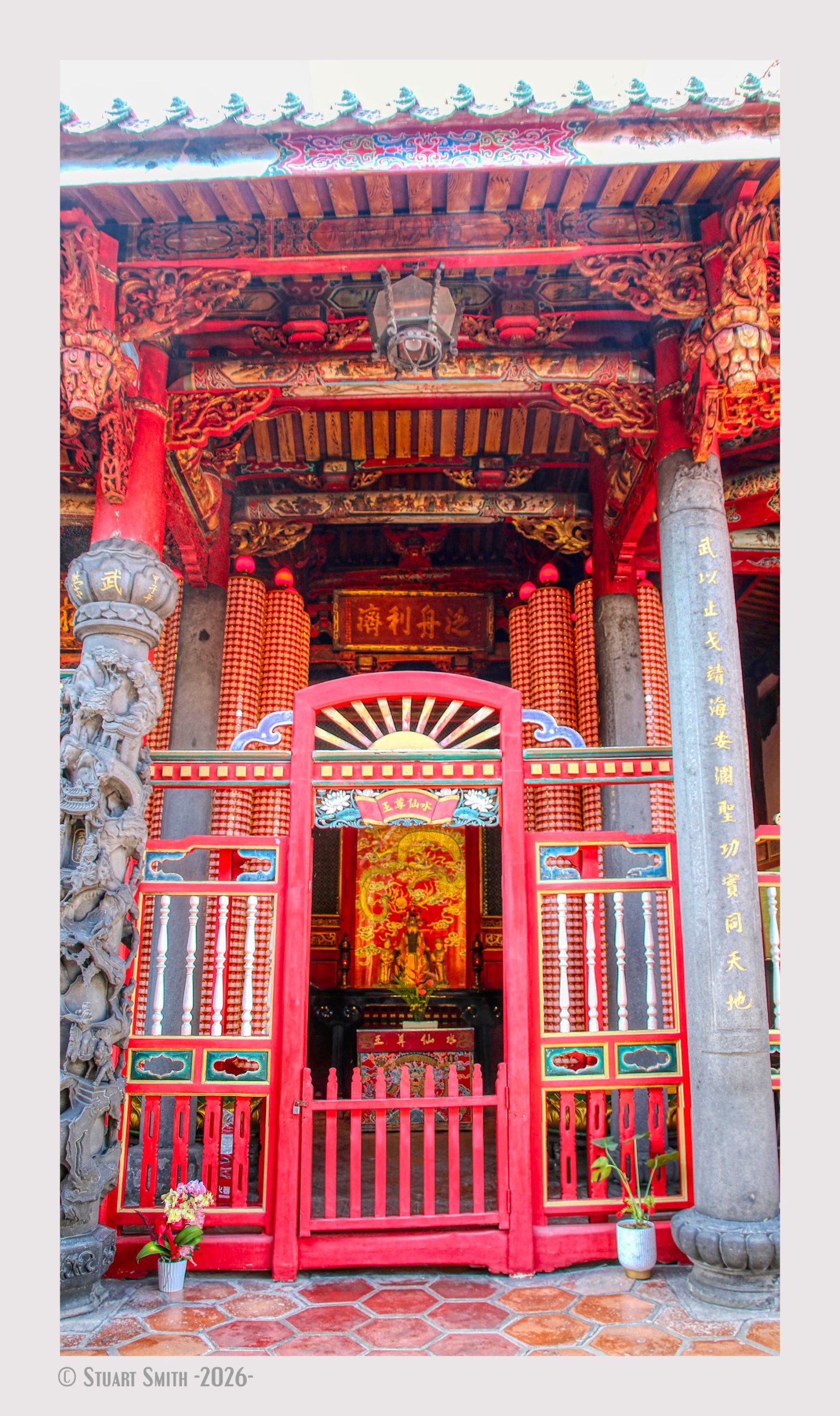
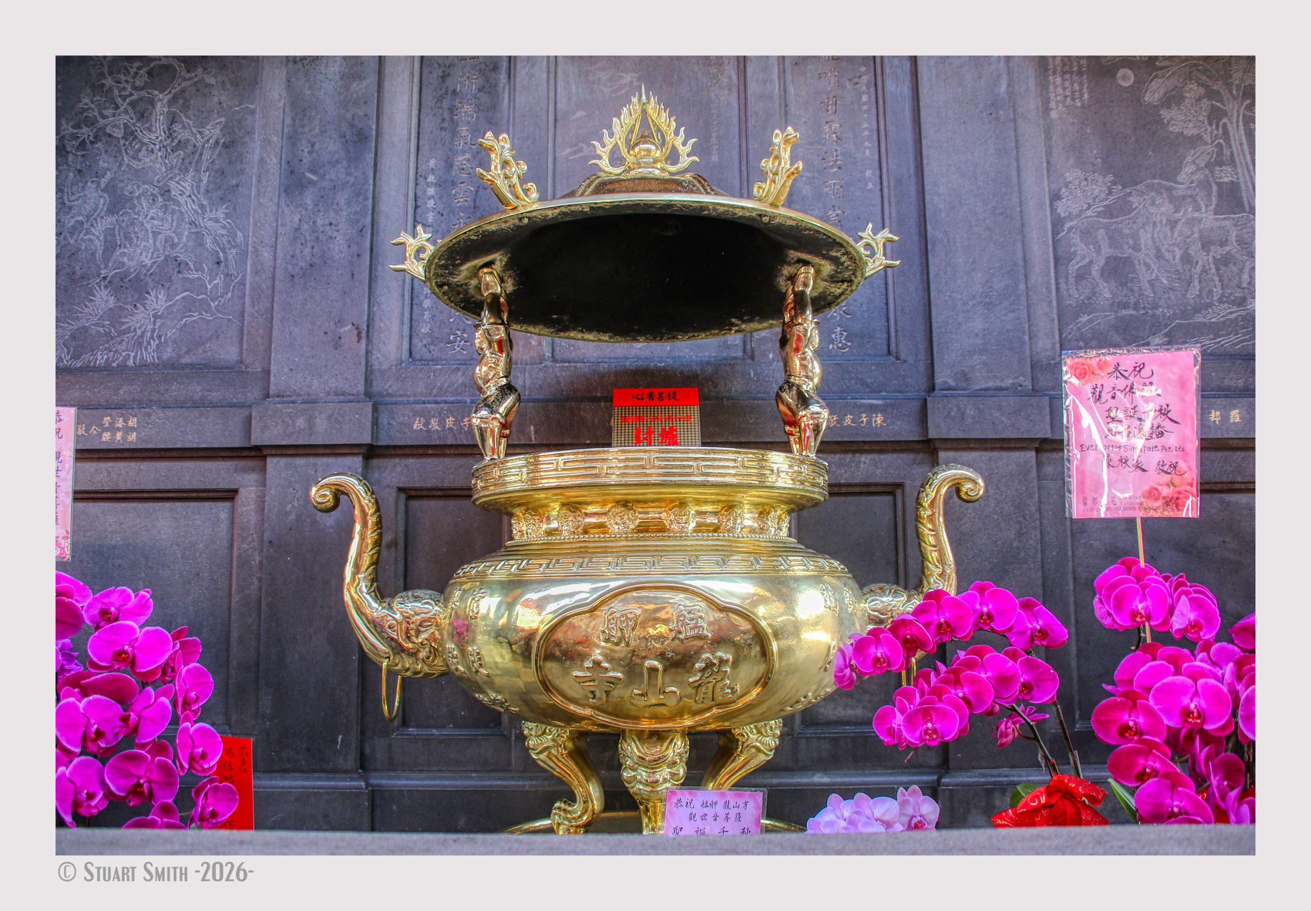
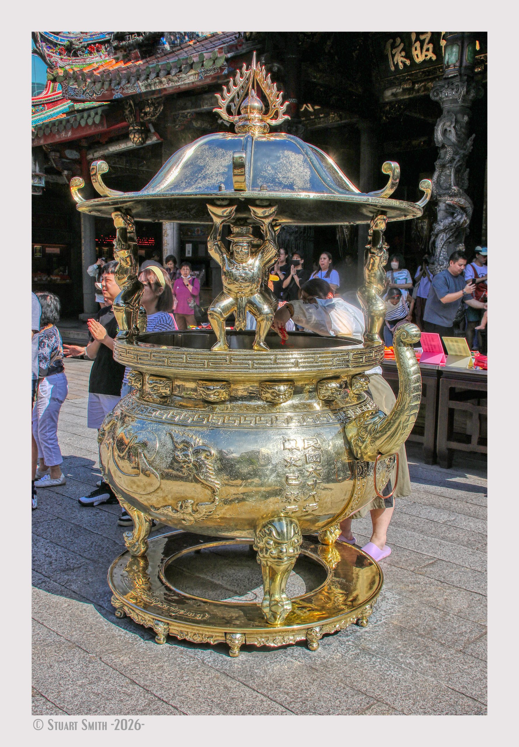
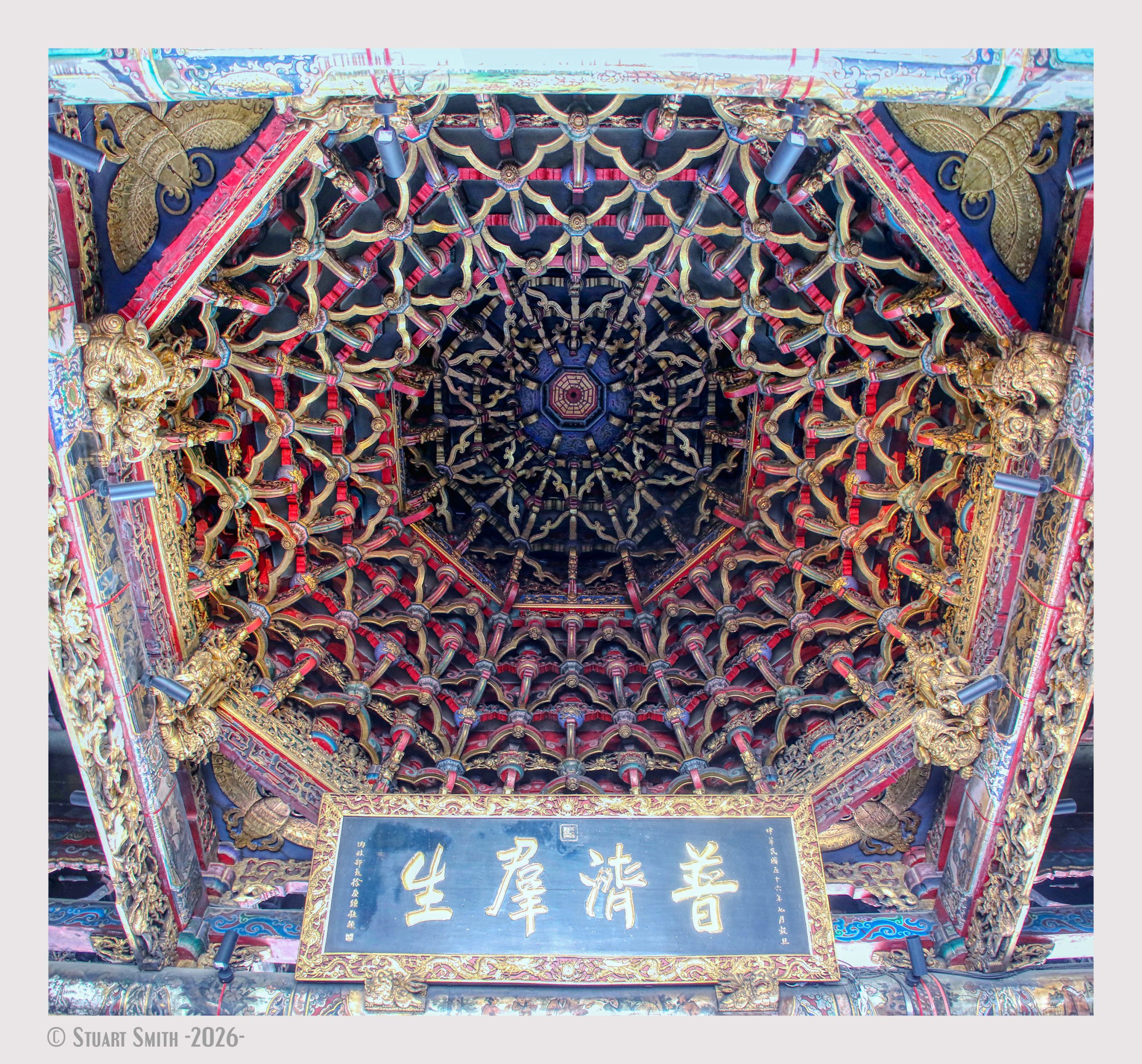
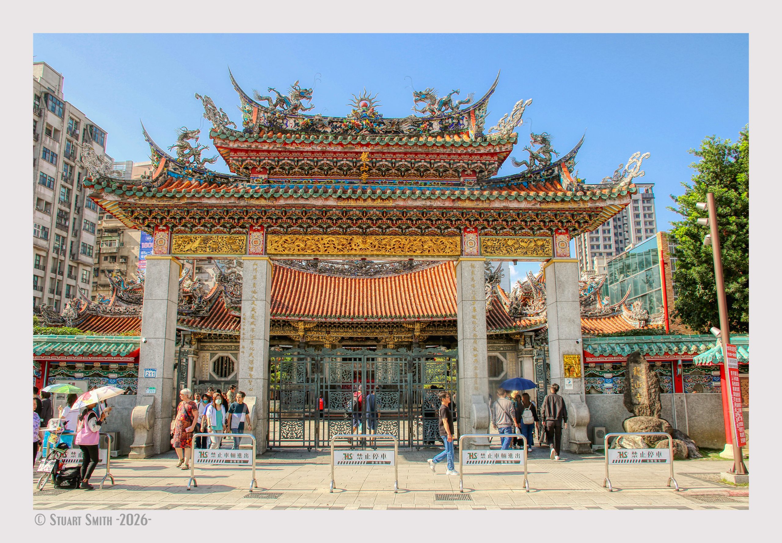 Lungshan Temple, Guangzhou St, Fumin Village, Wanhua District, Taipei City, Taiwan
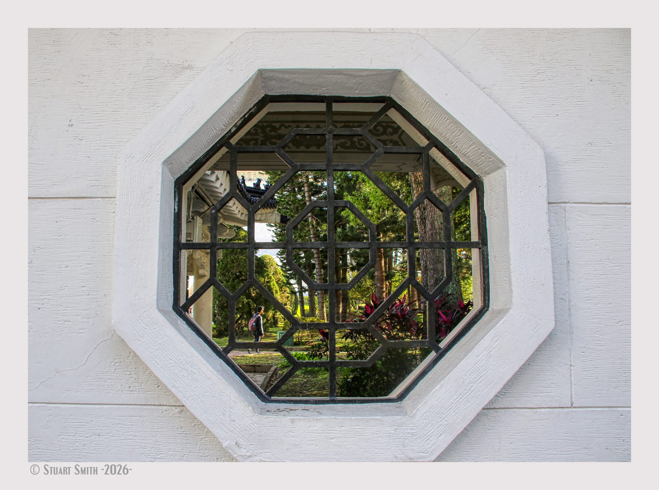 Window, Dazhong Gate, Chiang Kai-Shek Memorial, Zhongshan S Rd, Dongmen Village, Zhongzheng District, Taipei City, Taiwan
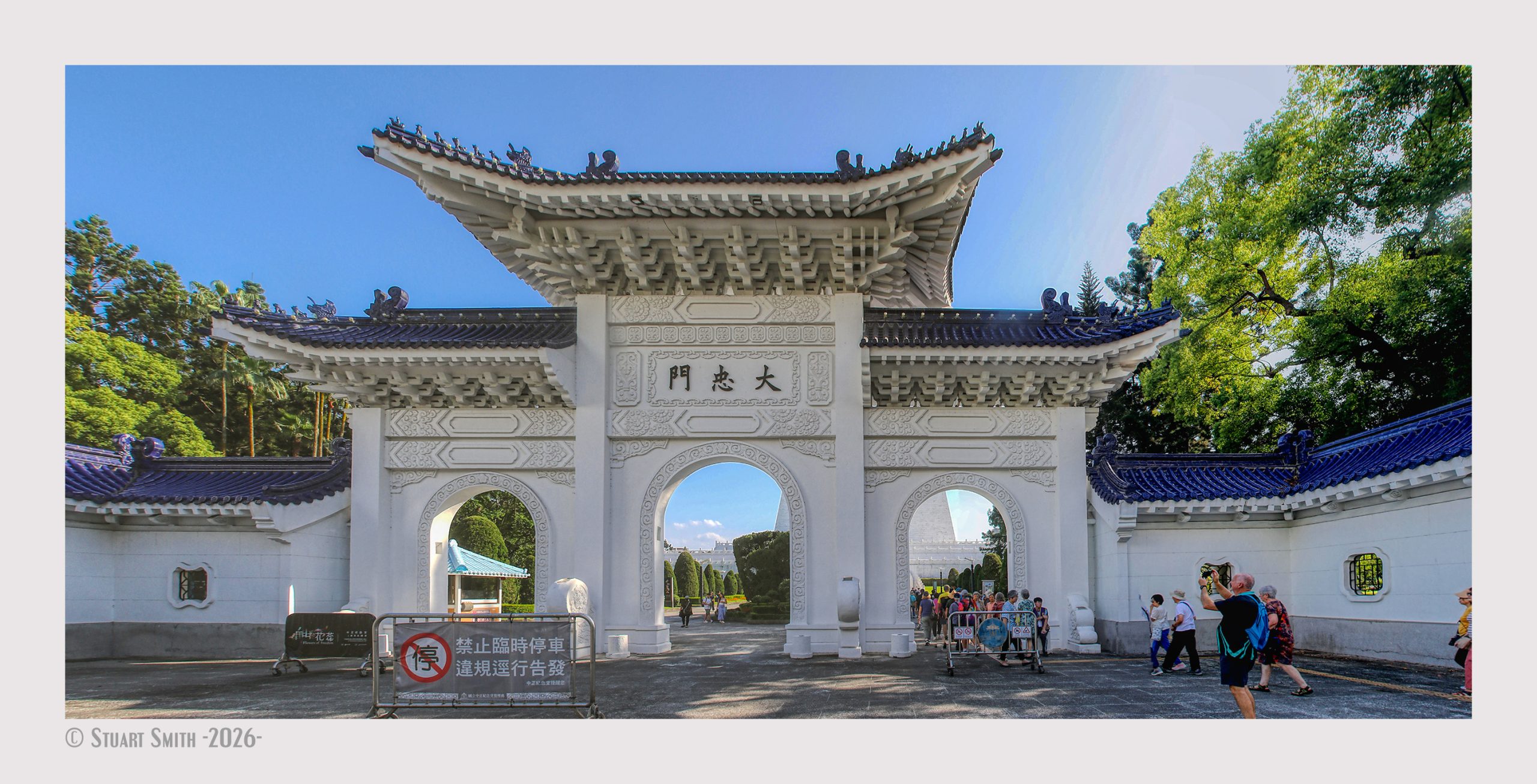 Dazhong Gate, Chiang Kai-Shek Memorial, Zhongshan S Rd, Dongmen Village, Zhongzheng District, Taipei City, Taiwan
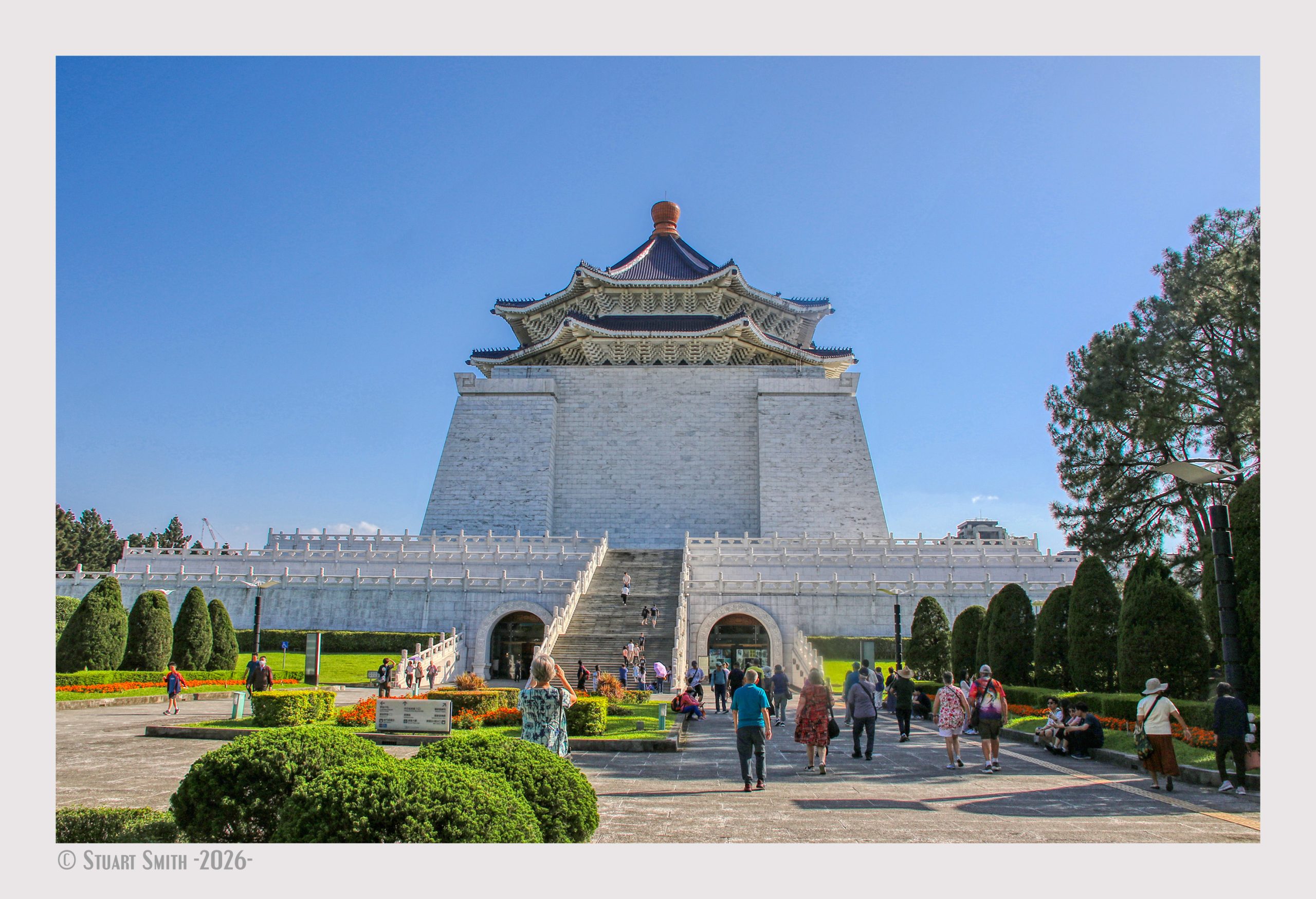 Chiang Kai-Shek Memorial, Zhongshan S Rd, Dongmen Village, Zhongzheng District, Taipei City, Taiwan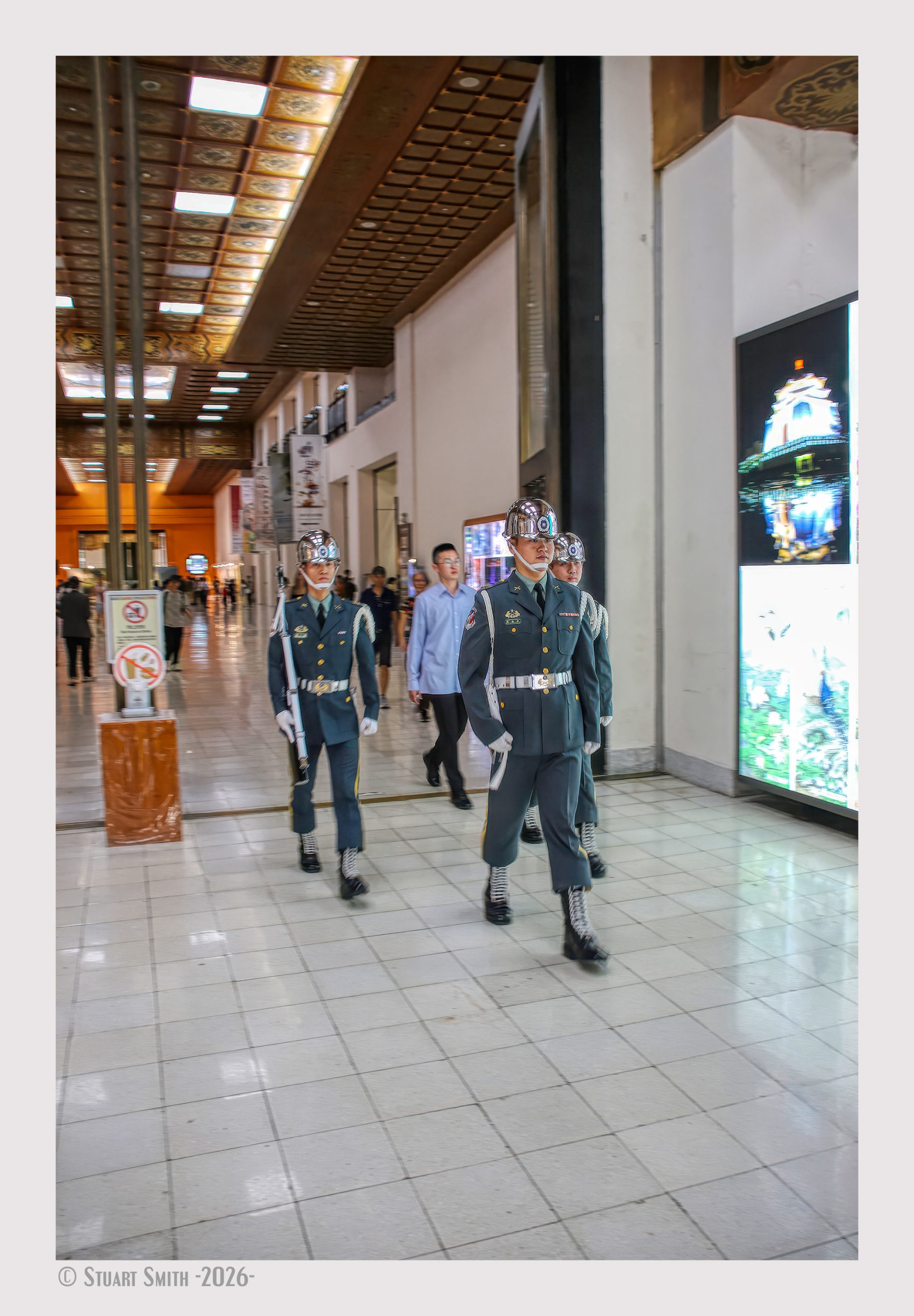
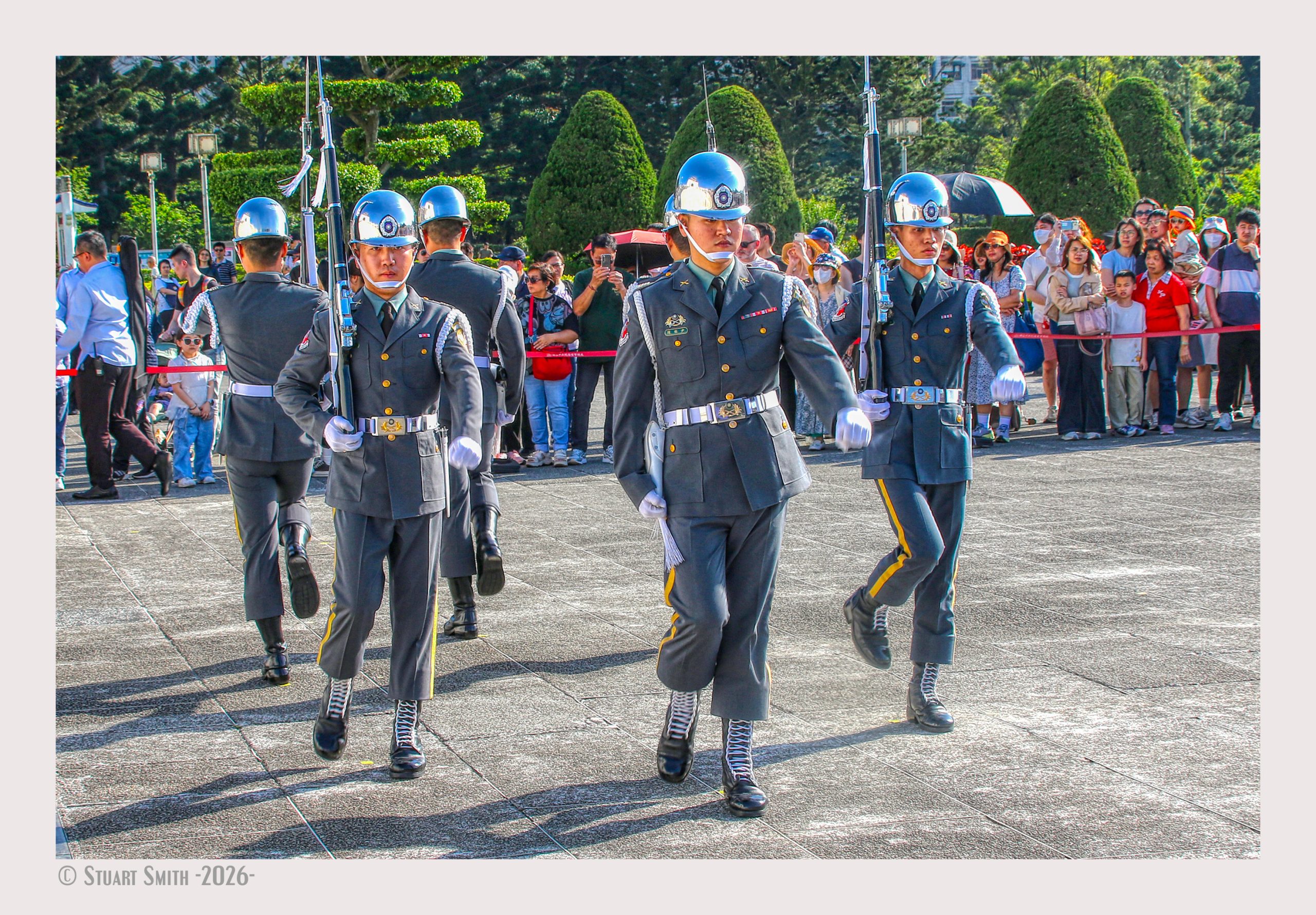 Changing of the Guard, Chiang Kai-Shek Memorial, Zhongshan S Rd, Dongmen Village, Zhongzheng District, Taipei City, Taiwan
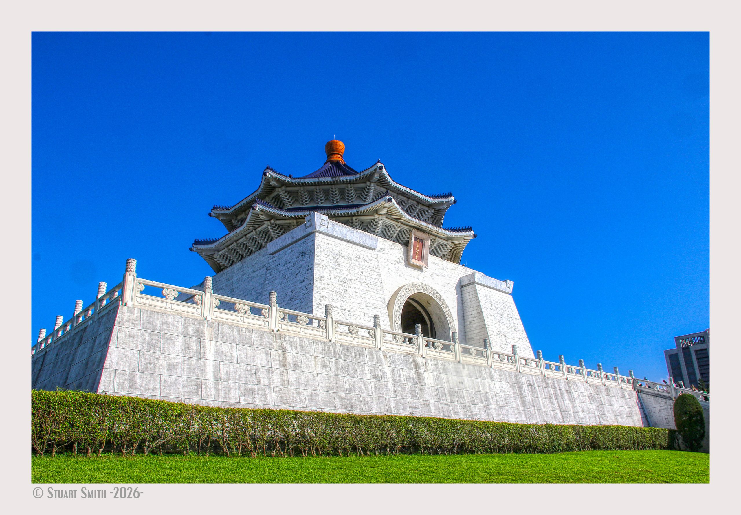 Chiang Kai-Shek Memorial, Zhongshan S Rd, Dongmen Village, Zhongzheng District, Taipei City, Taiwan
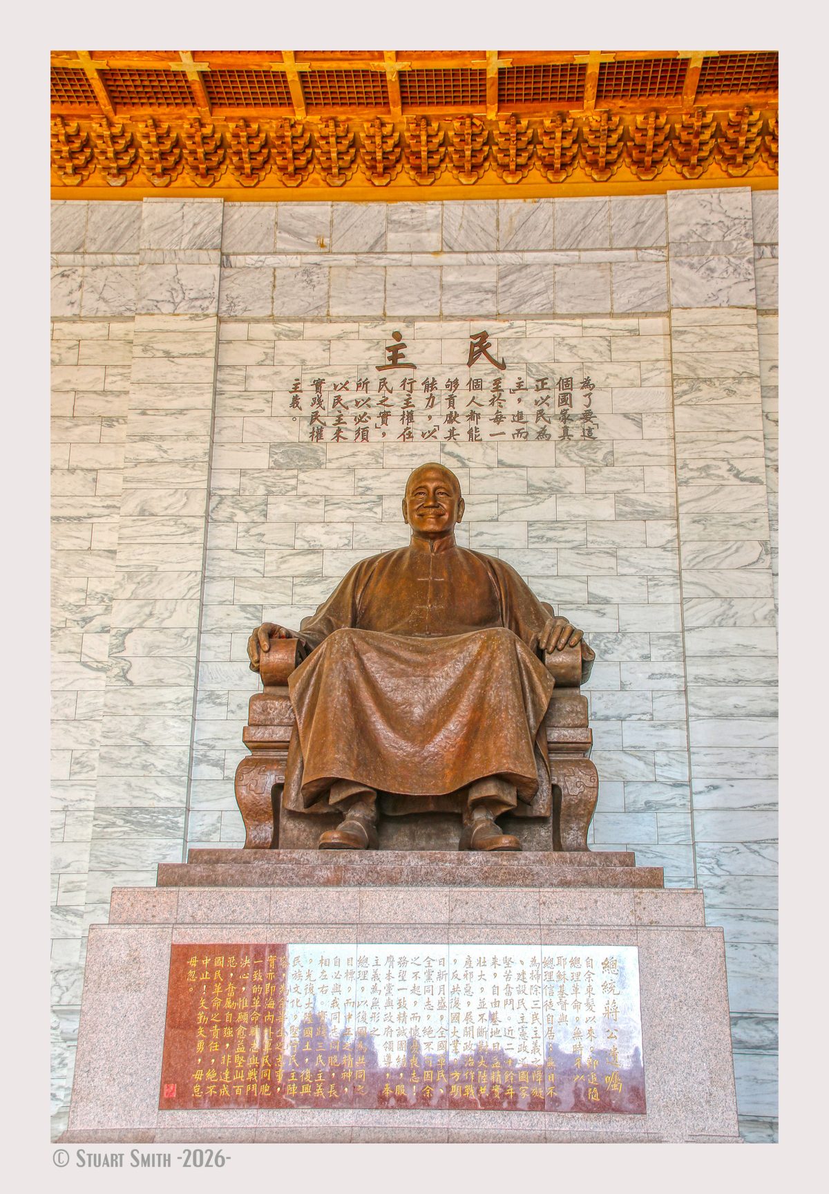
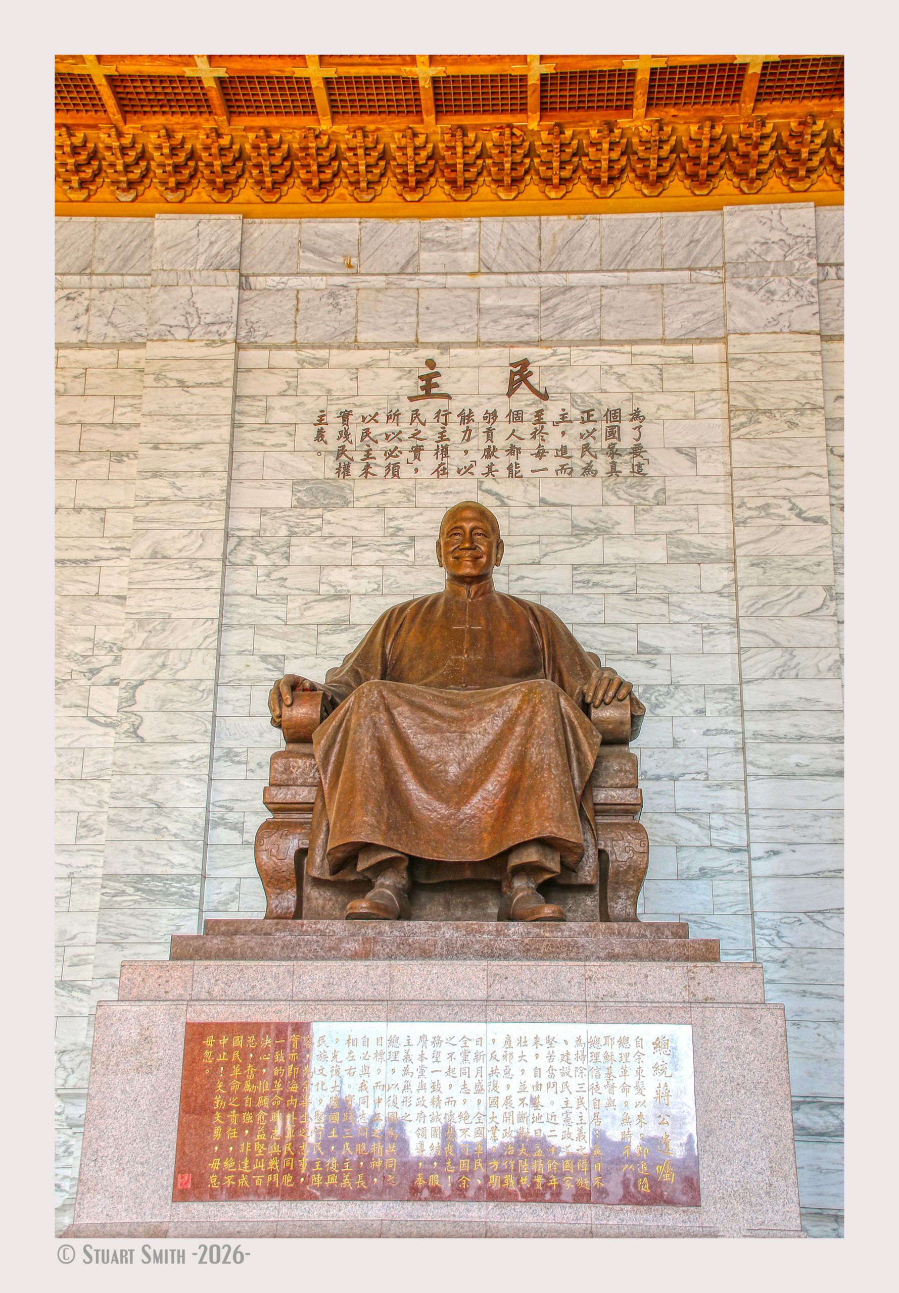 Statue Chiang Kai-Shek, Chiang Kai-Shek Memorial, Zhongshan S Rd, Dongmen Village, Zhongzheng District, Taipei City, Taiwan
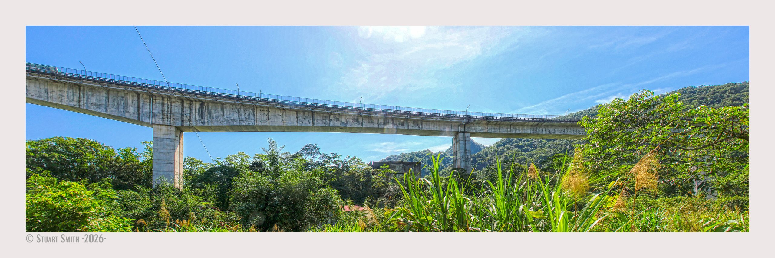 Jifu Road Bridge over Keelung River, Taipei City, Taiwan
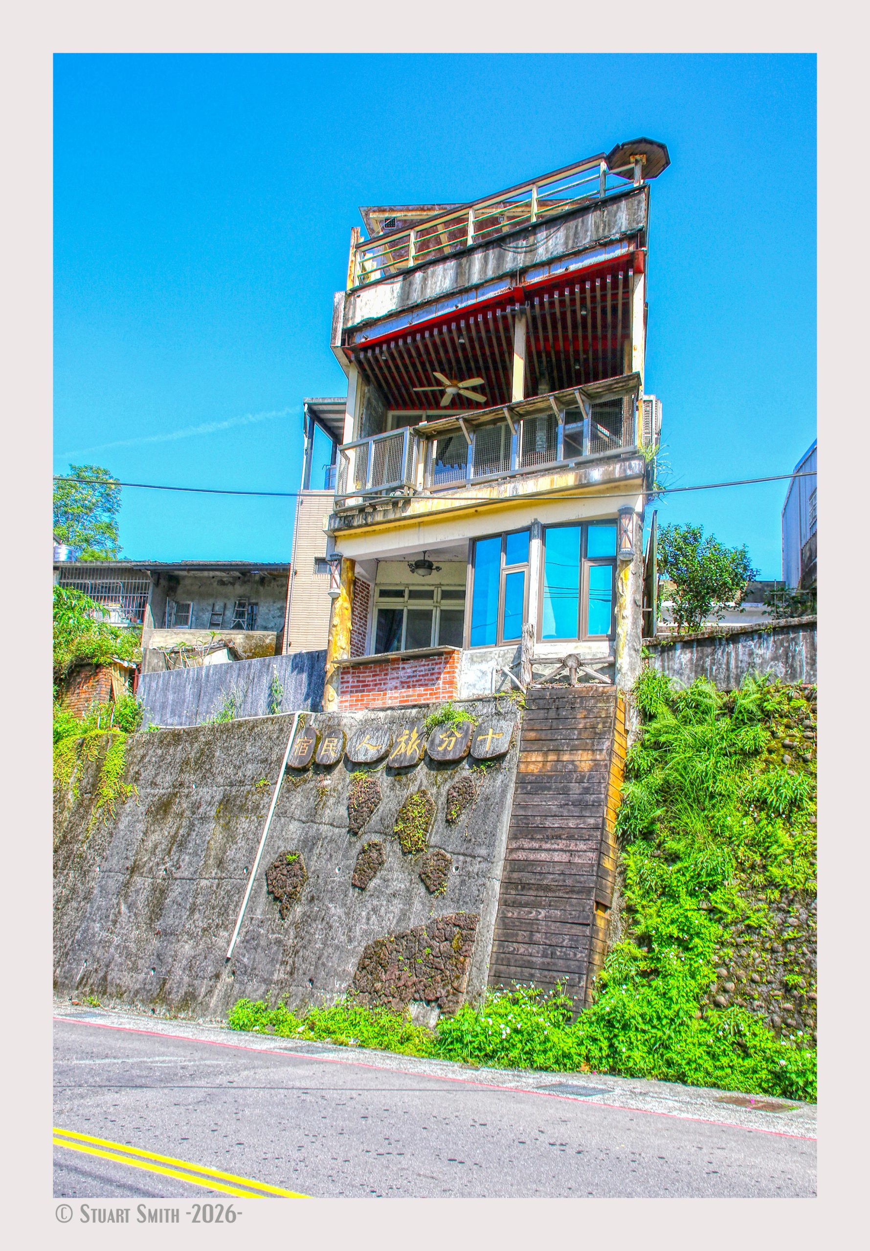 Residence, Ruiping Road, Taipei City, Taiwan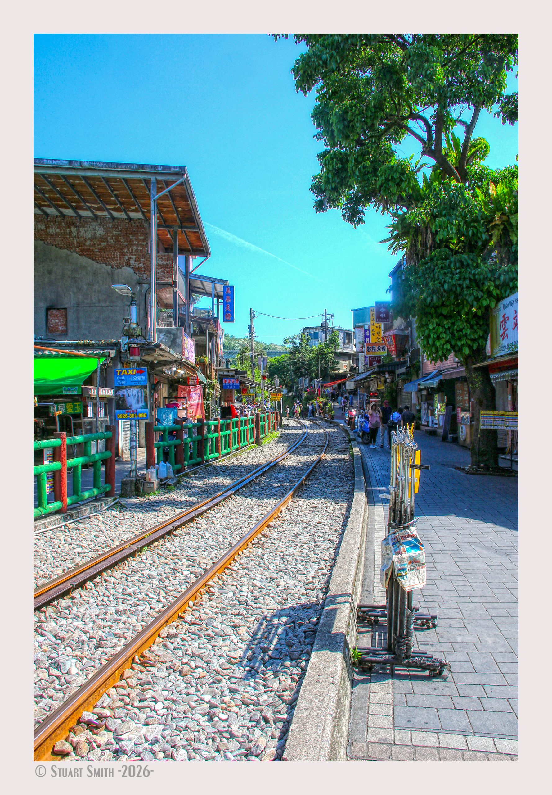
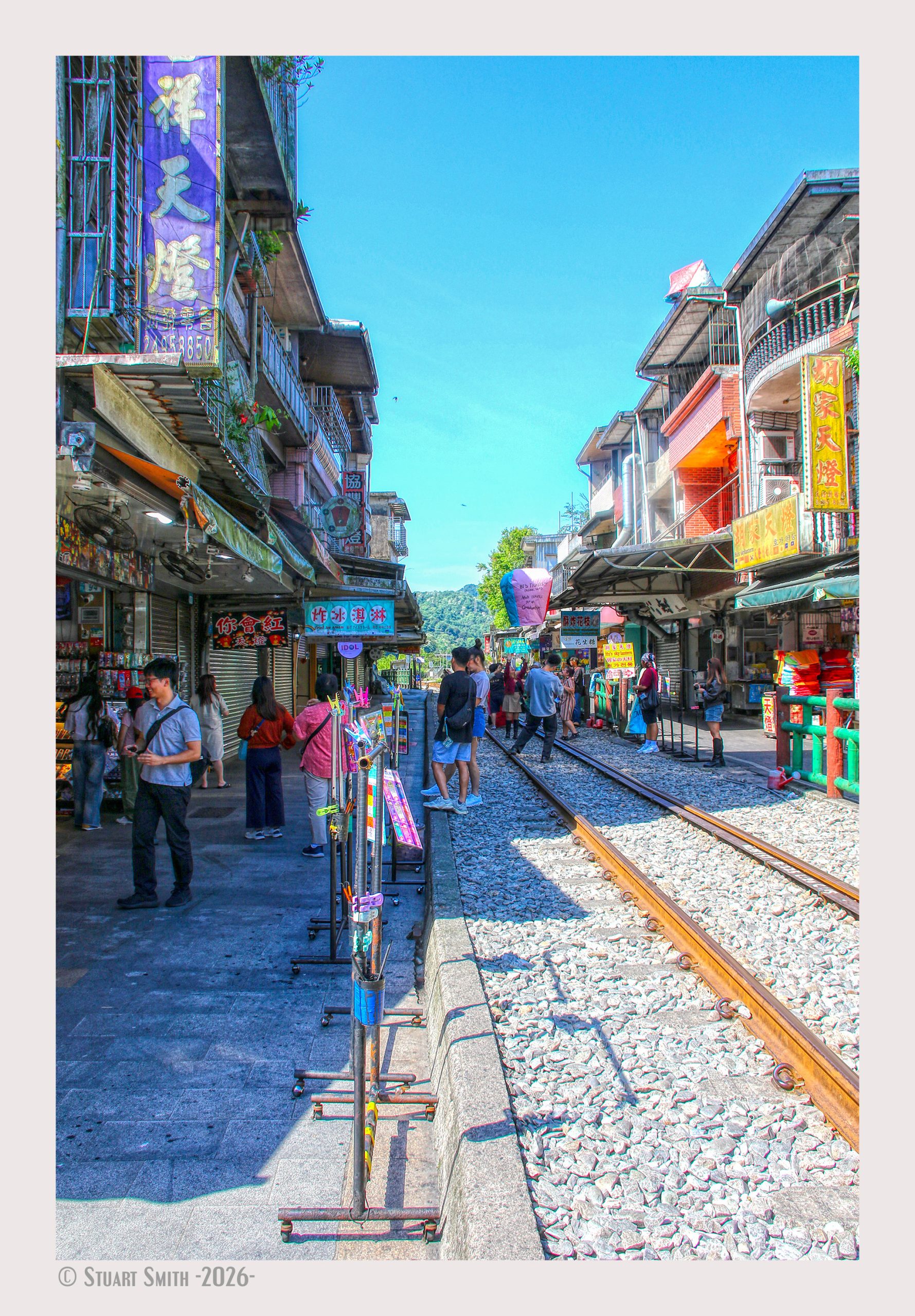
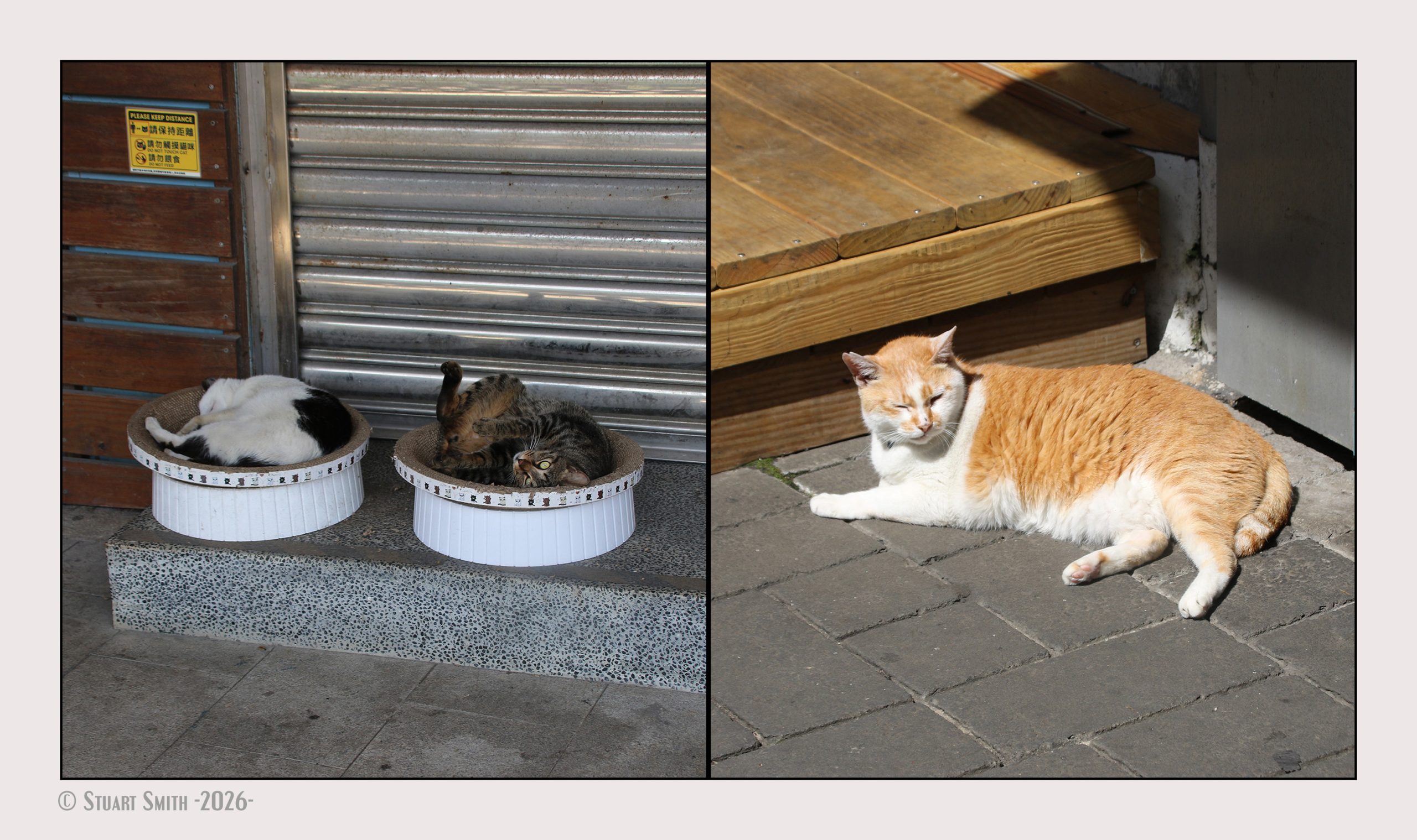
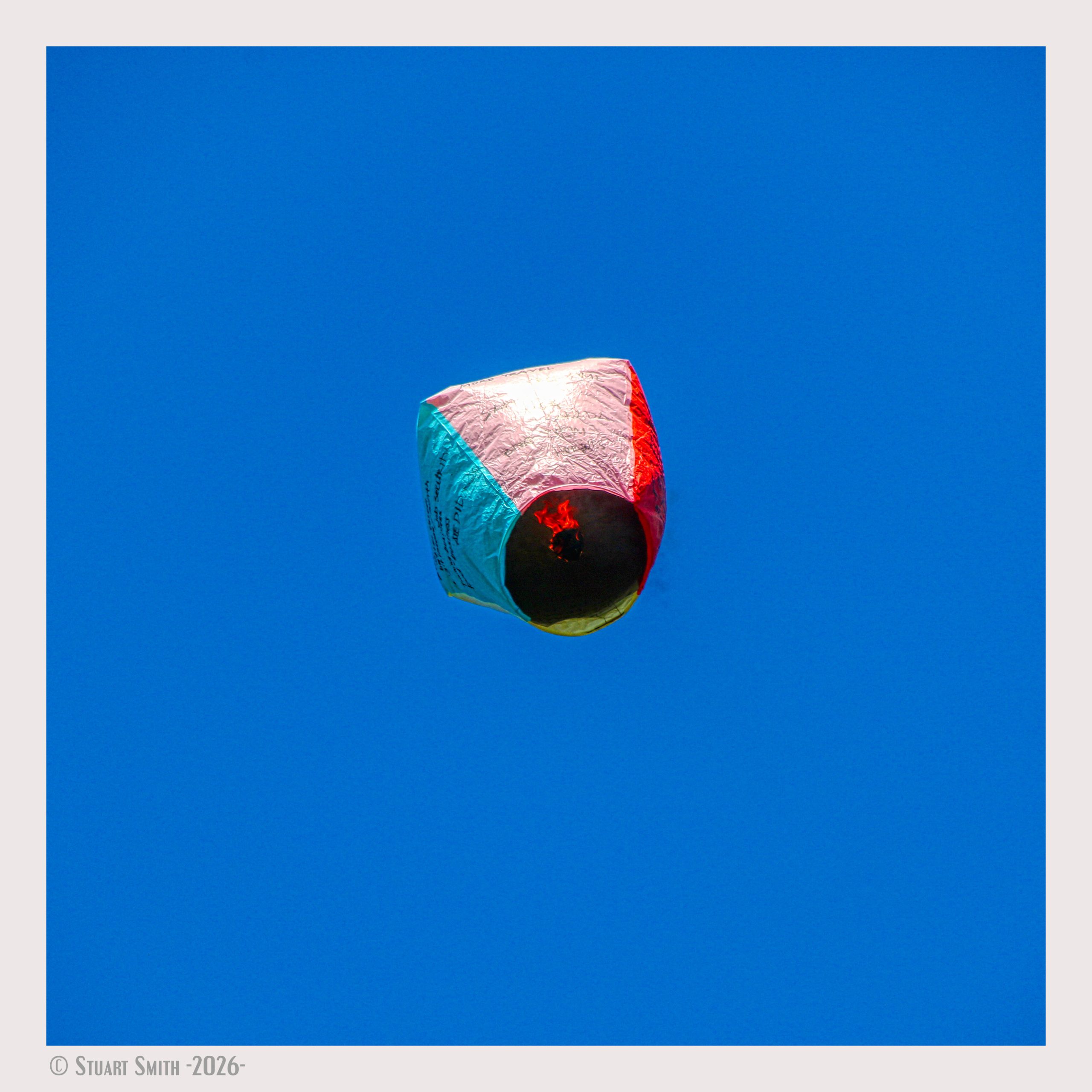
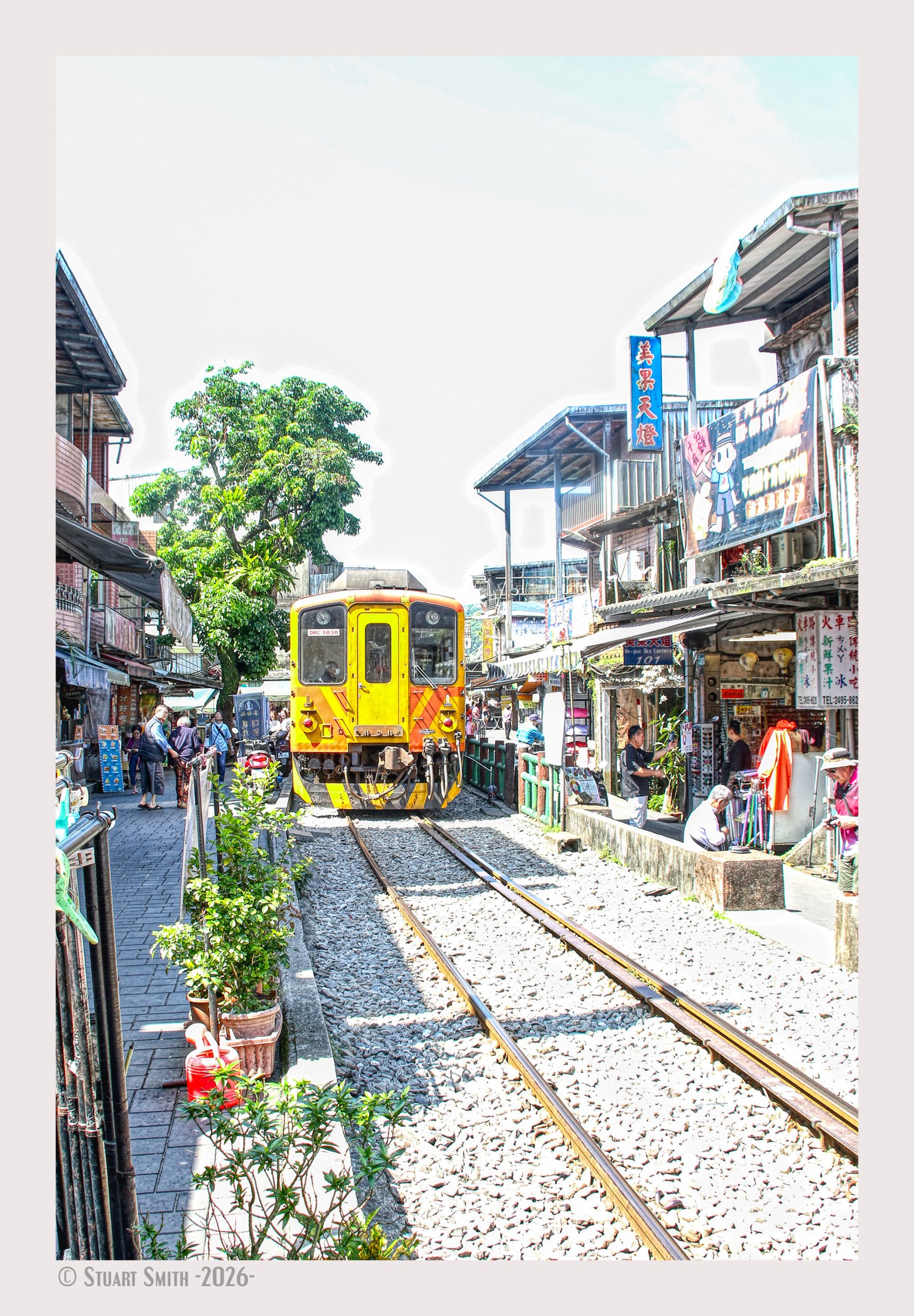
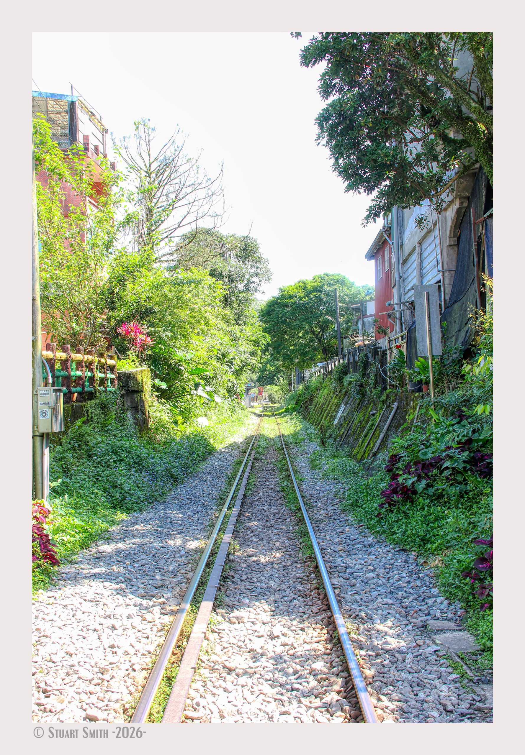
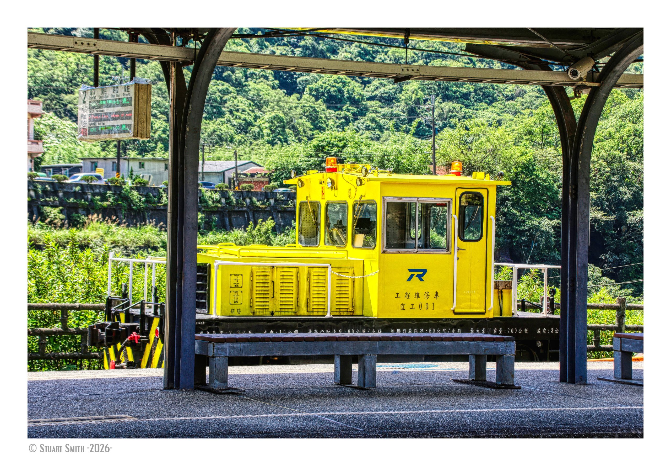
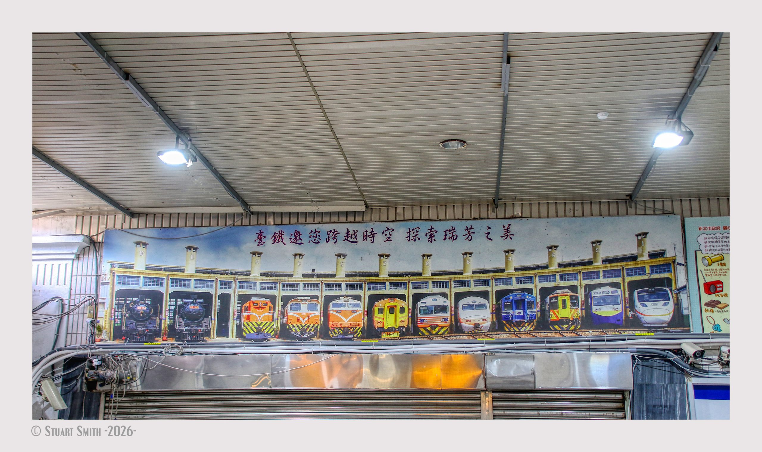 Taiwan Railways, Shifen Station, New Taipei City, Pingxi District, Taiwan
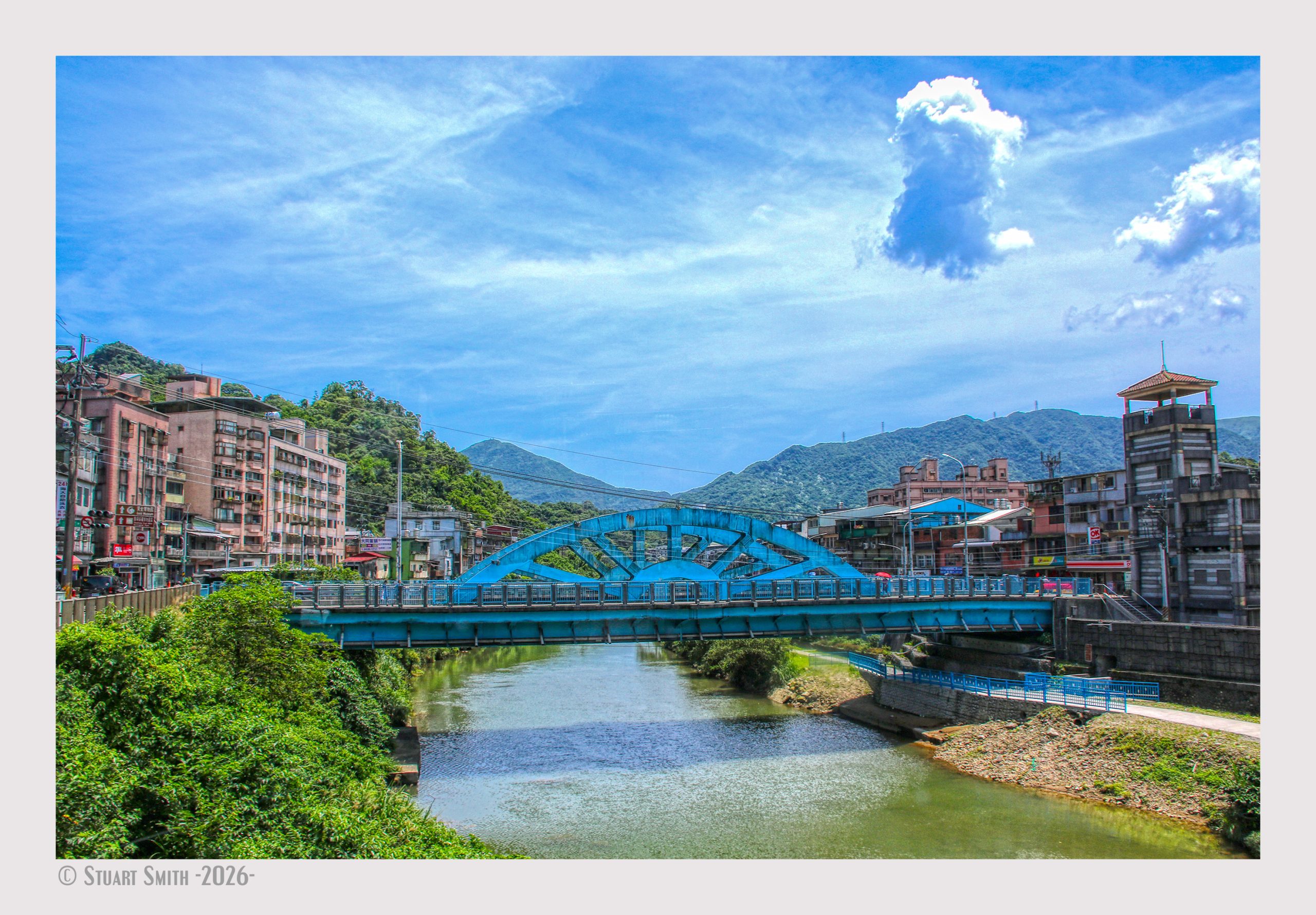 Ruifeng Bridge, Keelung River, Ruifang District, New Taipei City, Taiwan
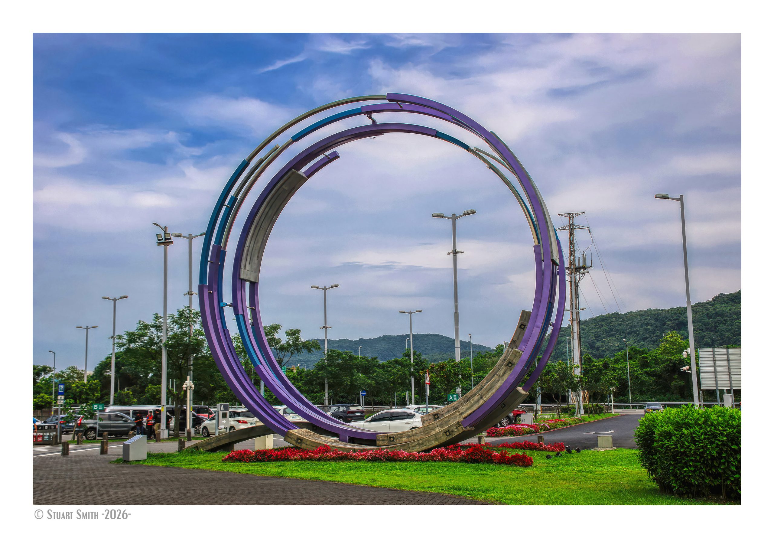 Flowing Light River, Su’ao Service Area, Suxin Road, Xincheng Village, Su’ao Township, Yilan County, Taiwan
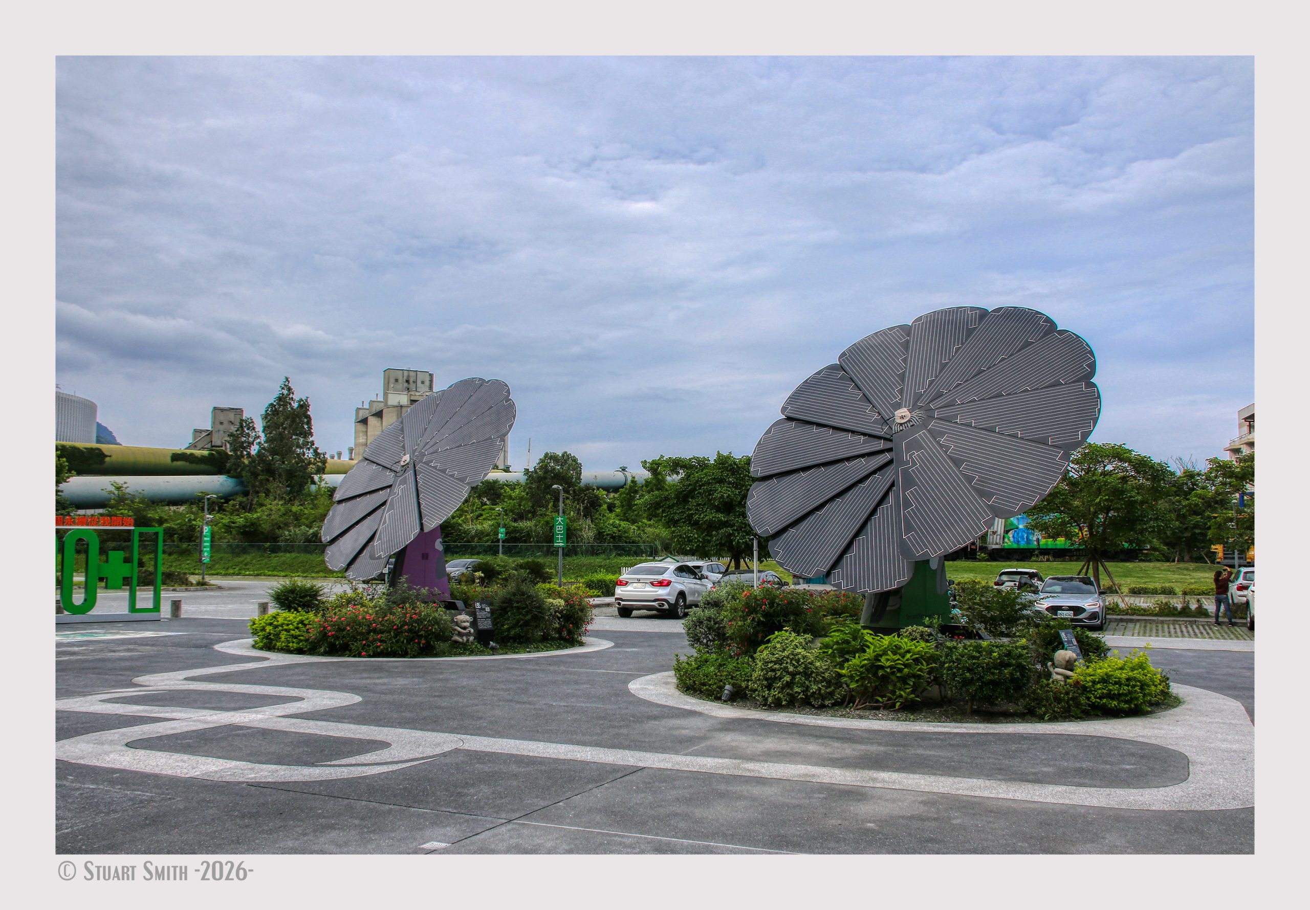 Sculptures, Heping Village, Xiulin Township, Hualien County, Taiwan
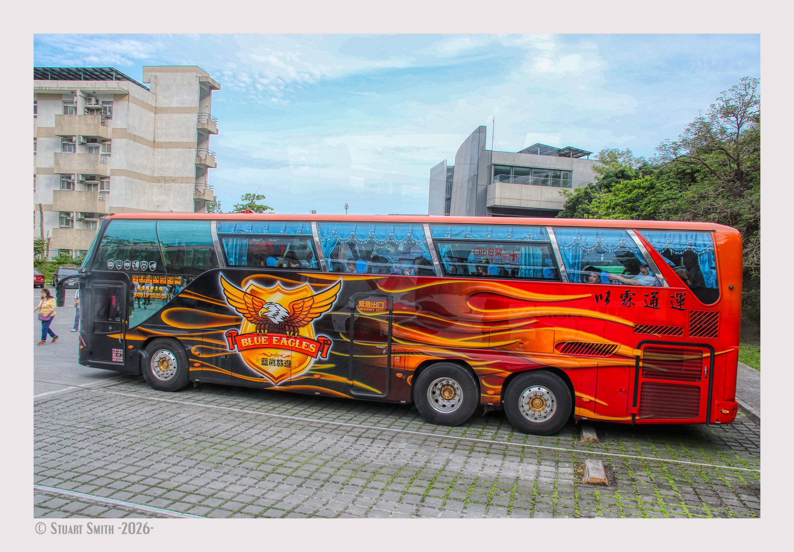 A Tour Bus, Heping Village, Xiulin Township, Hualien County, Taiwan
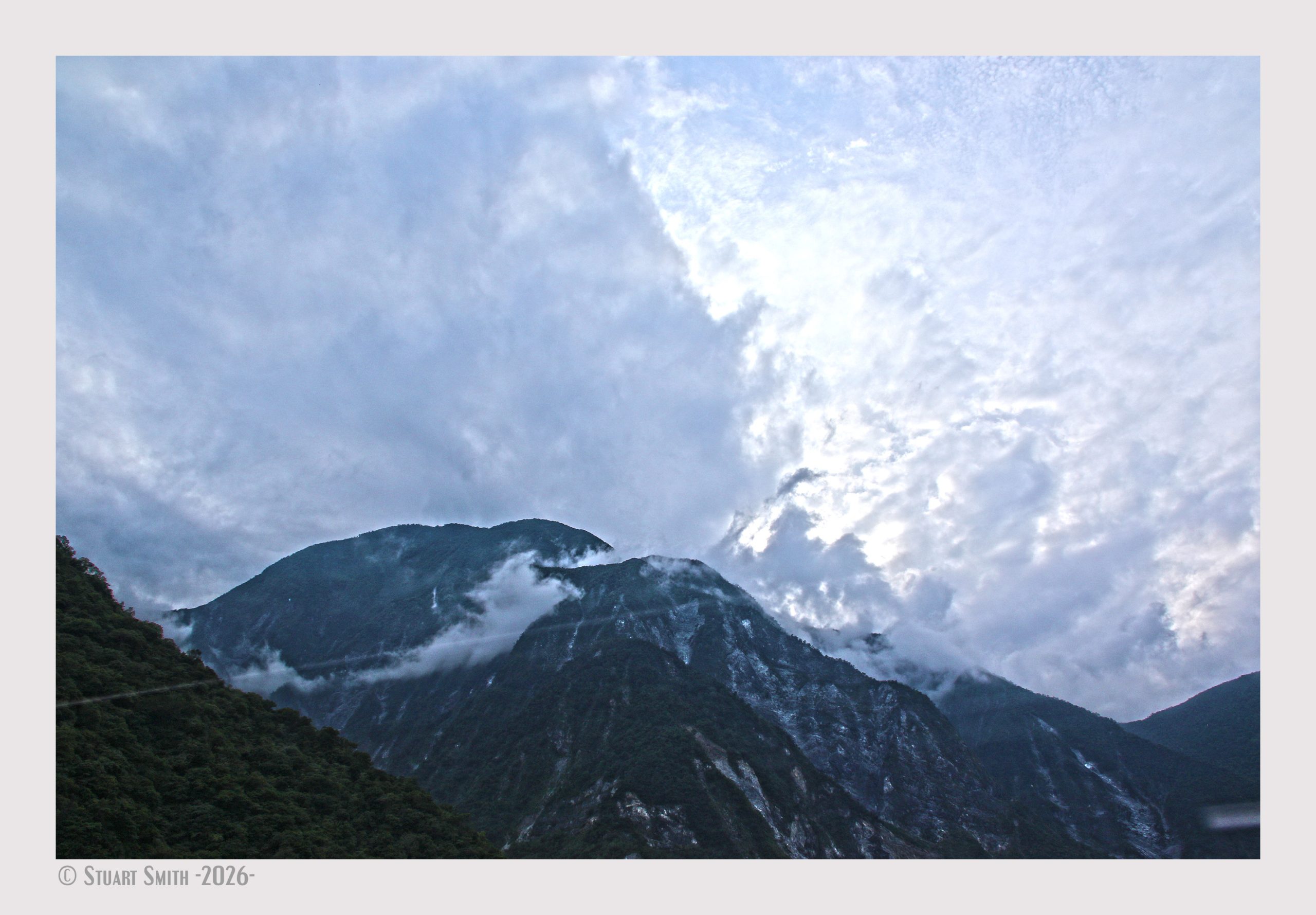 Mountain View, Provincial Highway, Hualien County, Xiulin Township, Taiwan
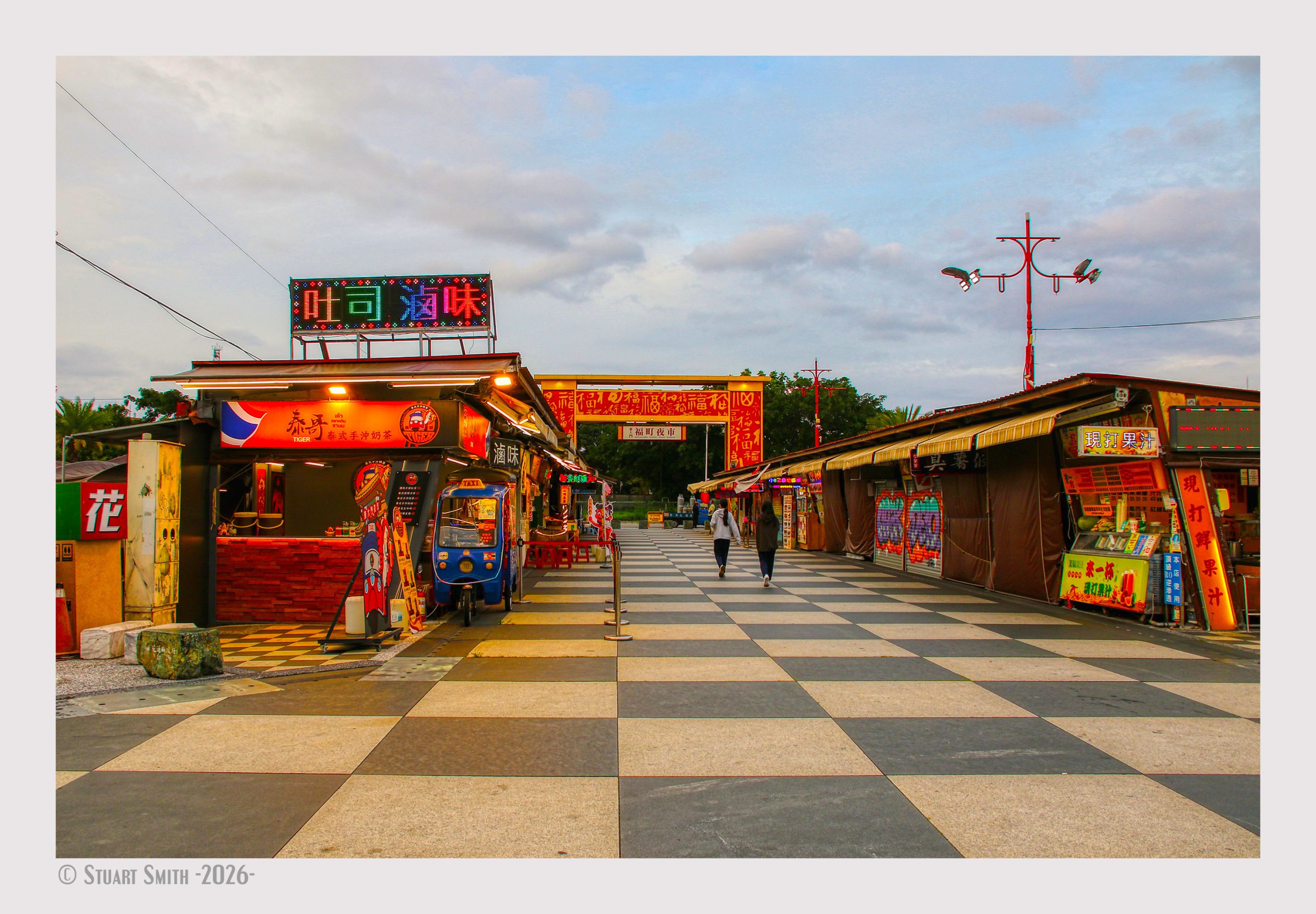 Lane 41, Markets, Zhongshan Road, Hualien City. Hualein County, Taiwan
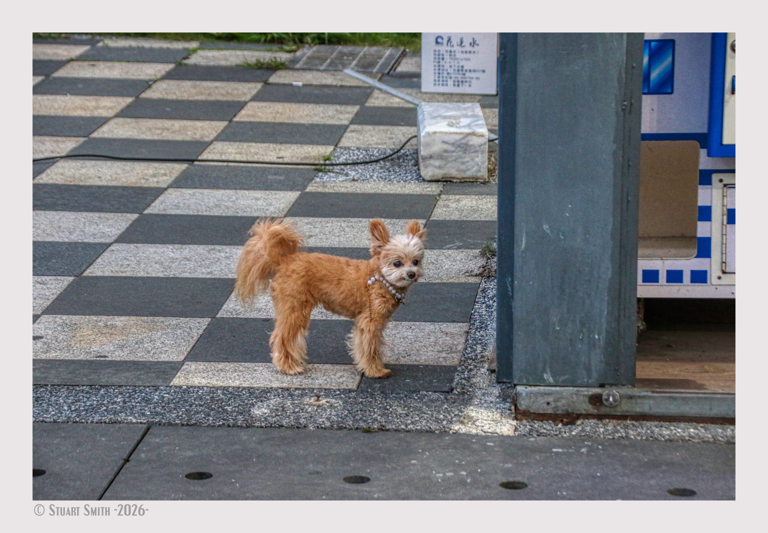 Pearly Dog, Zhongshan Road, Minzhu Village, Hualien City, Hualien County, Taiwan
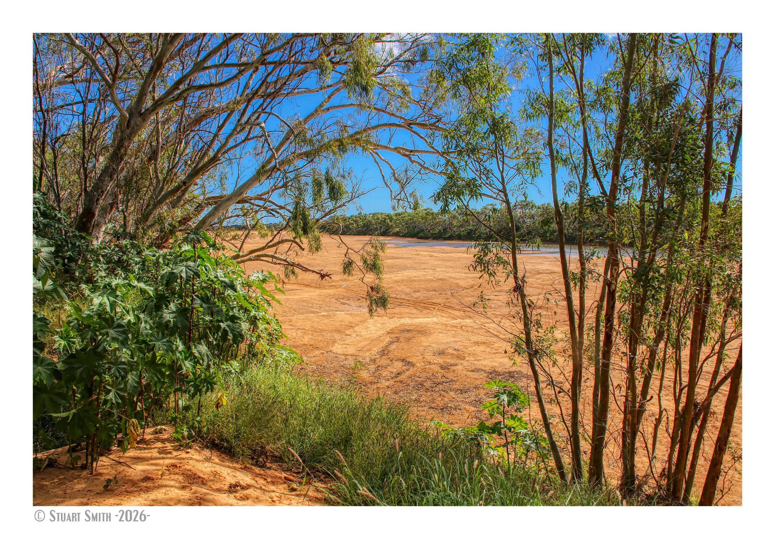
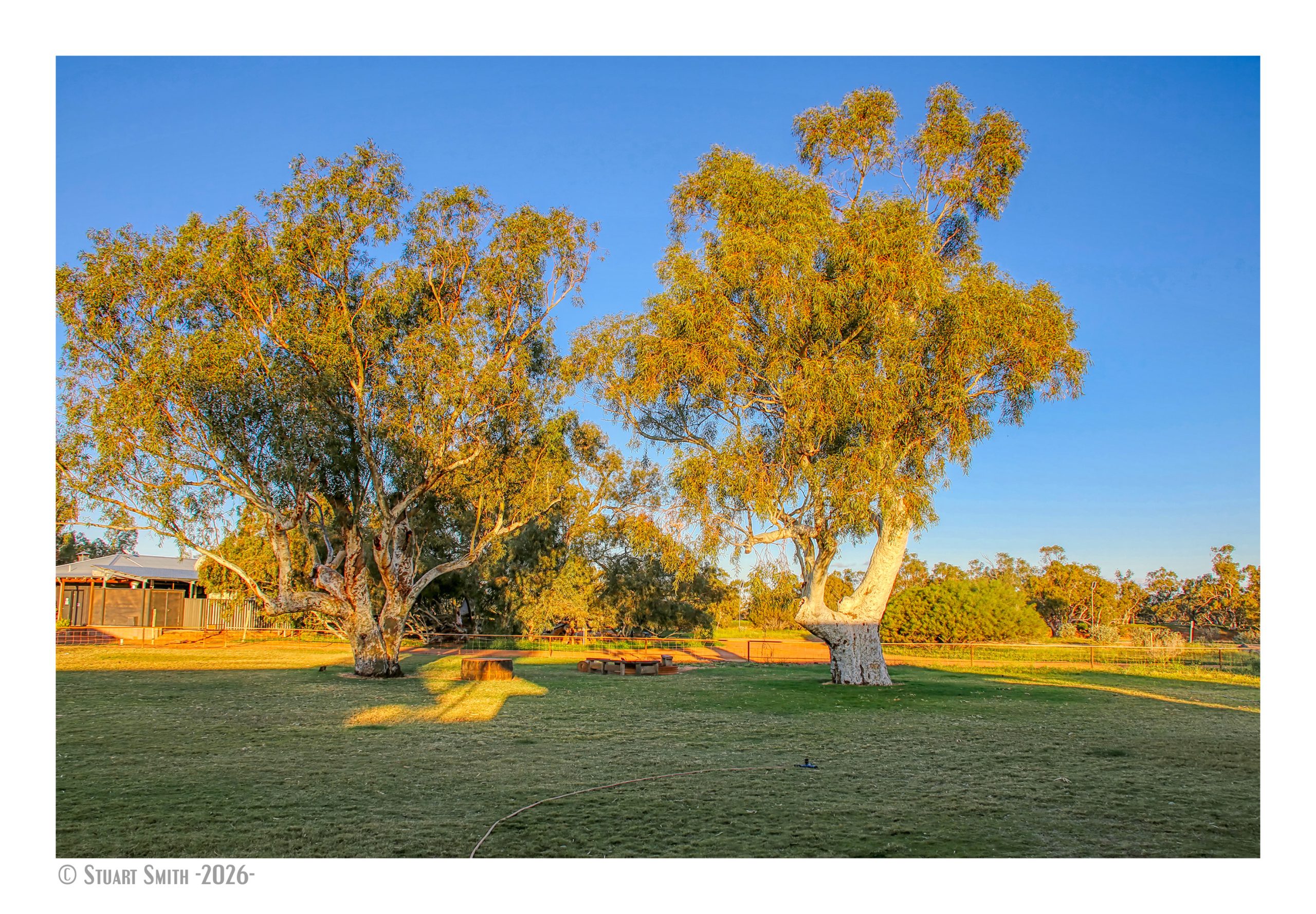
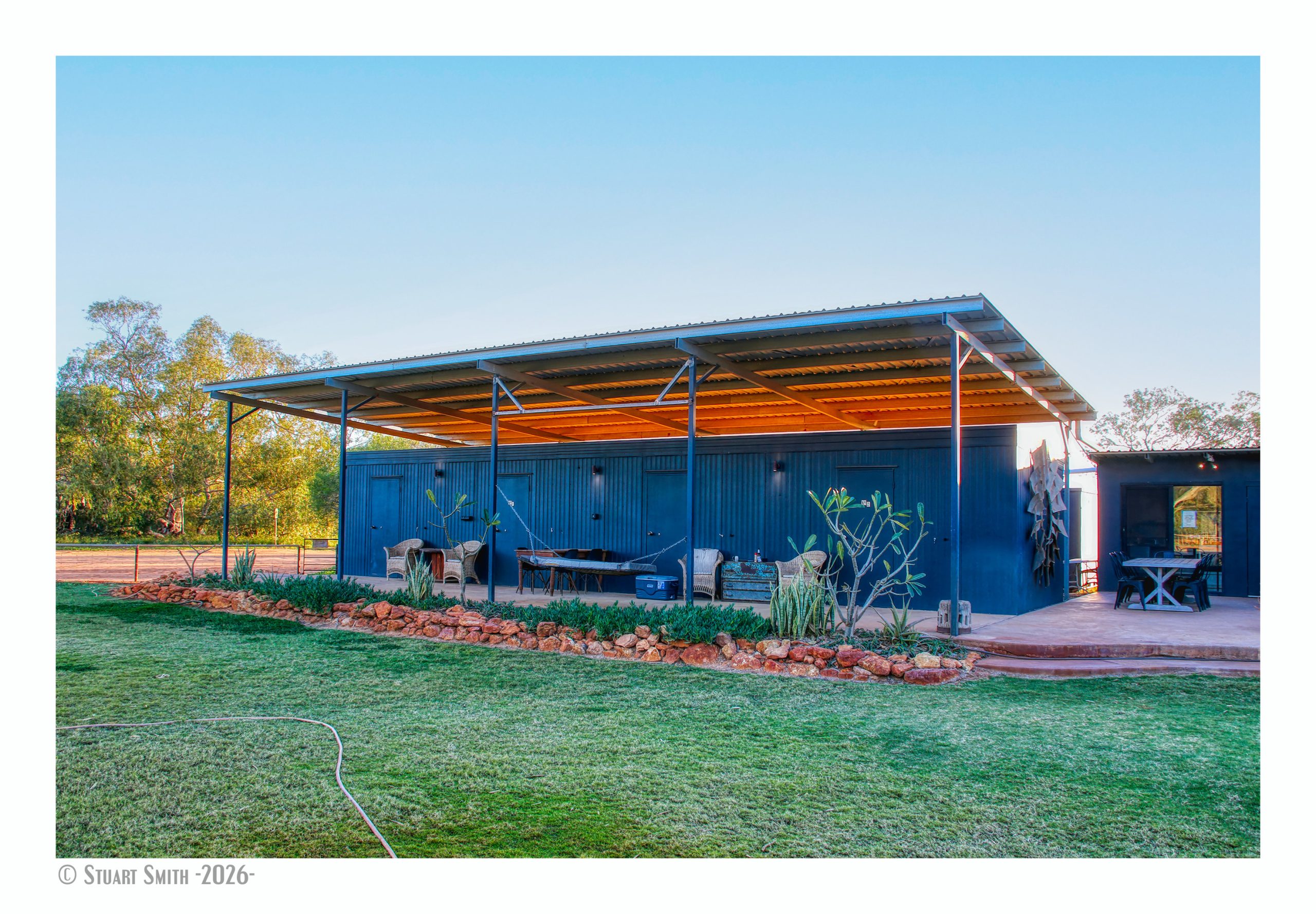
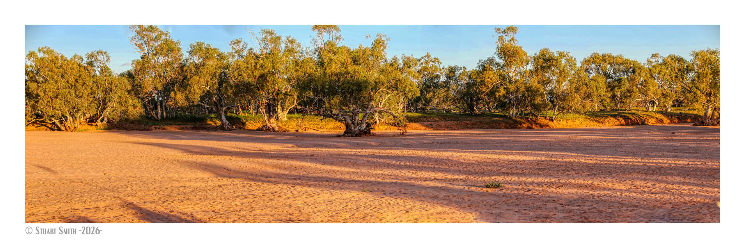
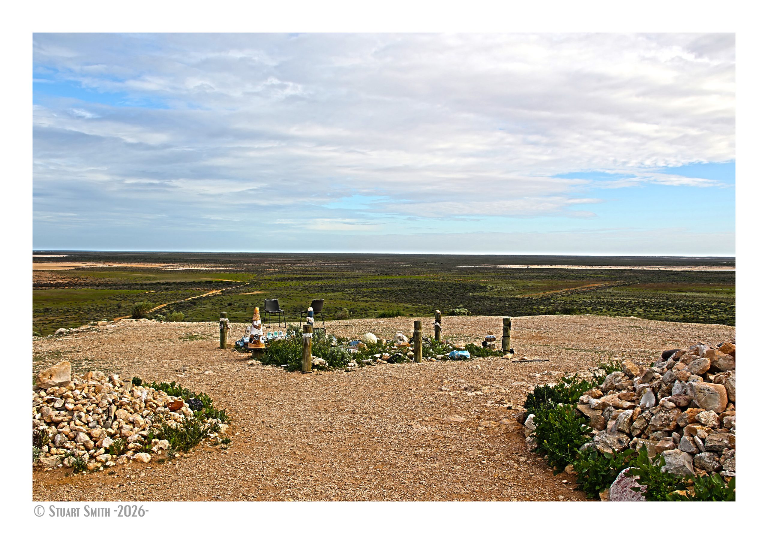
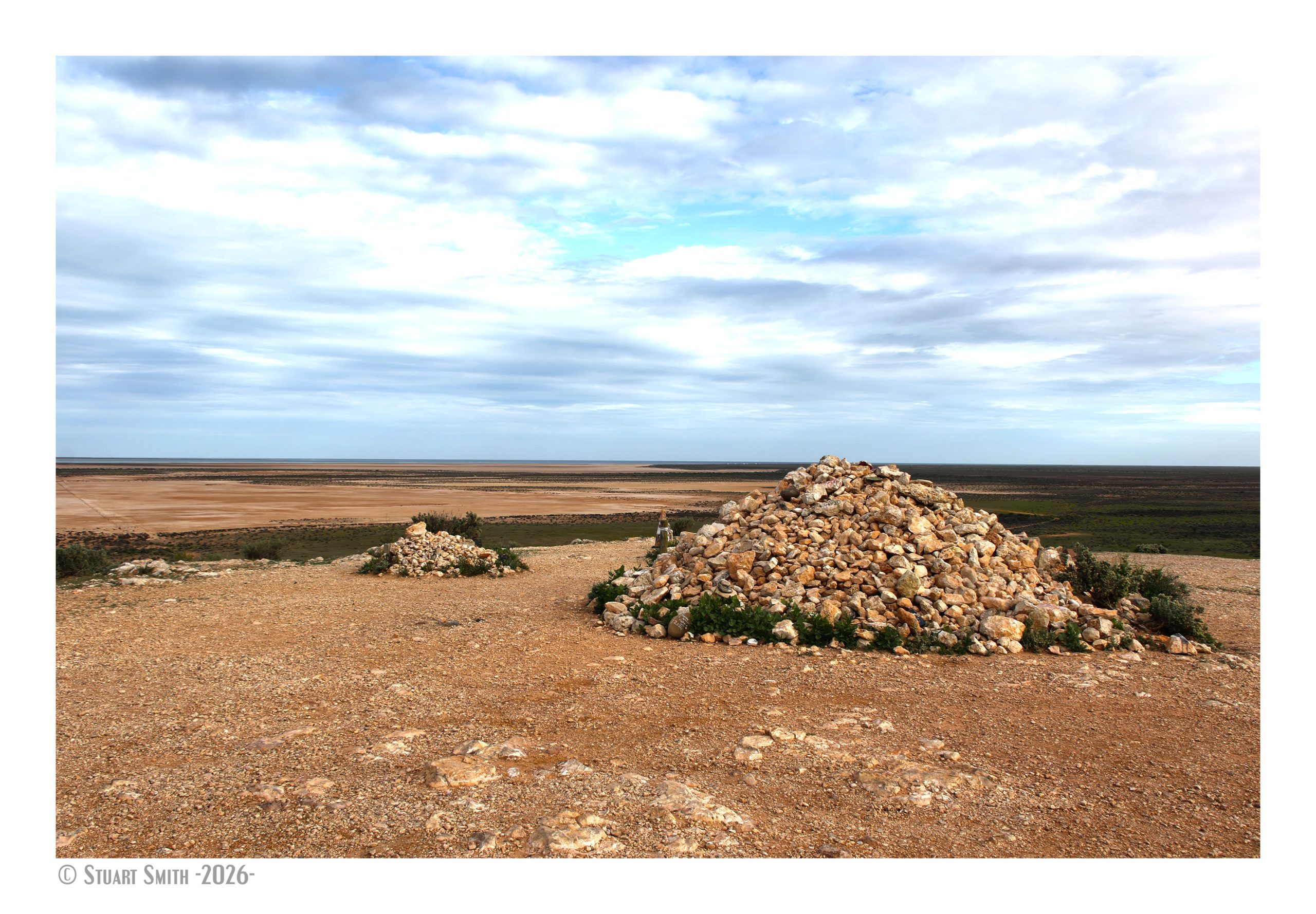
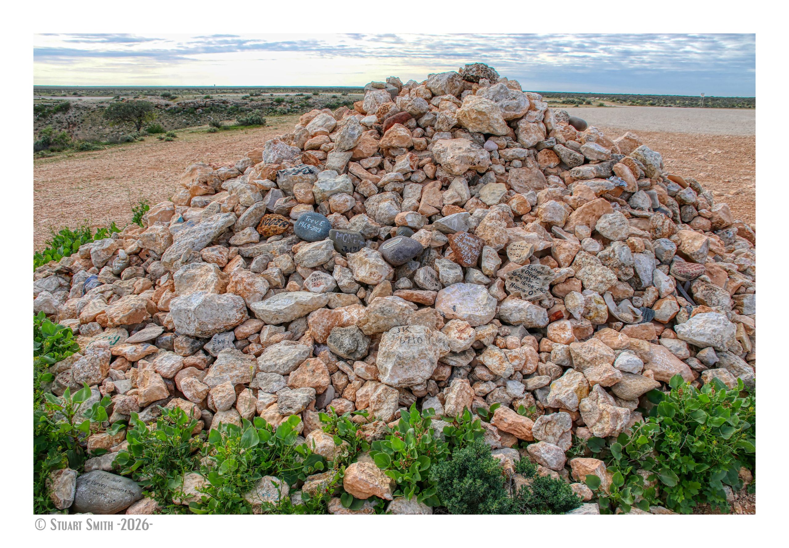
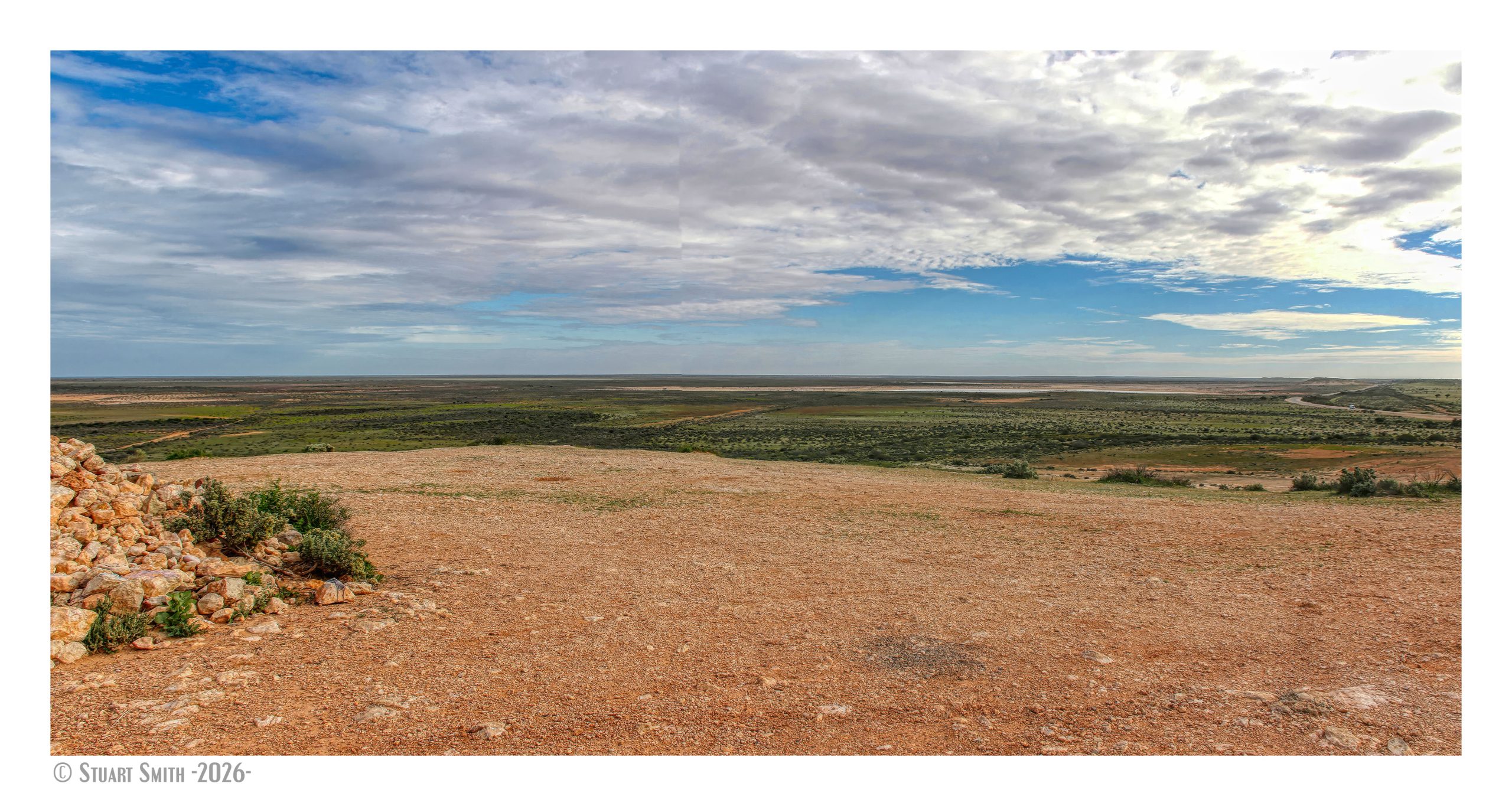
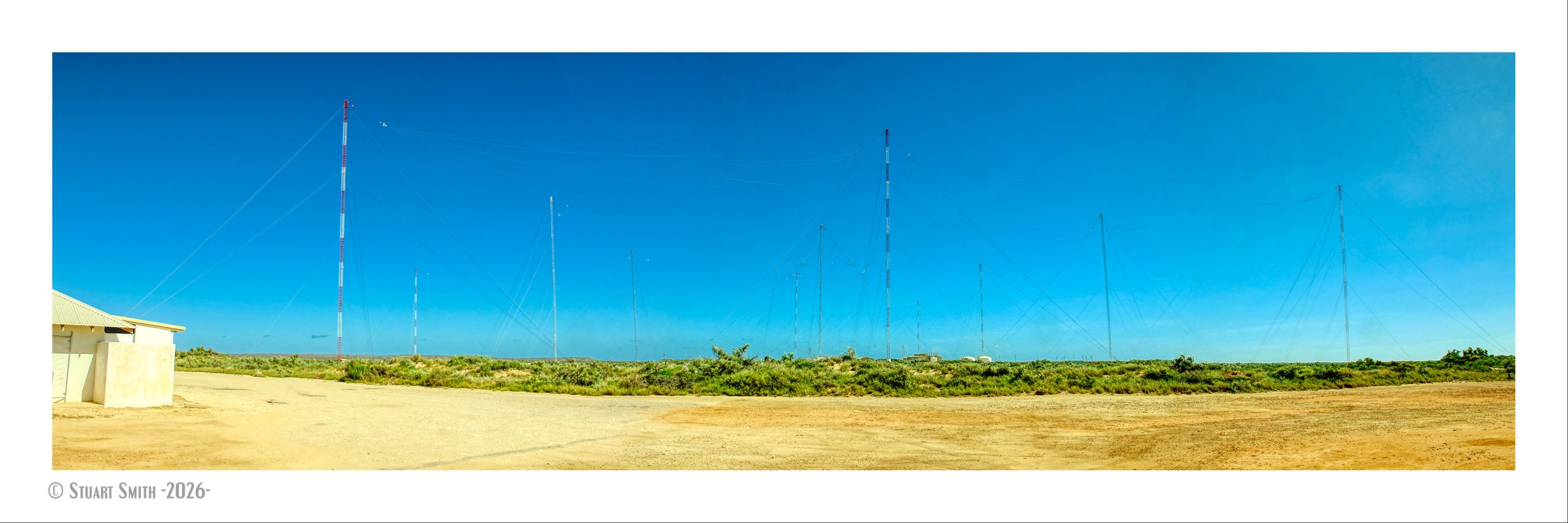
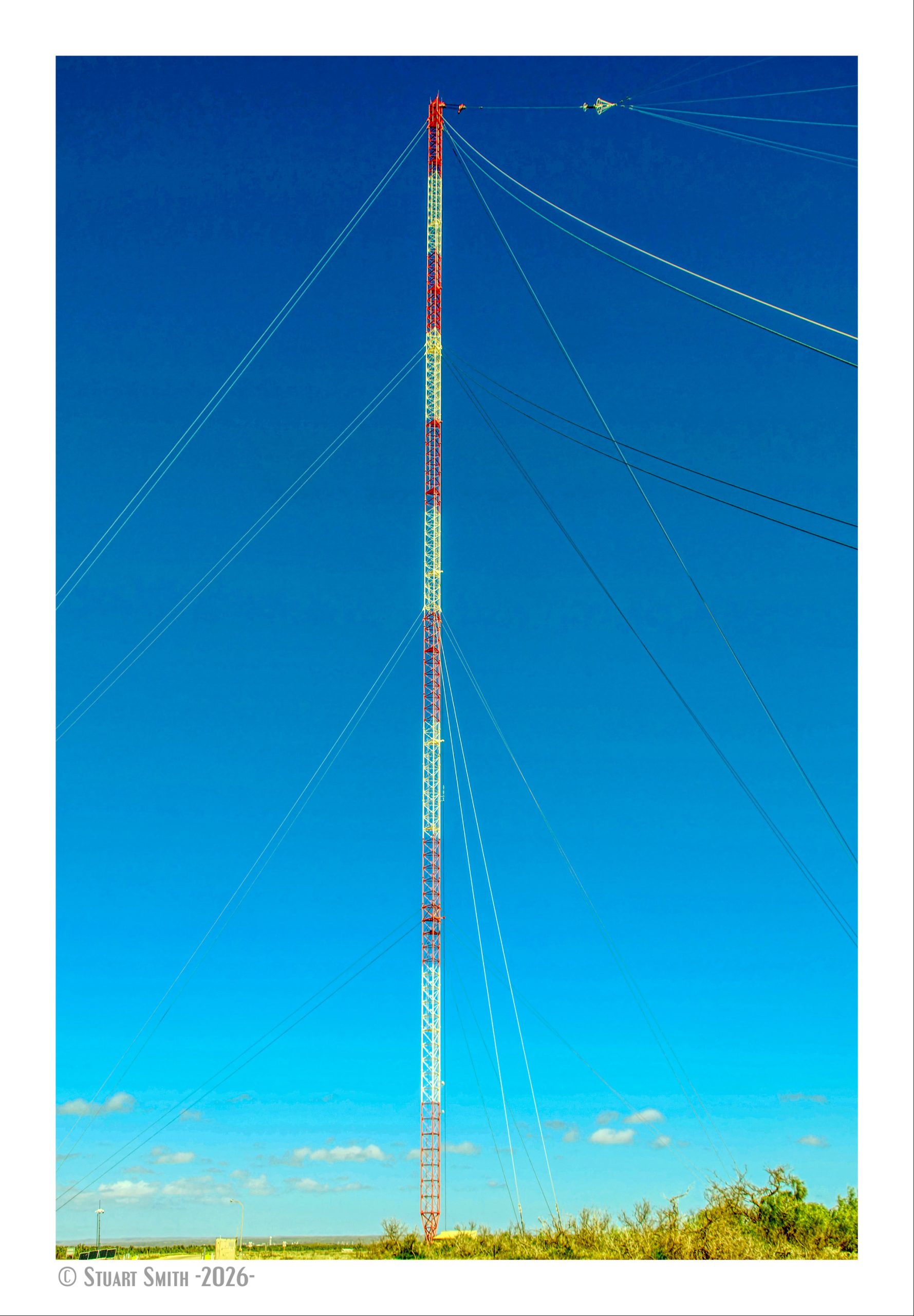
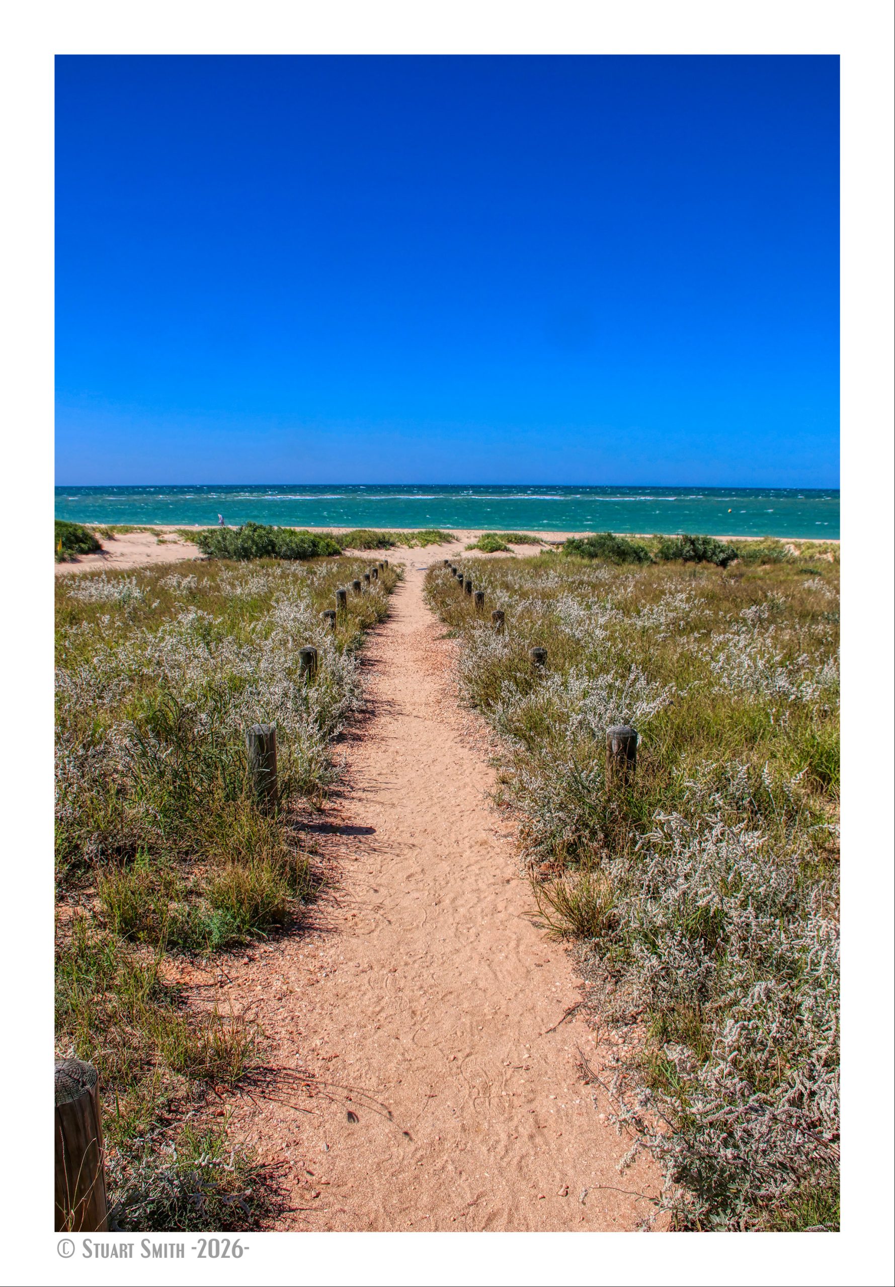
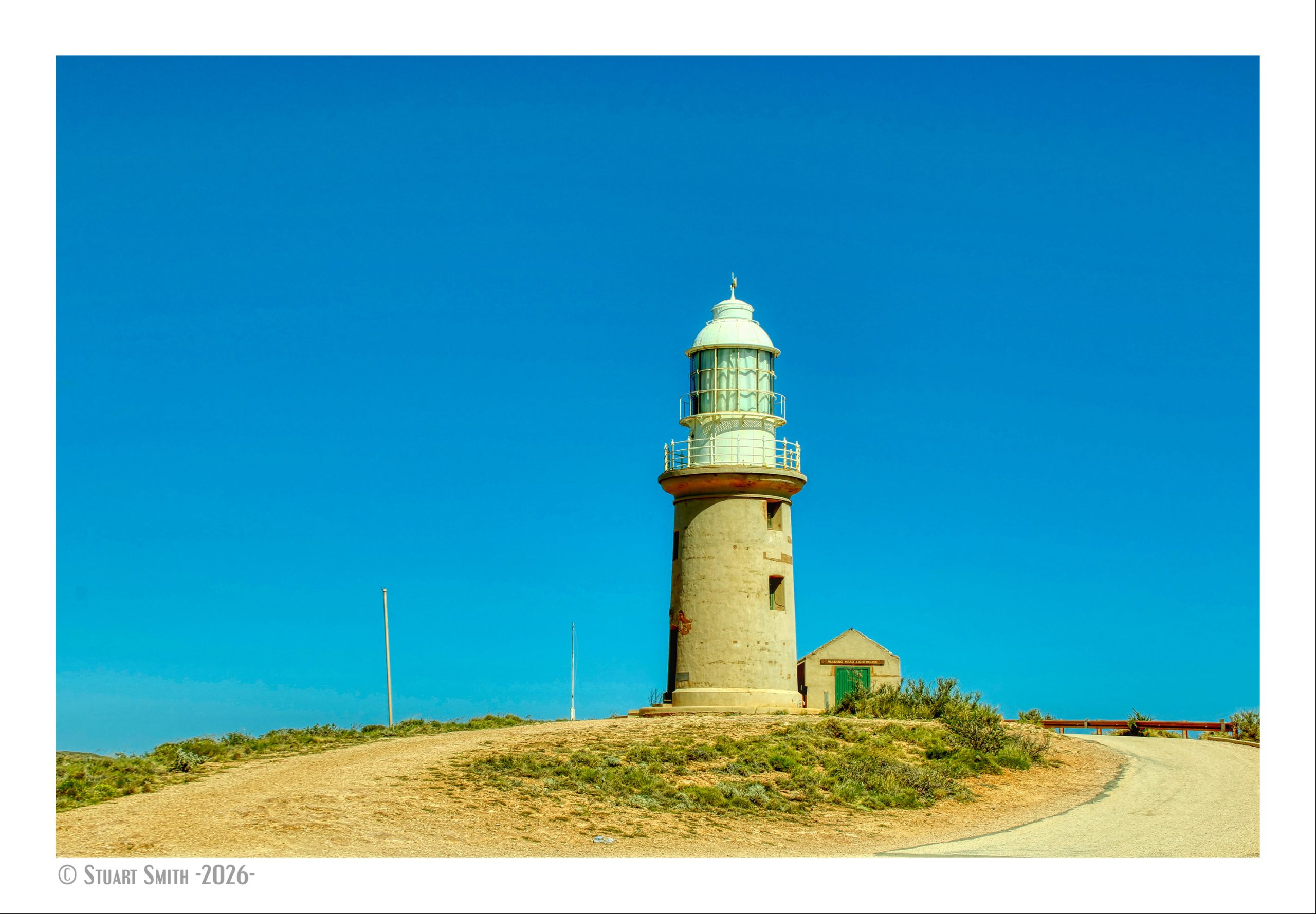
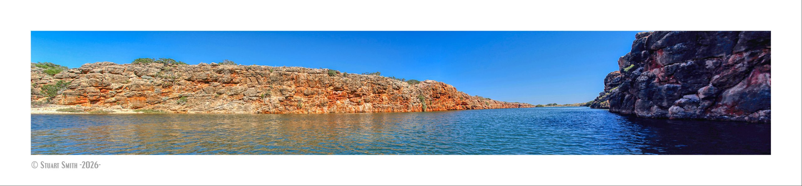
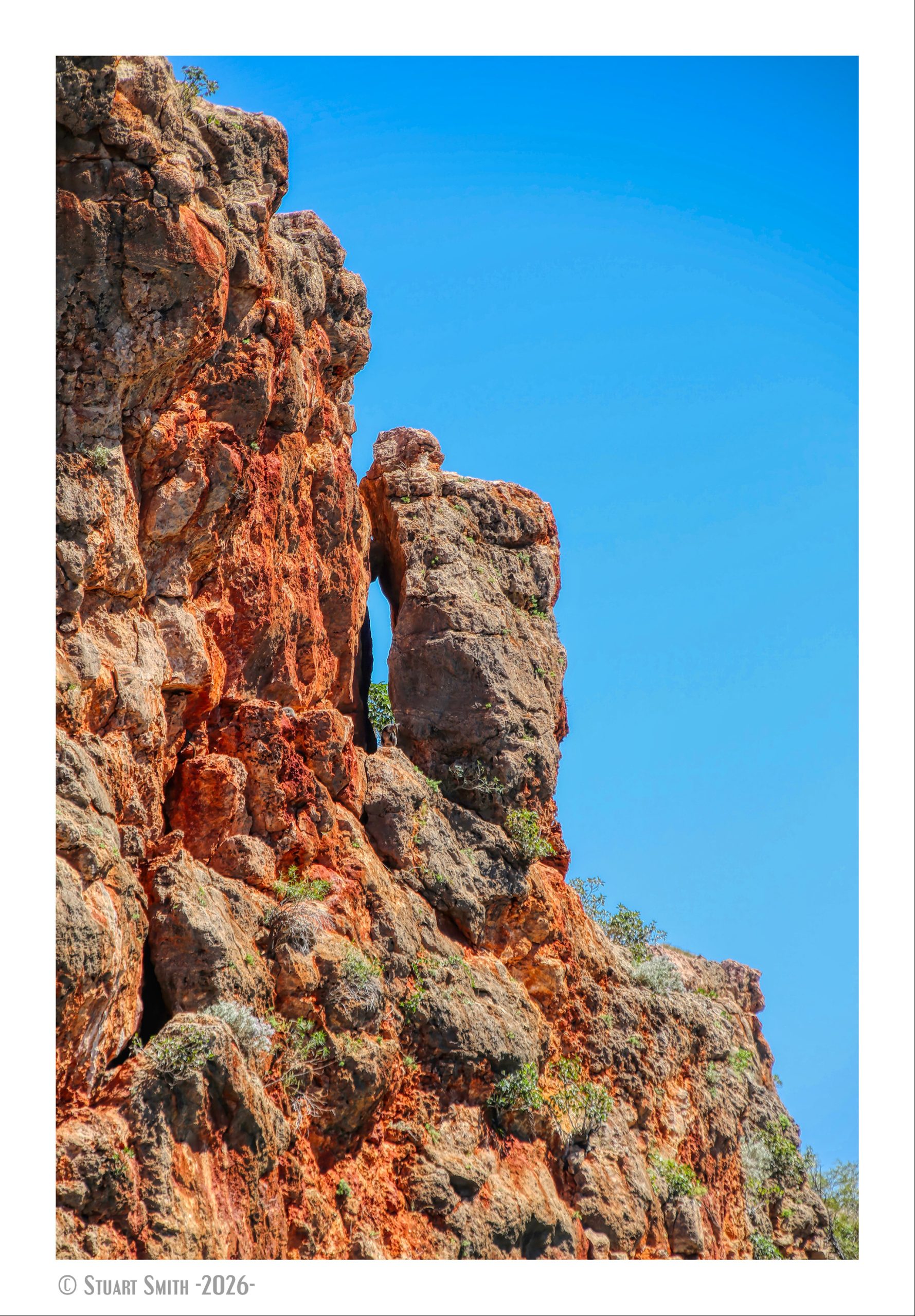
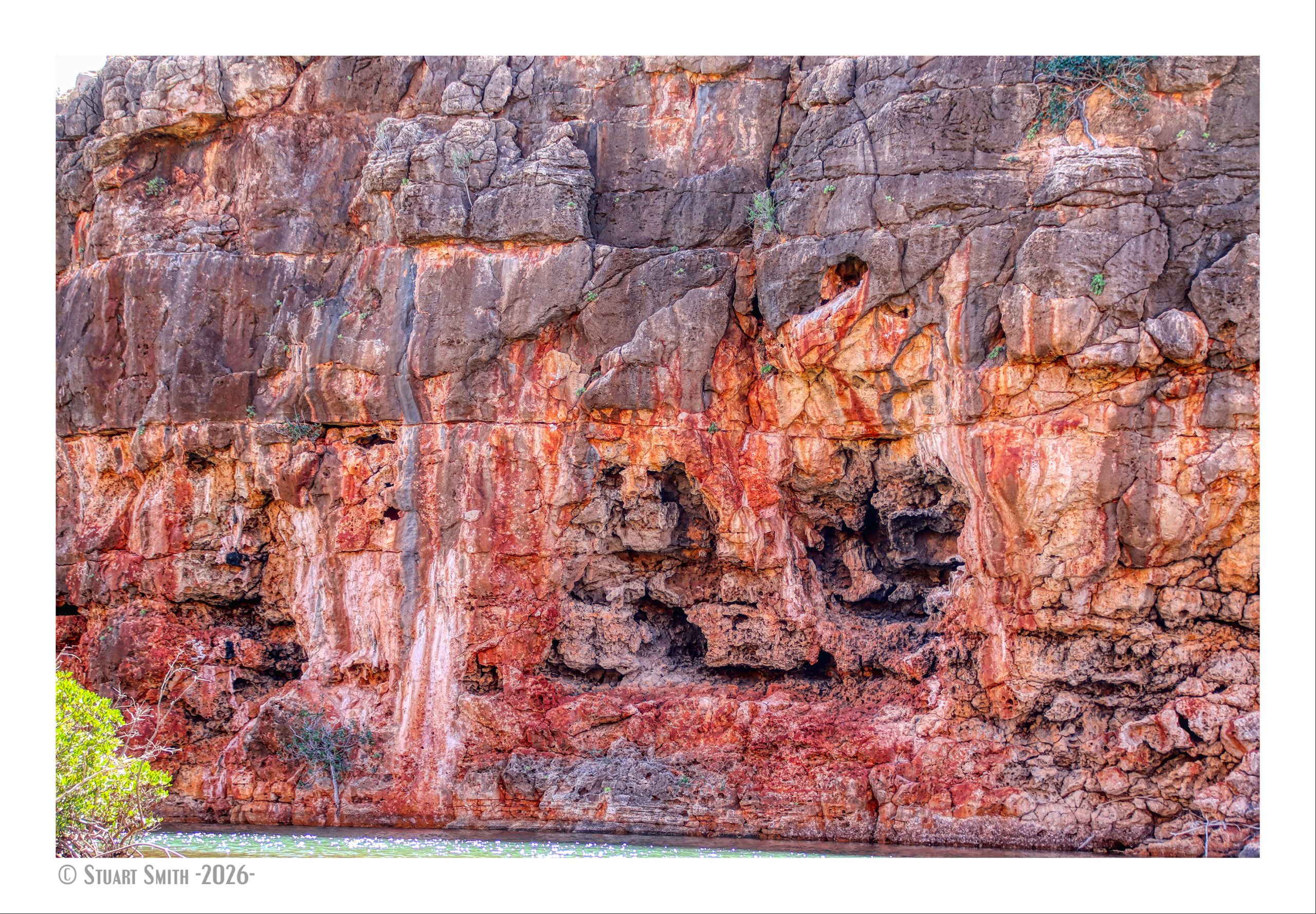
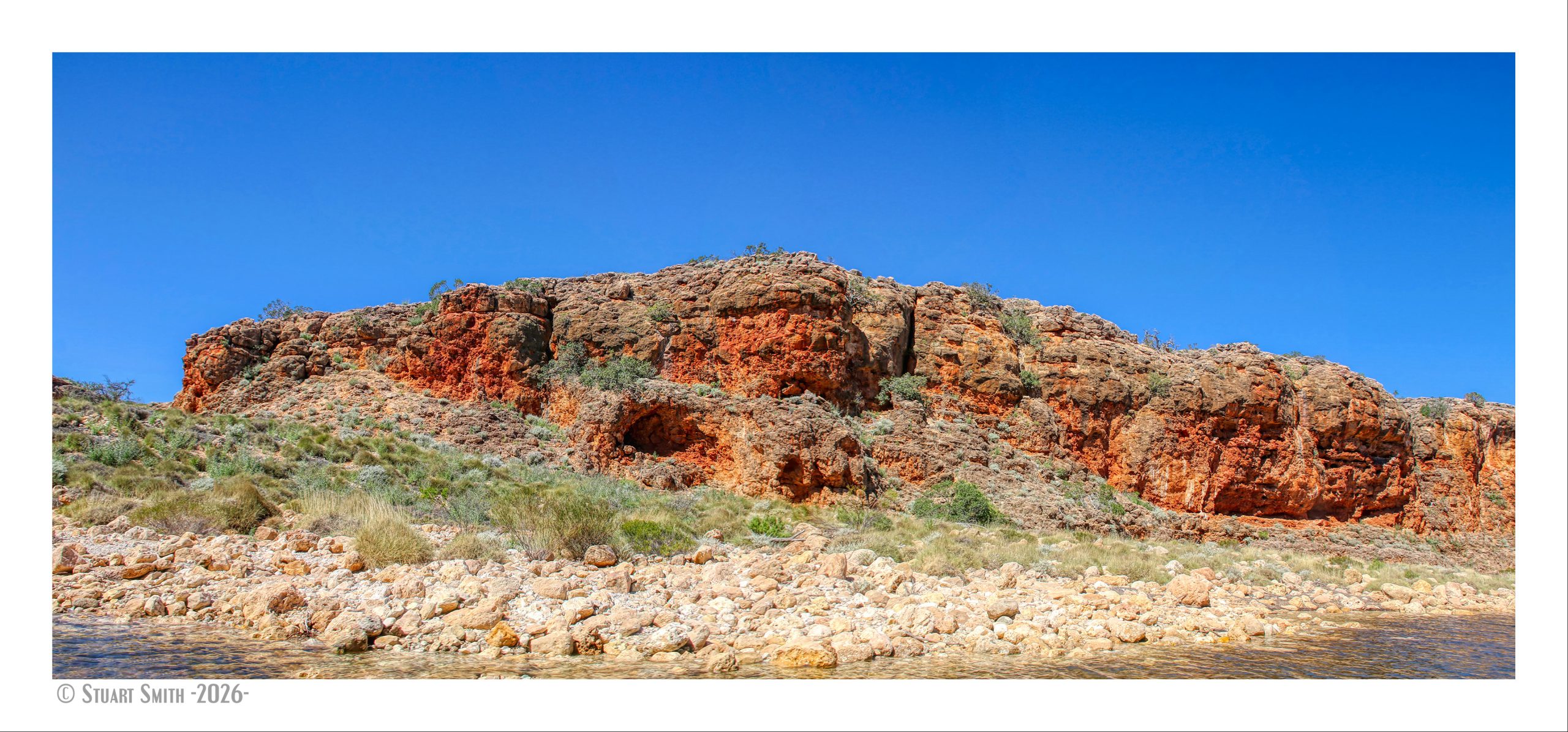
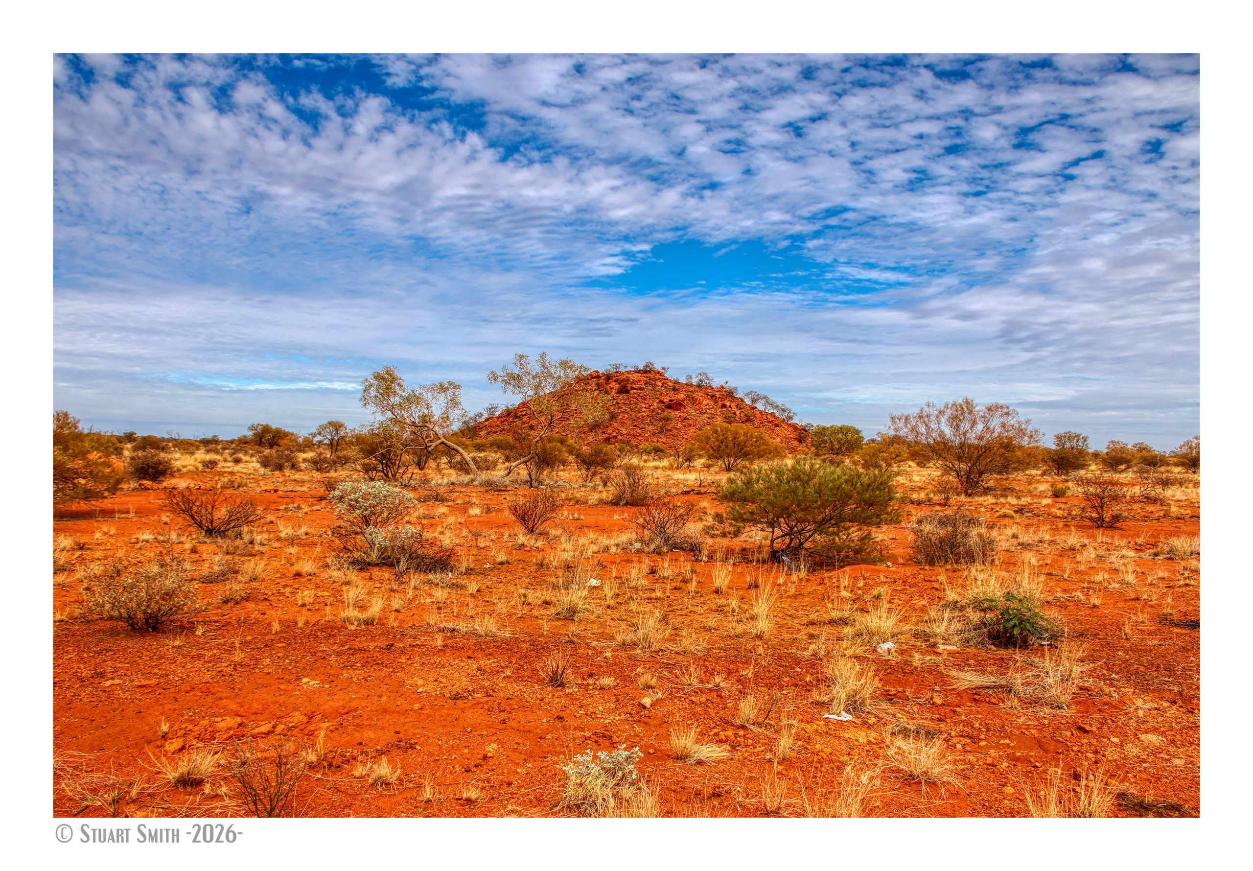
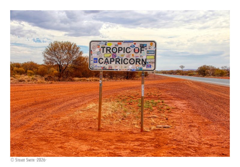 Tropic of Capricorn Sign, Great Northern Highway, Newman, Western Australia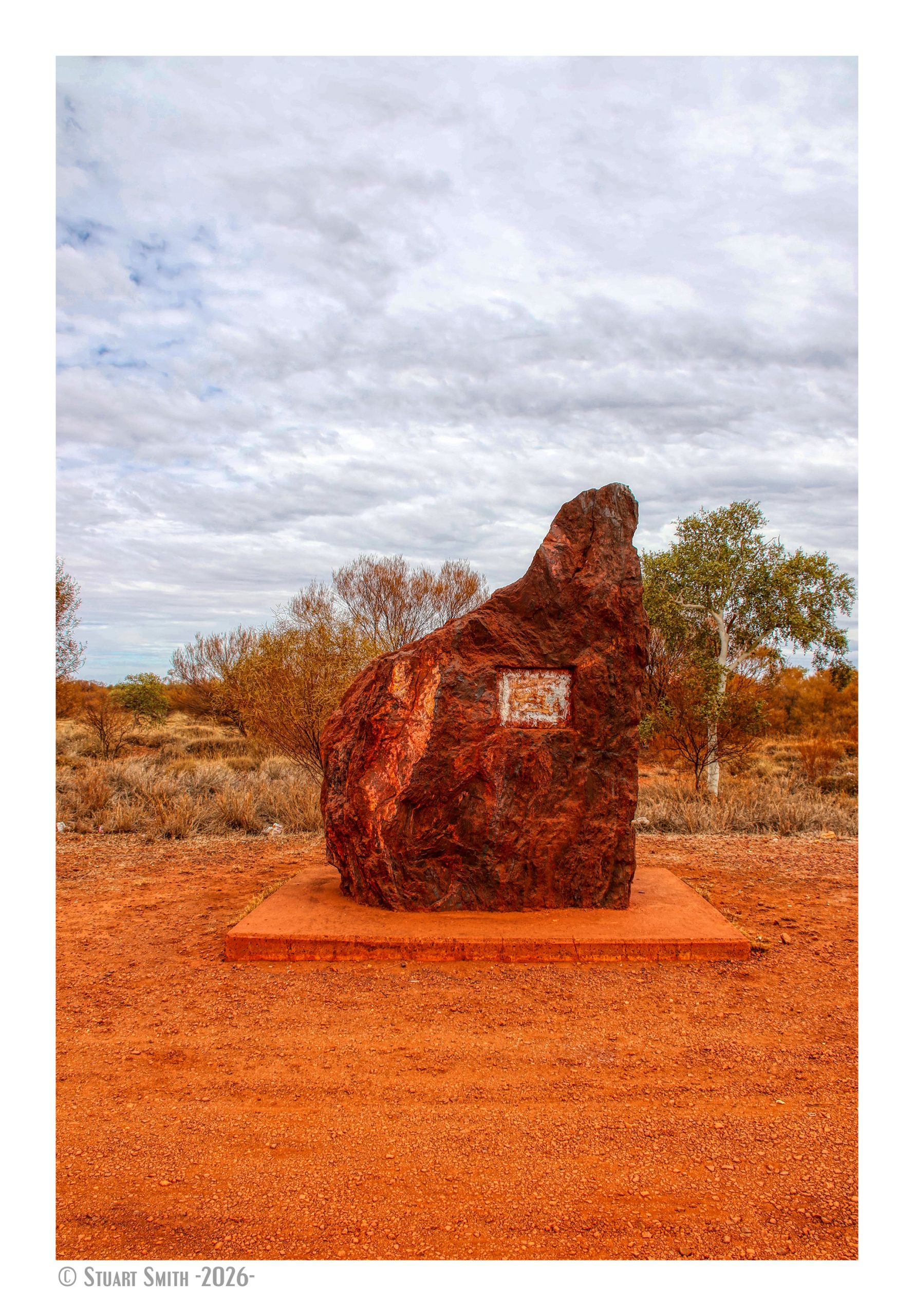
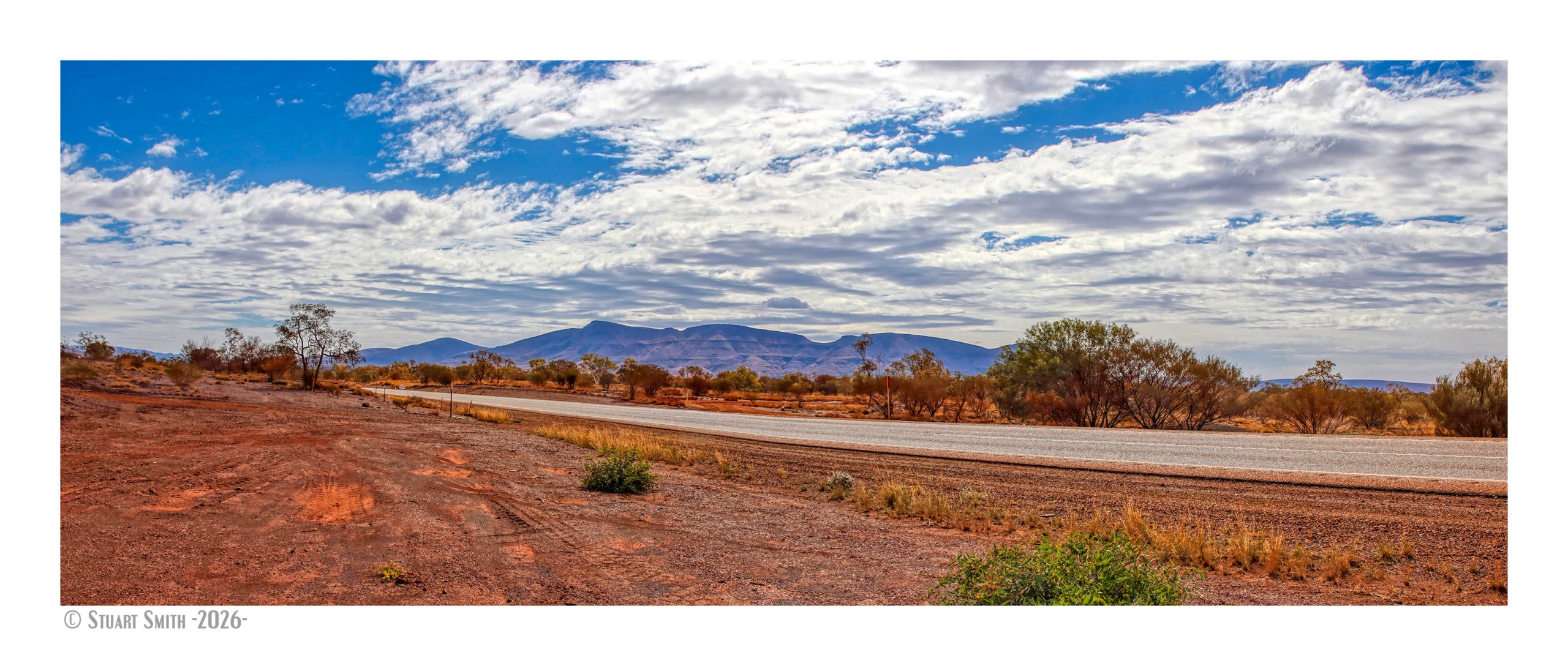
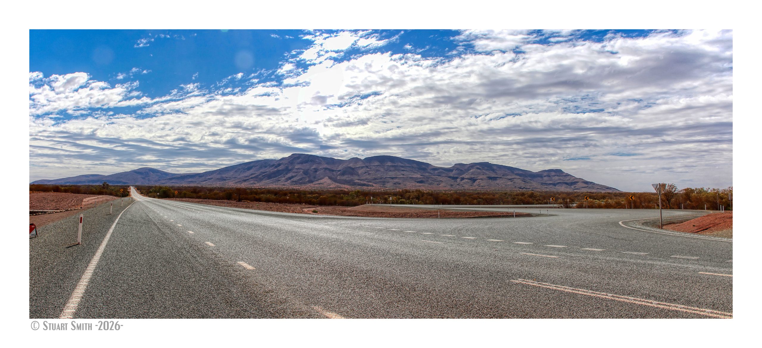
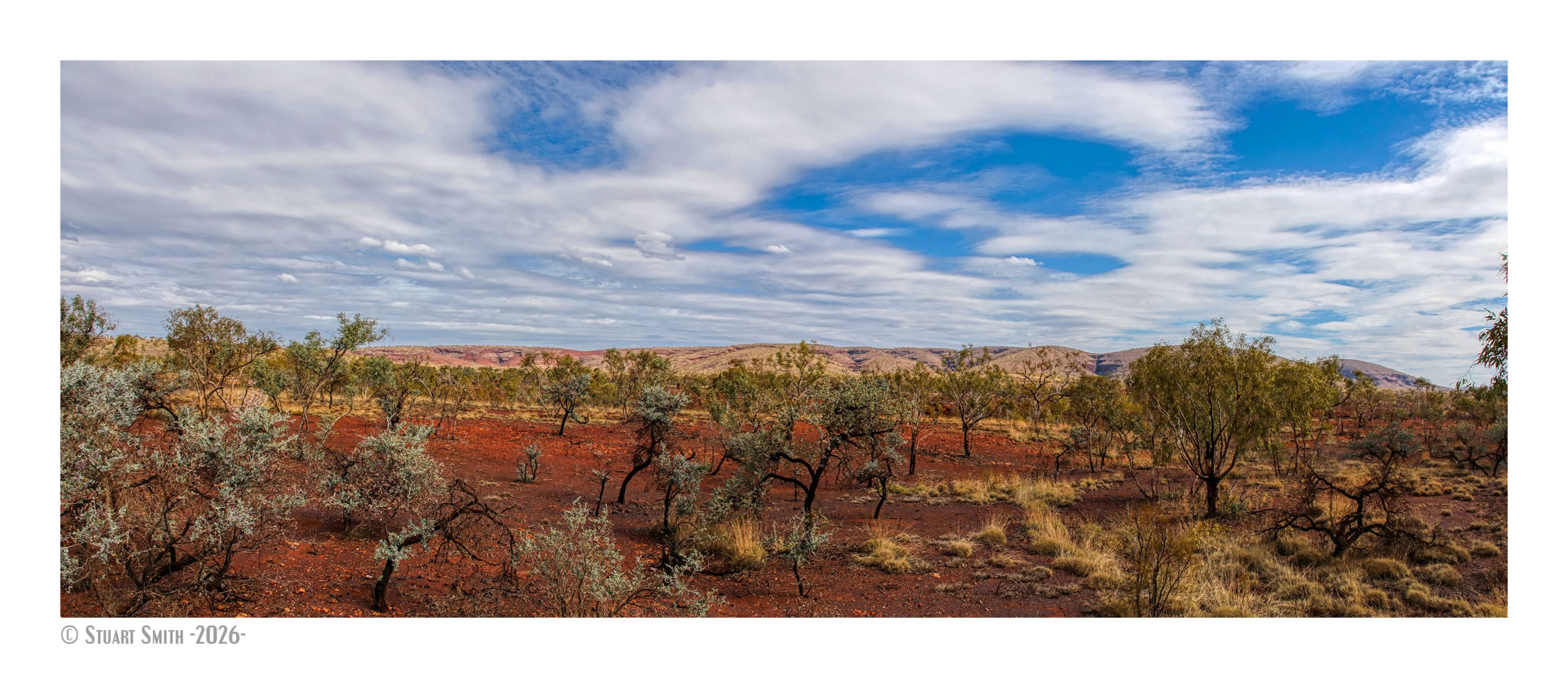
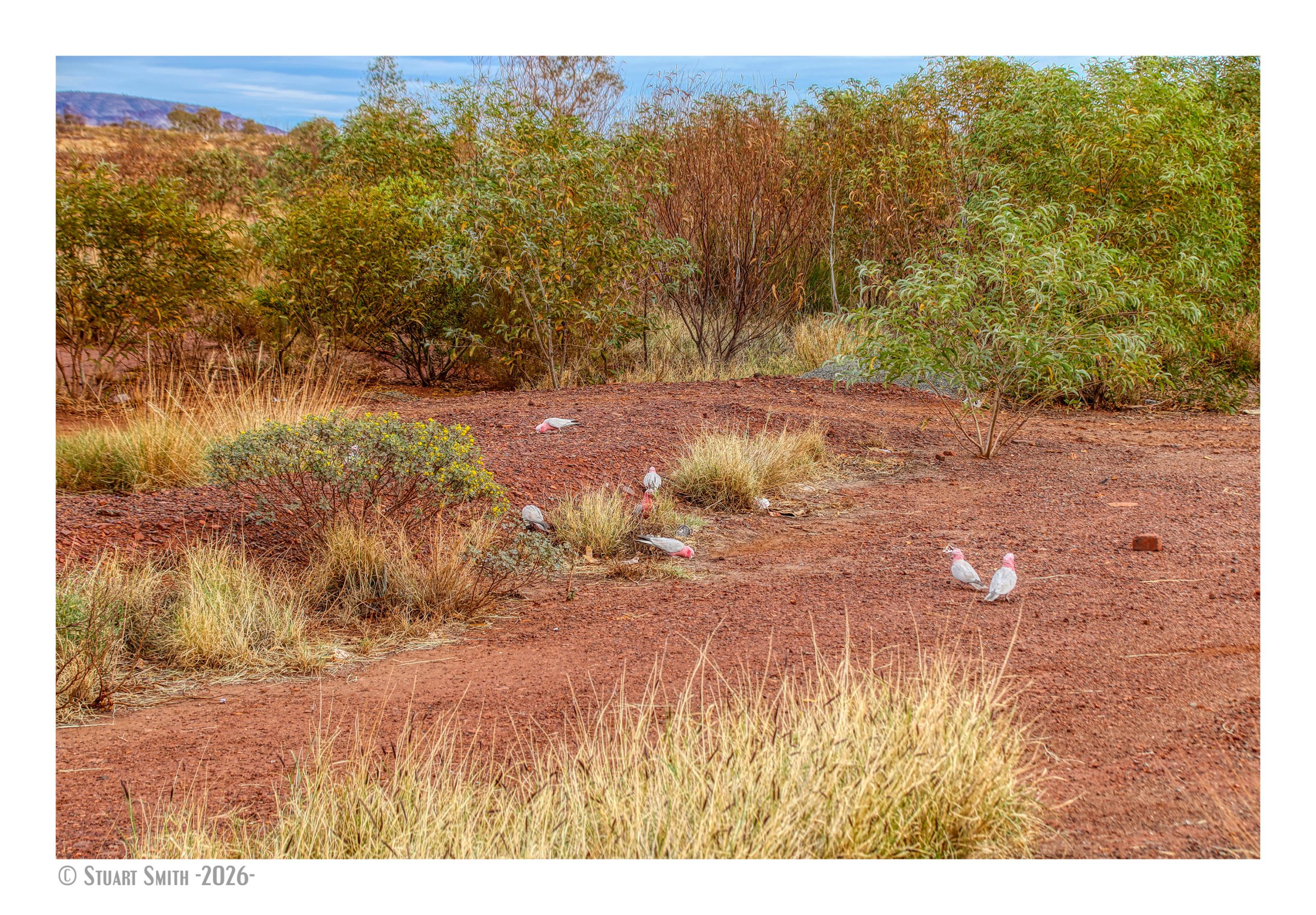
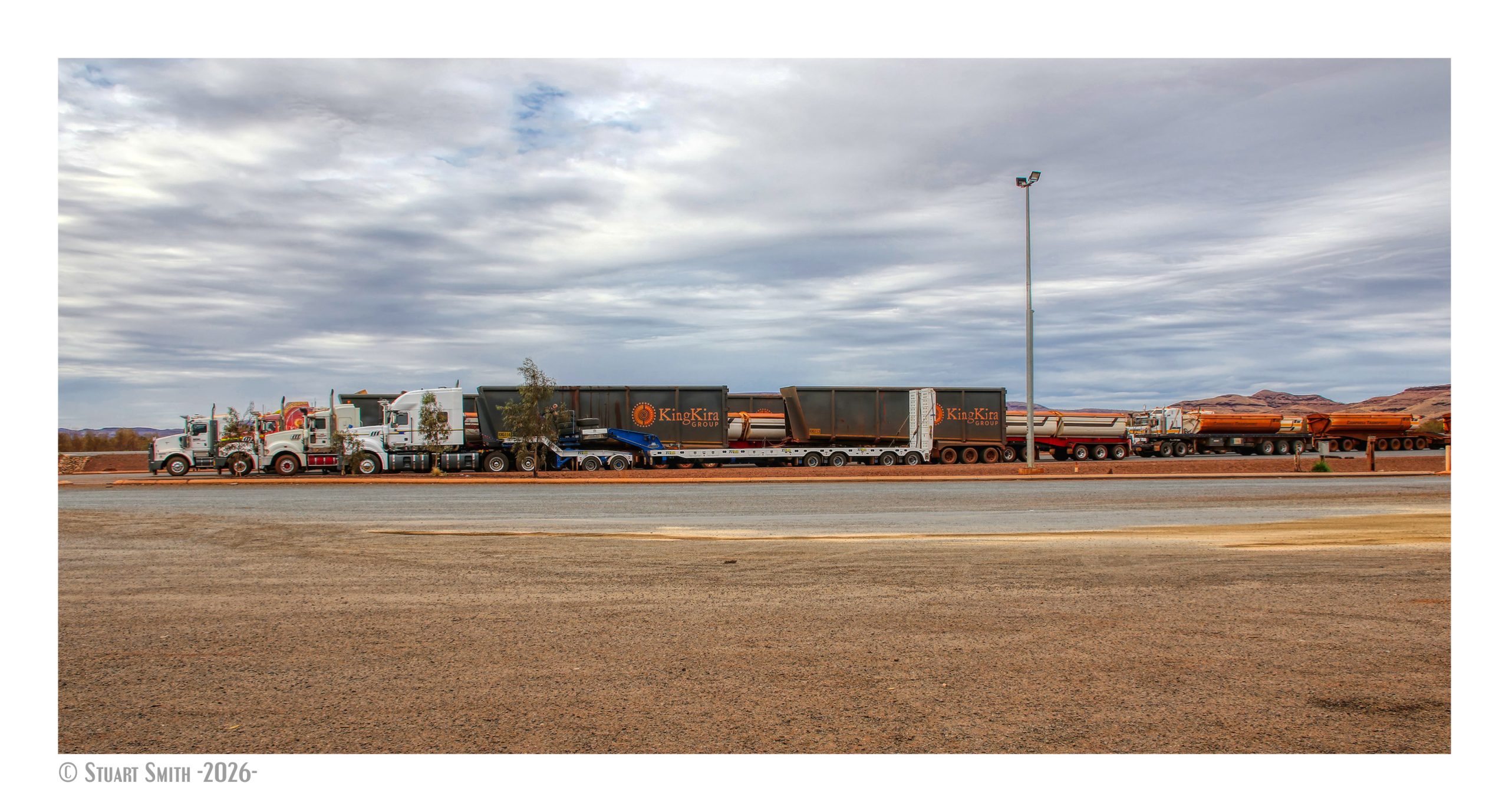
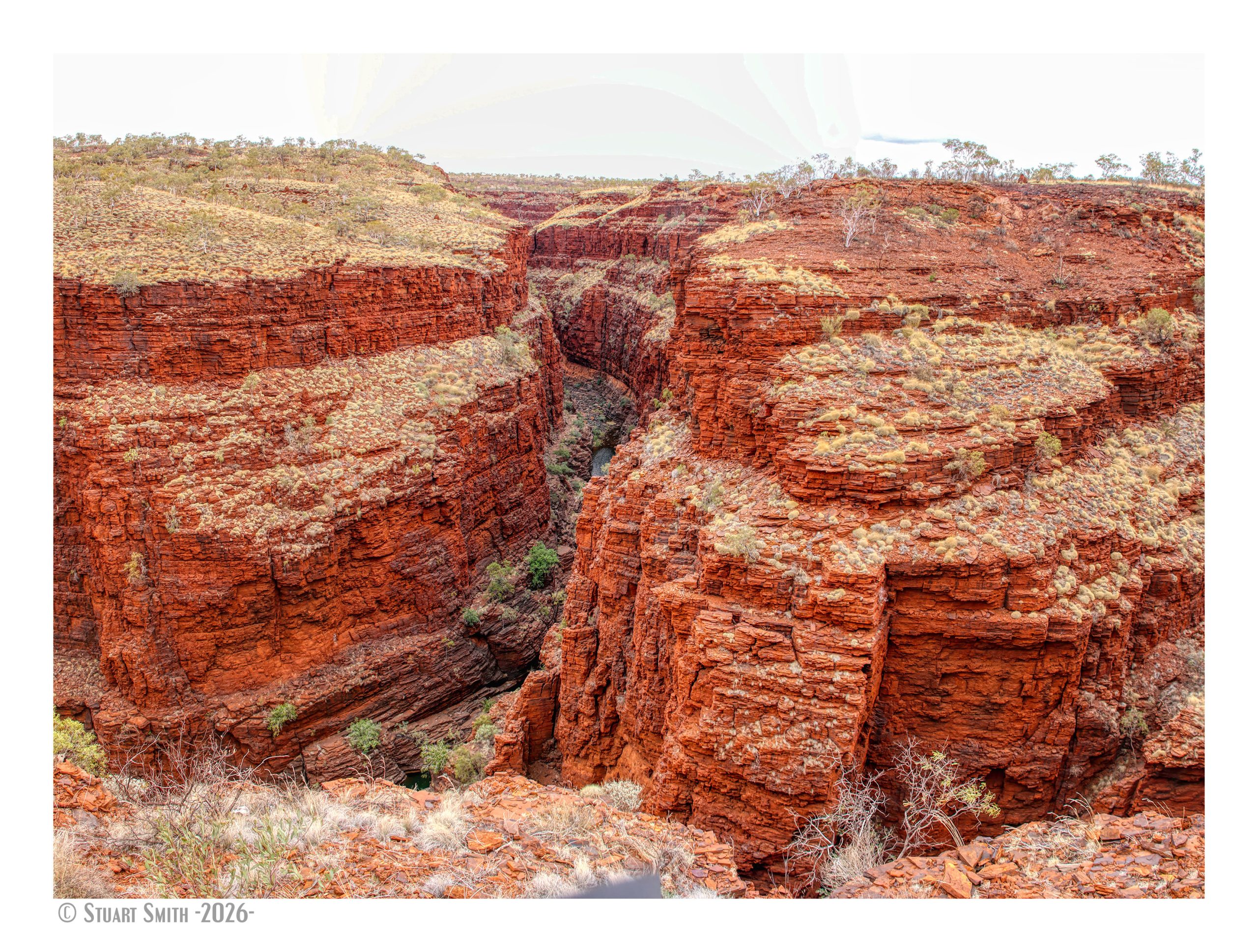
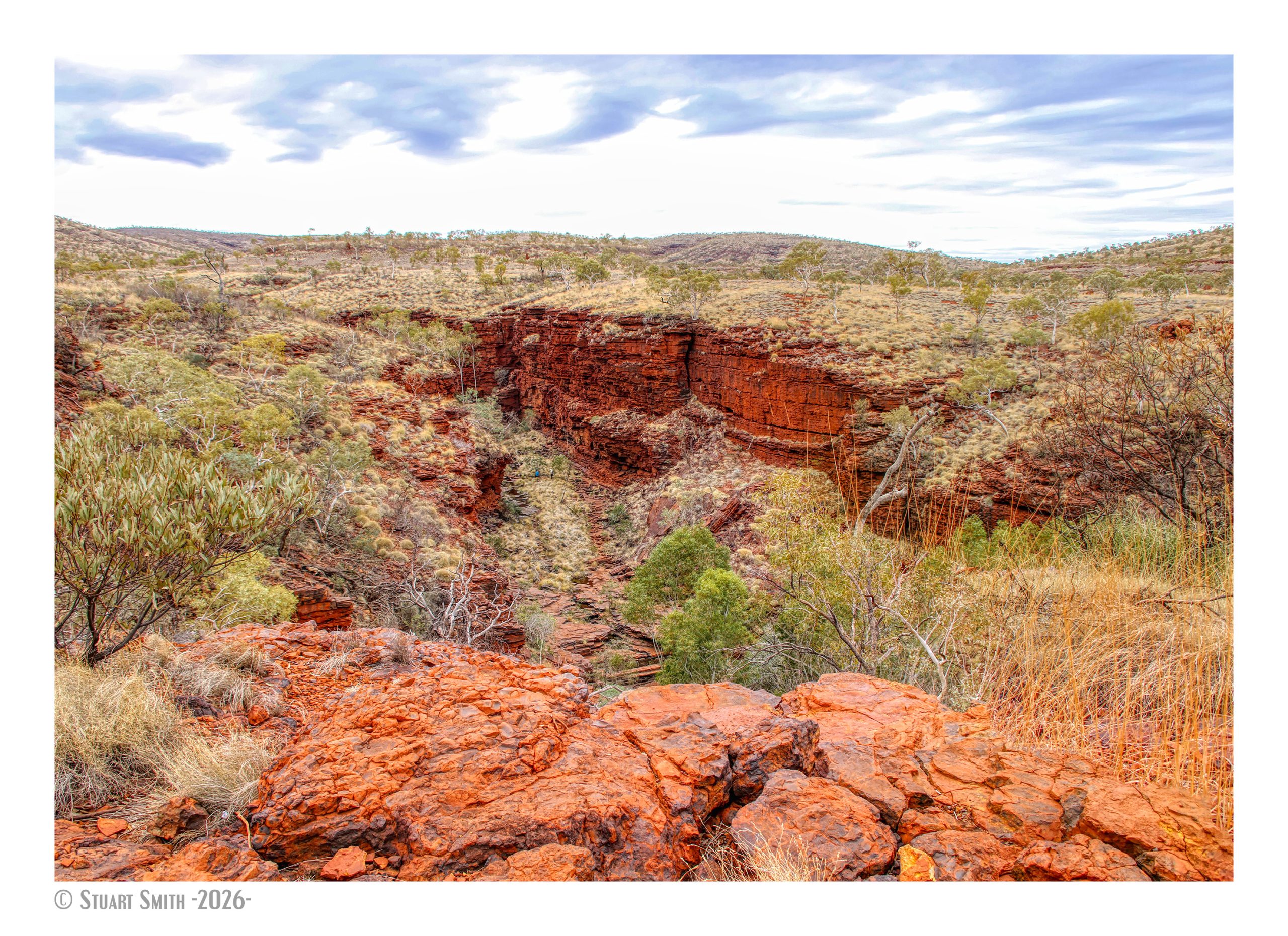
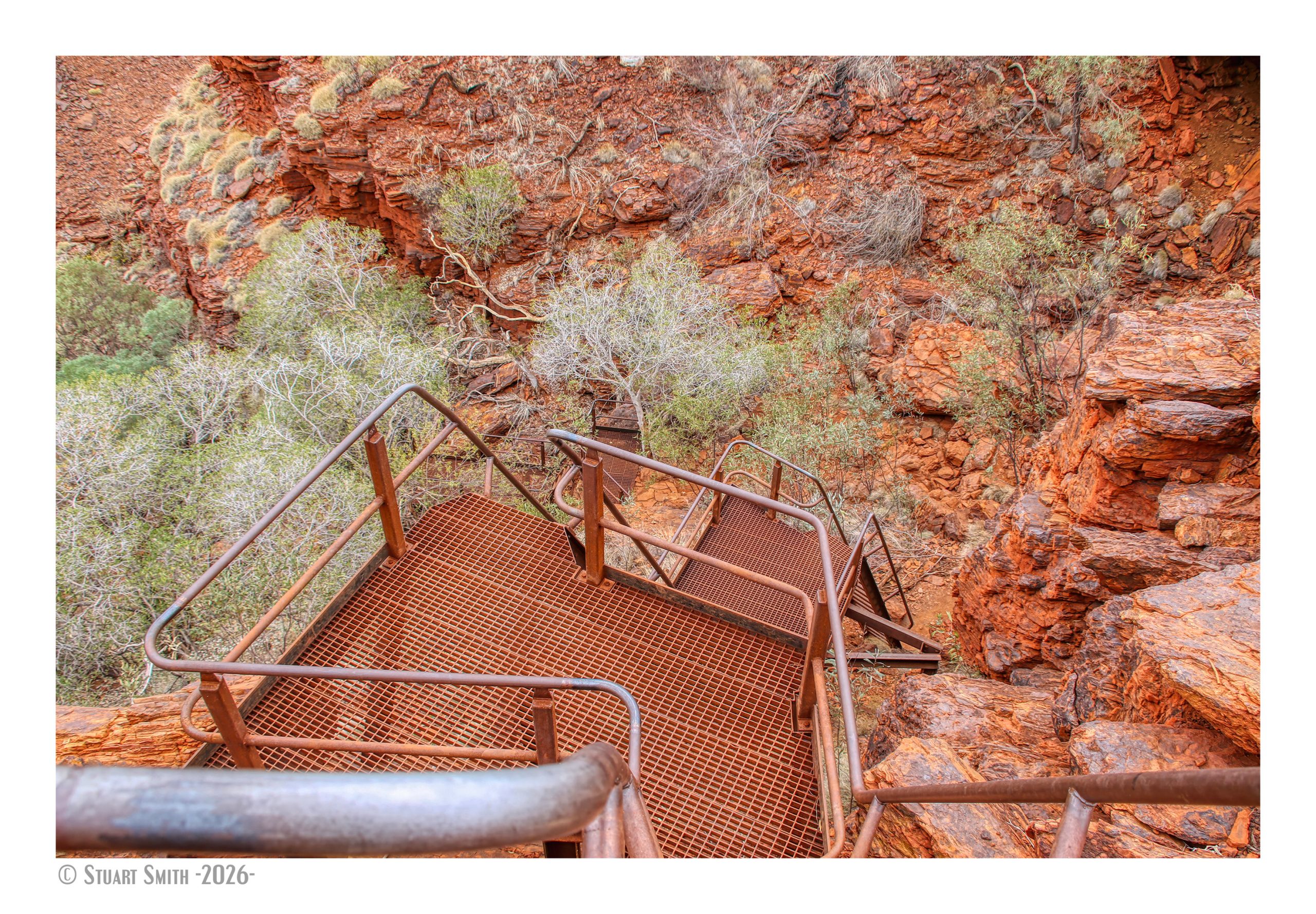
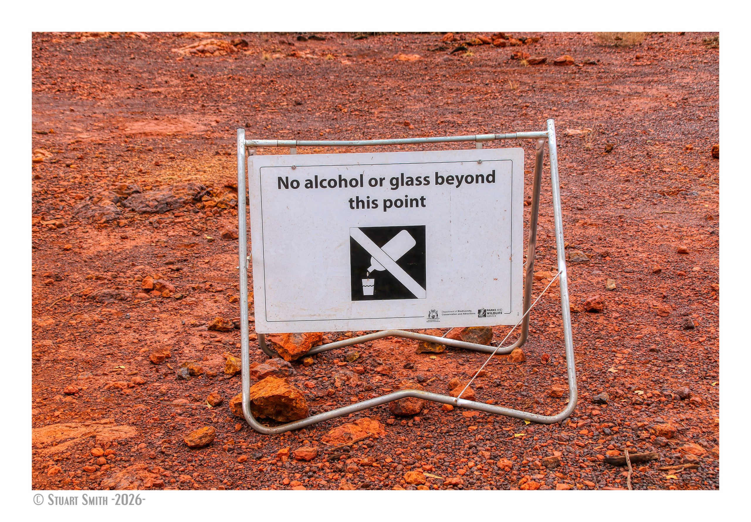
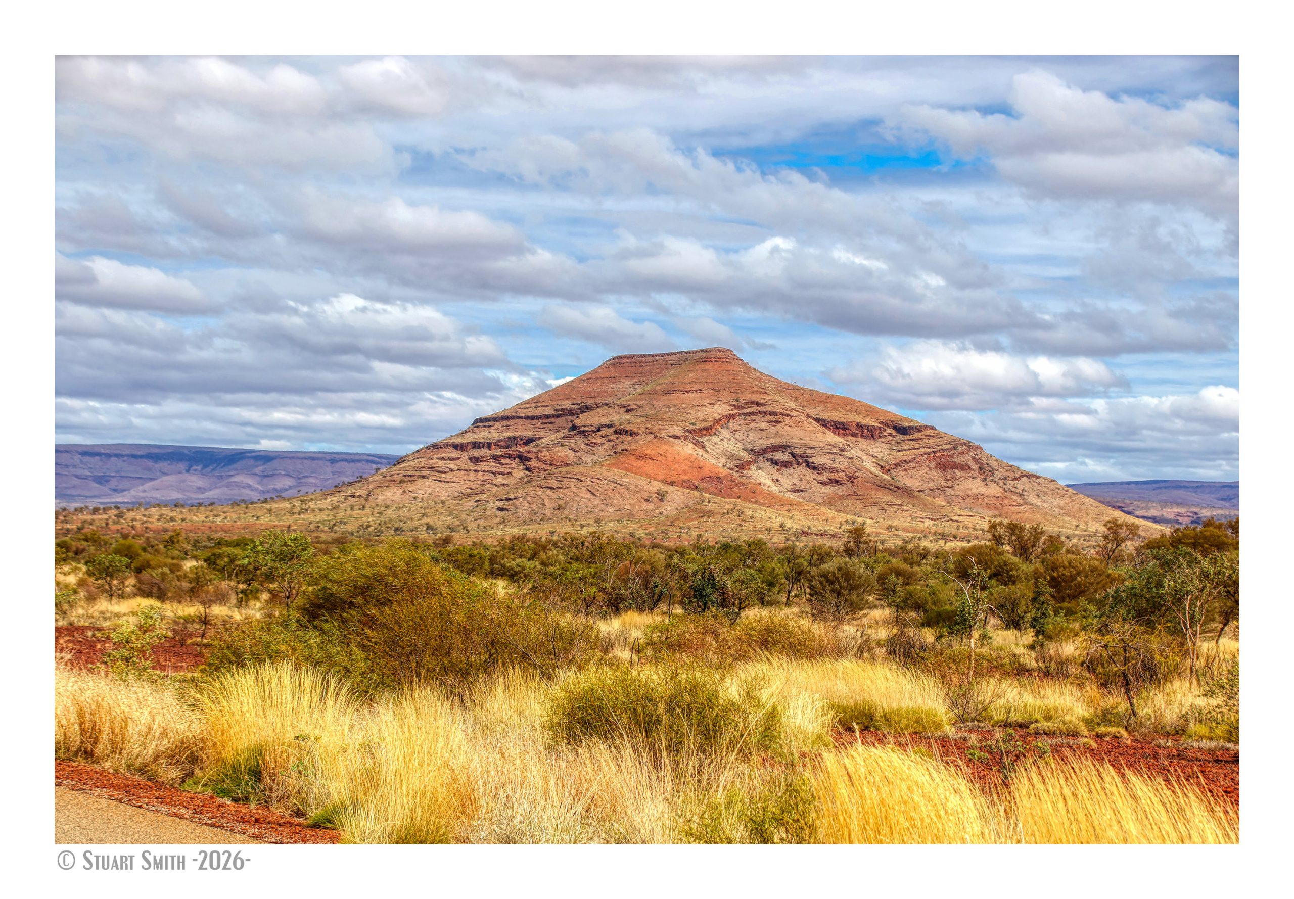
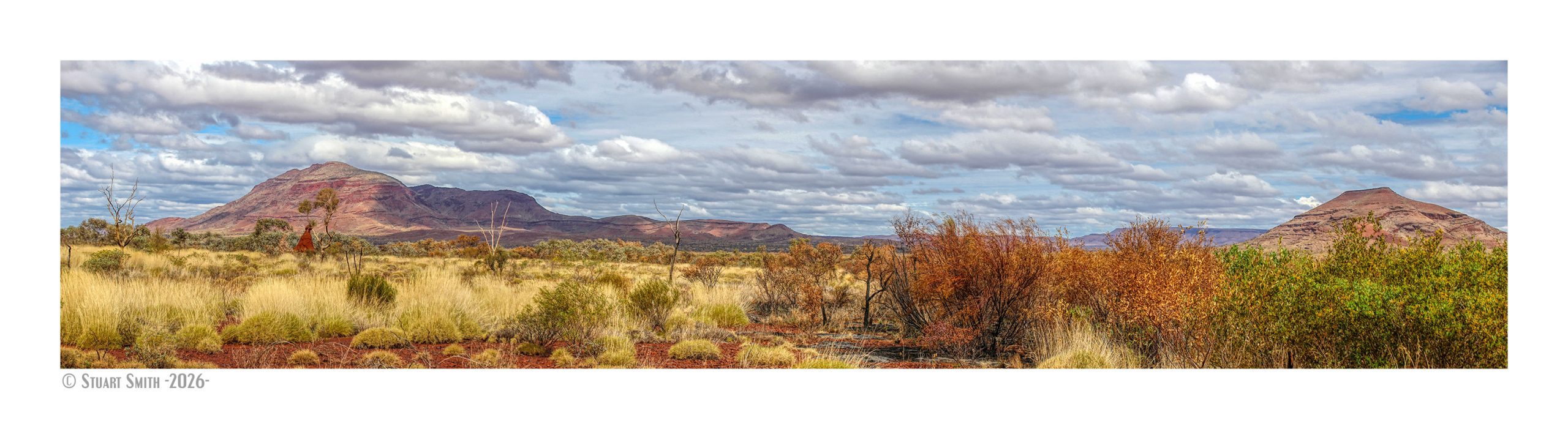
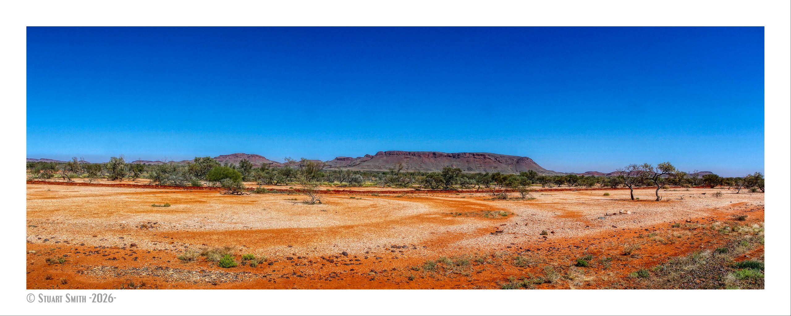
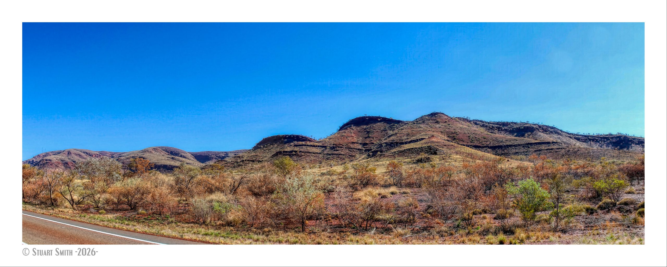
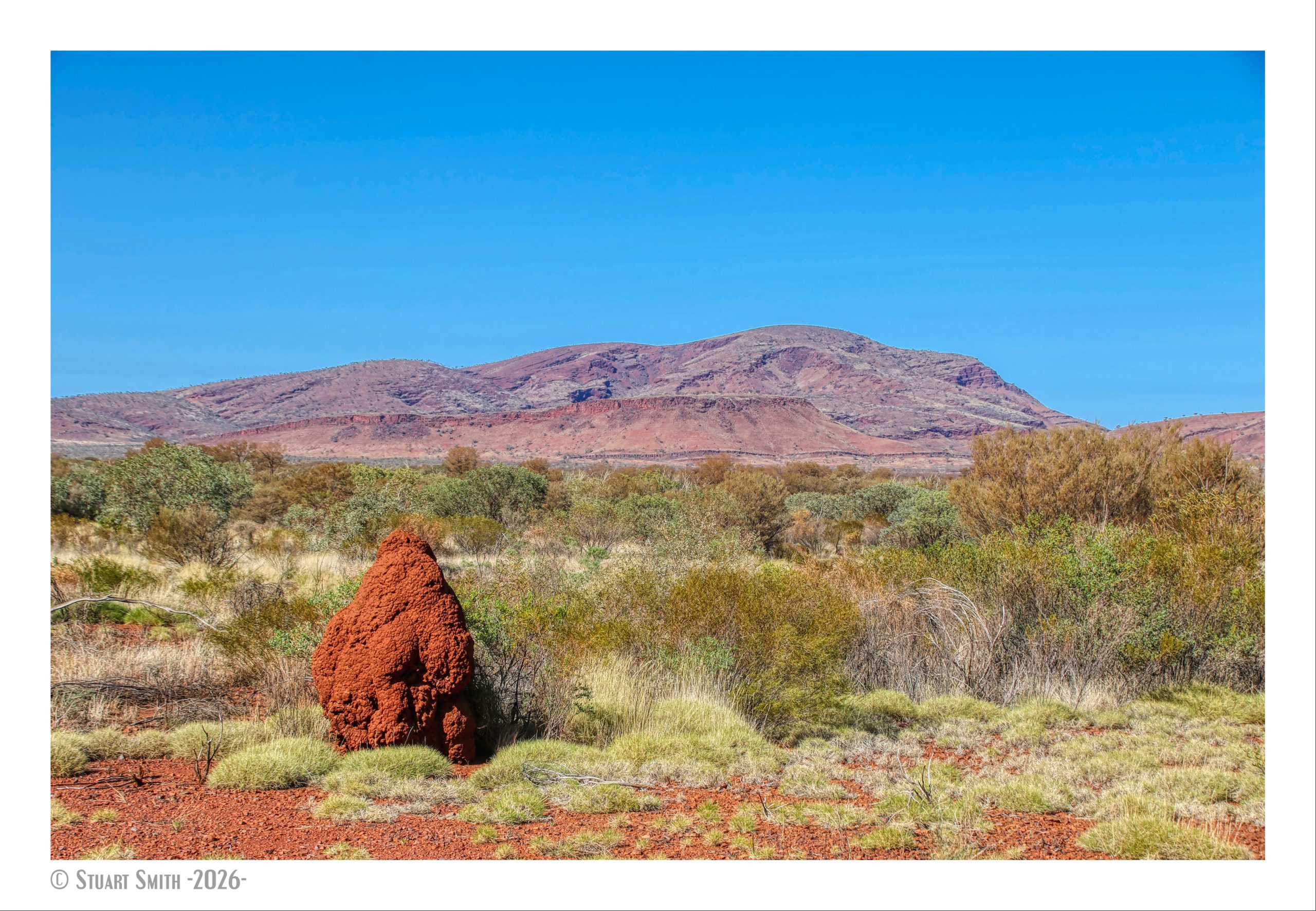
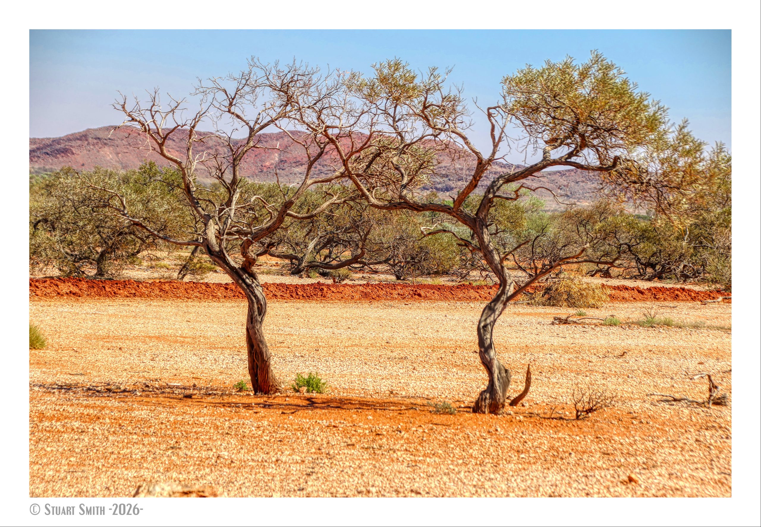
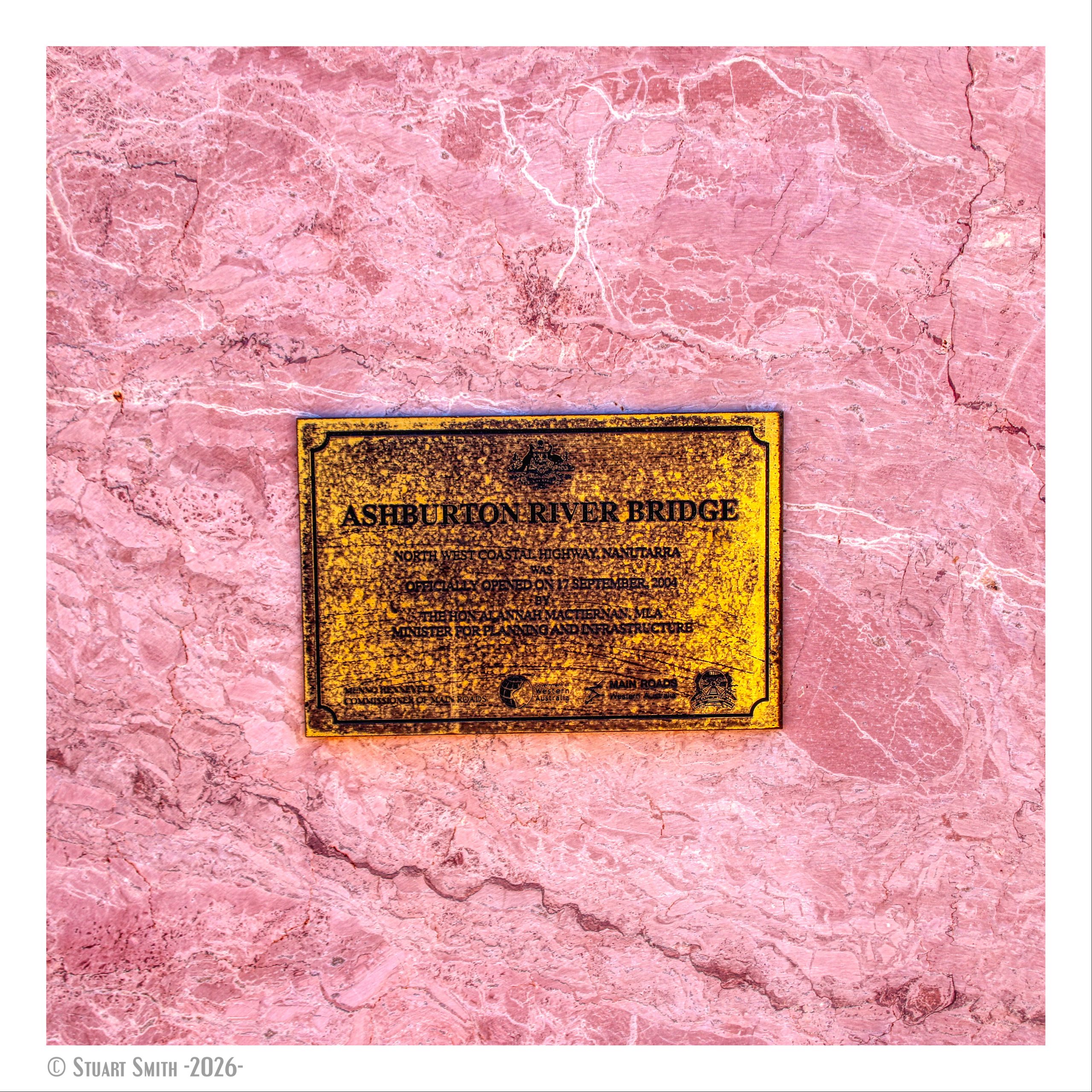
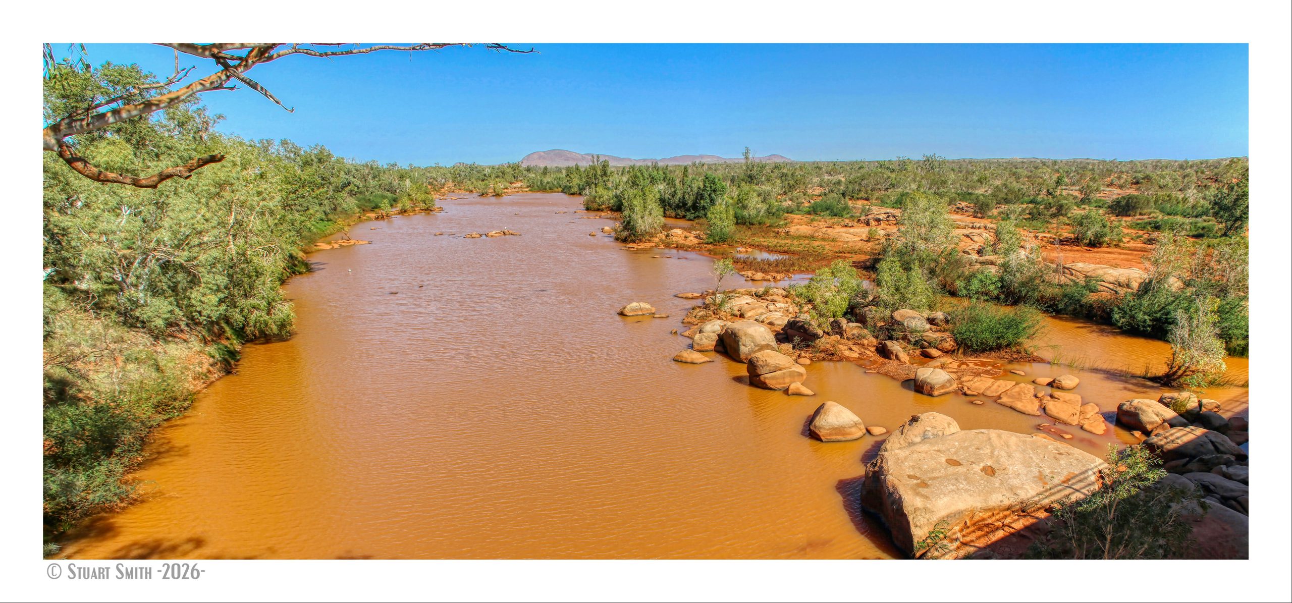
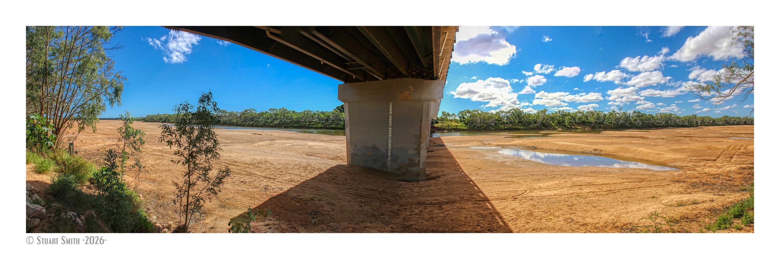
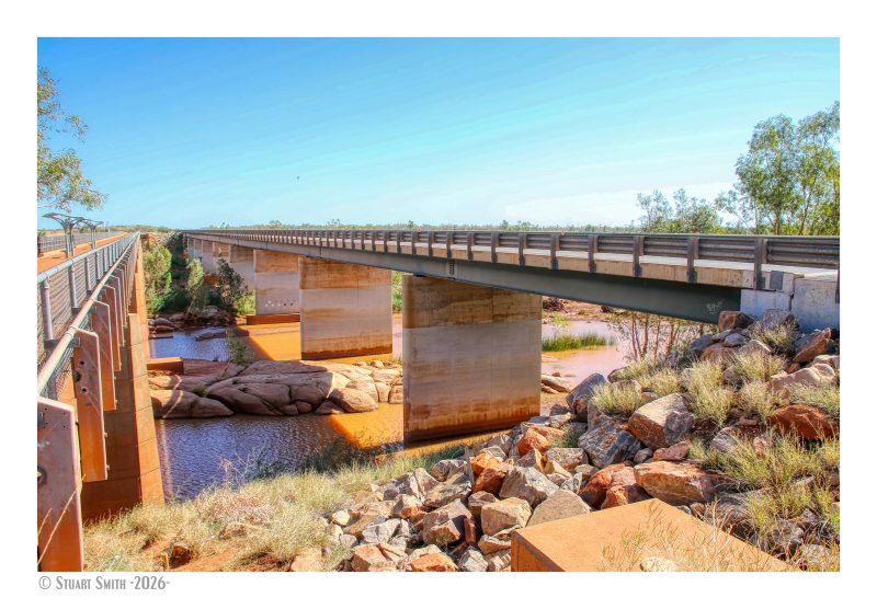 Nanutarra Bridge, Ashburton River, North West Coastal Highway, Nanutarra, Western Australia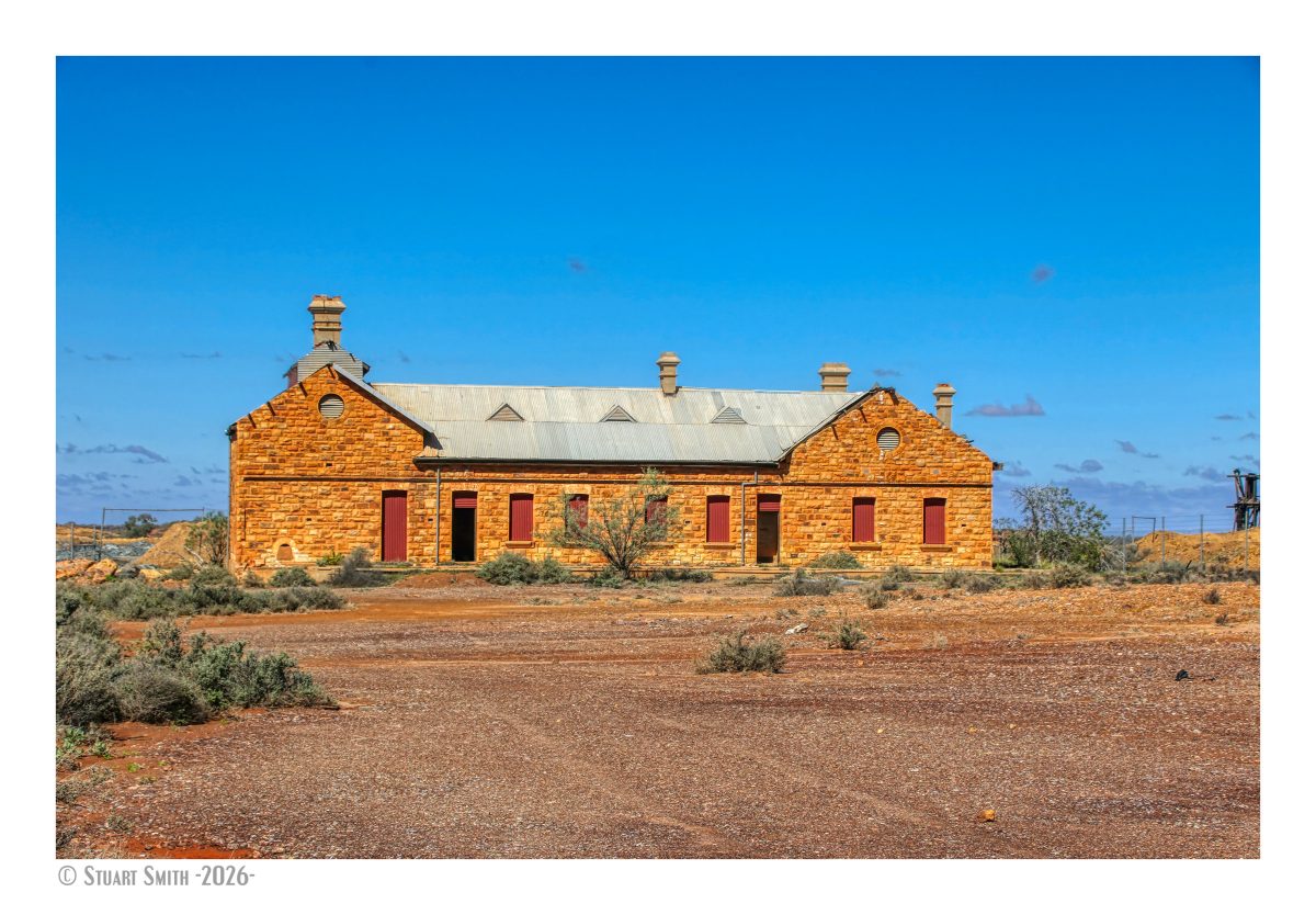
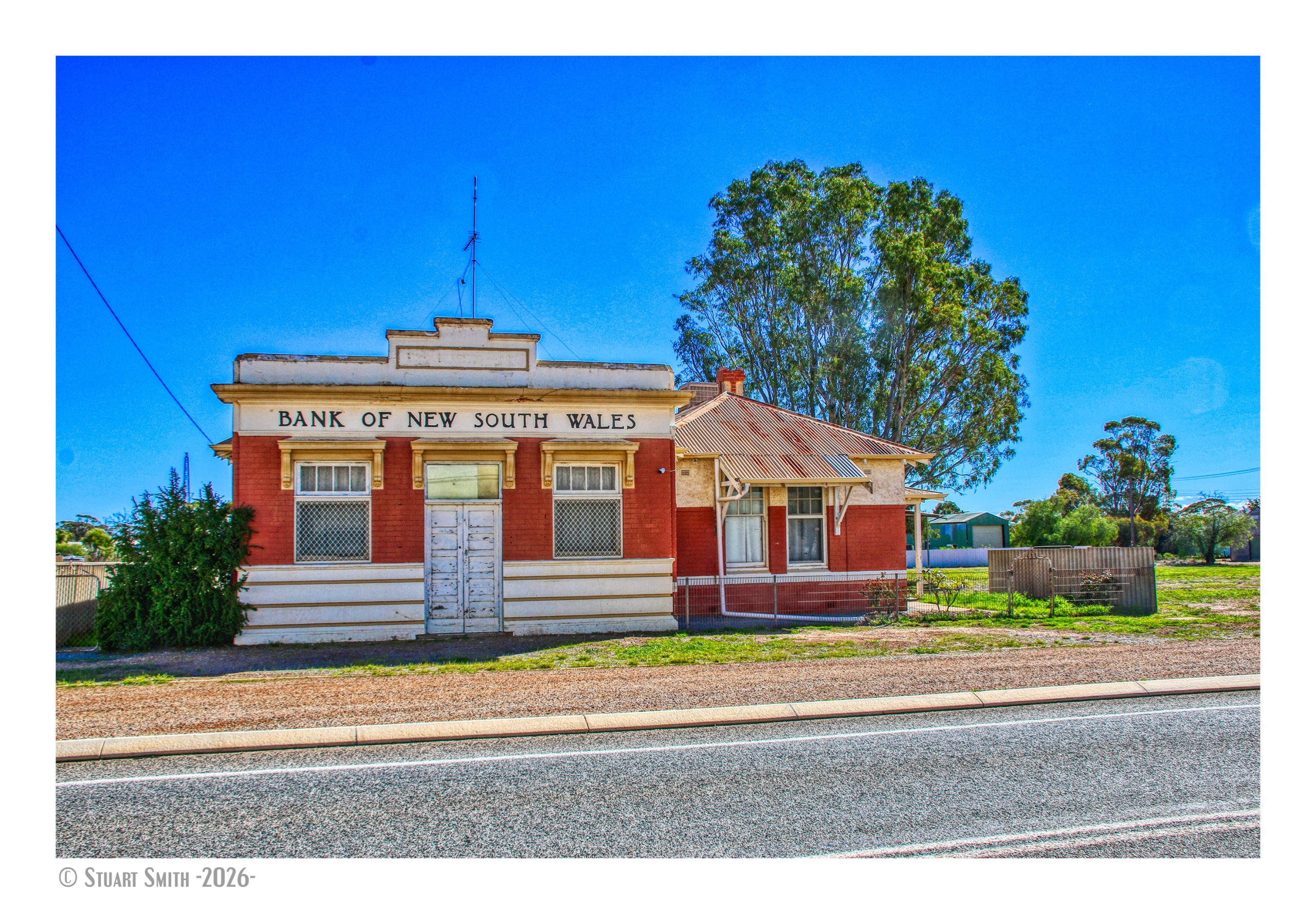
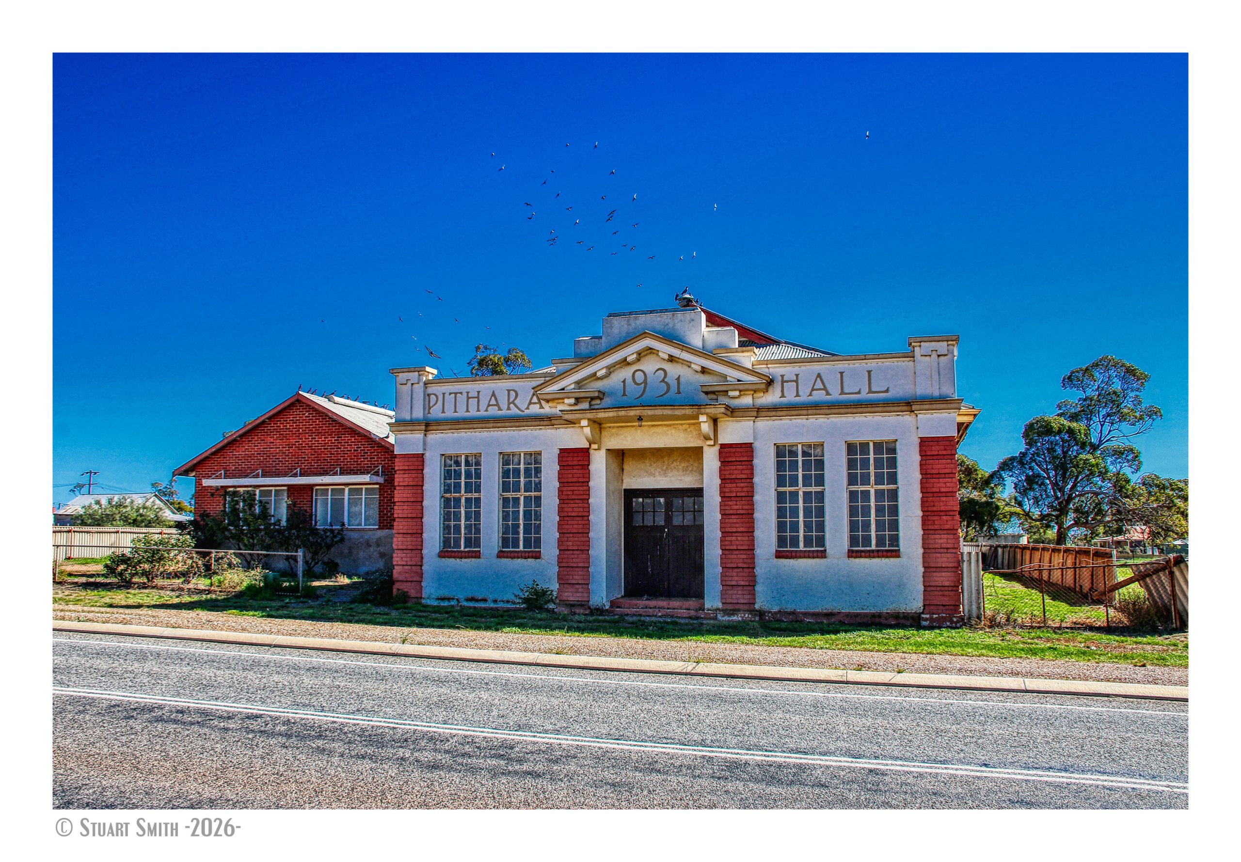
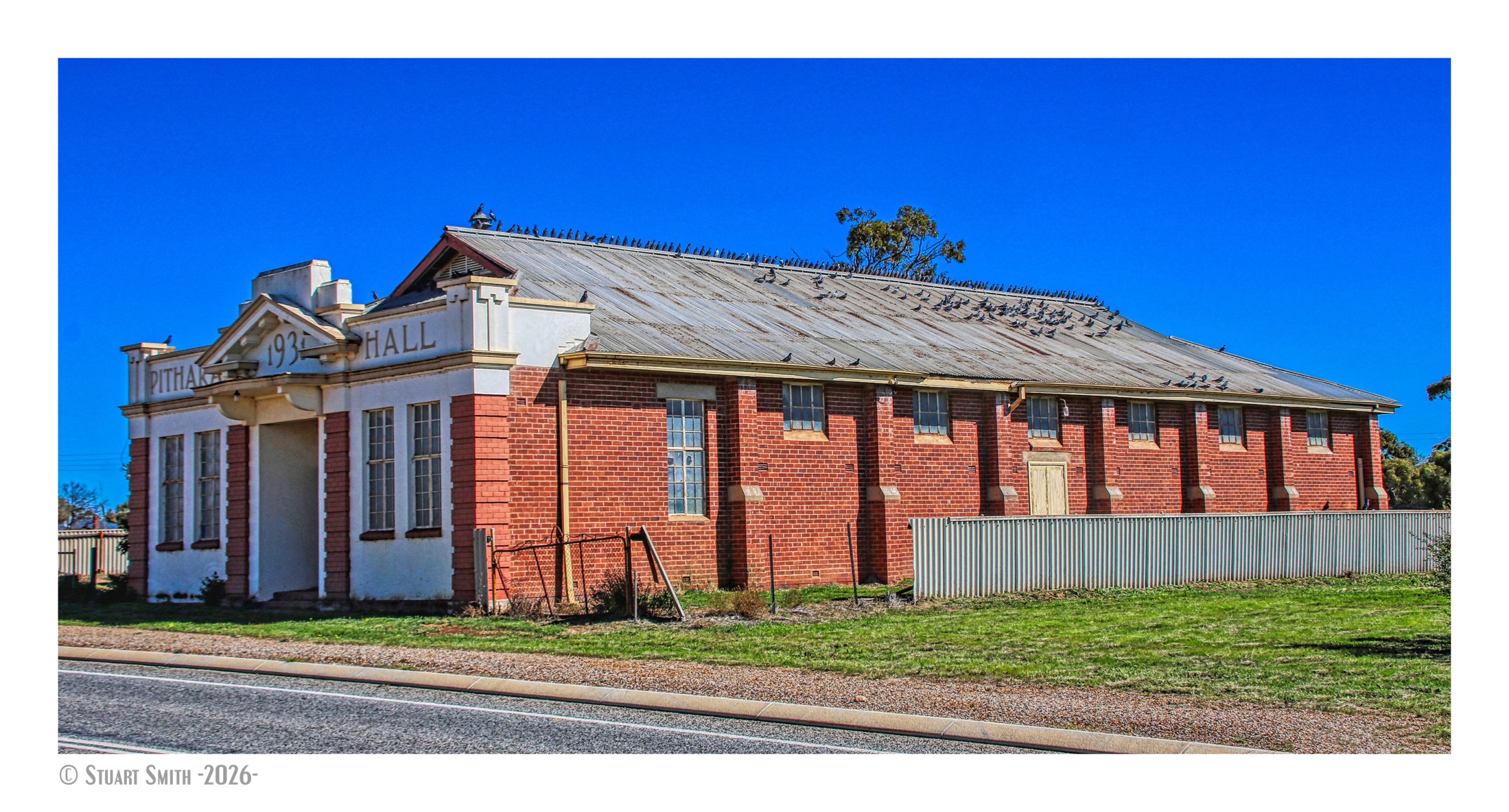
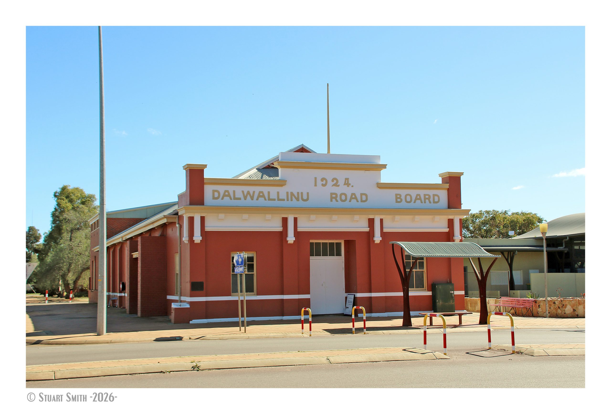
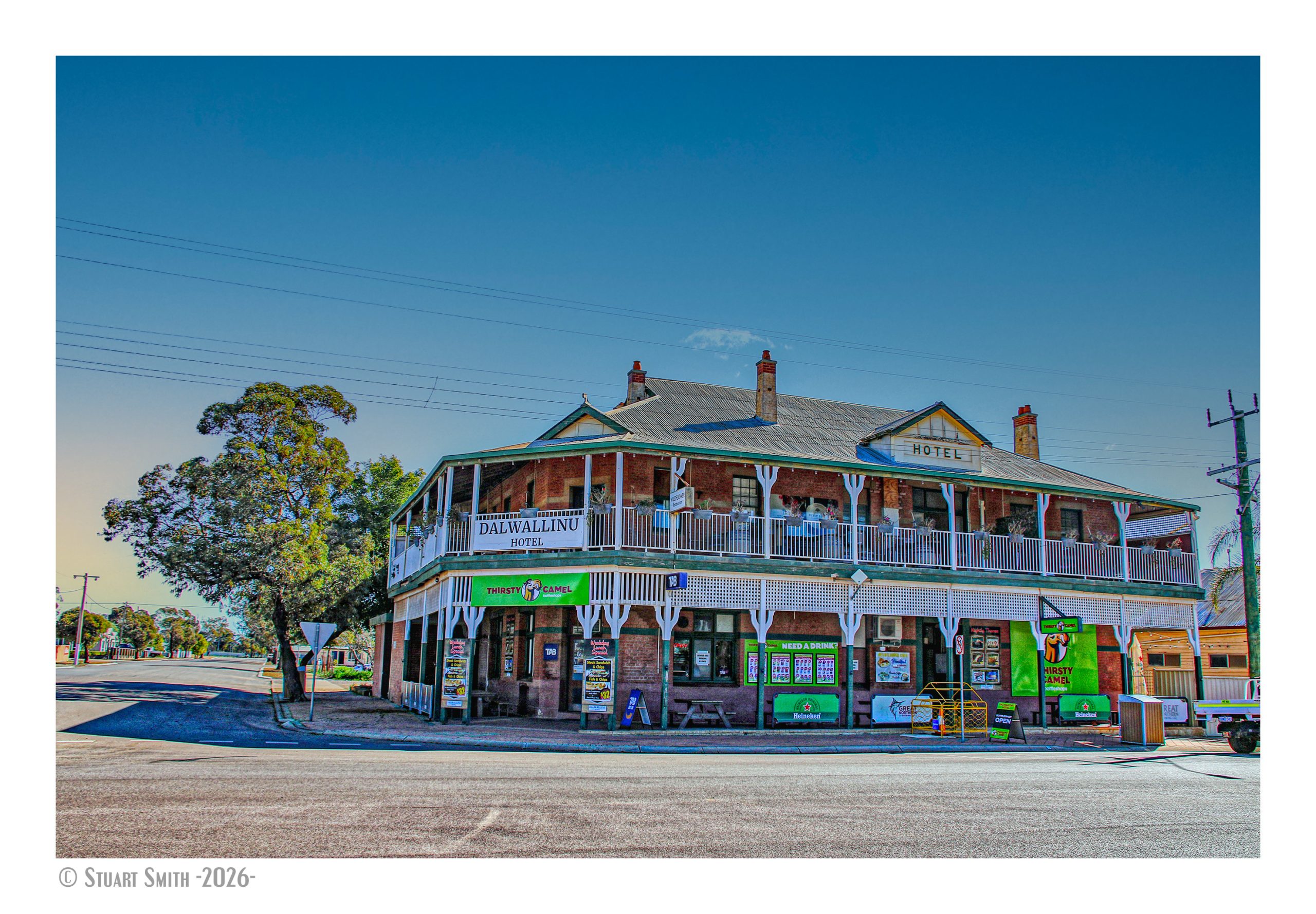
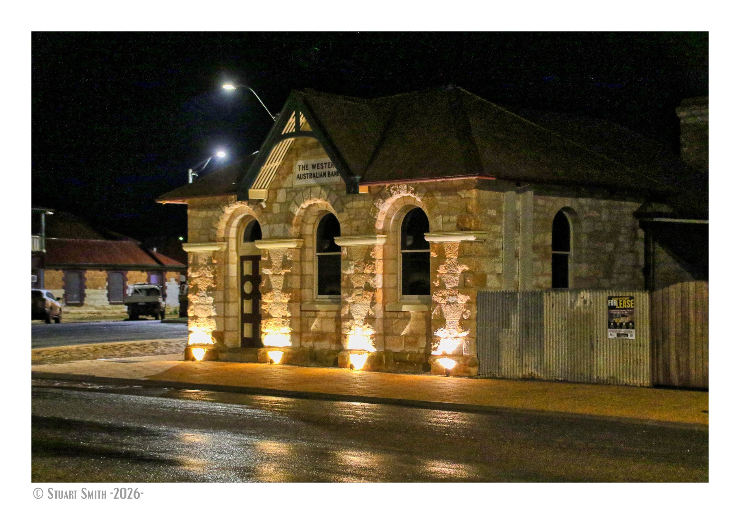
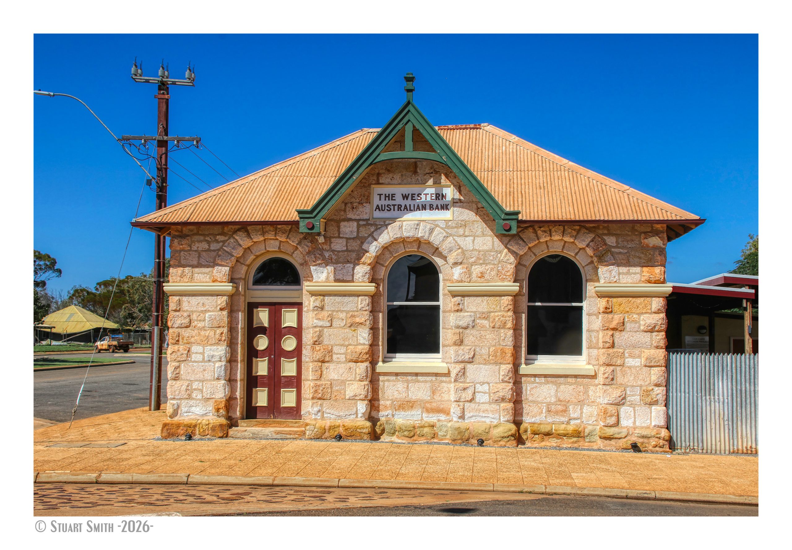
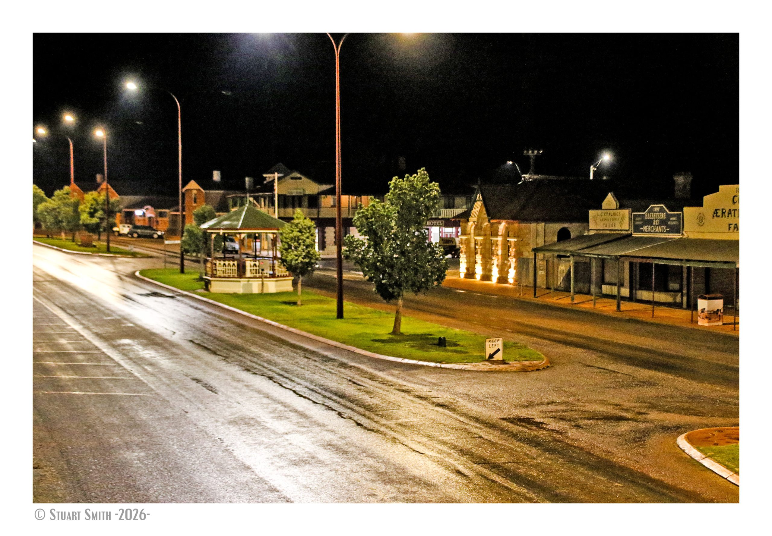
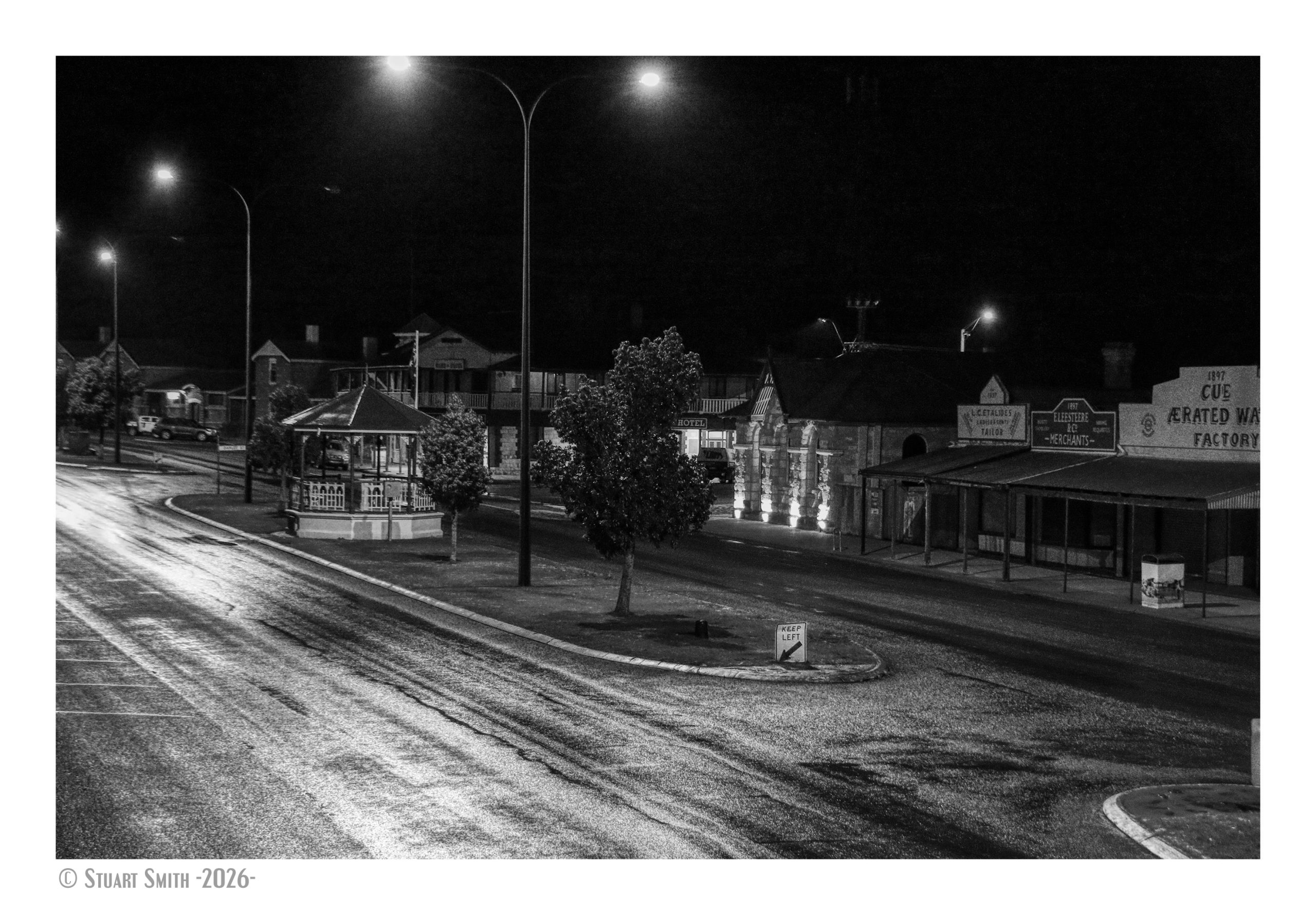
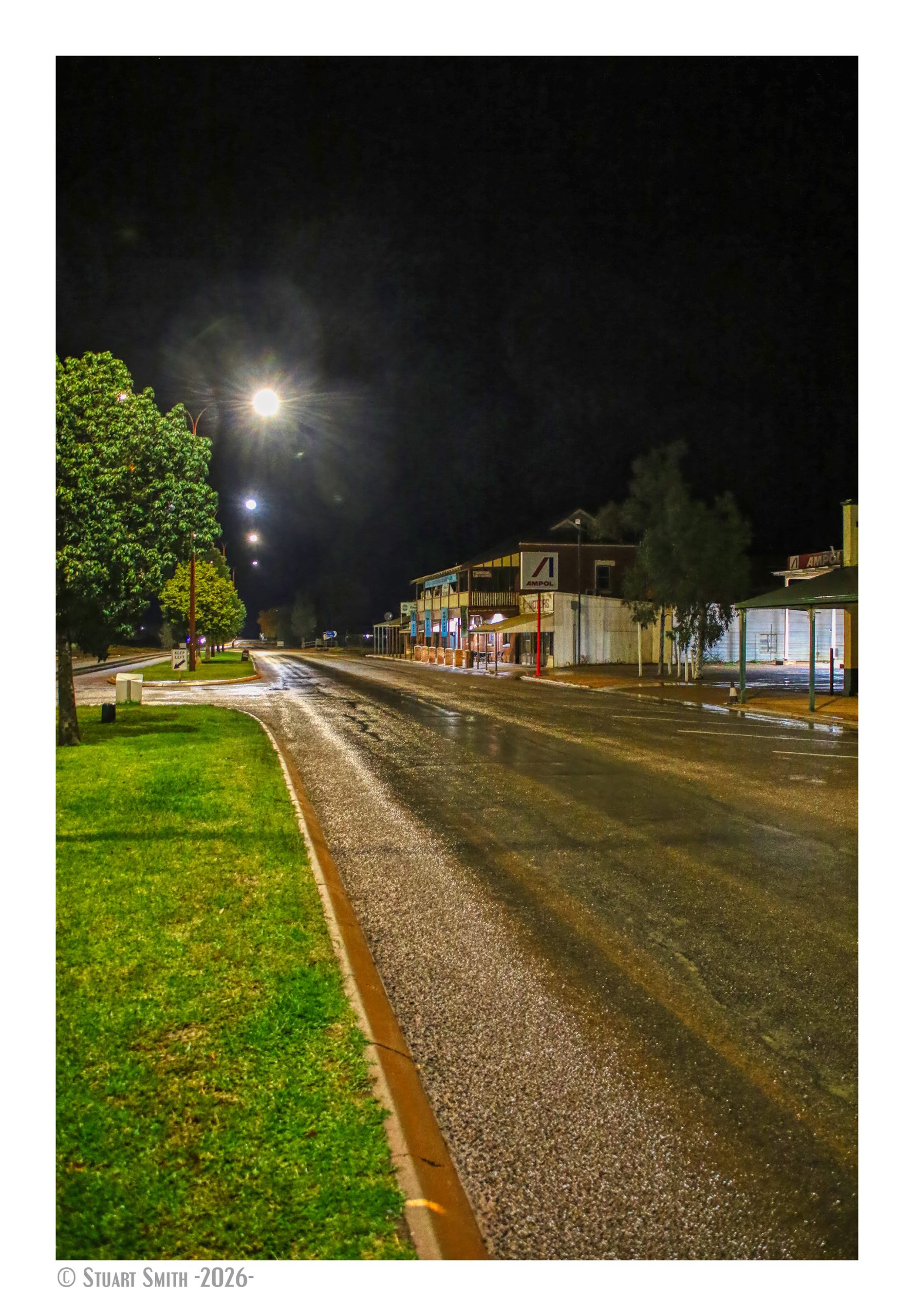
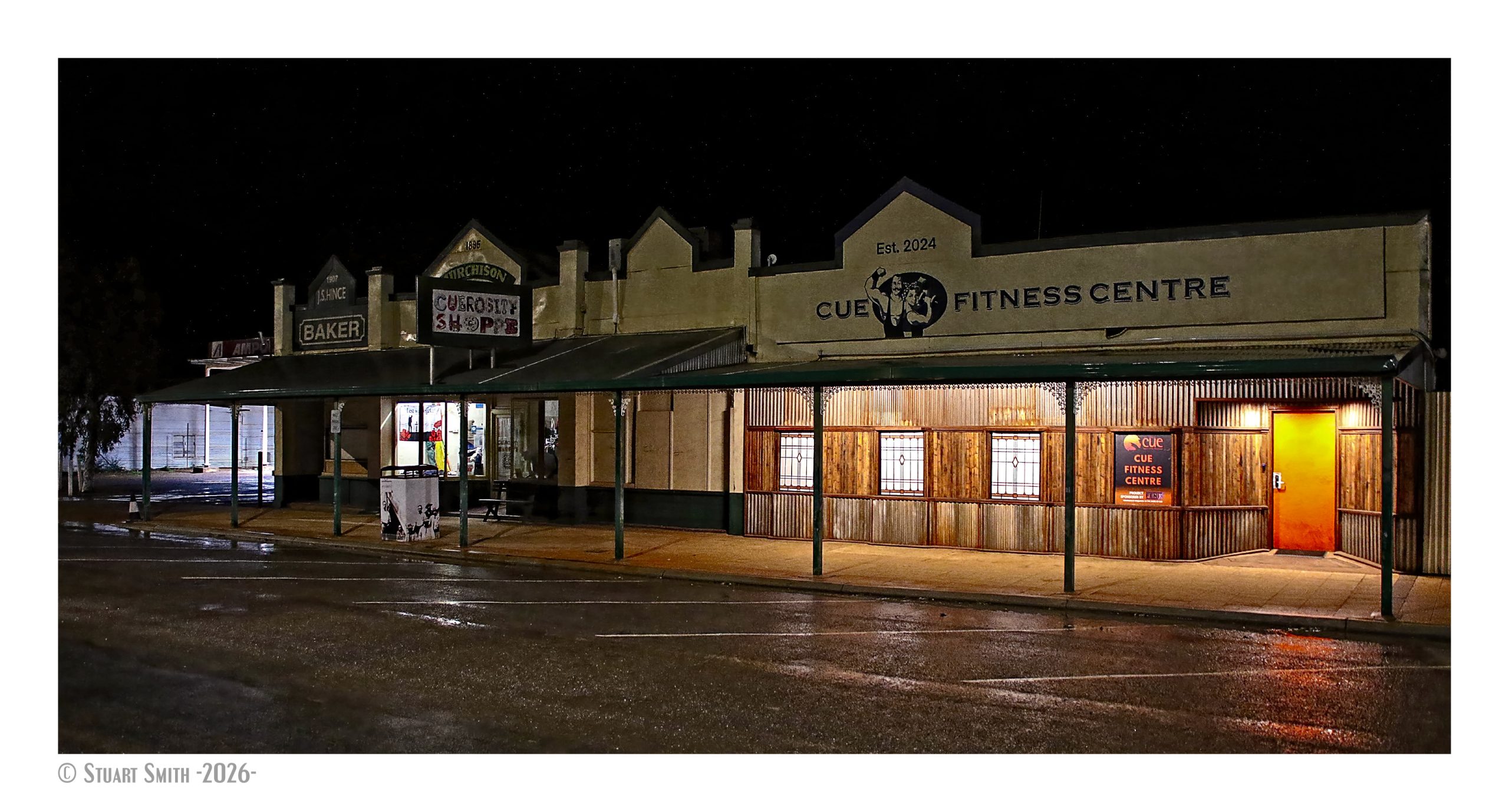
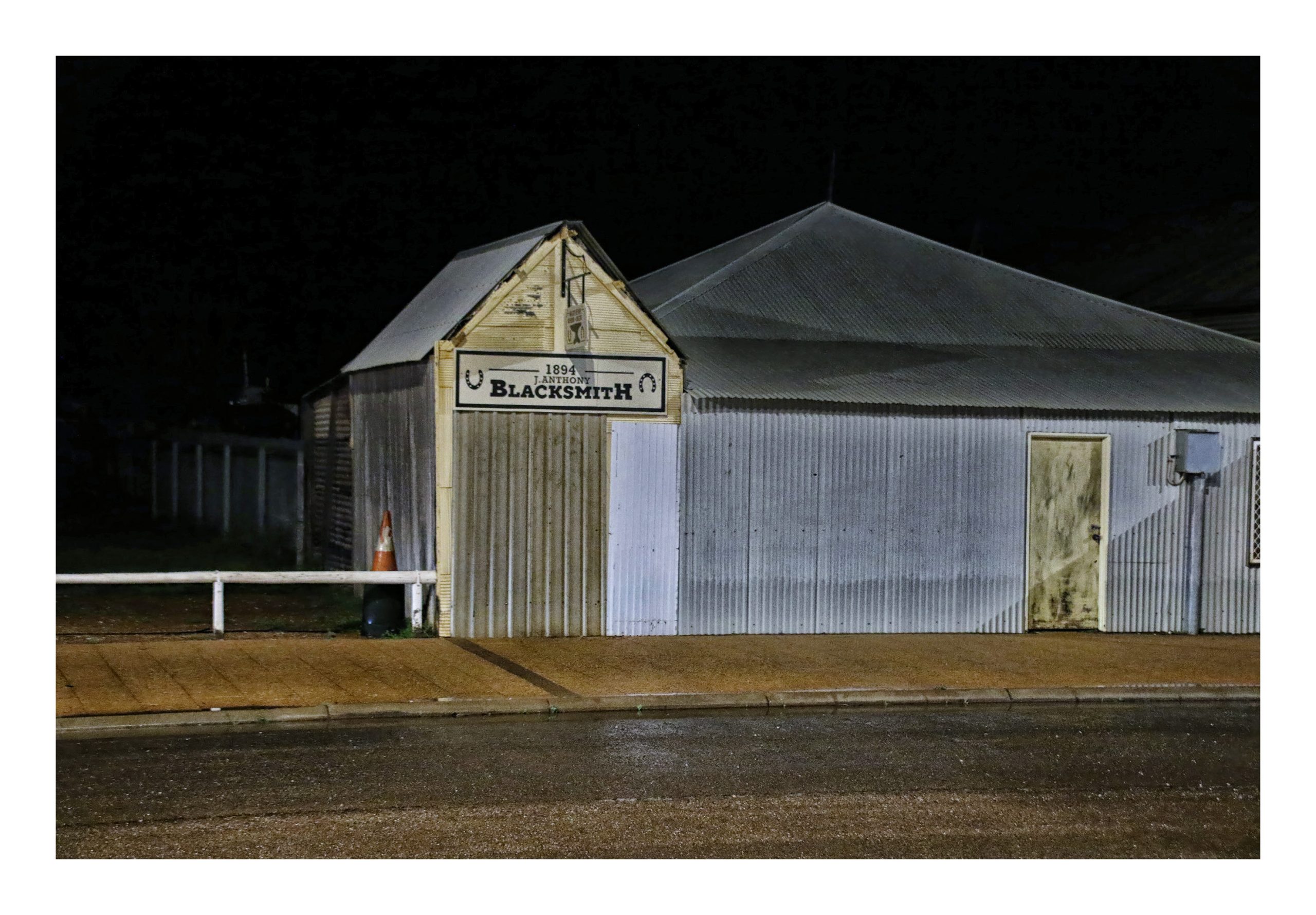
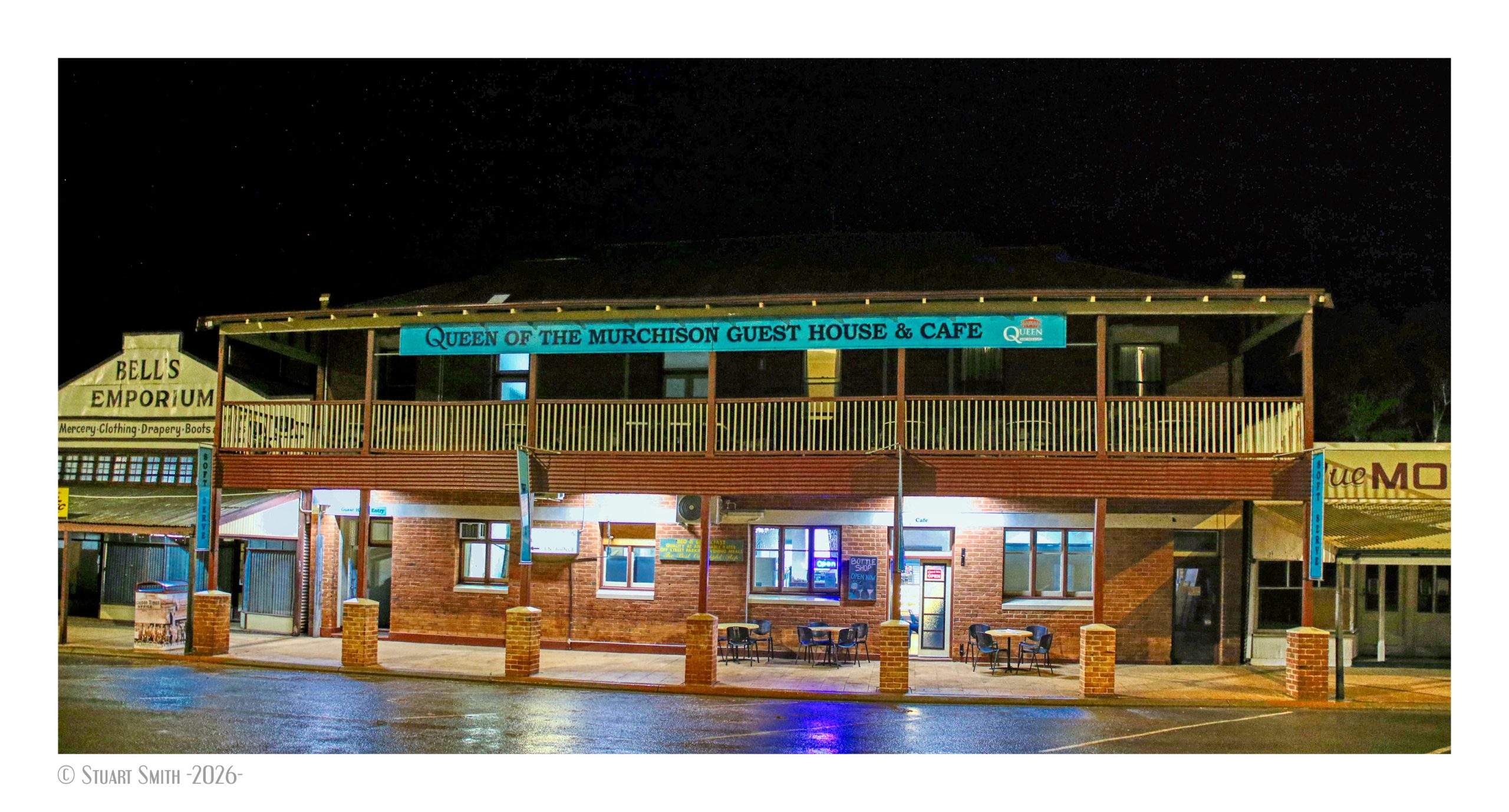
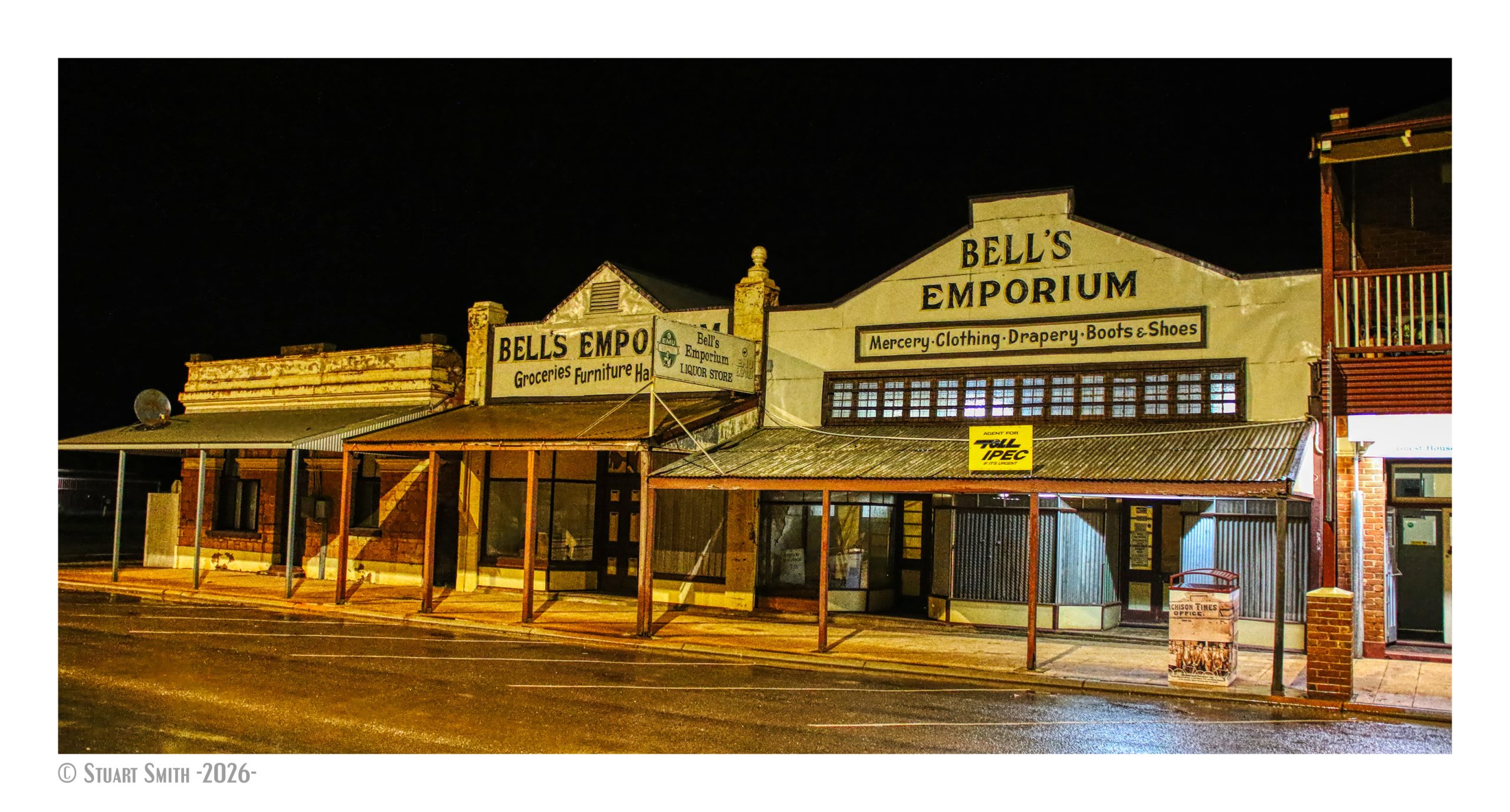
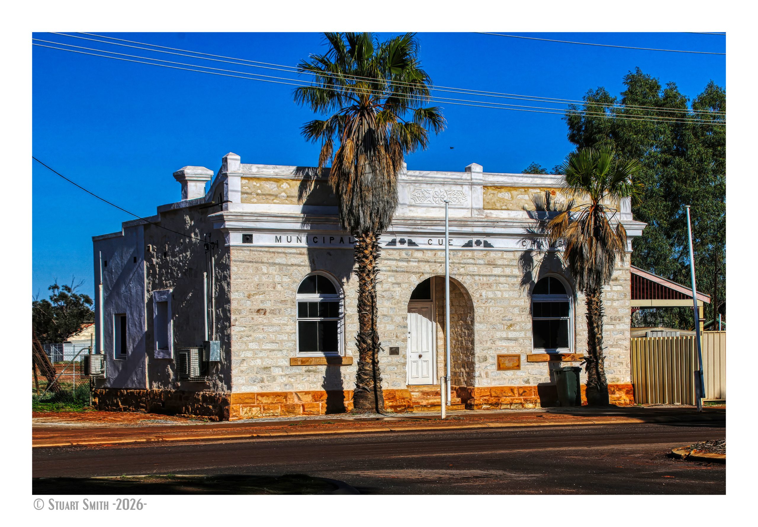
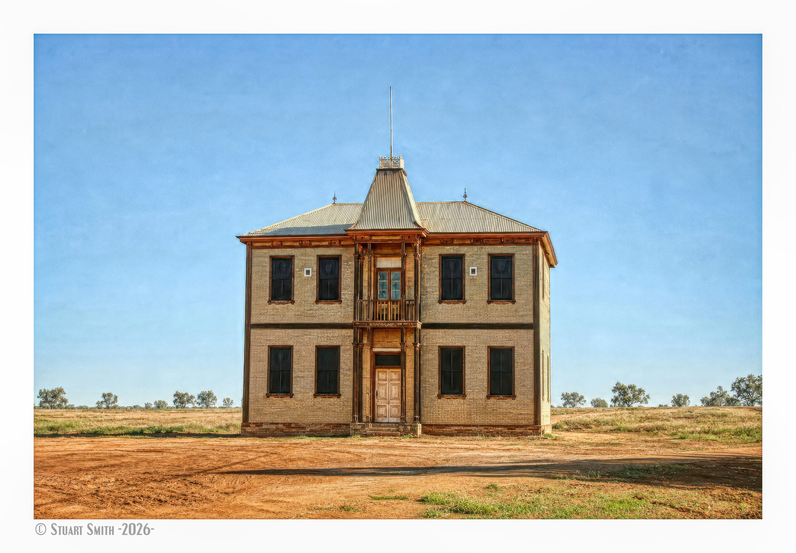
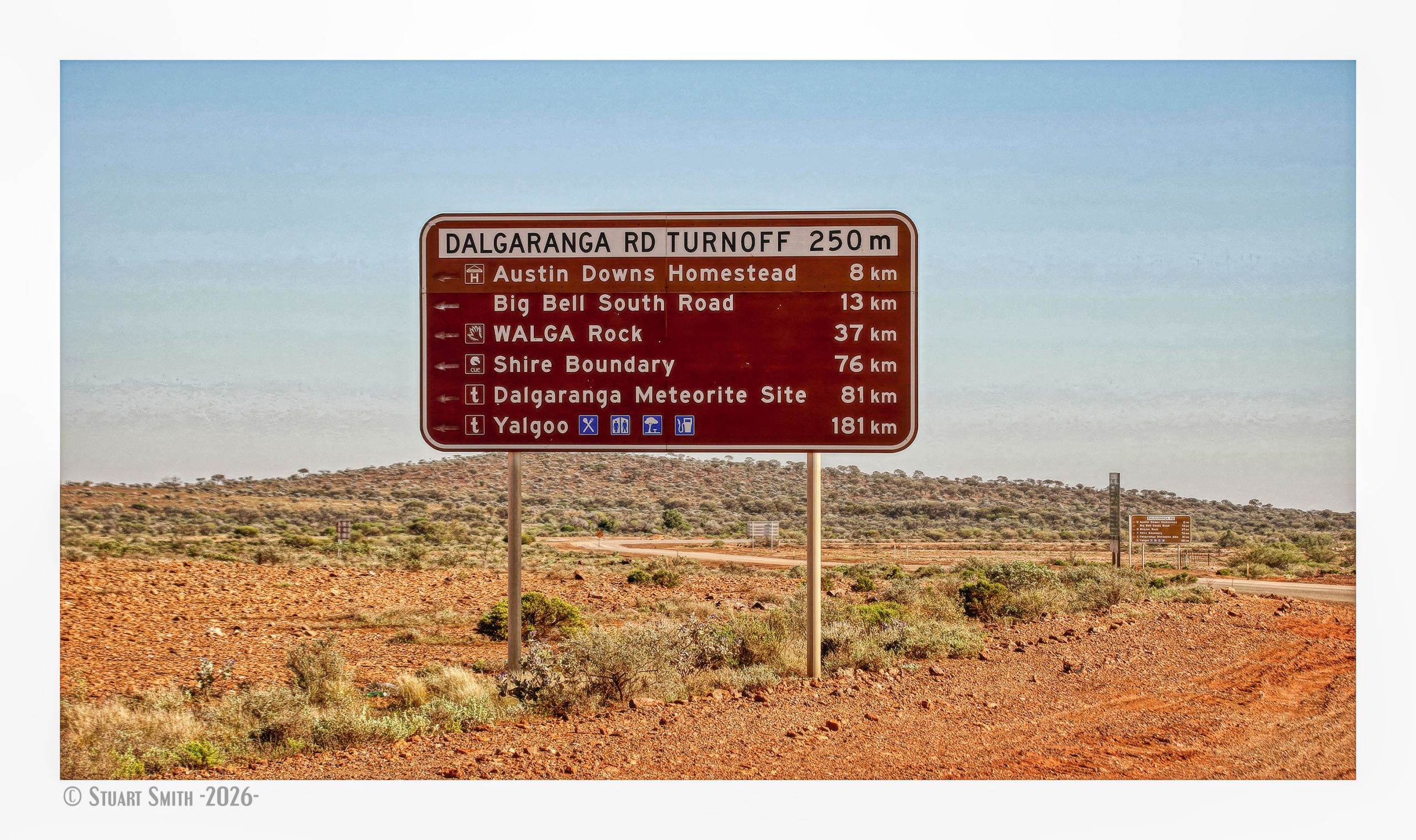
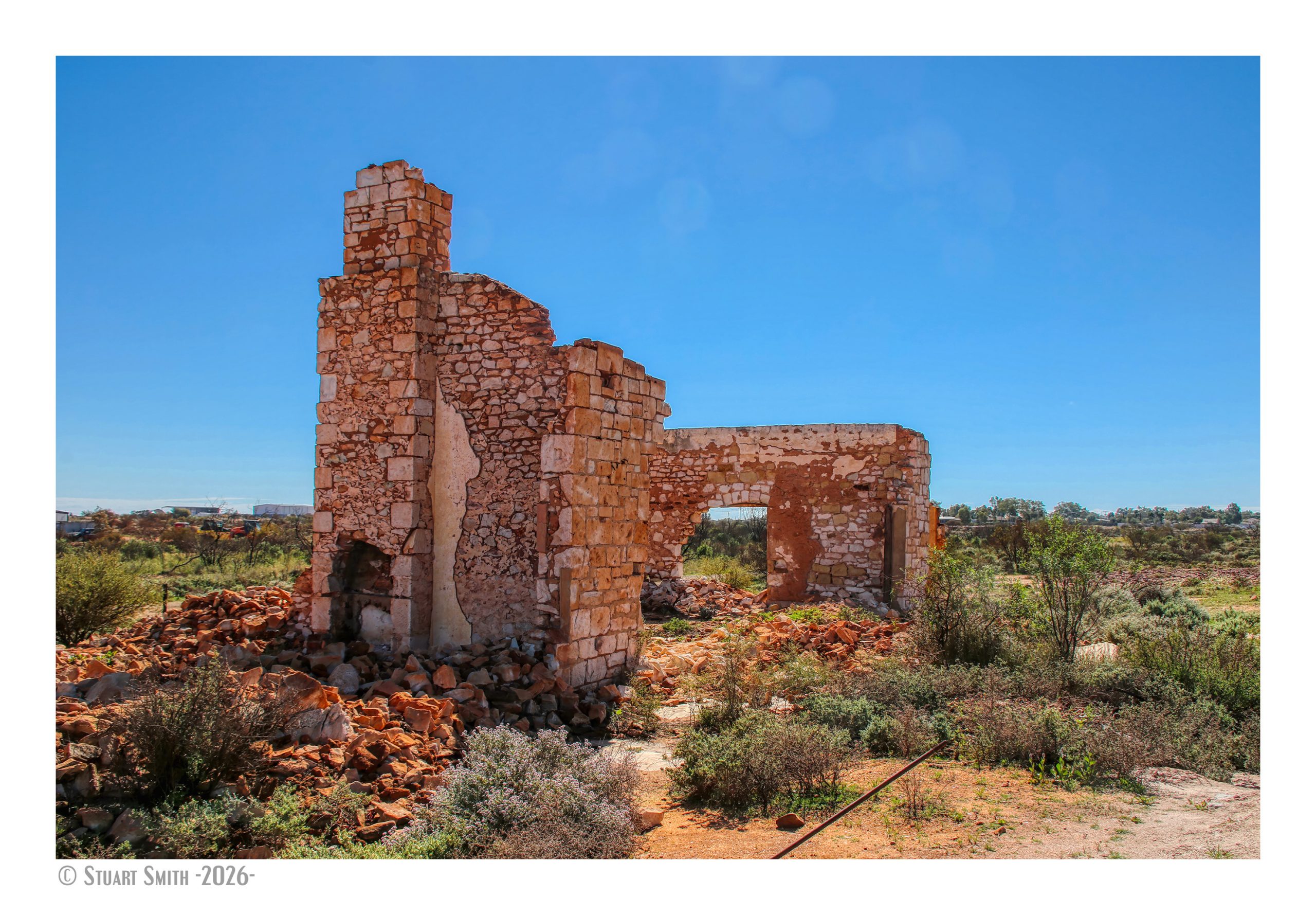
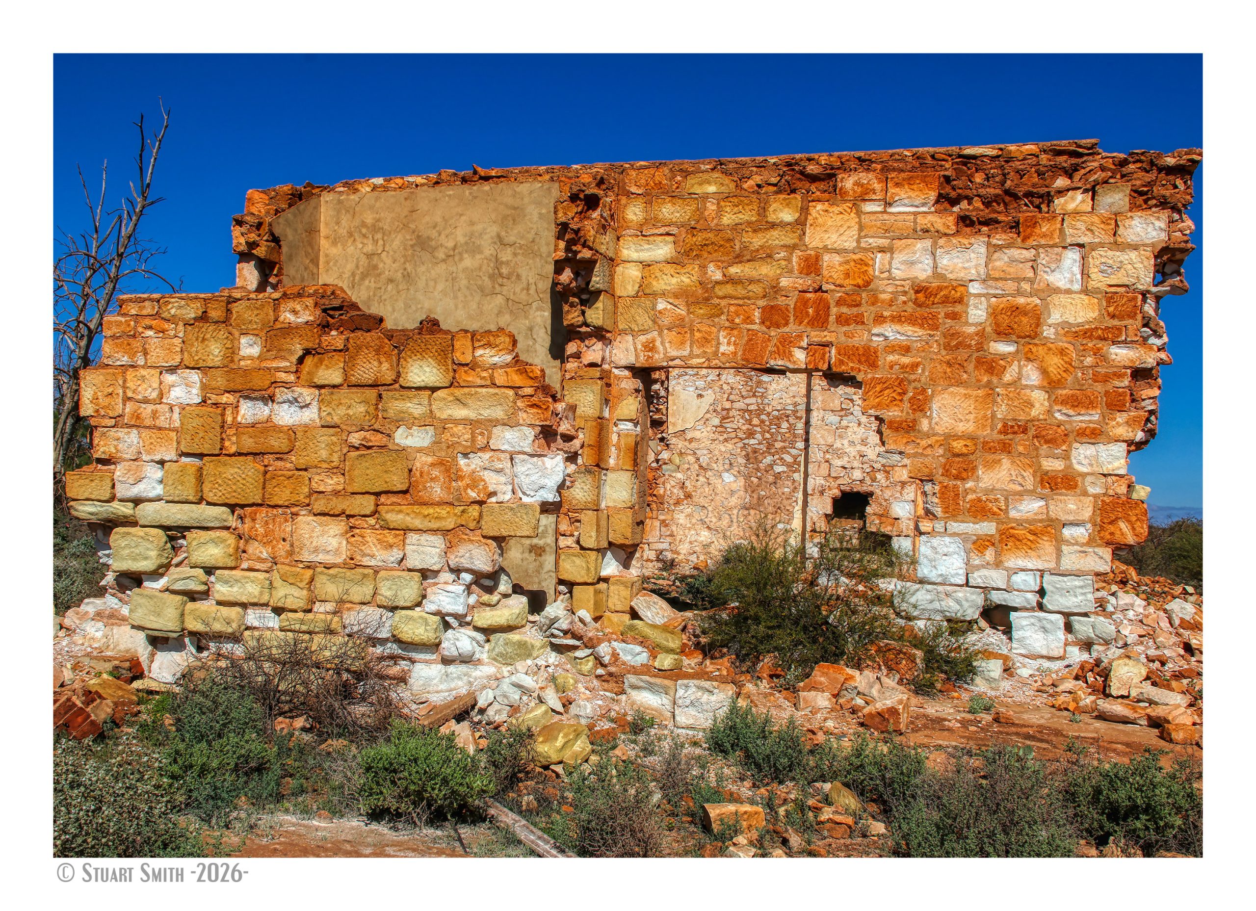
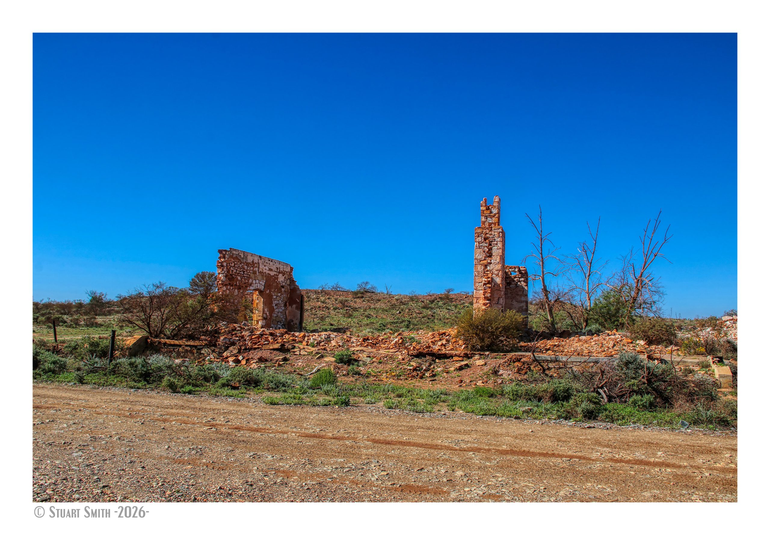
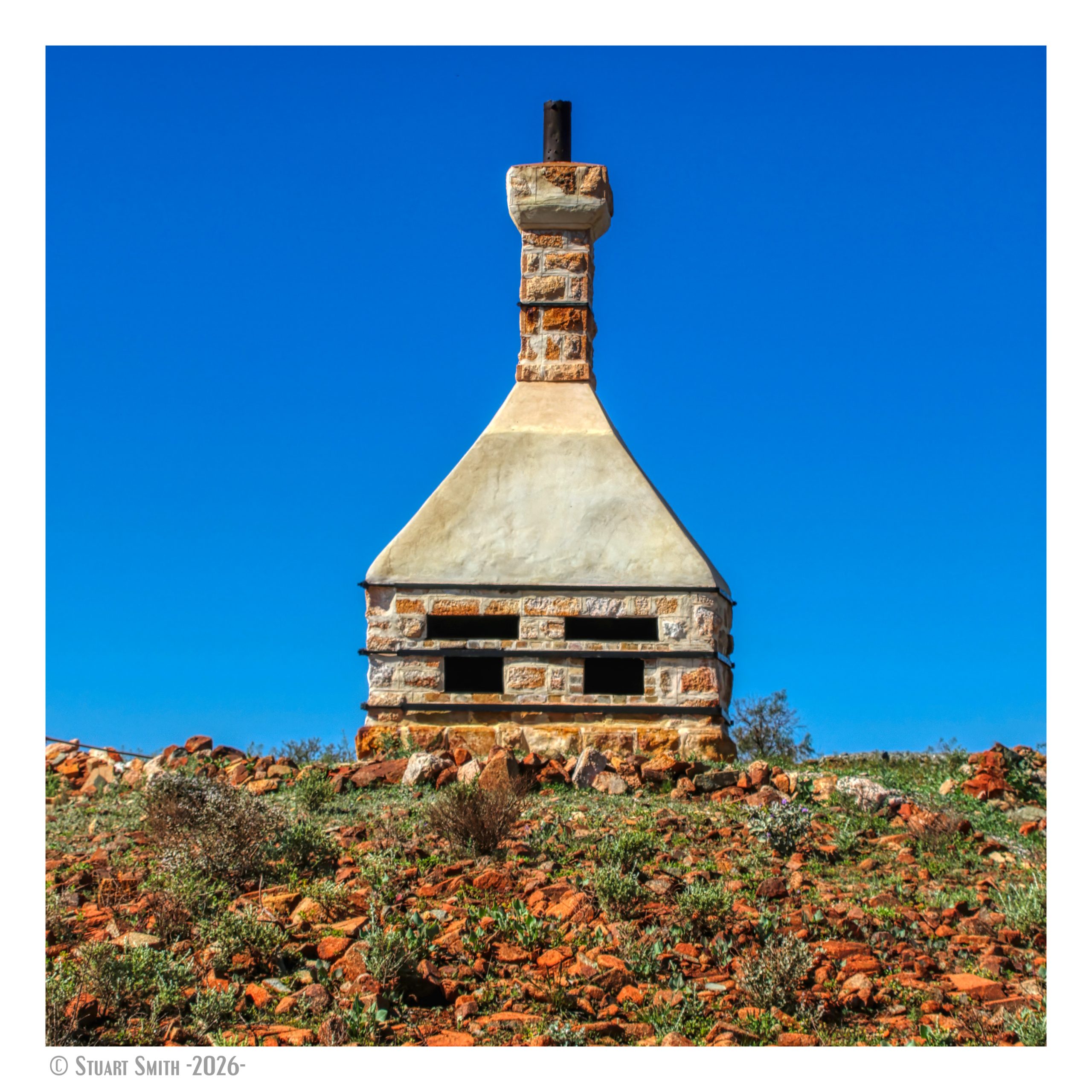
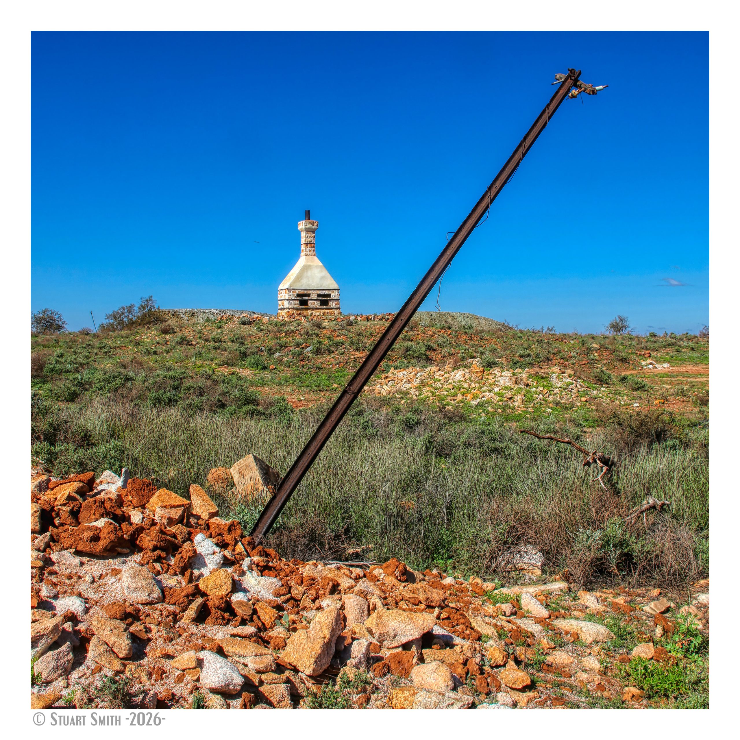
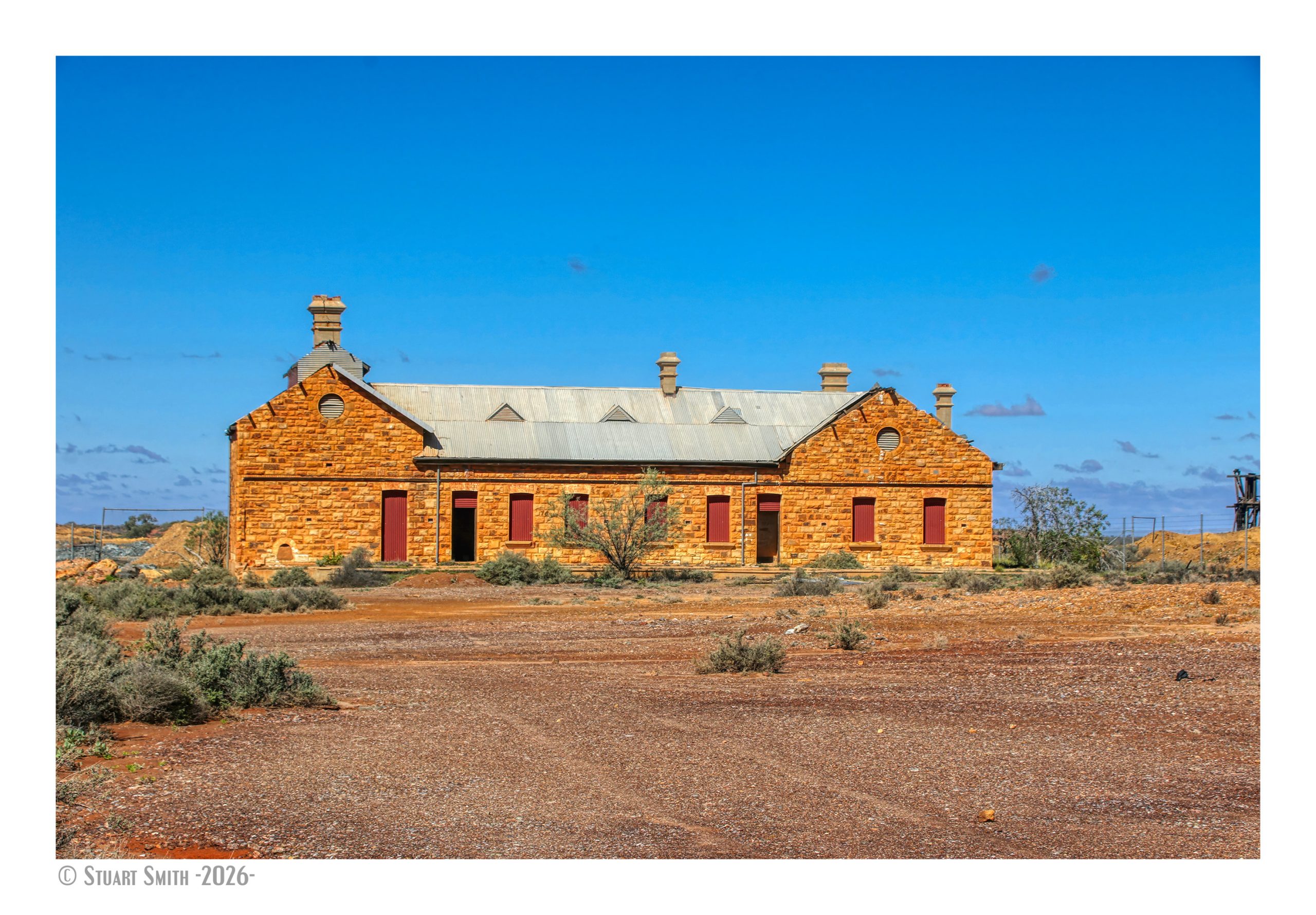
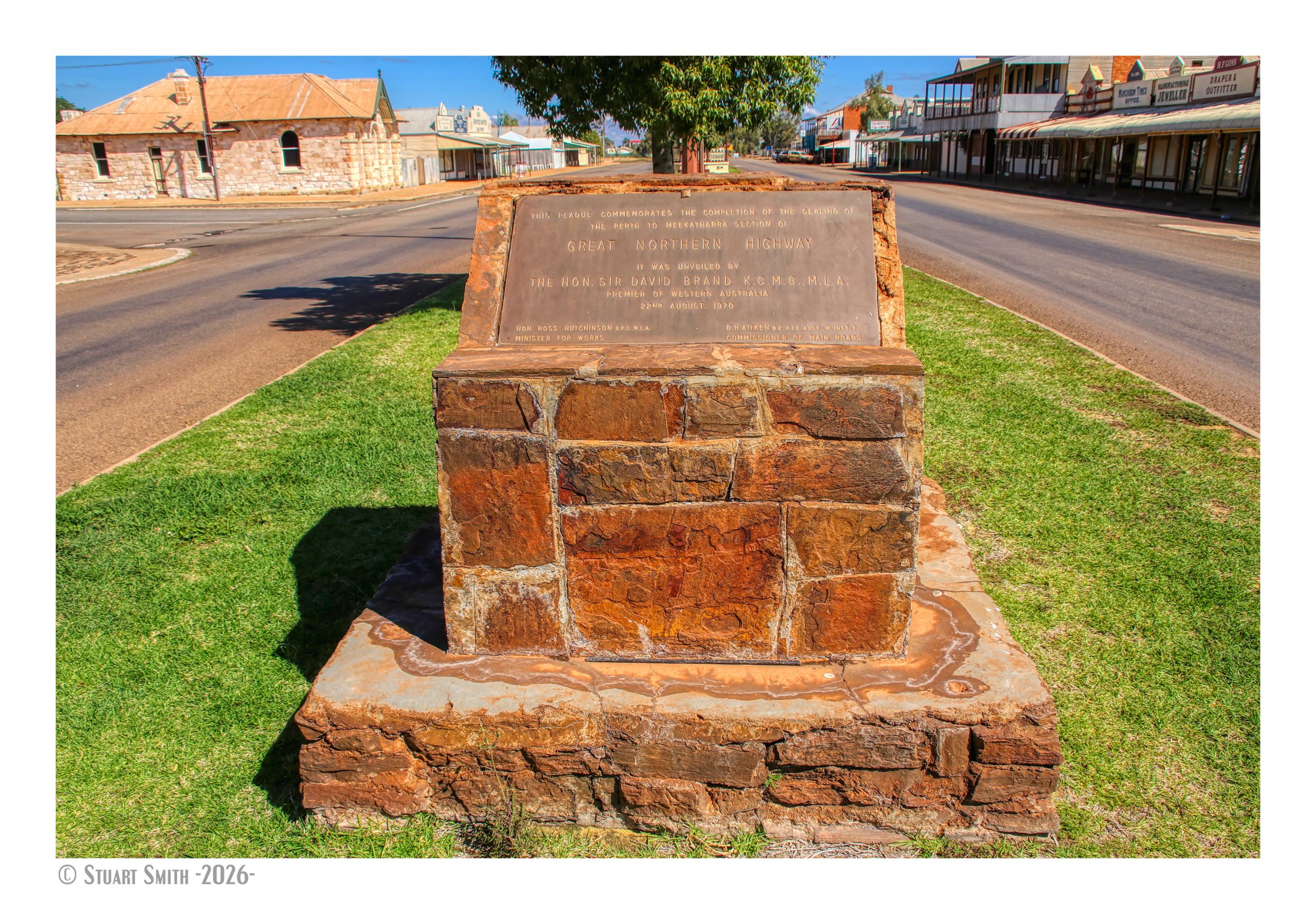
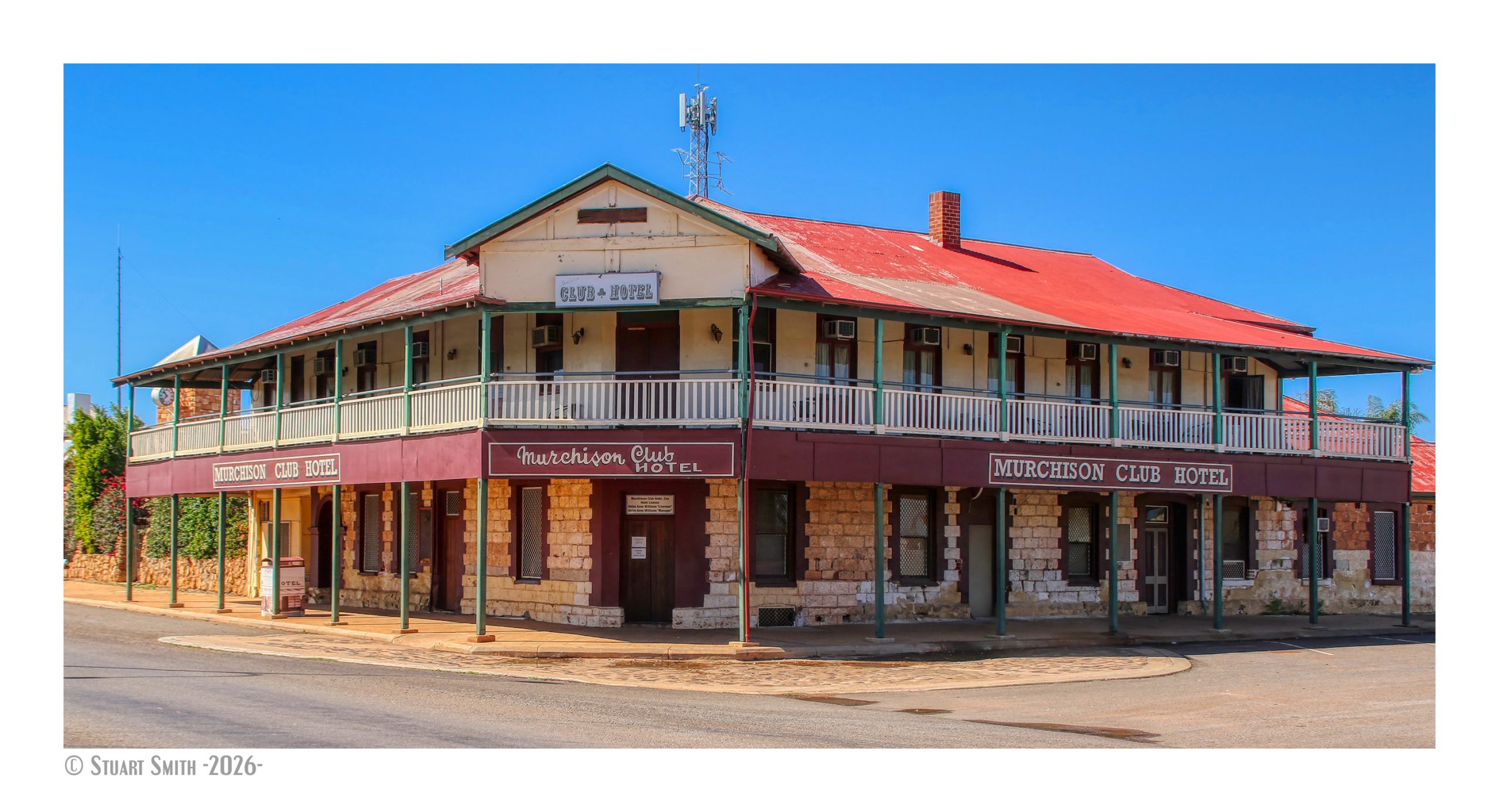
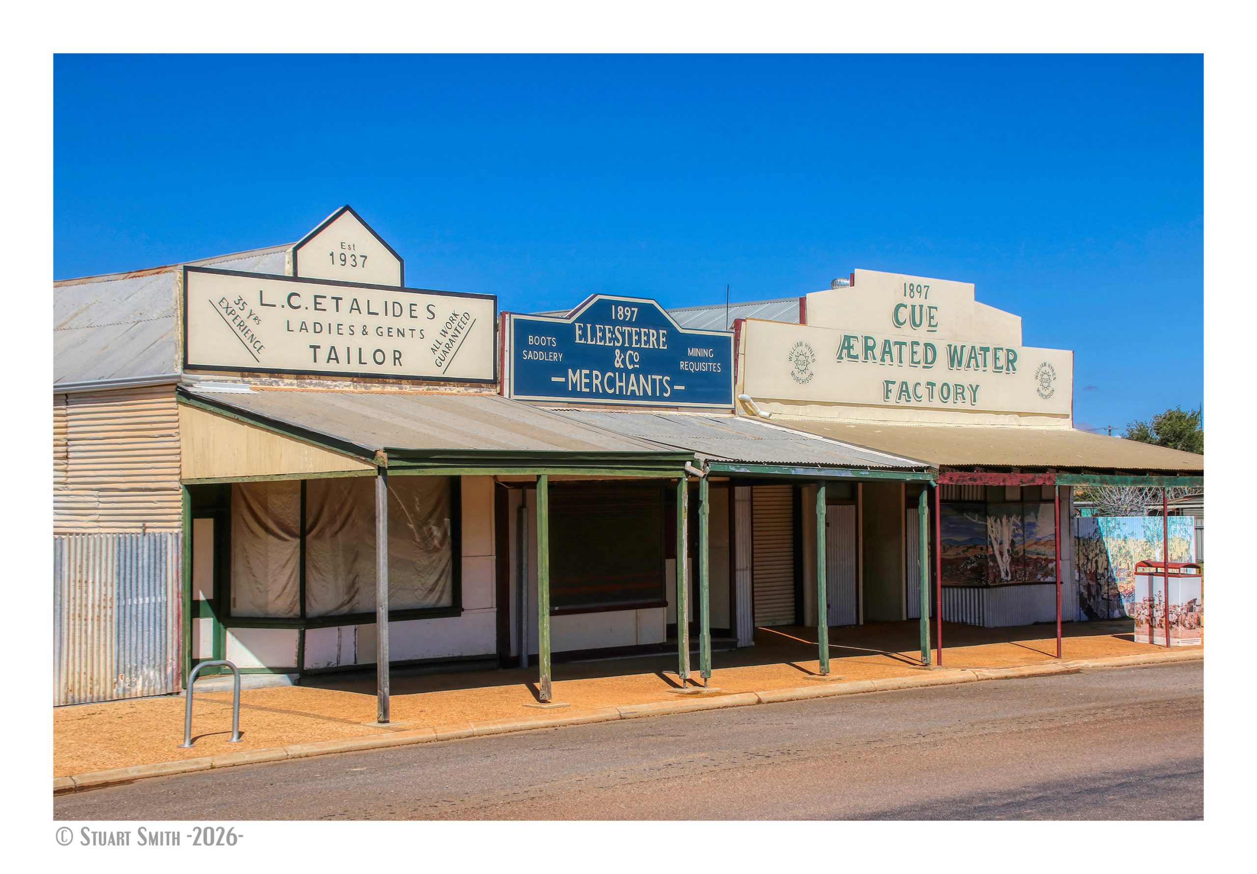
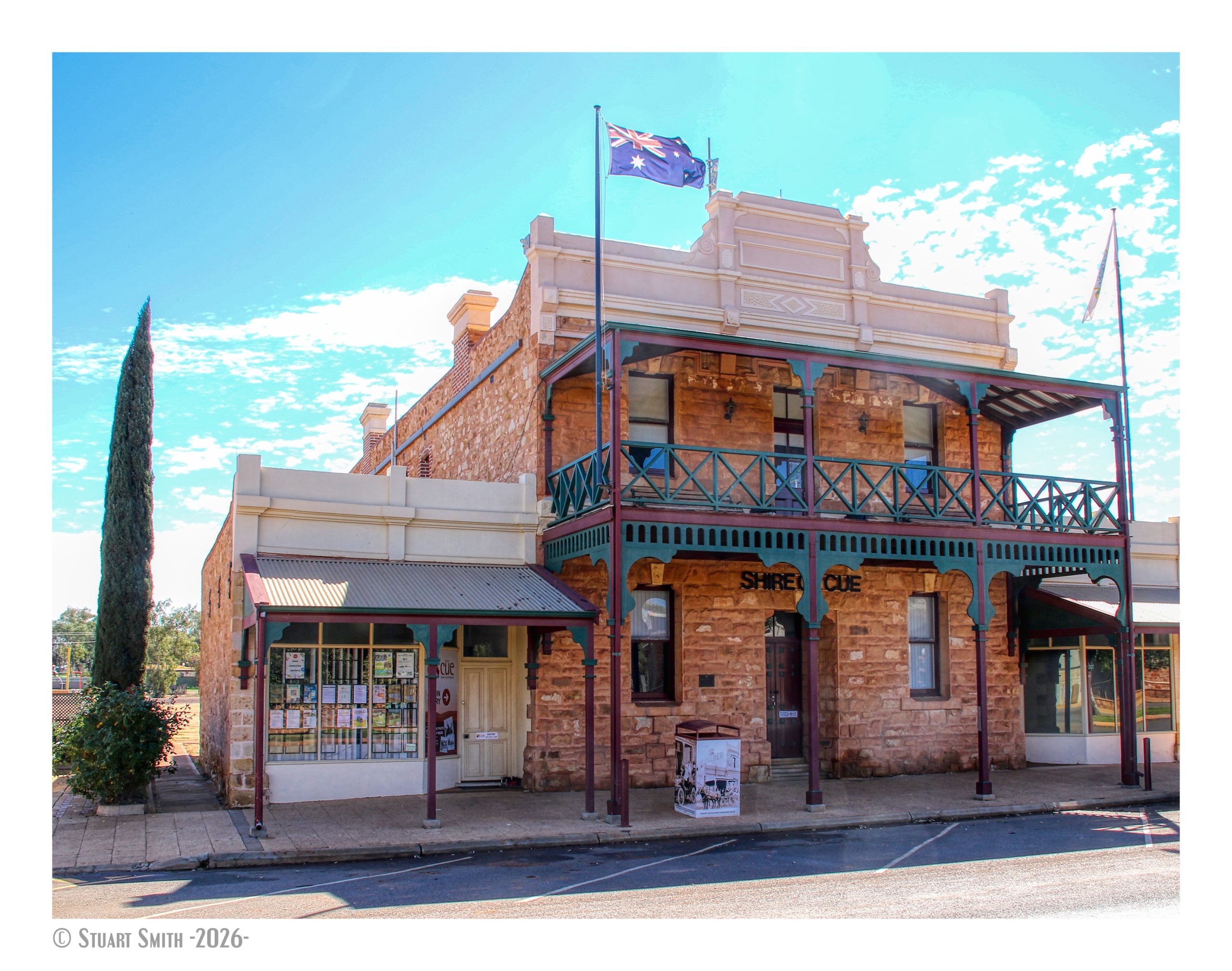
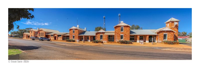 Public Buildings, Austin Street, Cue, Western Australia